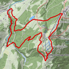
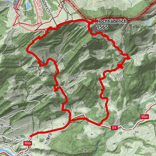
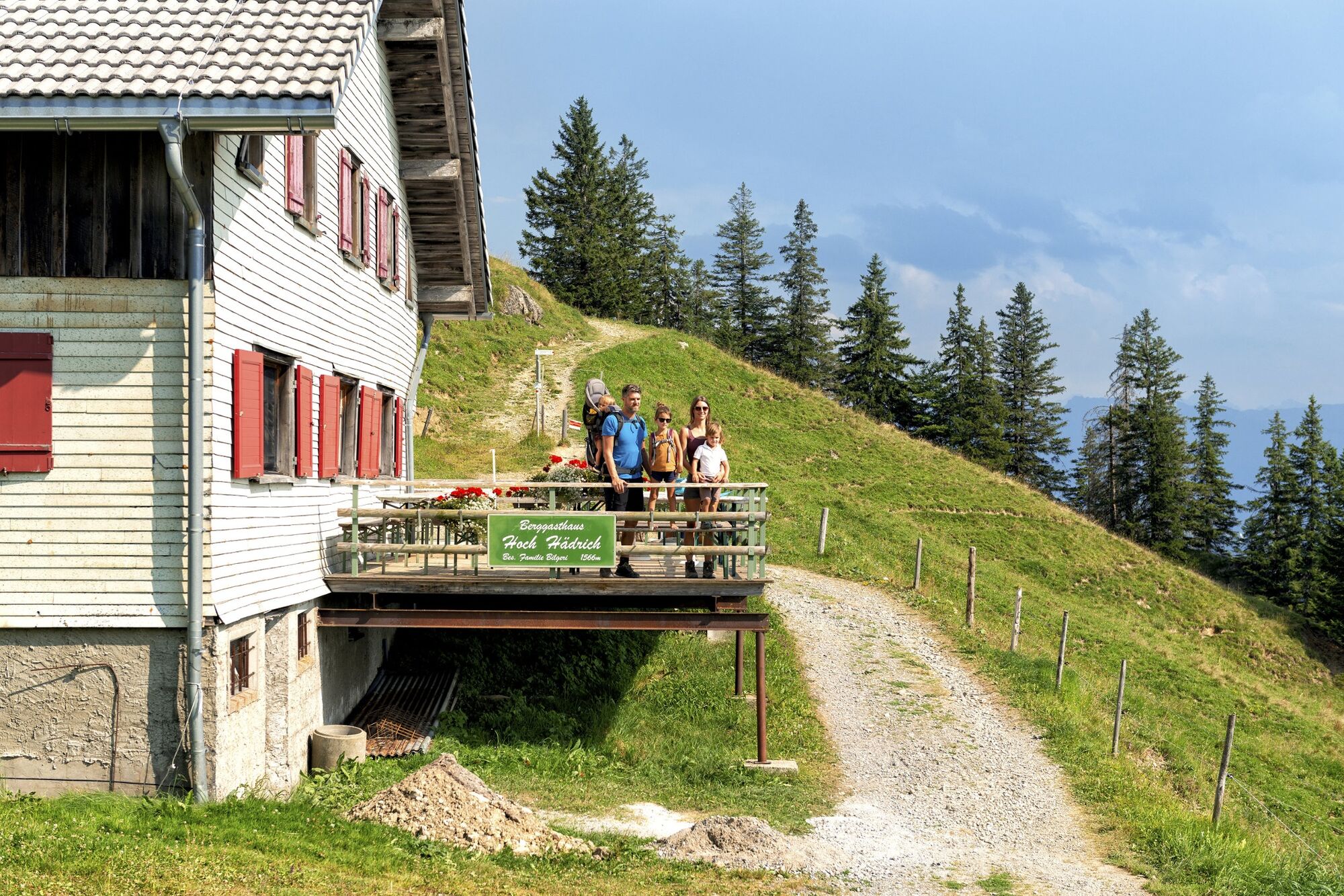
Hittisau | along the Nagelfluh rock face on Hochhäderich

Wędrówka

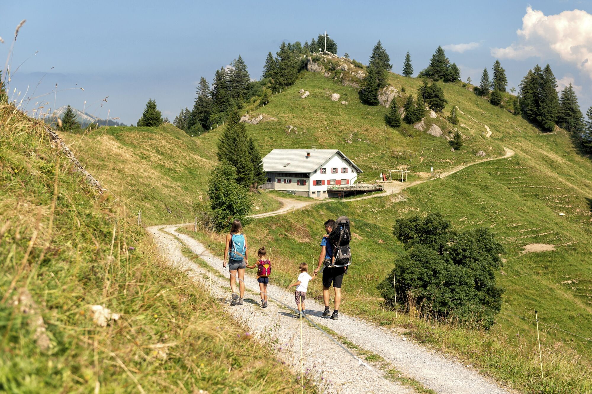
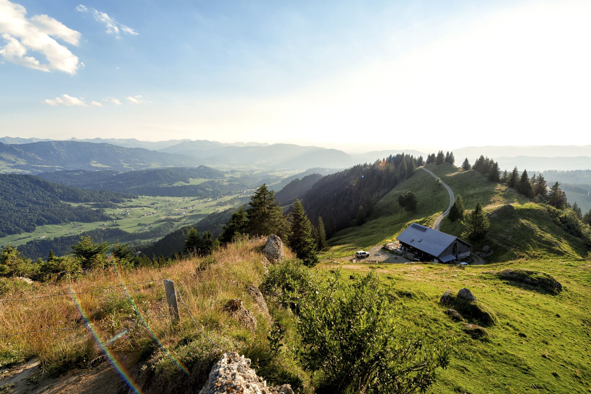
© Bregenzerwald Tourismus - Johannes Fink

© Bregenzerwald Tourismus - Johannes Fink

© Bregenzerwald Tourismus - Johannes Fink

© Bregenzerwald Tourismus - Johannes Fink

© Bregenzerwald Tourismus - Elisabeth Schneider

© Alpe Loch - Magdalena Fuchs

© Alpe Loch - Magdalena Fuchs

- Krótki opis
-
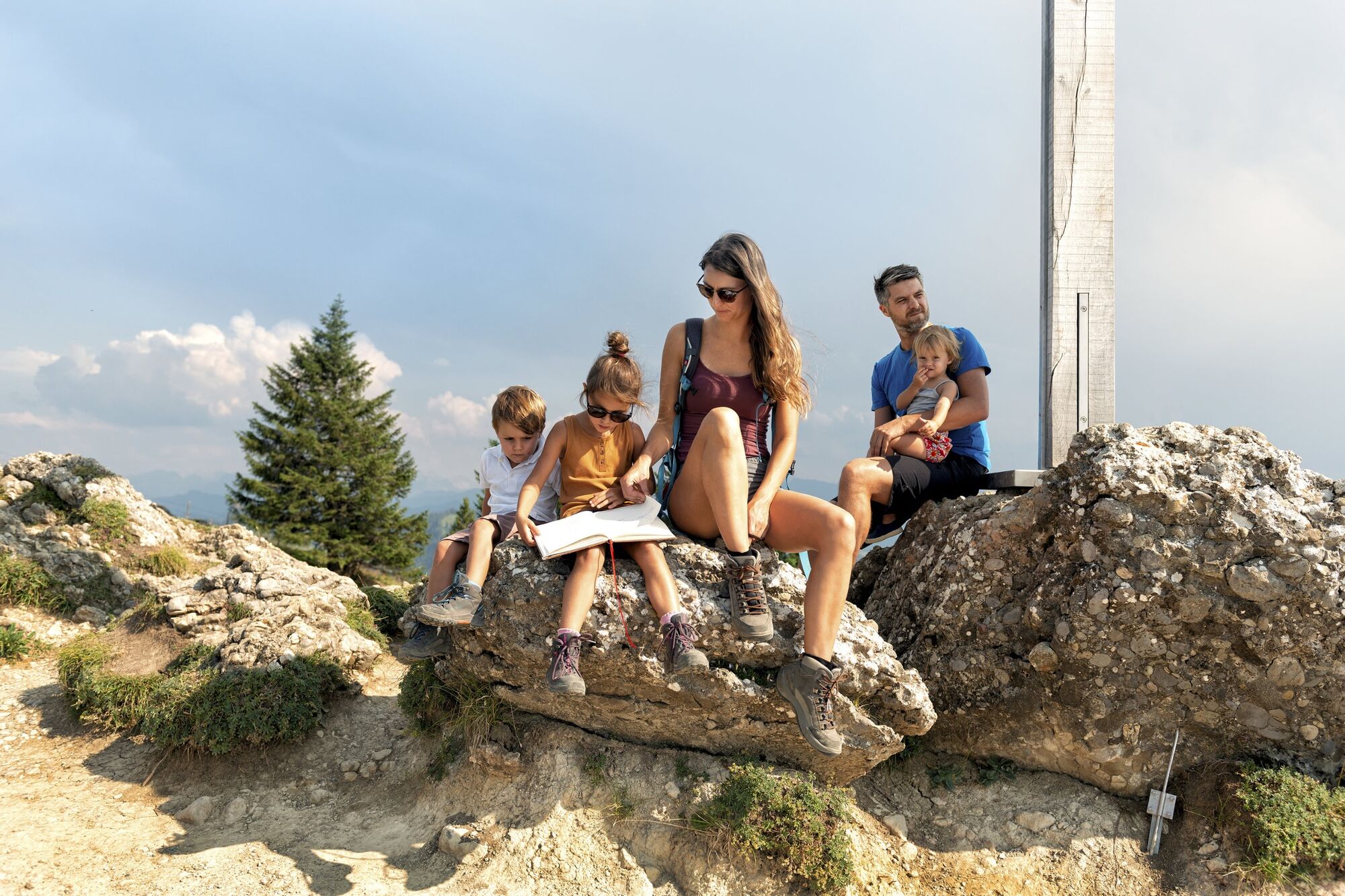
This mountain tour takes you to the most significant summit of the lower Bregenzerwald, the Hochhäderich.
- Stopień trudności
-
średni
- Ocena
-
- Trasa
-
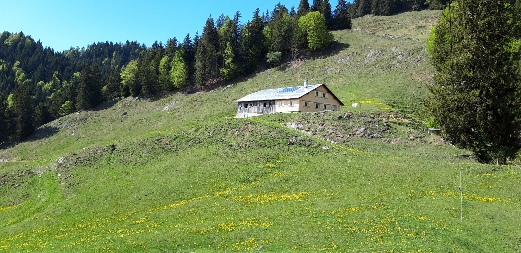
Alpenrose0,0 kmBerggaststätte Hoch Häderich4,2 kmHochhäderich (1.565 m)4,5 kmAlpenrose8,9 km
- Najlepszy sezon
-
stylutmarkwimajczelipsiewrzpaźlisgru
- Najwyższy punkt
- 1.557 m
- Miejsce docelowe
-
Hittisau-Reute
- Profil wysokości
-


- Autor
-
Wycieczka Hittisau | along the Nagelfluh rock face on Hochhäderich jest używany przez outdooractive.com pod warunkiem.
GPS Downloads


Informacje ogólne
Przystanek odświeżania
Obiecujący
Więcej wycieczek w regionach
-
Allgäu
2367
-
Bregenzerwald
2296
-
Hittisau
704