Dane wycieczki
8,69km
1.588
- 2.032m
441hm
432hm
02:11h

- Krótki opis
-
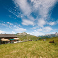
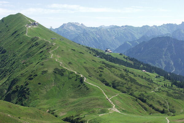
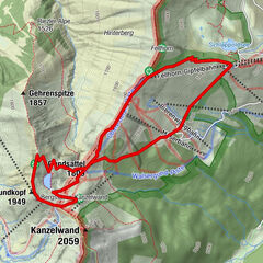
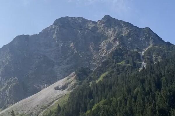
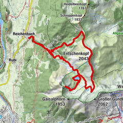
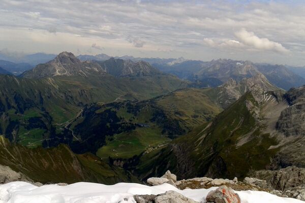
This tour is a nice walk on well-developed hiking trails over 2.000 m, past the house mountains of Warth, the Wartherhorn (2.256 m), Kleinhörnle, Karhorn (2.416 m) with the via ferrata and the Auenfelderhorn (2.292 m). The start of the tour is at the hotel Jägeralpe. From there you hike upwards towards the Hochalphütte, which invites you to a stop. The path continues uphill to Saloberkopf. Enjoy the view and breathe in the mountain air, because here you have reached the highest point of your hike. Now it goes down to the Salobersattel and past the Kalbelessee to the Hochtannbergpass. From the Hochtannbergpass the path leads you past the Hotel Adler back to the bus stop Jägeralpe.
- Stopień trudności
-
średni
- Ocena
-
- Trasa
-
Jägeralpe0,1 kmSennkuchl0,1 kmHochkrumbach0,3 kmHochalpbahn2,4 kmHochalphütte2,8 kmSaloberkopf3,6 kmHochalpbahn3,7 kmSalober-Jet3,7 kmSonnencruiser4,2 kmS16,6 kmSB-Restaurant Salober6,7 kmKörblliftle6,8 kmAlpekörb6,8 kmHochkrumbach8,4 km
- Najlepszy sezon
-
stylutmarkwimajczelipsiewrzpaźlisgru
- Najwyższy punkt
- 2.032 m
- Miejsce docelowe
-
Jägeralpe
- Profil wysokości
-
- Autor
-
Wycieczka Round trail Hochkrumbach jest używany przez outdooractive.com pod warunkiem.
GPS Downloads
Informacje ogólne
Przystanek odświeżania
Obiecujący
Więcej wycieczek w regionach


