

© best mountain artist - Thorsten Günthert

© best mountain artist - Thorsten Günthert

© best mountain artist - Thorsten Günthert

© Vorarlberg Tourismus GmbH

- Krótki opis
-
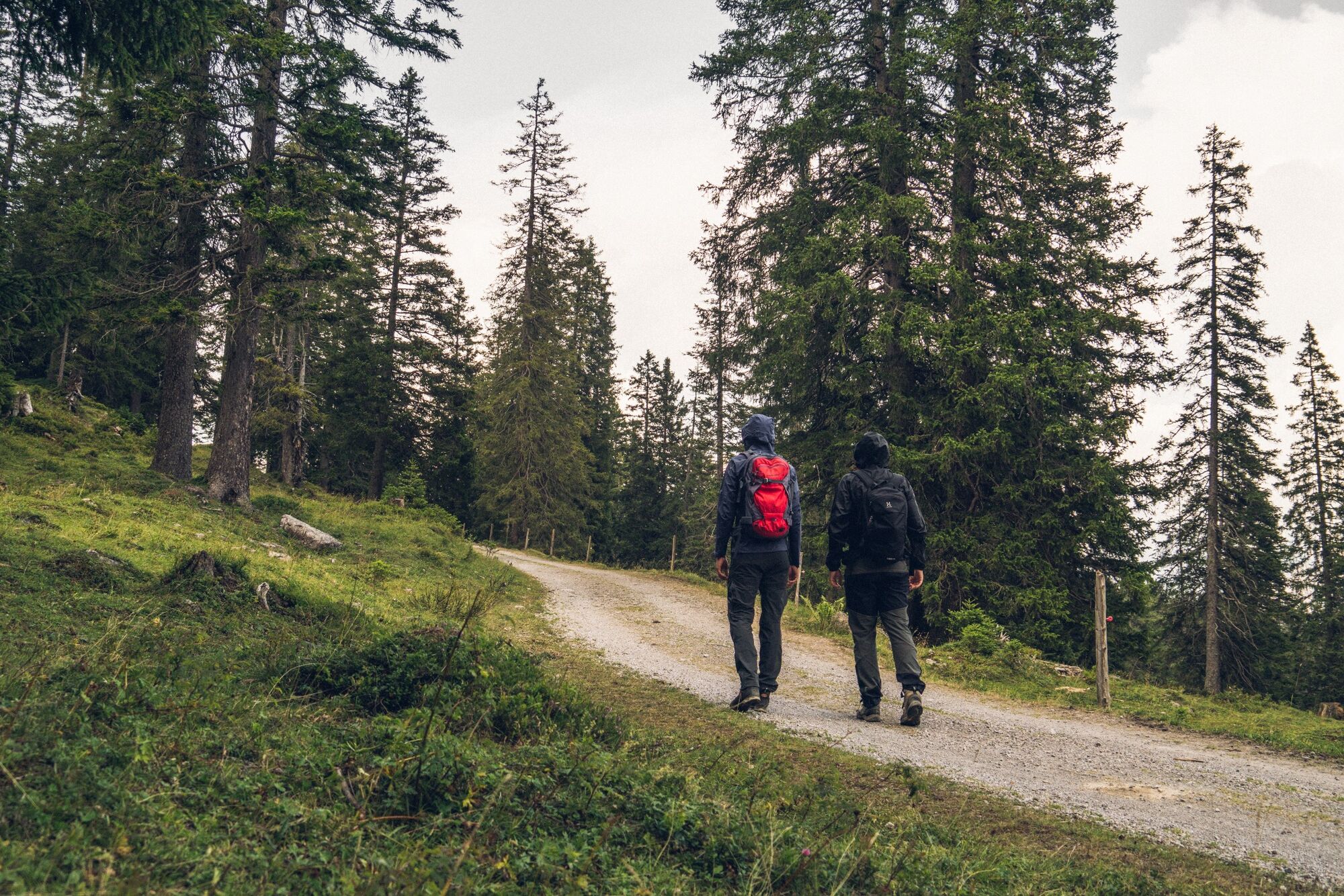
Below the Alpilakopf, the Schillerkopf and the Mondspitze, the path leads to the Furkla Alpe and offers a fabulous view of the mountains of the Rätikon.
- Stopień trudności
-
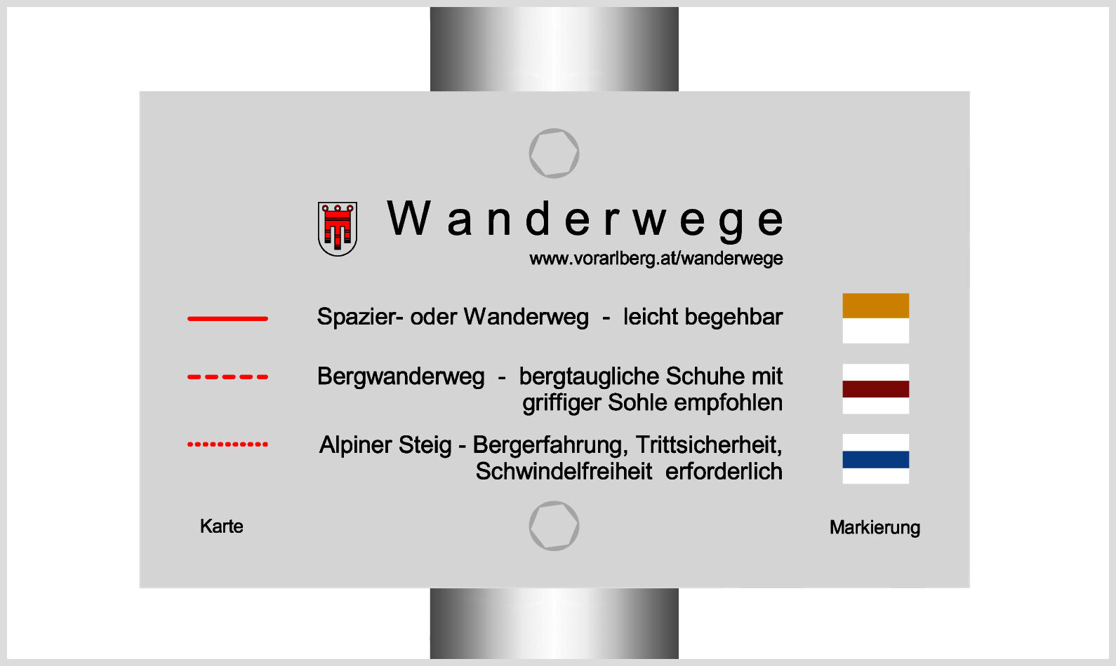
łatwe
- Ocena
-
- Trasa
-
Parpfienzsattel (1.675 m)1,1 kmAussichtspunkt Glinzgieck5,9 kmParpfienzsattel (1.675 m)9,5 km
- Najlepszy sezon
-
stylutmarkwimajczelipsiewrzpaźlisgru
- Najwyższy punkt
- 1.673 m
- Miejsce docelowe
-
Panorama cable car mountain station, Bürserberg
- Profil wysokości
-


- Autor
-
Wycieczka Furkla-Höhenweg l Bürserberg jest używany przez outdooractive.com pod warunkiem.
GPS Downloads


Informacje ogólne
Przystanek odświeżania
Obiecujący
Więcej wycieczek w regionach
-
Heidiland
2200
-
Brandnertal
1567
-
Brand
431


