© Bregenzerwald Tourismus - Alex Kaiser

© Bregenzerwald Tourismus - Alex Kaiser

© Bregenzerwald Tourismus - Alex Kaiser

© Bregenzerwald Tourismus - Alex Kaiser

© Bregenzerwald Tourismus - Alex Kaiser

© Bregenzerwald Tourismus - Johannes Fink

© Hittisau Tourismus - Veronika Piazza

© Bregenzerwald Tourismus - Nadine Lerho

© Bregenzerwald Tourismus - Alex Kaiser

© Community - Elisabeth Sohm

- Krótki opis
-
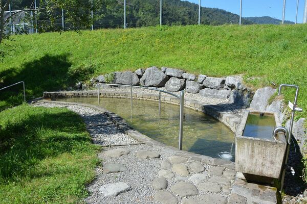
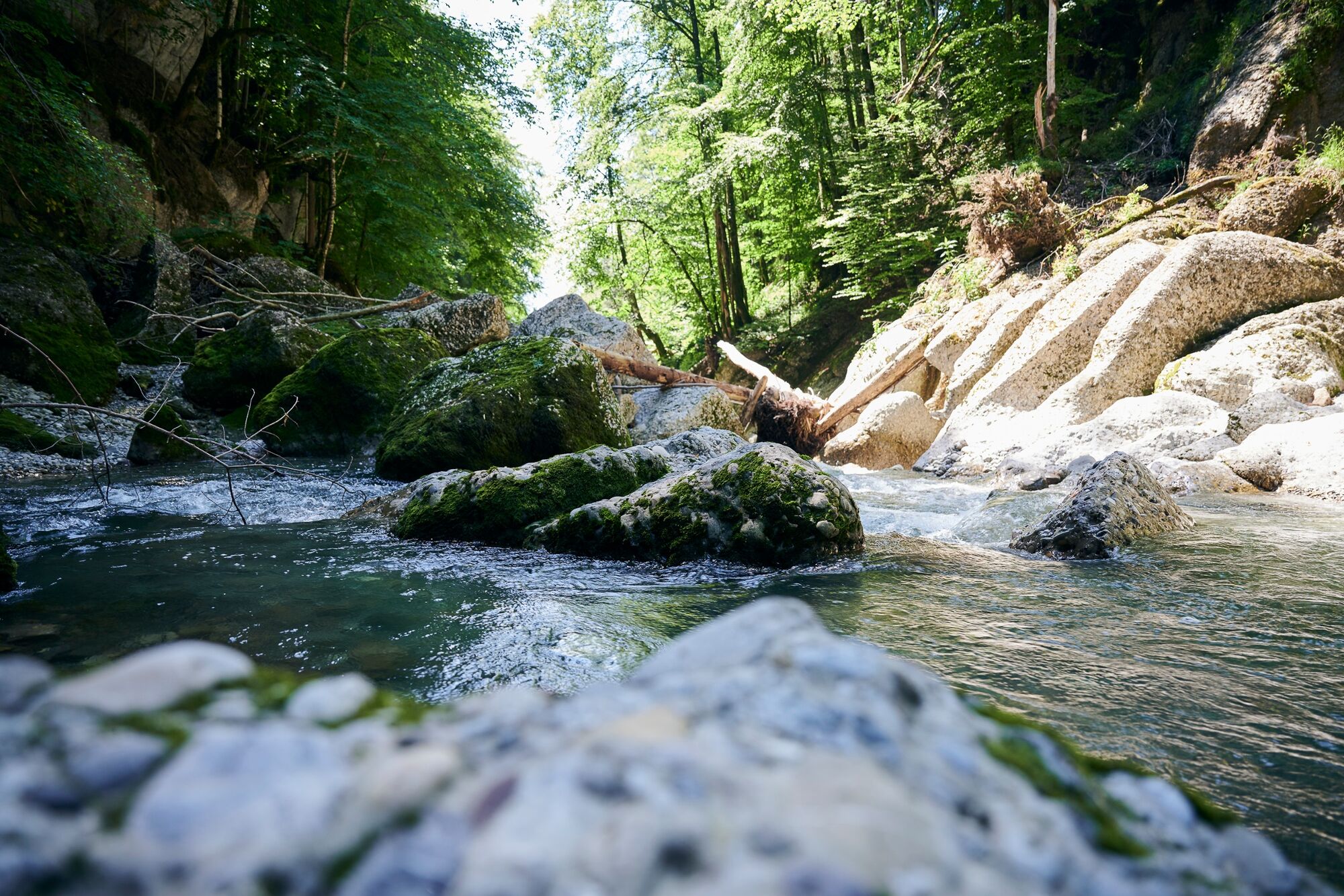
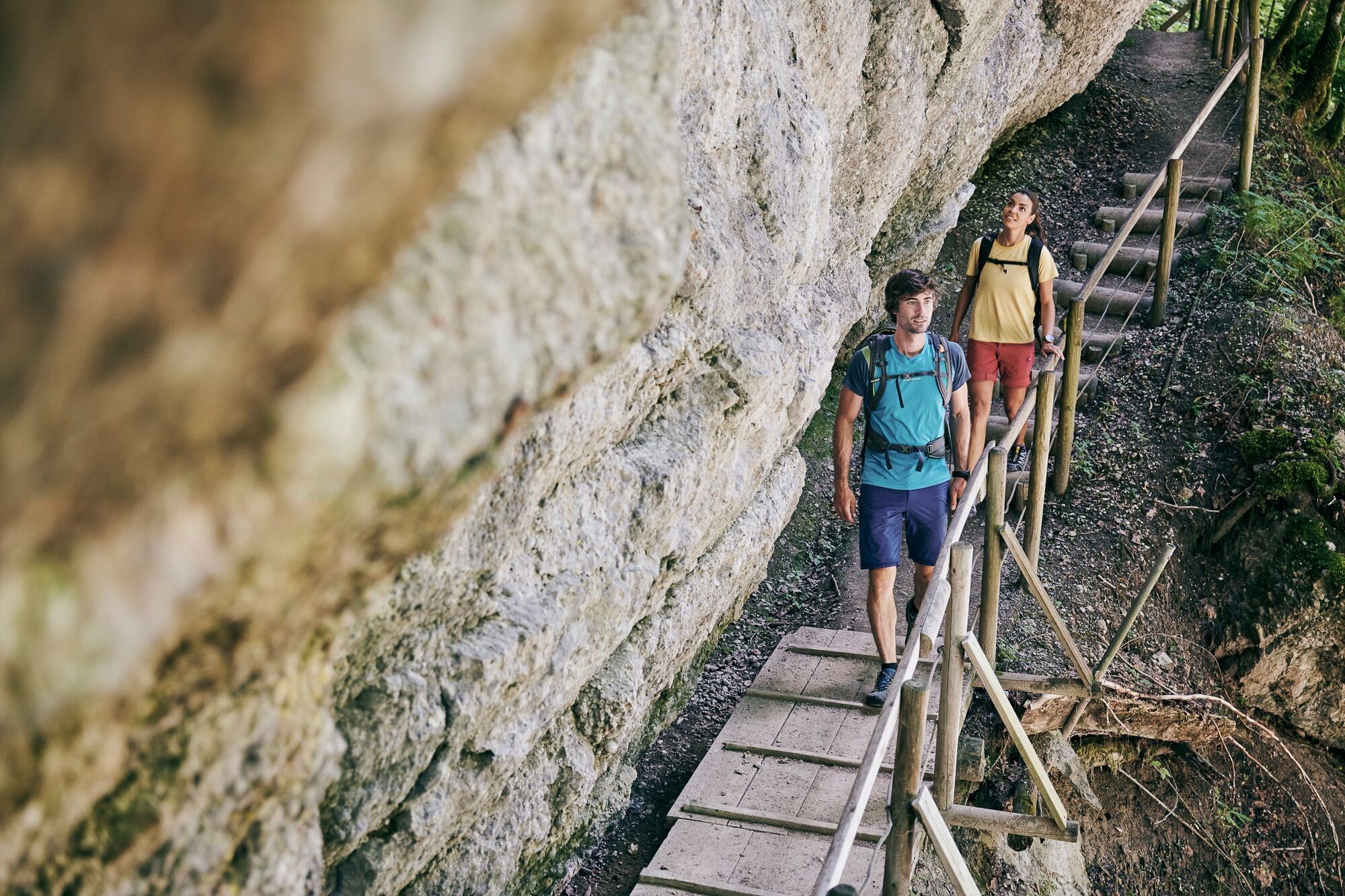
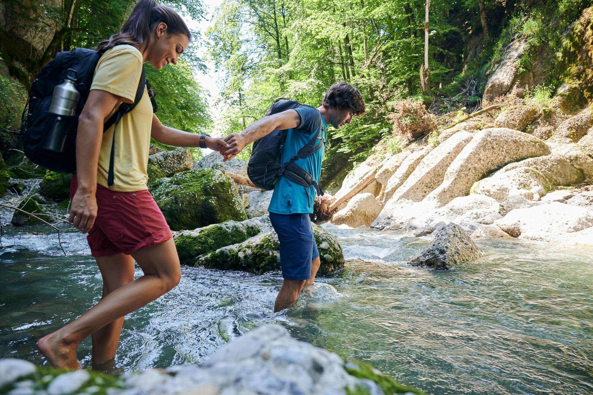
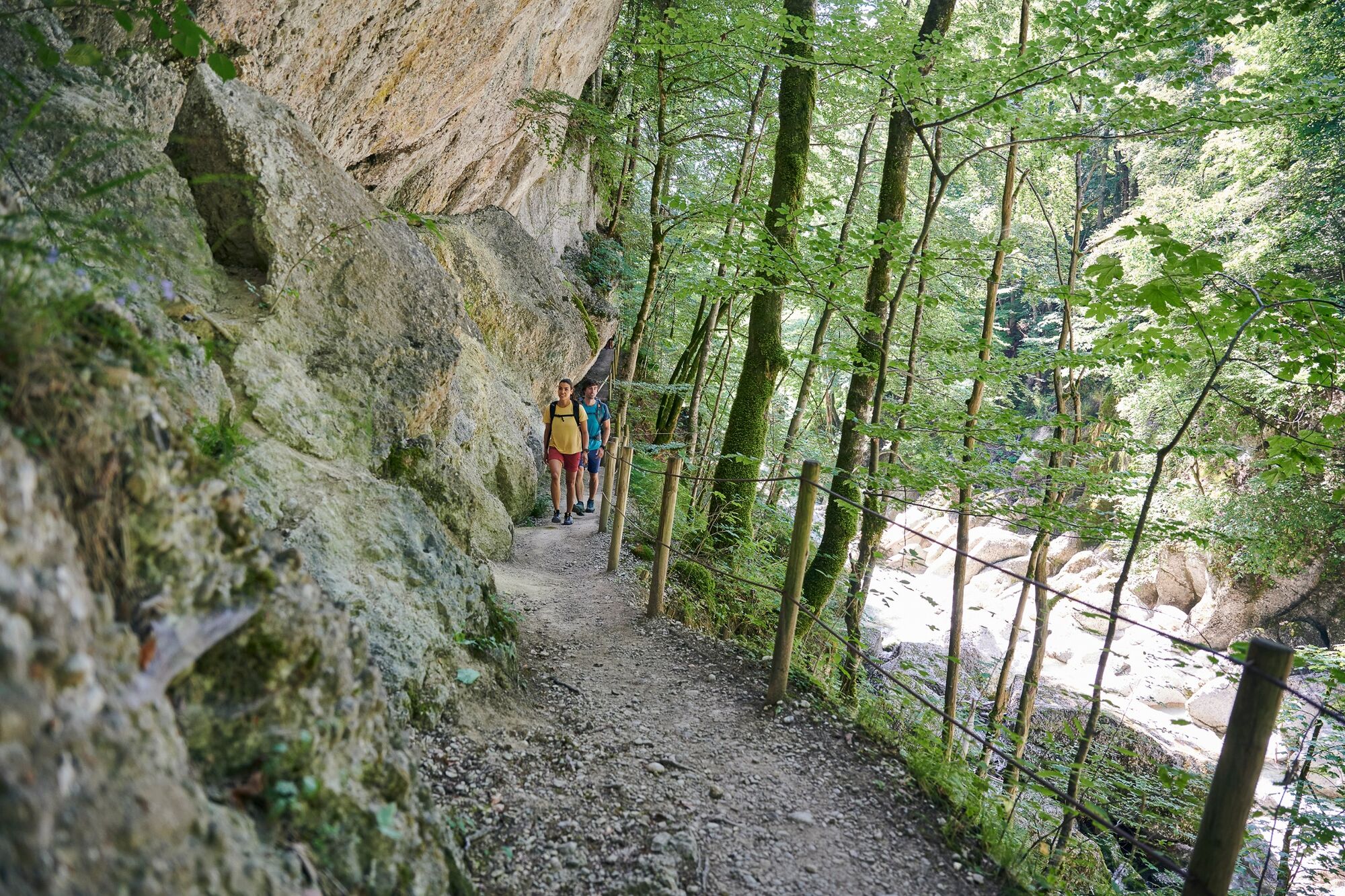
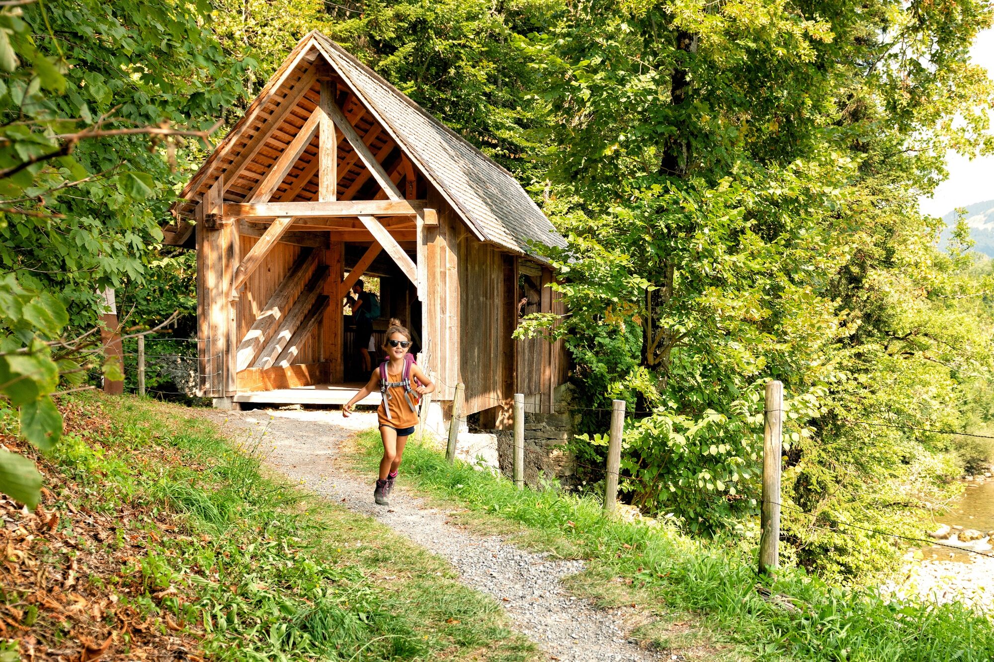
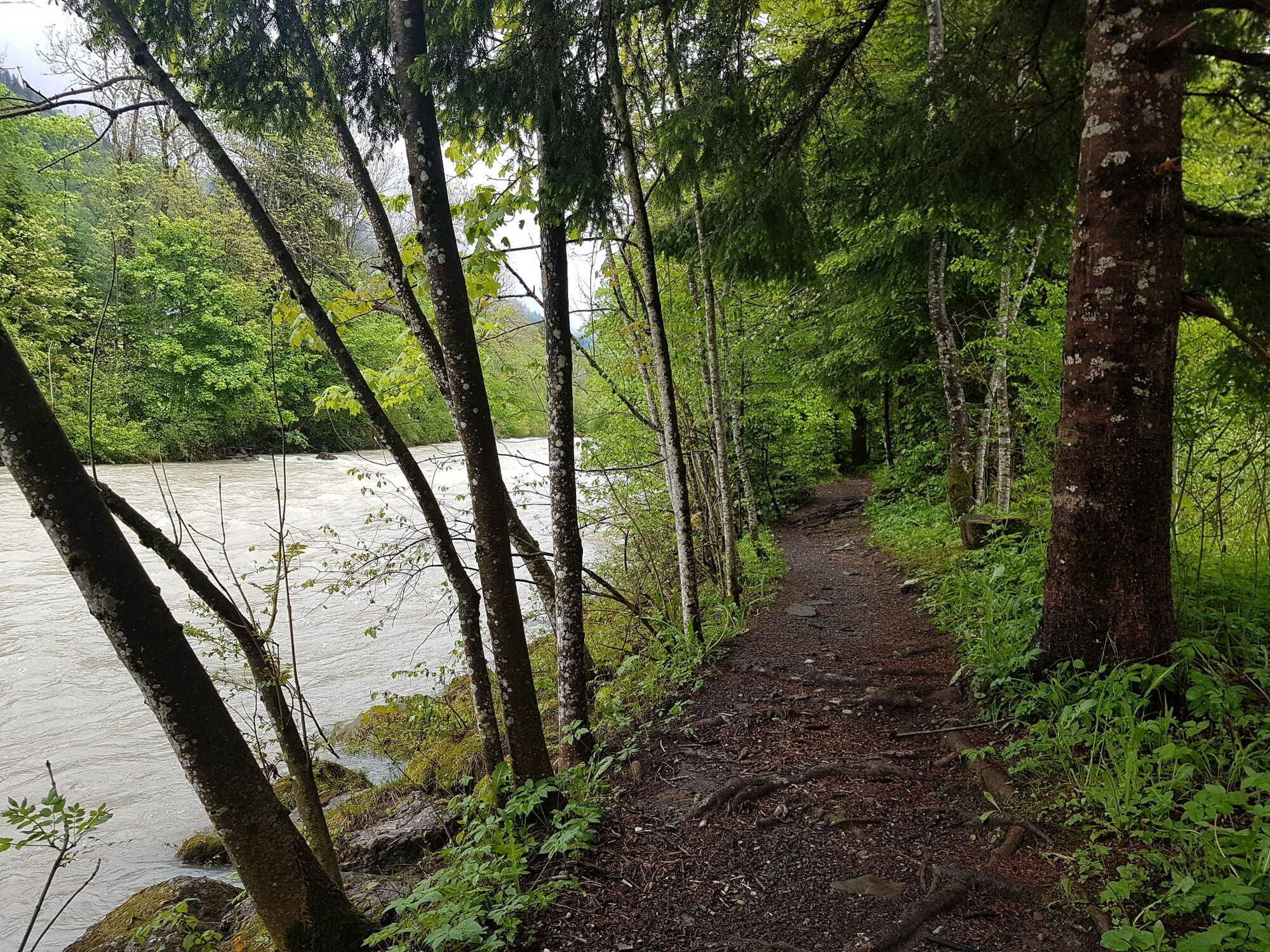
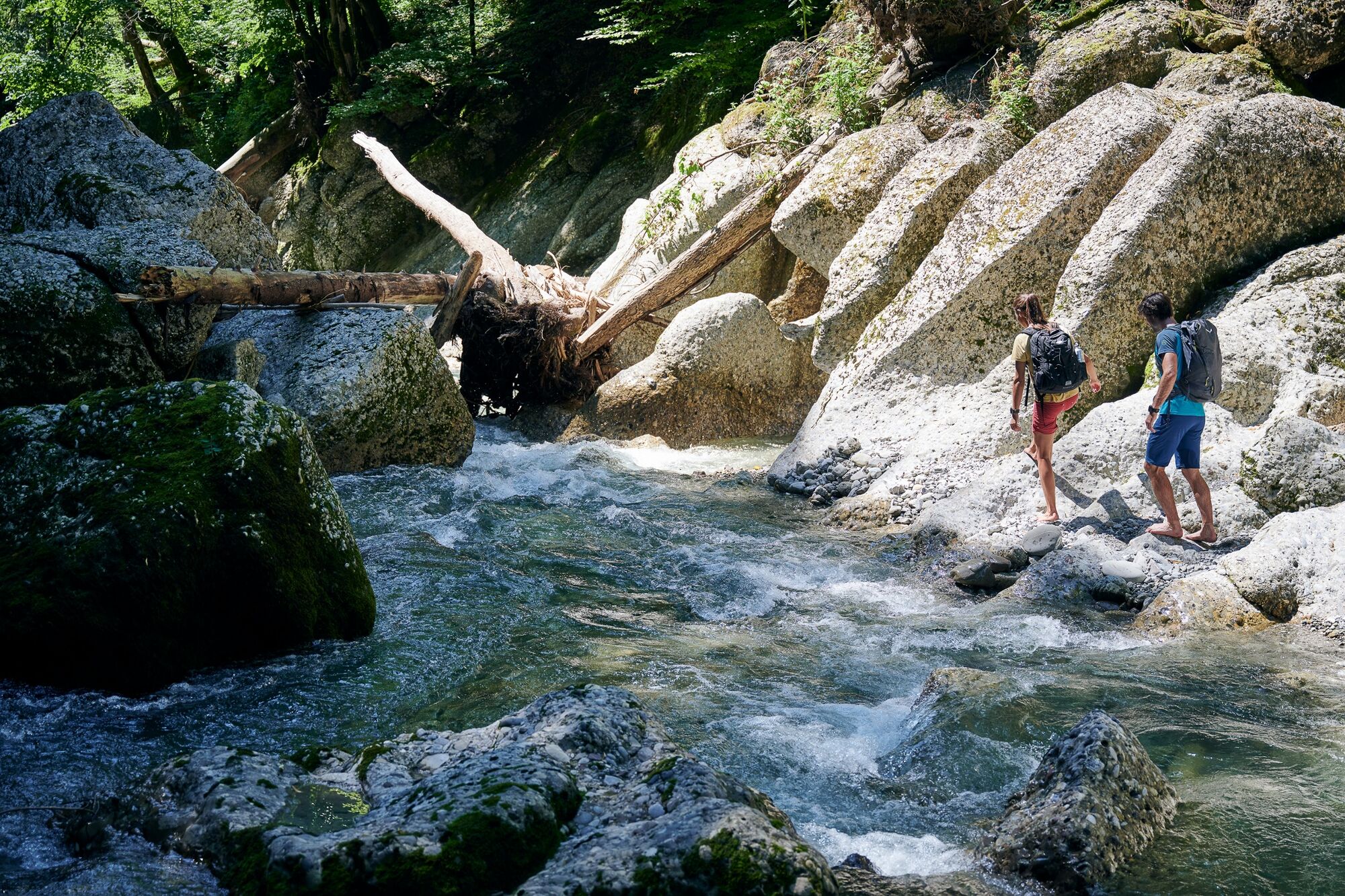
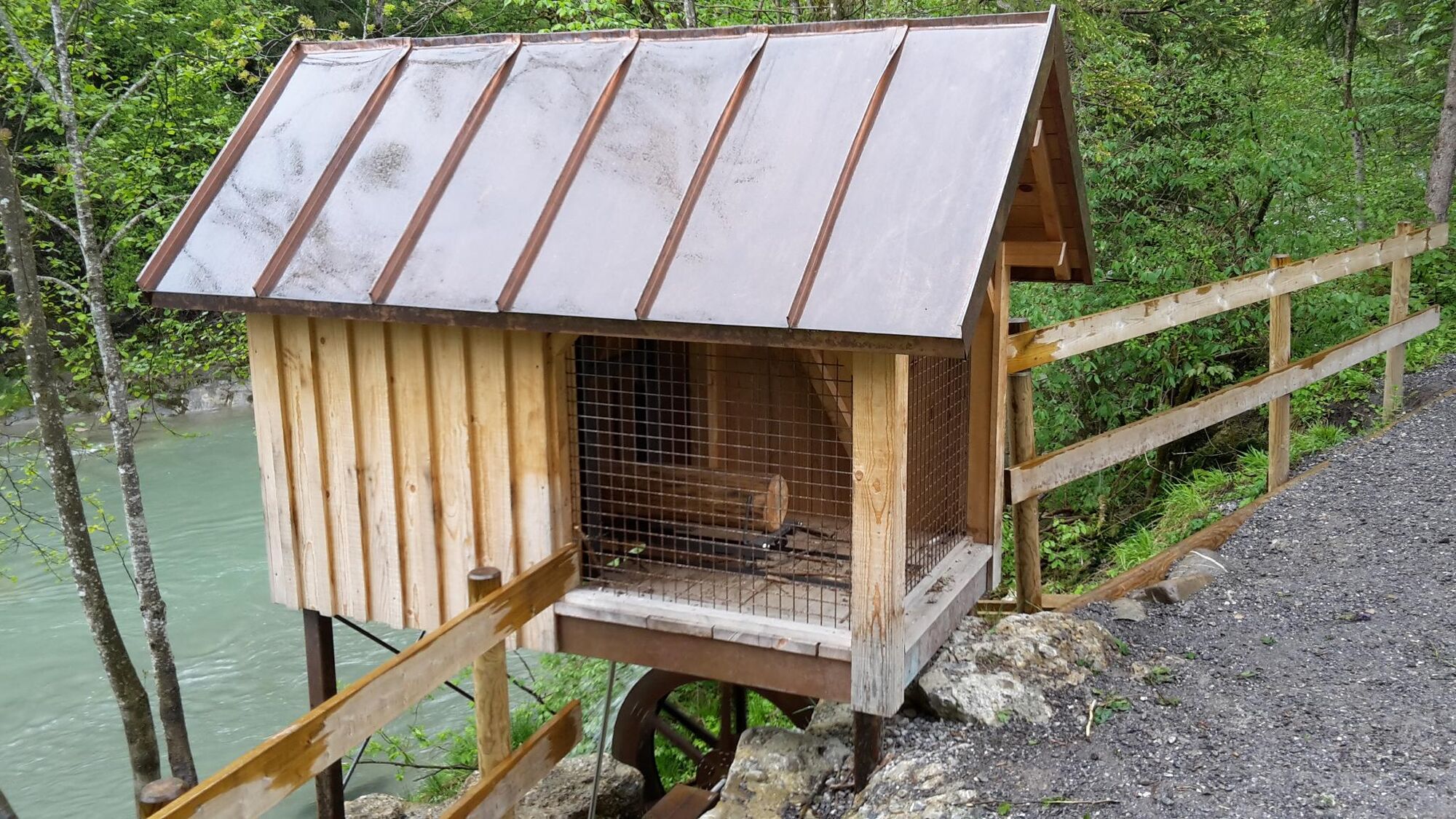
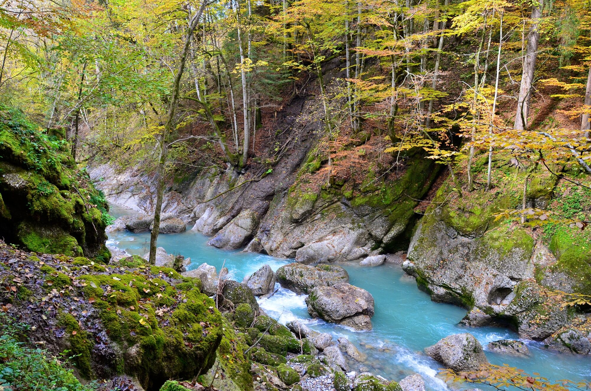
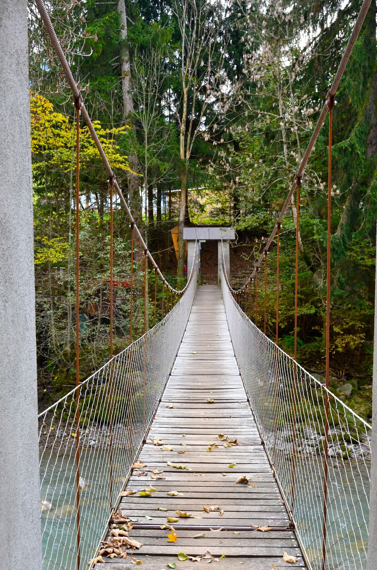
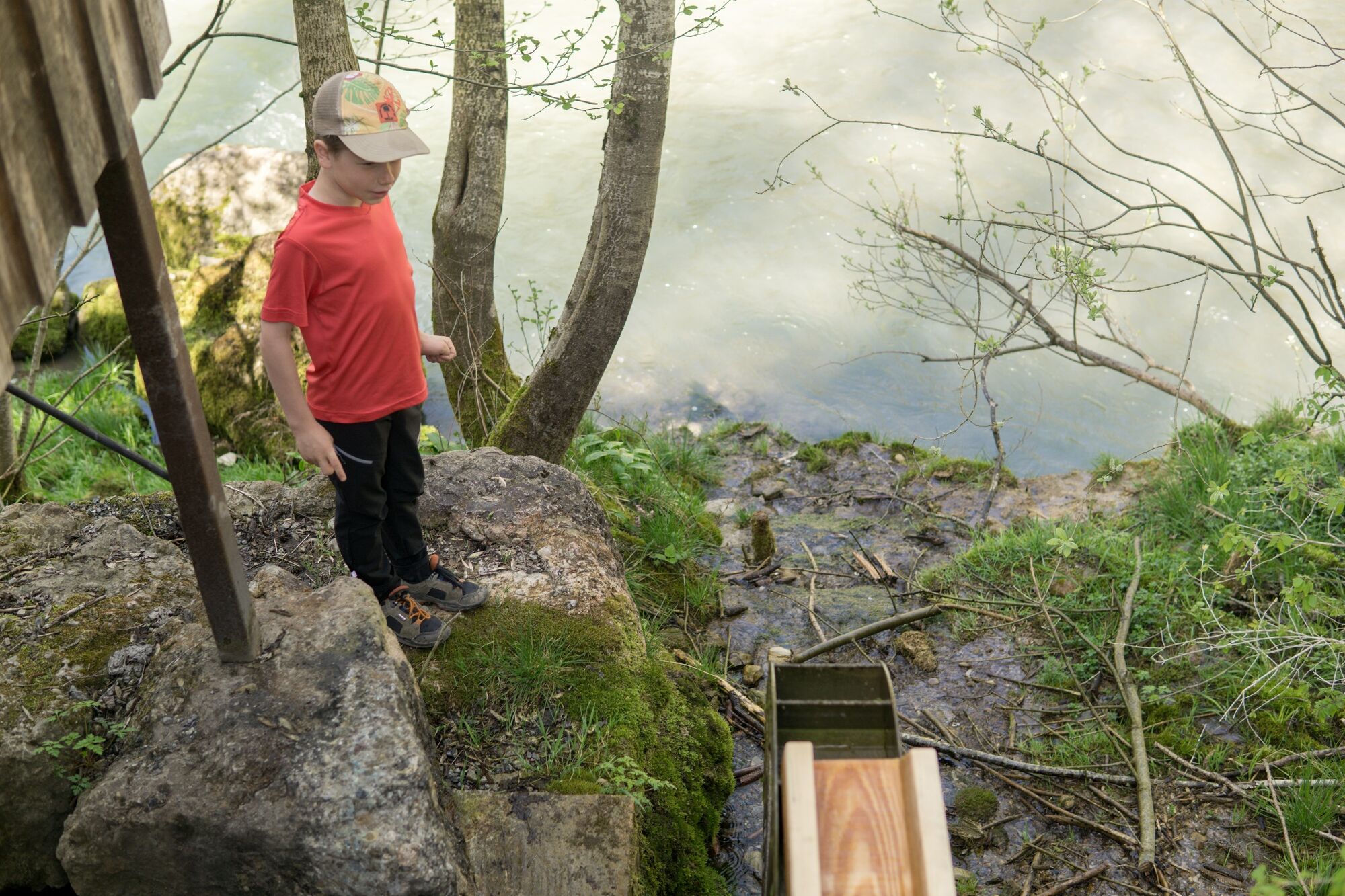
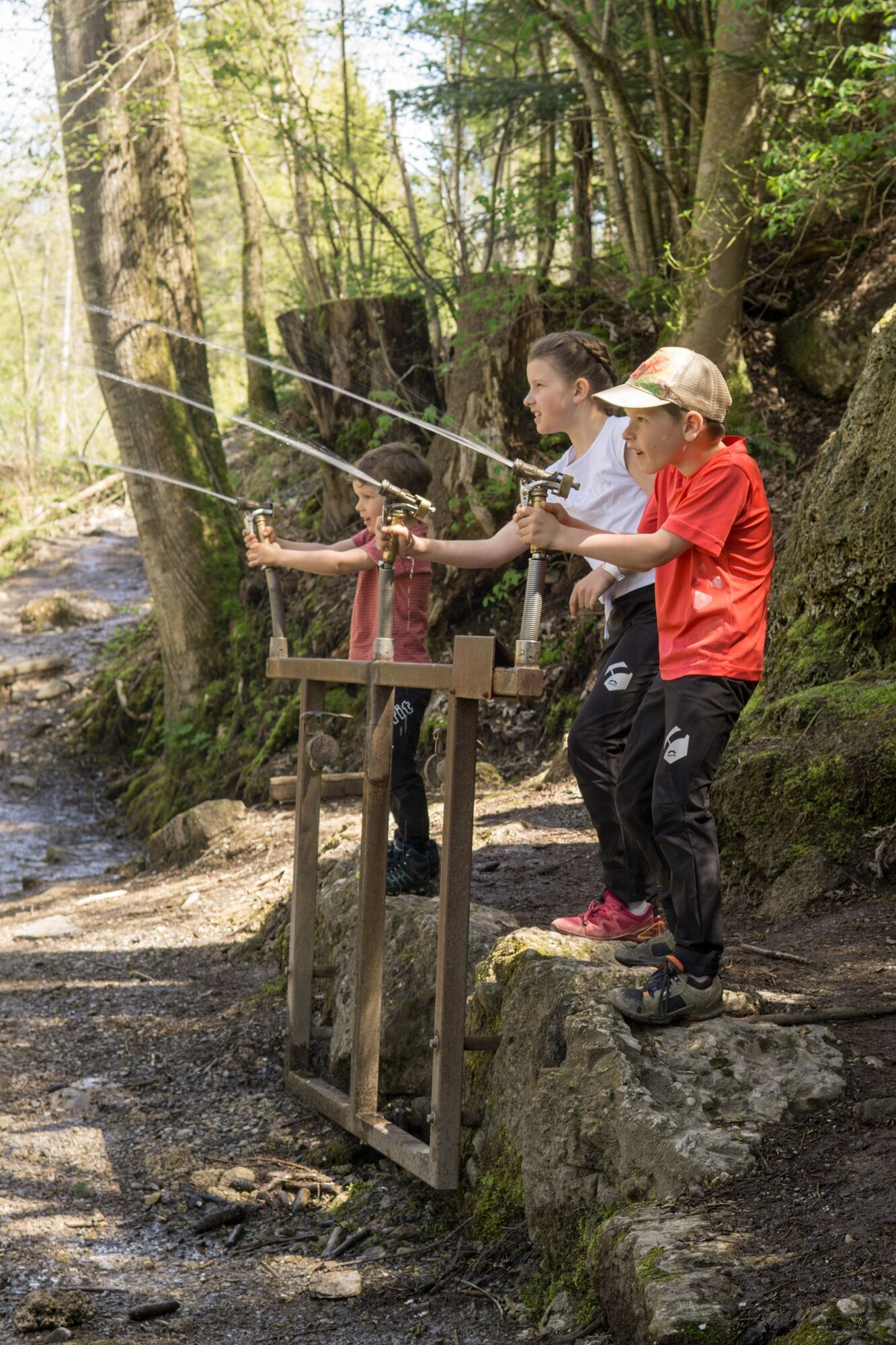
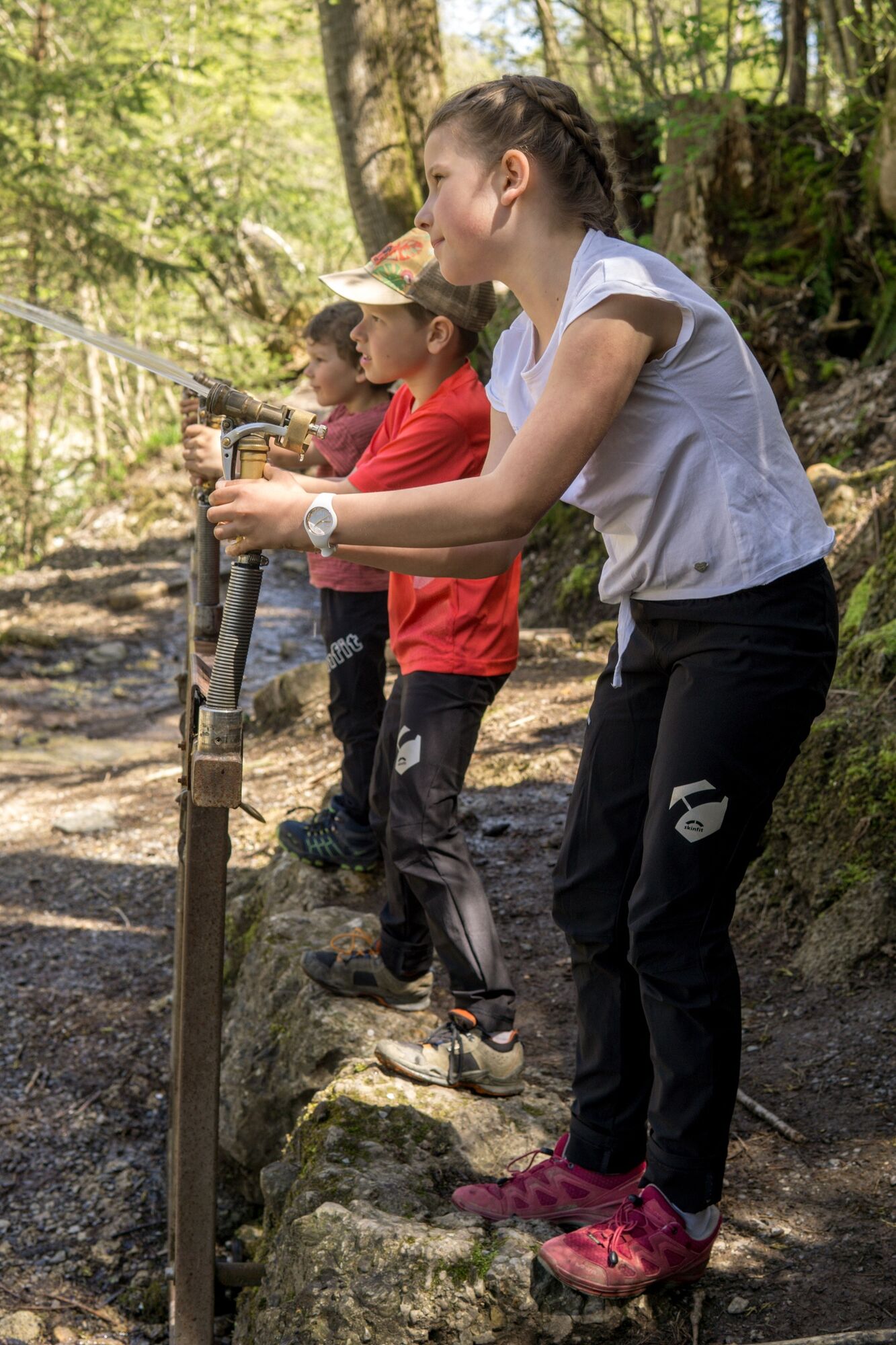
It’s pleasantly cool on this hiking trail. It leads for the most part along the water and through a light-flooded forest.
- Stopień trudności
-
łatwe
- Ocena
-
- Trasa
-
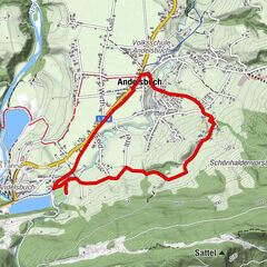
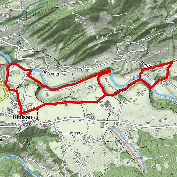
HittisauPfarrkirche Heilige Drei KönigeGasthof Hirschen0,0 kmGasthof Krone0,0 kmGasthof Goldener Adler0,1 kmAlpenrose4,2 kmSonne Gasthaus6,1 kmGasthof Goldener Adler6,7 kmGasthof Hirschen6,7 kmGasthof Krone6,8 kmHittisau6,8 kmPfarrkirche Heilige Drei Könige6,8 km
- Najlepszy sezon
-
stylutmarkwimajczelipsiewrzpaźlisgru
- Najwyższy punkt
- 831 m
- Miejsce docelowe
-
Hittisau Dorfbrunnen
- Profil wysokości
-


- Autor
-
Wycieczka Hittisau | water hiking trail jest używany przez outdooractive.com pod warunkiem.
GPS Downloads


Informacje ogólne
Przystanek odświeżania
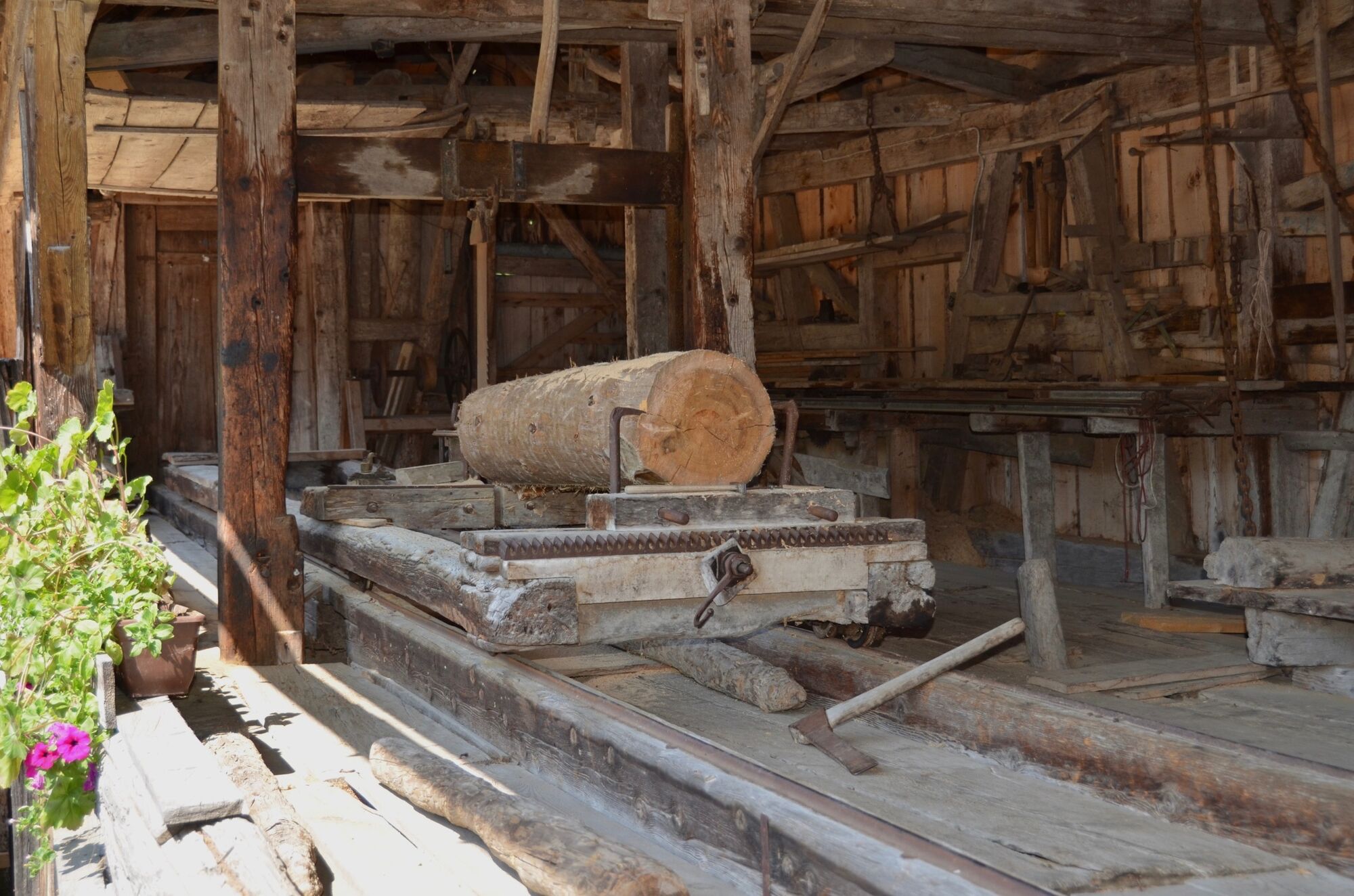
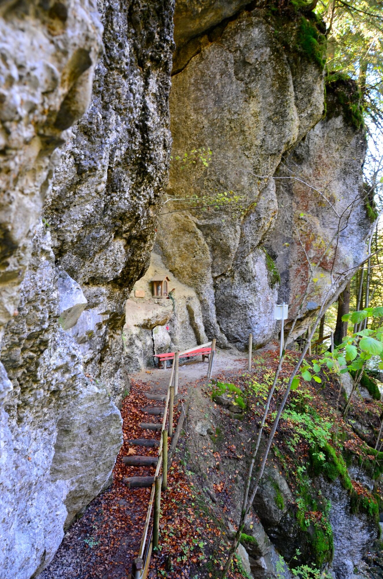
Kulturalny/Historyczny
Więcej wycieczek w regionach
-
Allgäu
2362
-
Bregenzerwald
2296
-
Hittisau
703