© Alpenregion Bludenz Tourismus GmbH - Frederick Sams

© Alpenregion Bludenz Tourismus GmbH - Frederick Sams

© Alpenregion Bludenz Tourismus GmbH - Frederick Sams

© Alpenregion Bludenz Tourismus GmbH - Frederick Sams

© Vorarlberg Tourismus GmbH
- Krótki opis
-
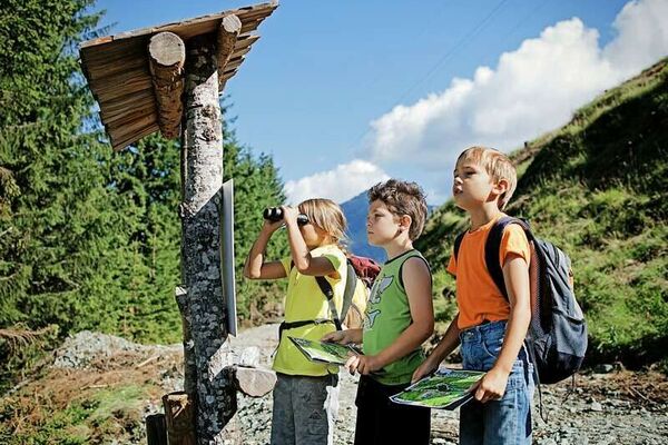
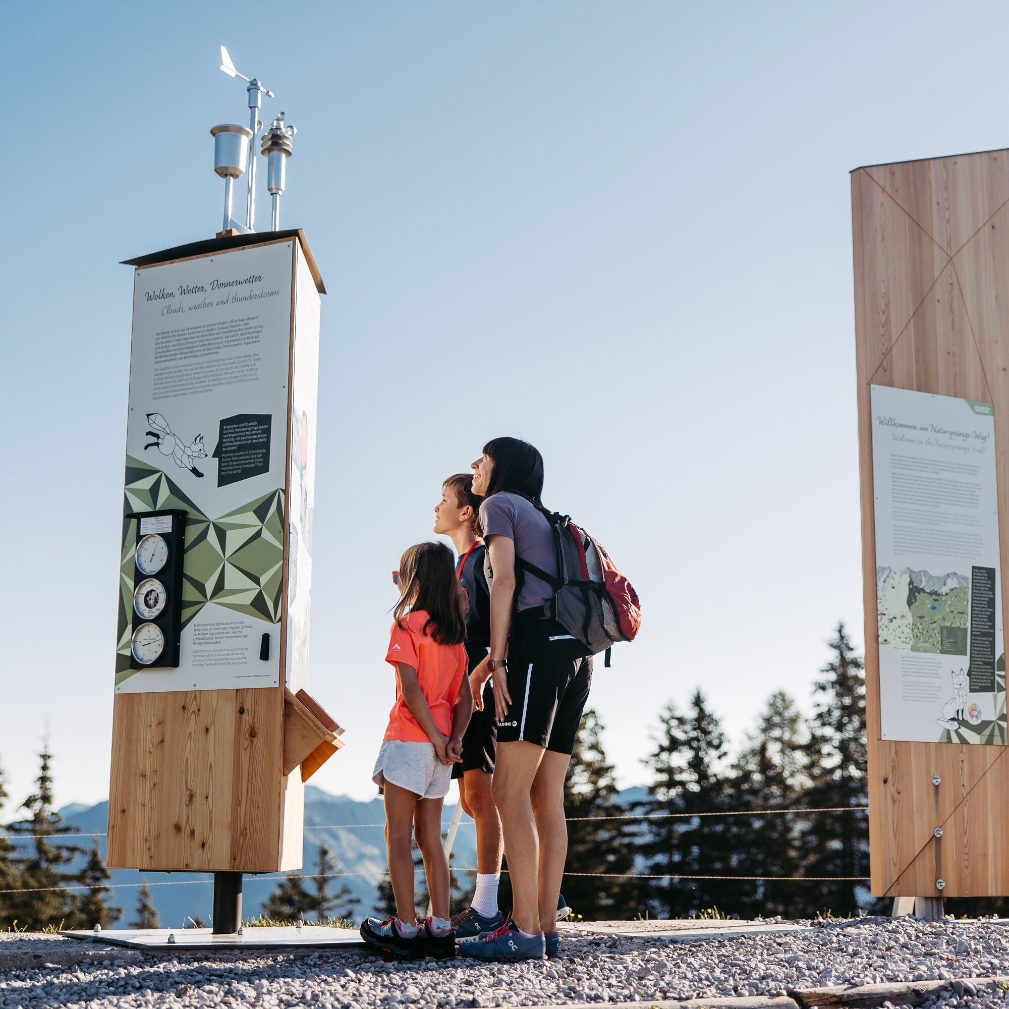
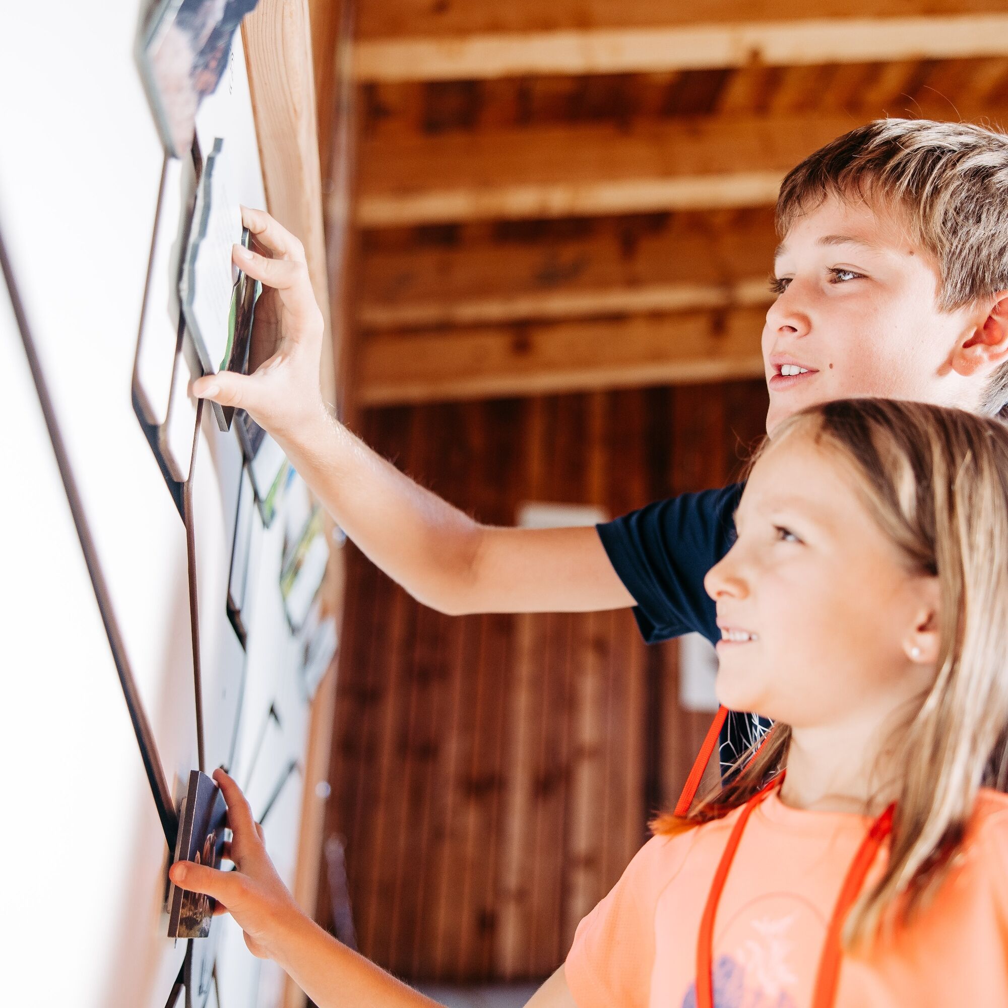
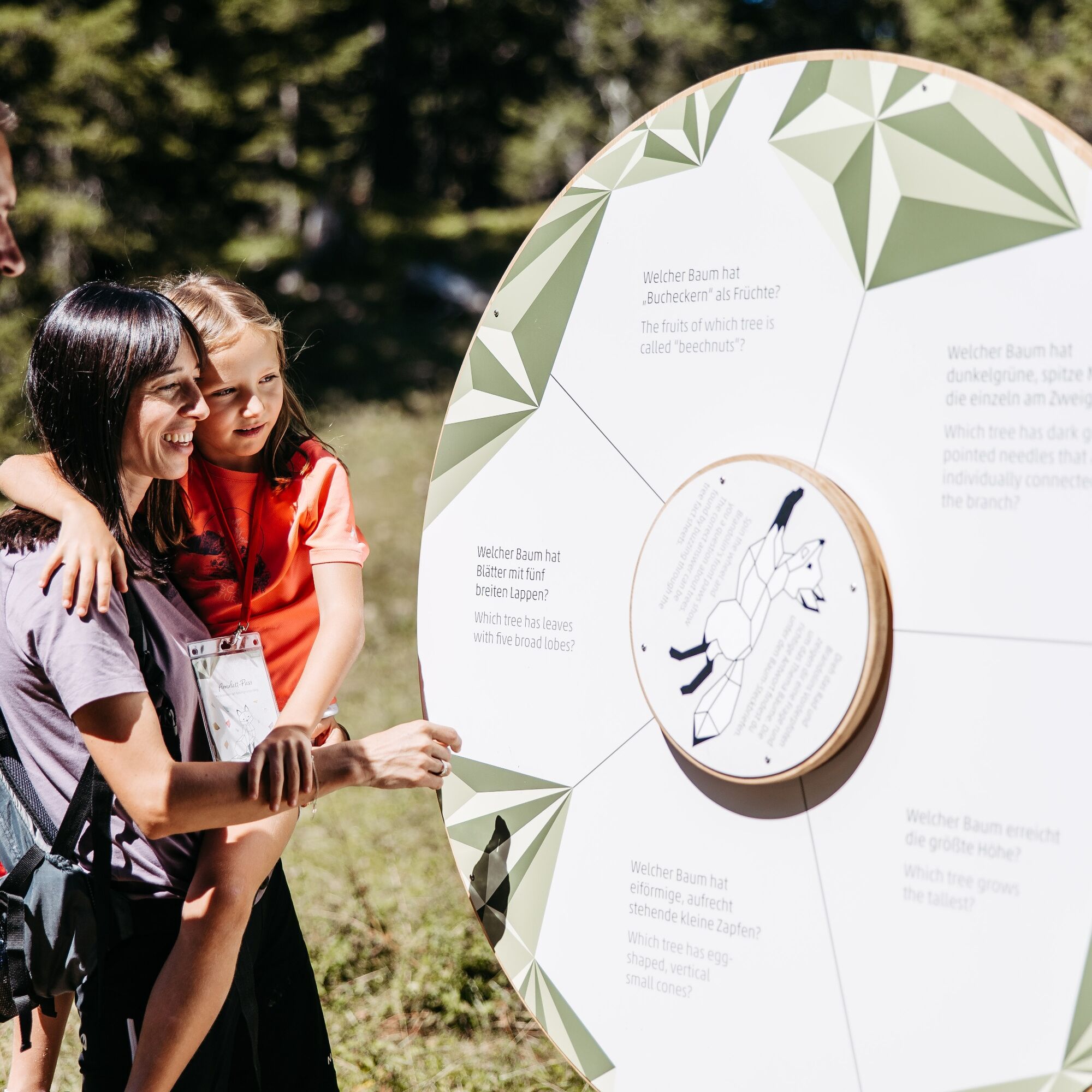
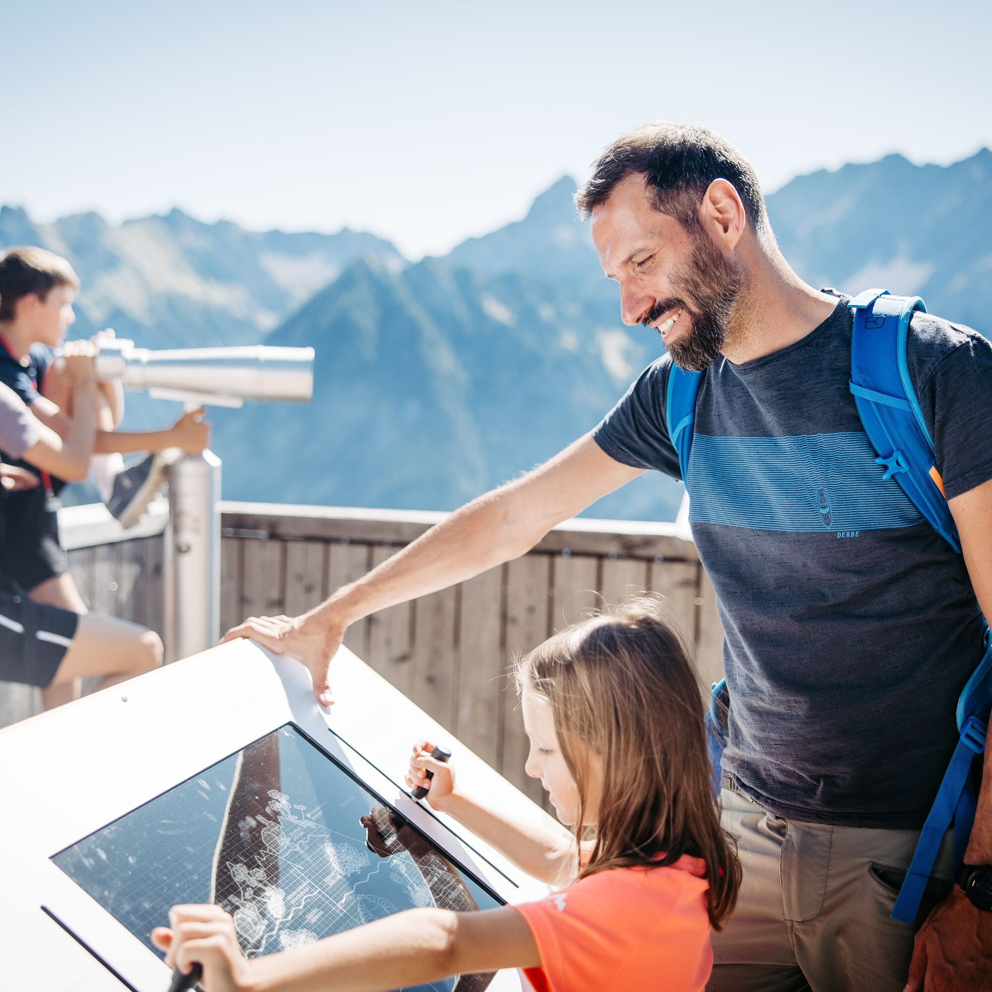
Learn about the nature of the Brandner Valley at eleven interactive stations along the Natursprünge-Weg! Fun and games for young and old are guaranteed along this trail in summer!
- Stopień trudności
-
łatwe
- Ocena
-
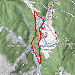
- Trasa
-
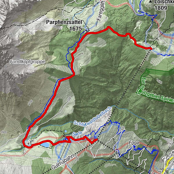
FröödParpfienzsattel (1.675 m)1,1 kmGulmabahn4,6 kmDorfbahn - Bergstation4,7 kmPanoramabahn4,7 km
- Najlepszy sezon
-
stylutmarkwimajczelipsiewrzpaźlisgru
- Najwyższy punkt
- 1.673 m
- Miejsce docelowe
-
Panoramabahn mountain station or Dorfbahn mountain station, Brand.
- Profil wysokości
-


- Autor
-
Wycieczka Natursprünge-Weg | Brandnertal jest używany przez outdooractive.com pod warunkiem.
GPS Downloads


Informacje ogólne
Przystanek odświeżania
Obiecujący
Więcej wycieczek w regionach
-
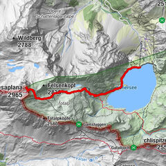
Heidiland
2201
-
Brandnertal
1568
-
Brand
431