© Bregenzerwald Tourismus - Cornelia Kriegner

© Bregenzerwald Tourismus - Cornelia Kriegner

© Bregenzerwald Tourismus - Cornelia Kriegner

© Bregenzerwald Tourismus - Cornelia Kriegner

© Bregenzerwald Tourismus - Cornelia Kriegner

© Bregenzerwald Tourismus - Cornelia Kriegner

- Krótki opis
-
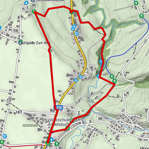
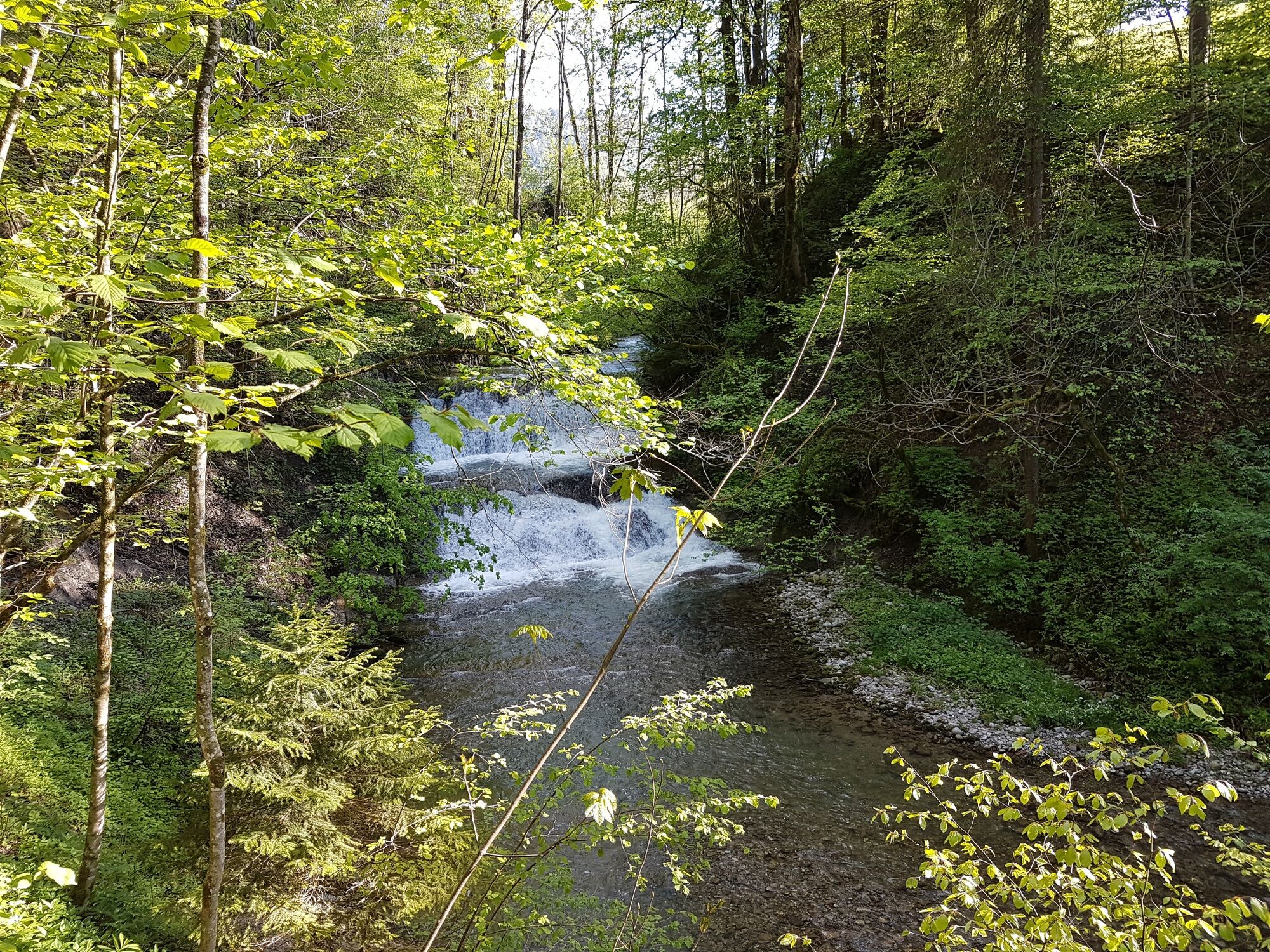
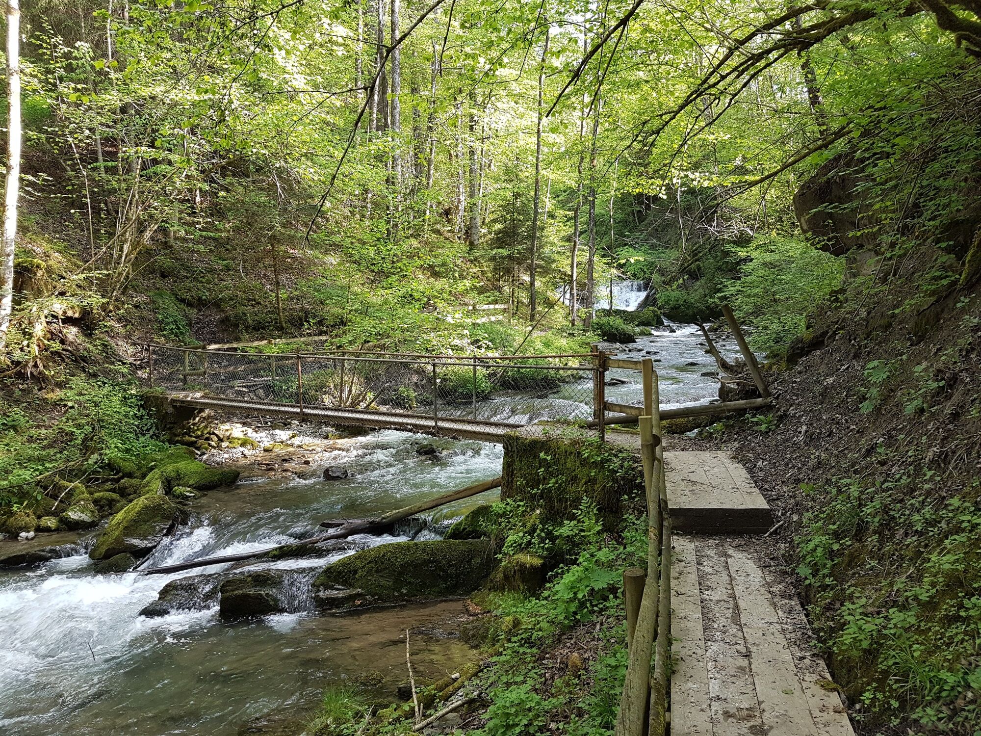
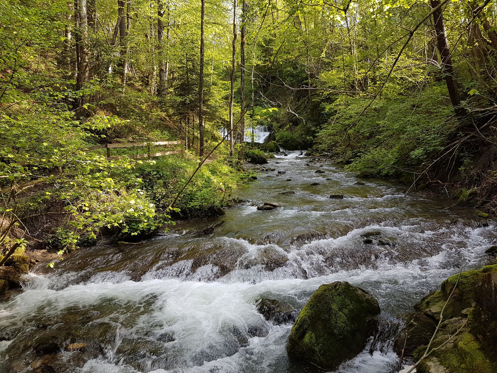
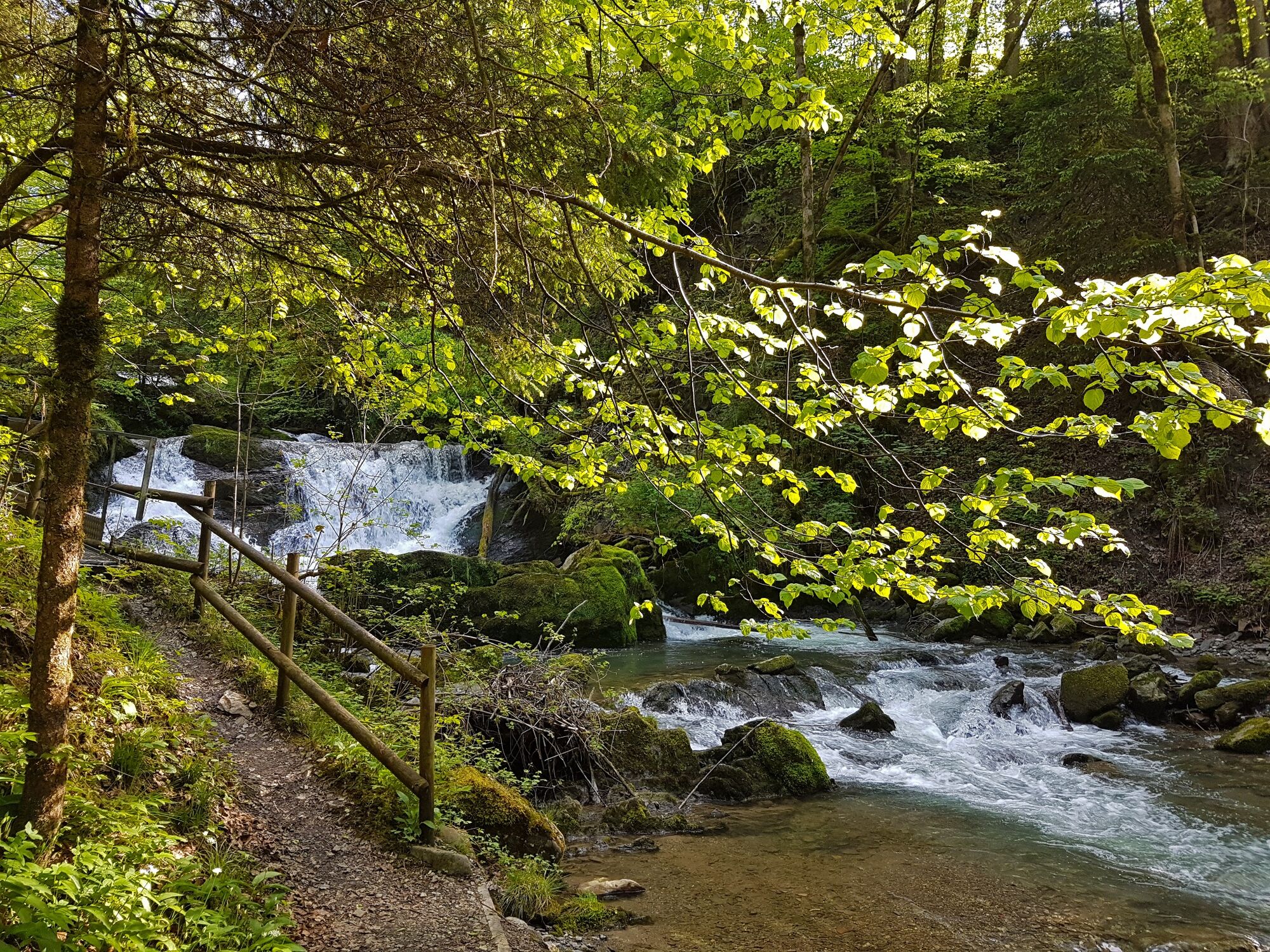
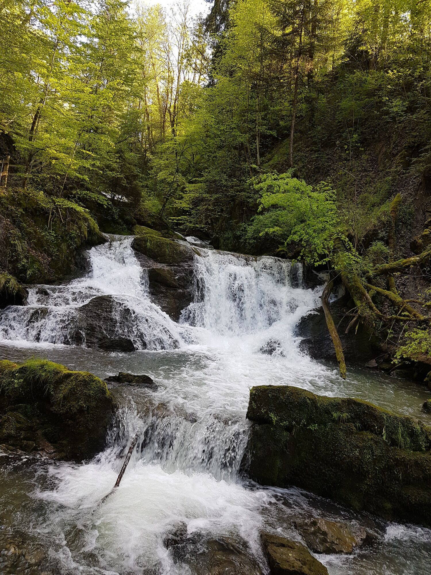
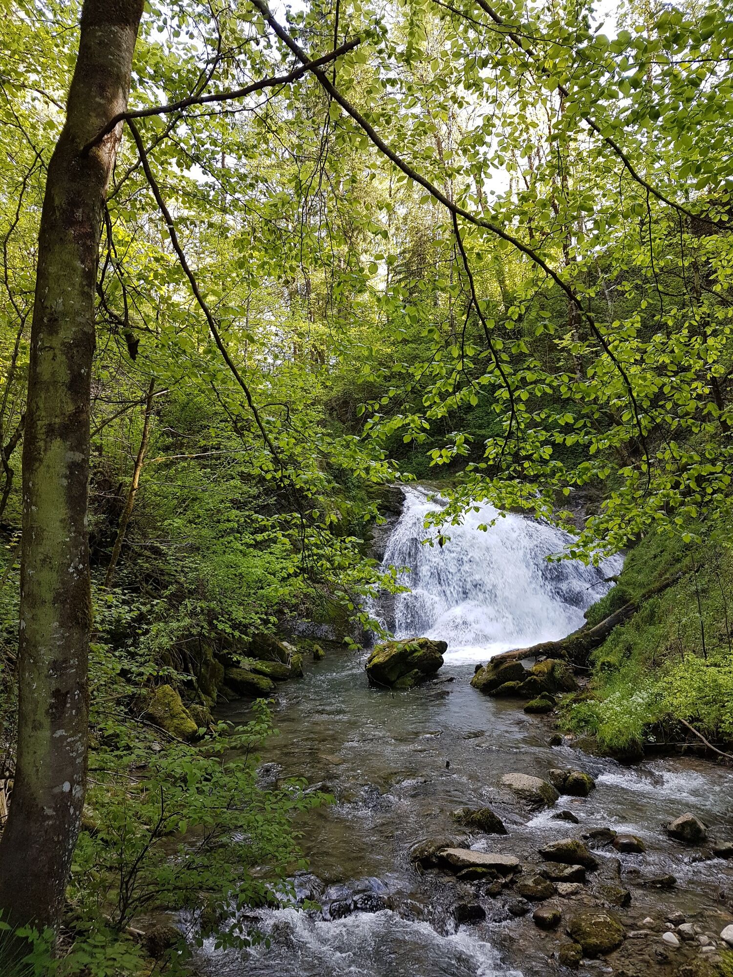
The trails runs through the light-flooded beech forest into the gorge formed by the stream that runs through the village of Andelsbuch. There are waterfalls to admire there.
- Stopień trudności
-
łatwe
- Ocena
-
- Trasa
-
AndelsbuchPfarrkirche Andelsbuch0,0 kmWasserfälle Brühlbach0,9 km
- Najlepszy sezon
-
stylutmarkwimajczelipsiewrzpaźlisgru
- Najwyższy punkt
- 613 m
- Miejsce docelowe
-
Andelsbuch Church
- Profil wysokości
-

- Autor
-
Wycieczka Andelsbuch I trails leading to water jest używany przez outdooractive.com pod warunkiem.
GPS Downloads


Więcej wycieczek w regionach
-
St. Gallen - Bodensee
2066
-
Bregenzerwald
2296
-
Andelsbuch
670