


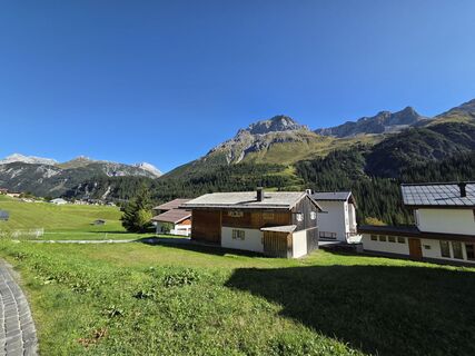
The Green Ring - 2nd Leg
Poziom trudności: T2
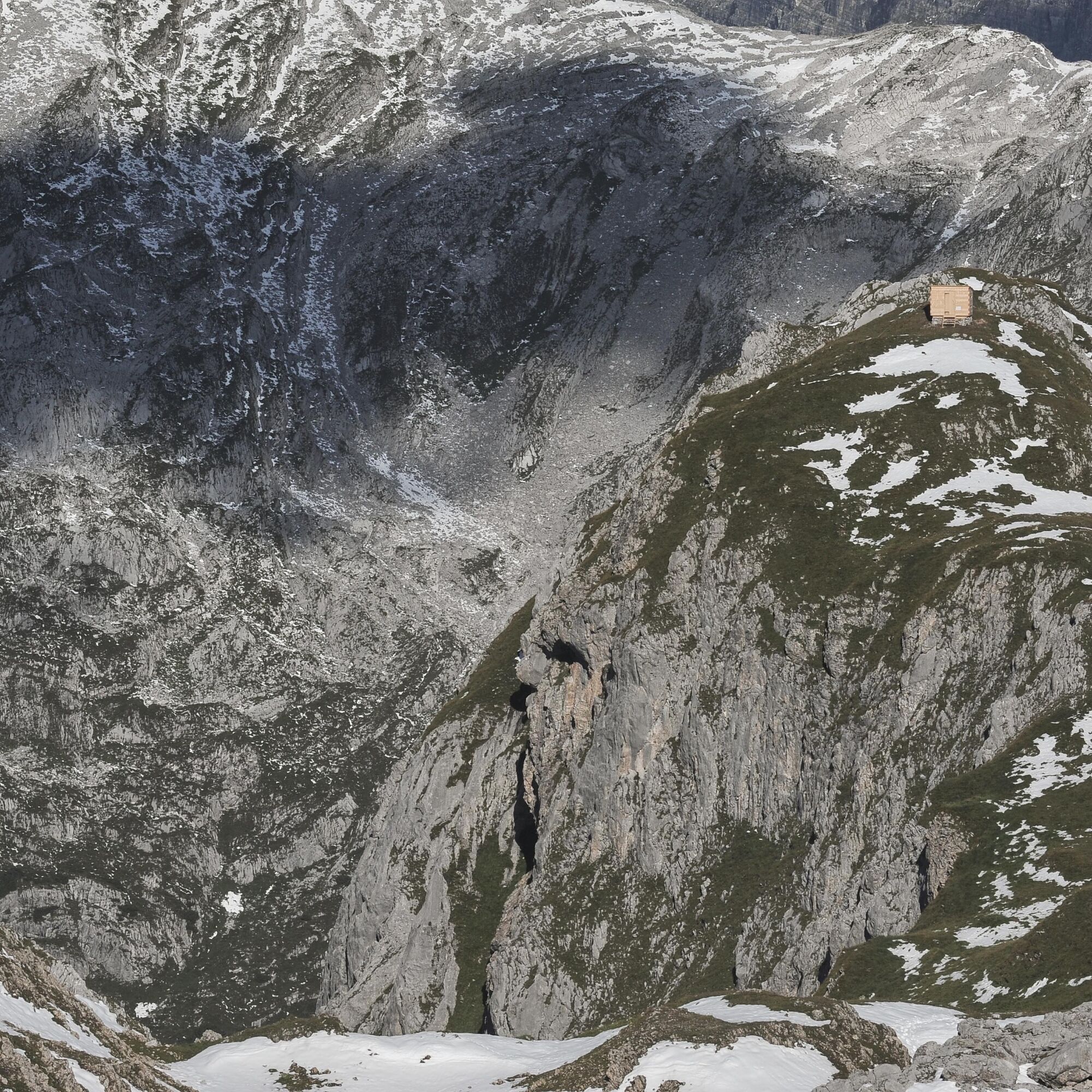
Zdjęcia naszych użytkowników
-
 © Thomas HillingerUtworzono dnia 18.09.2025
 -
 © Christian GutUtworzono dnia 31.08.2025
 -
 © Christian GutUtworzono dnia 31.08.2025
 -
 © Christian GutUtworzono dnia 31.08.2025
 -
 © Christian GutUtworzono dnia 31.08.2025
 -
 © GrizzliUtworzono dnia 31.07.2025
 -

 © Rupert NöbauerUtworzono dnia 09.04.2026
 -
 © Rupert NöbauerUtworzono dnia 09.04.2026
 -
 © Rupert NöbauerUtworzono dnia 09.04.2026
 -

 © Alexander ZerrerUtworzono dnia 15.03.2026
 -
 © Christian Dr TothUtworzono dnia 08.03.2026
 -
 © Moritz_Ski_Berg*erUtworzono dnia 02.03.2026
 -
 © Moritz_Ski_Berg*erUtworzono dnia 02.03.2026
 -
 © Simon TiburgUtworzono dnia 02.03.2026
 -

 © AndréUtworzono dnia 01.03.2026
 -
 © AndréUtworzono dnia 01.03.2026
 -
 © Carl FinkUtworzono dnia 28.02.2026
 -
 © AndréUtworzono dnia 18.01.2026
 -
 © AndréUtworzono dnia 18.01.2026
 -
 © AndréUtworzono dnia 18.01.2026
 -
 © Manfred Binder 4Utworzono dnia 14.01.2026
 -
 © Manfred Binder 4Utworzono dnia 14.01.2026
 -
 © wolfgang fischer 2Utworzono dnia 18.03.2025
 -

 © Andreas KießUtworzono dnia 06.03.2025


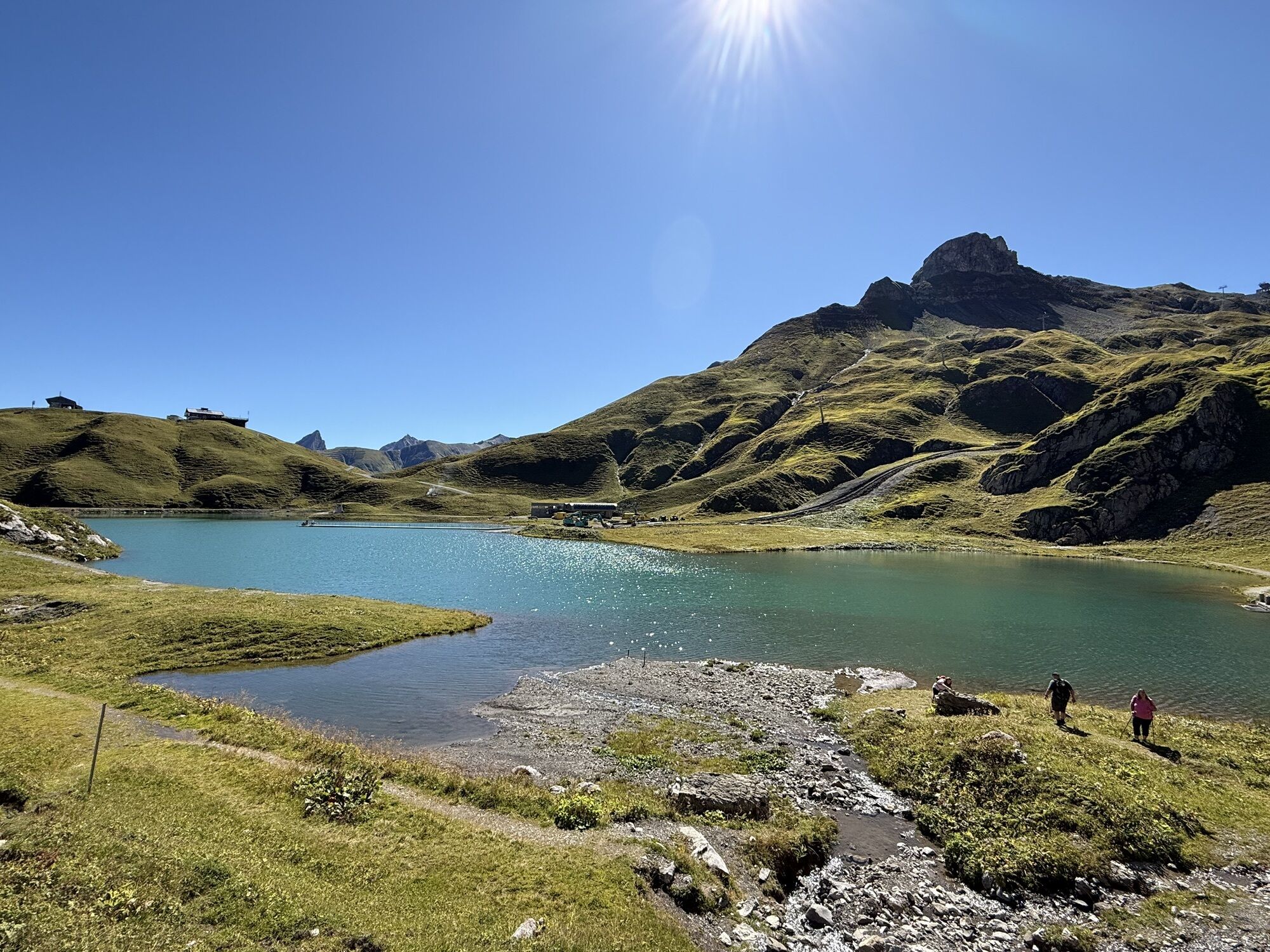
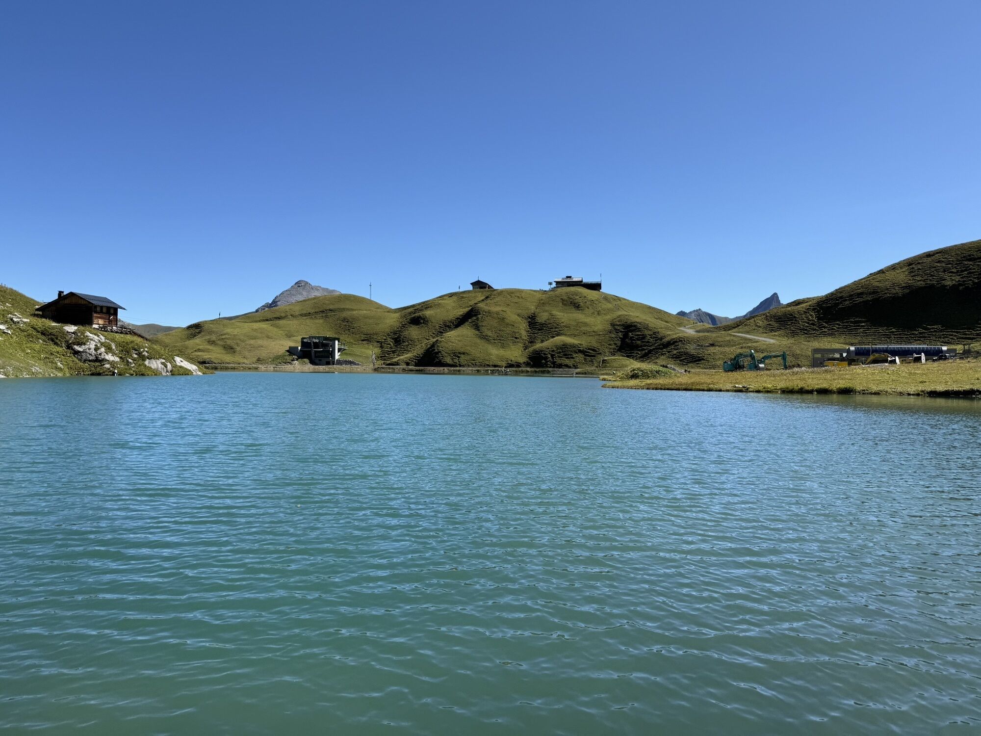


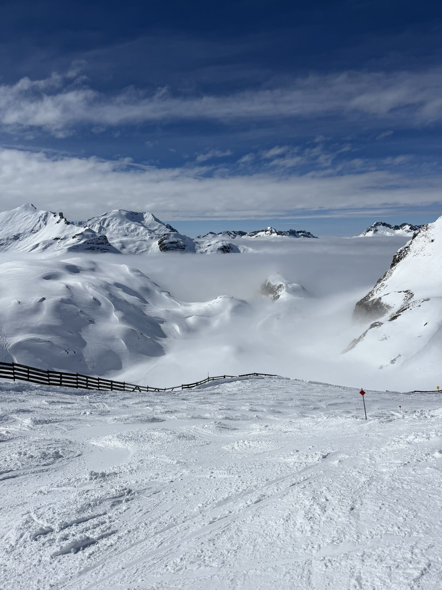


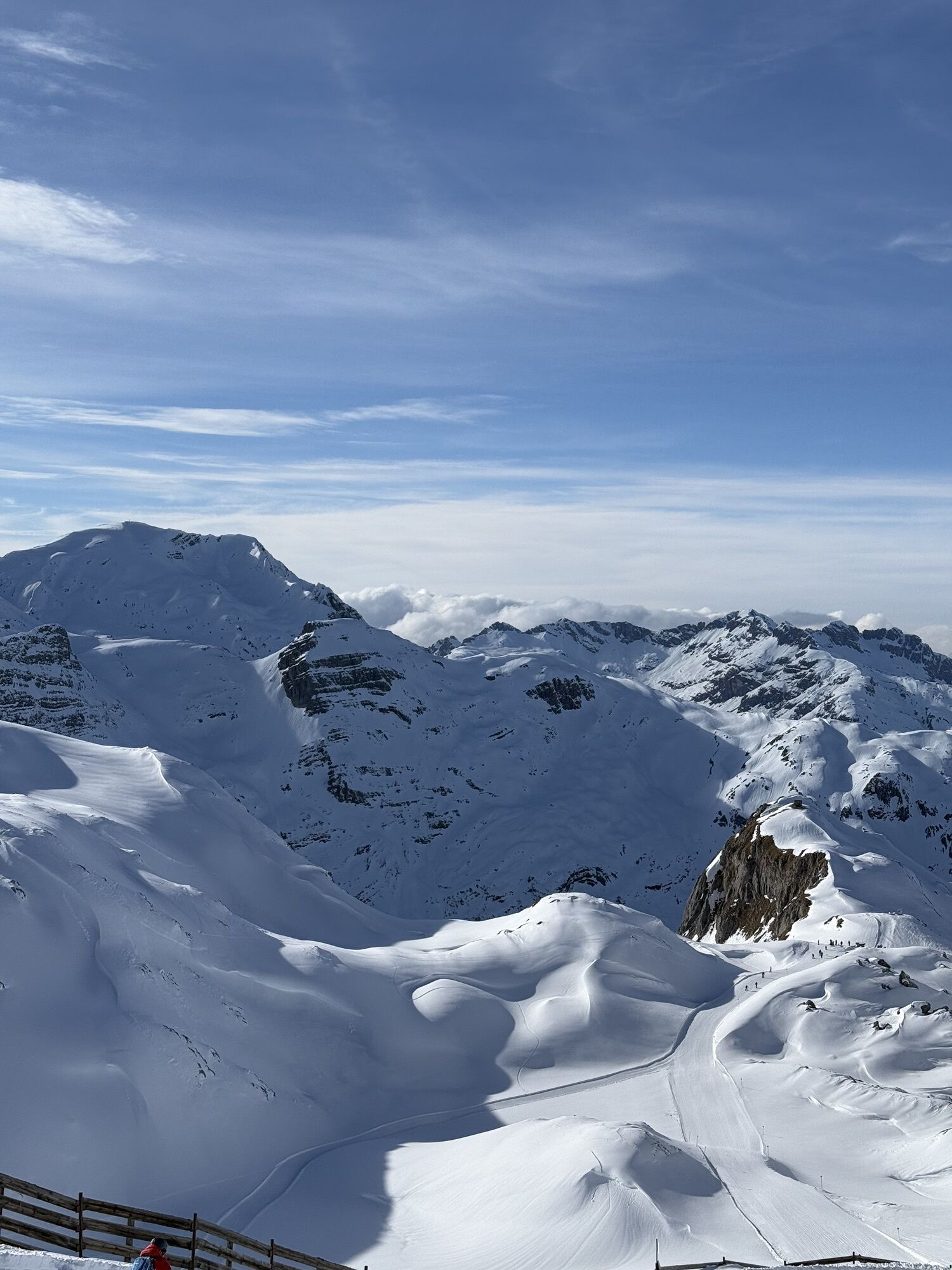
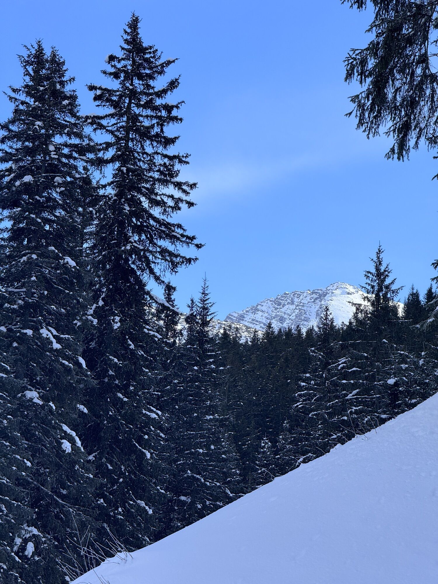
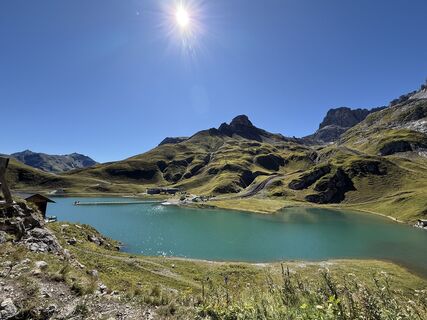
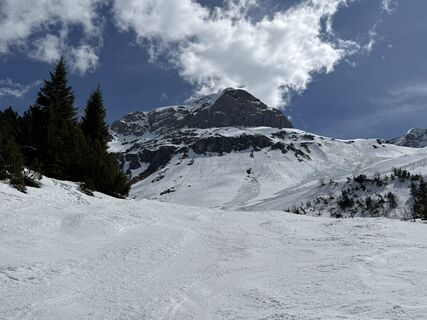
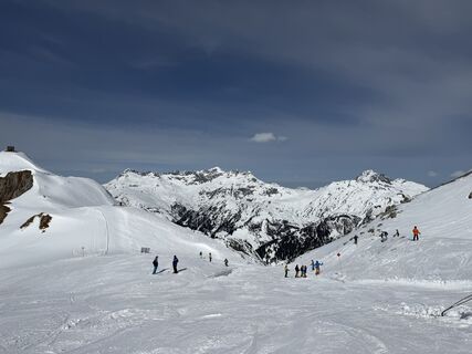
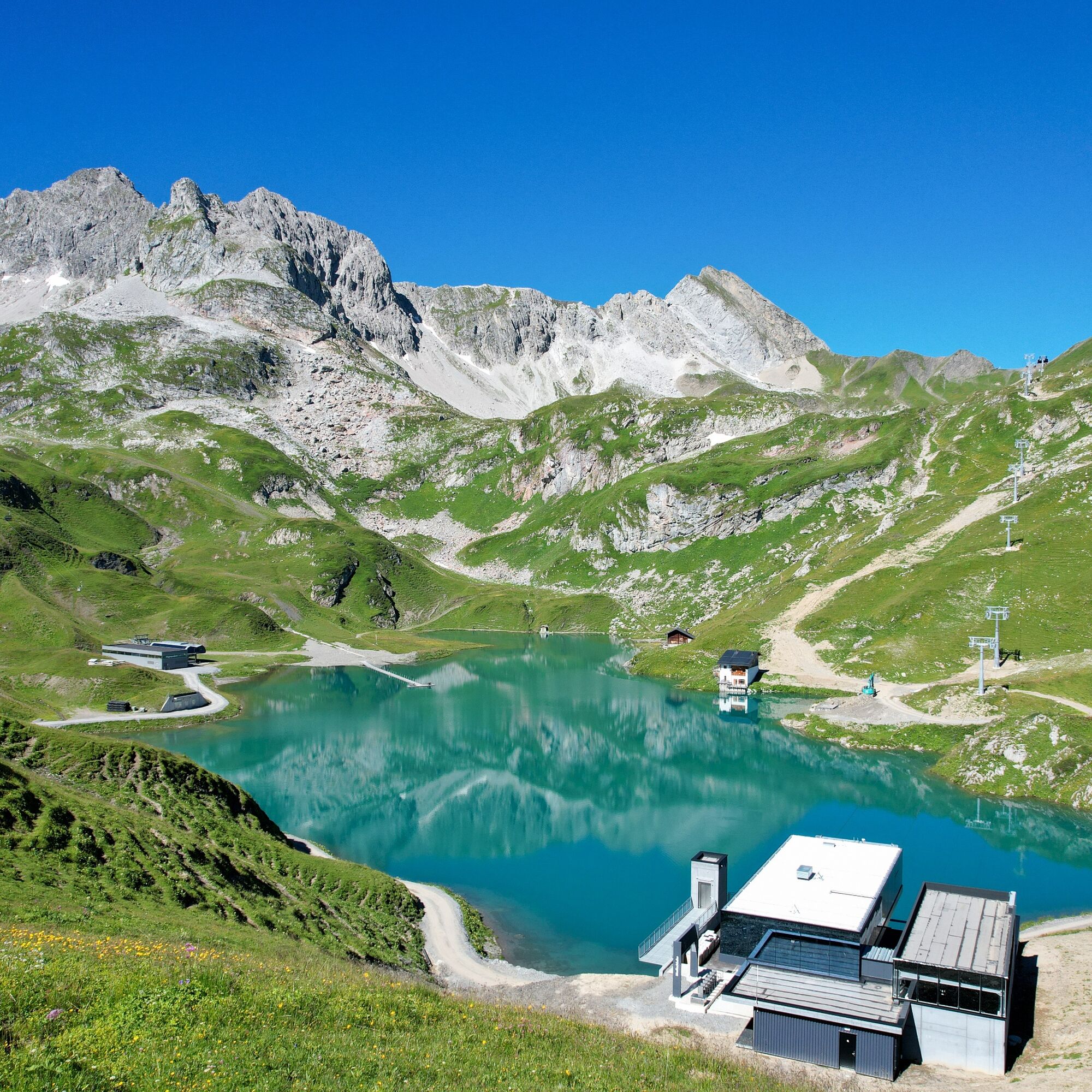
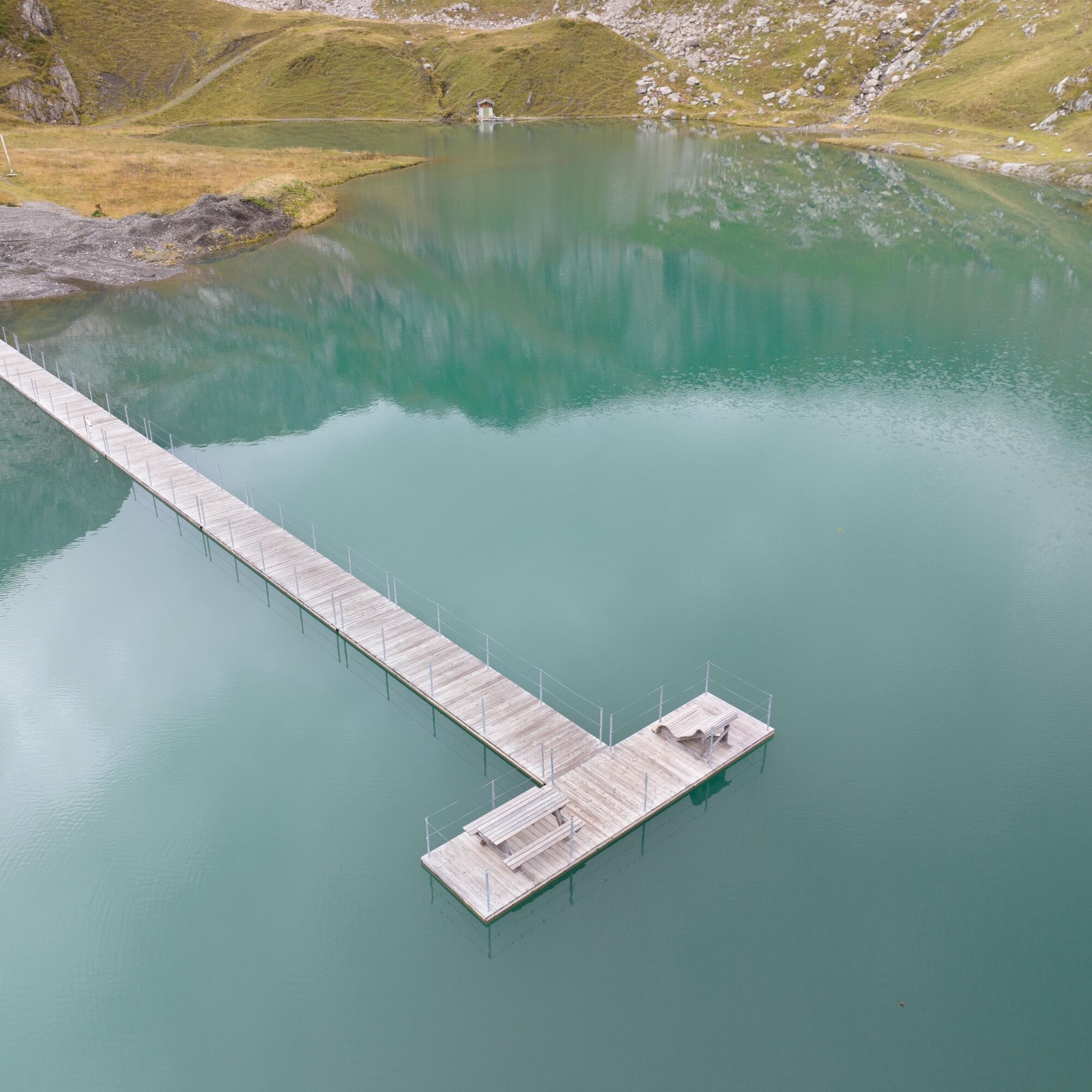
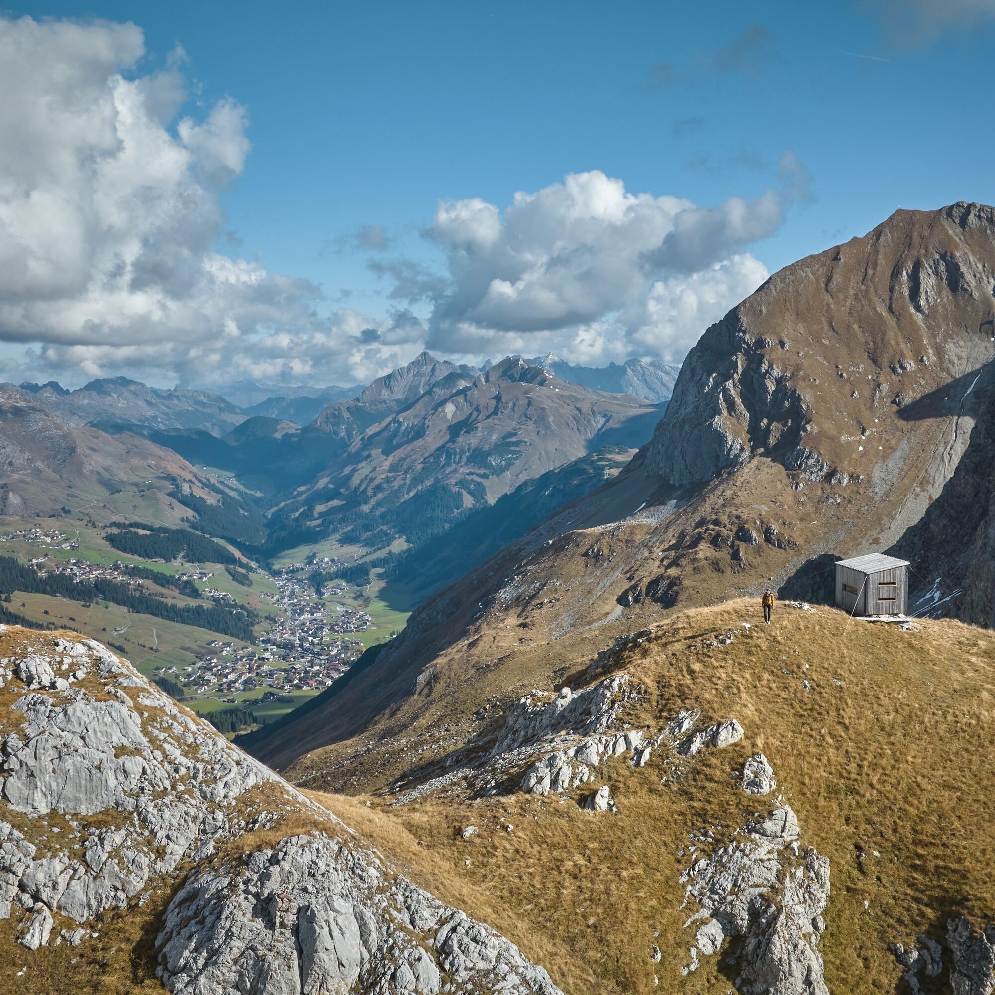
Start off by enjoying the fantastic view of Lake Zürs. You’ll then climb to the highest point at Madlochjoch, where you’ll be rewarded with a breathtaking view and the chance to sign the magical summit...
Stage overview

Good shoes (ankle high, outsole), rainwear, Lech Card and bus schedule.
140 Alpine Emergencies throughout Austria
144 Alpine Emergencies Vorarlberg
112 Euro-Emergency-Call (works with every mobile phone / in every net)
From Switzerland: Via the A13 motorway and the Feldkirch, Hohenems or Lustenau border crossing on the A14 motorway to Bludenz. Continue on the S16 until exit Lech Zürs am Arlberg. Follow the B197 up to Alpe Rauz, turn left here onto the B198 through Flexengalerie and over the Flexenpass to Lech Zürs am Arlberg.
From Austria: Via the Inntalautobahn A12 and then via the S16 to the exit St. Anton am Arlberg (Arlberg Pass). Follow the B197 first through St. Anton, then through St. Christoph and over the Arlbergpass to Alpe Rauz. Turn right here onto the B198, drive through Flexengalerie and over the Flexenpass to Lech Zürs am Arlberg.
By train to Langen am Arlberg station or St. Anton am Arlberg. From there, buses (No. 750+760) run regularly to Lech Zürs am Arlberg.
You can either park your vehicle directly at your host’s property or use the Anger underground parking garage. The garage is located right in the town center, across from the Dorfhus Lech. The garage is open 24 hours a day. The service station is open from 8:00 AM to 5:00 PM. Cash payments are not accepted.
T2
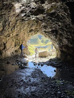
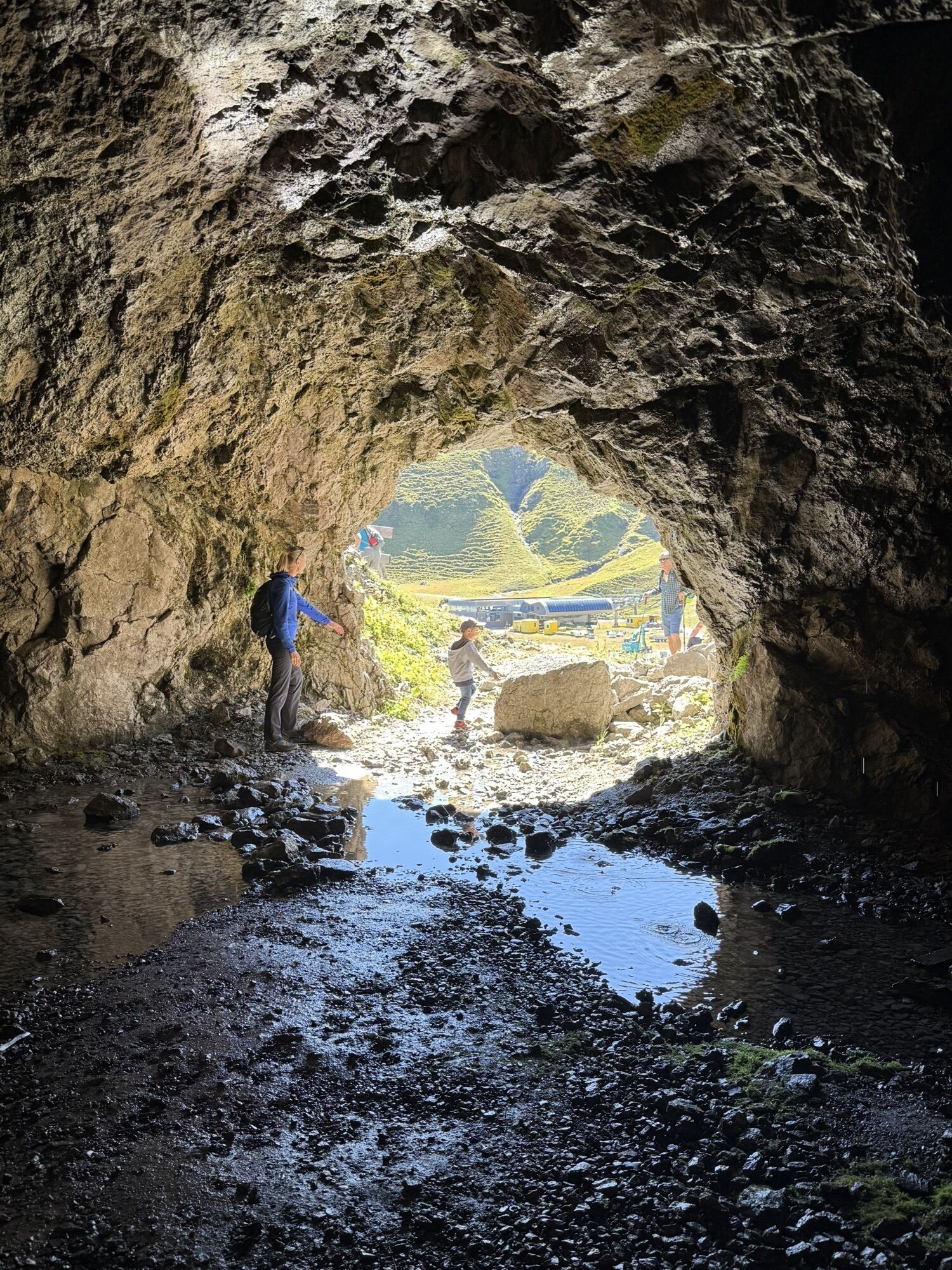
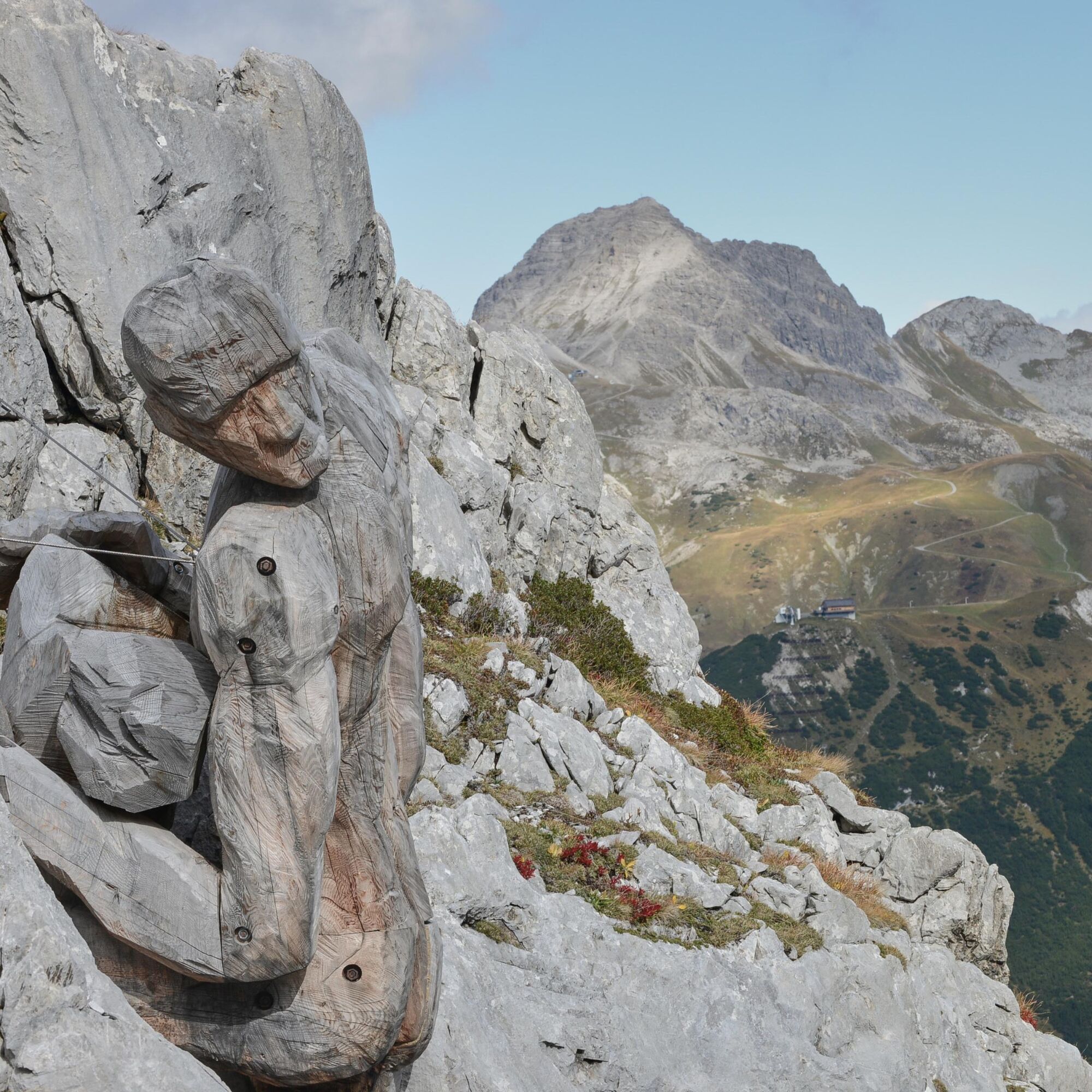
Places of interest: The Giant Taurin – named after the associated legend – is a gigantic wooden giant standing by a crevice in the rock, attempting to carry the scattered boulders back up to the top.
Places to eat: Seekopf Restaurant, restaurants in Lech or Zug, and Fischteich.
Kamery internetowe z trasy
Popularne wycieczki w okolicy
-
4,4
Circular hike through the Bärgunttal
średniWędrówka 4,75 km -
4,7
Widderstein Runde von Baad
średniWędrówka 15,8 km -
4,8
Biberkopf
ciężkiWędrówka 7,70 km -
4,4
Circular hike through the Derratal
średniWędrówka 8,11 km -
4,6
Kristberg - Wasserstubental - Silbertal
światłoWędrówka 13,8 km -
4,8
Circular hike through the Gemsteltal
światłoWędrówka 5,53 km -
4,4
St Anton zur Darmstädter Hütte
ciężkiMountainbike 28,4 km -
3,3
Dalaas - Freiburgerhütte
średniWędrówka 8,40 km -
4,0
Stuben - Stubner See - Kaltenberghütte - Stuben
średniWędrówka 9,90 km -
4,9
Braunarlspitze
ciężkiWędrówka 16,6 km
Wędrówki i tropienie


Nie przegap ofert i inspiracji na następne wakacje
Twój adres e-mail została dodana do listy mailingowej.