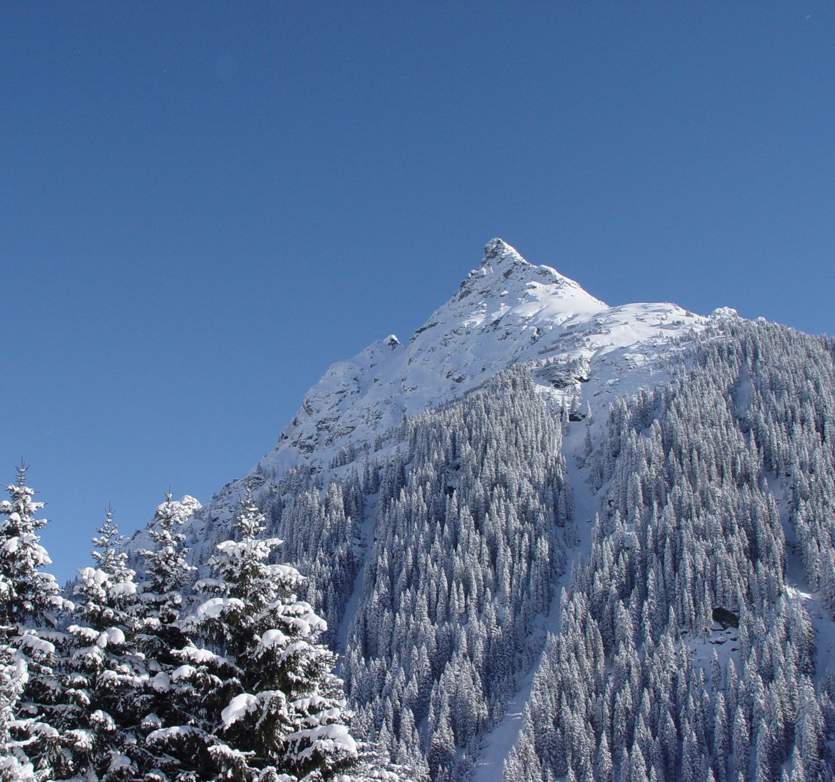
Gargellen Forstweg Schmalzberg

Logo Gargellen Forstweg Schmalzberg
Rakieta do chodzenia po śniegu
Logo Gargellen Forstweg Schmalzberg
Dane wycieczki
3,1km
1.359 - 1.466m
Distanz
107hm
94hm
Ascent
01:00h
 
Czas trwania
Krótki opis

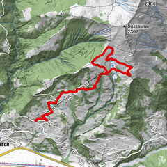
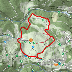
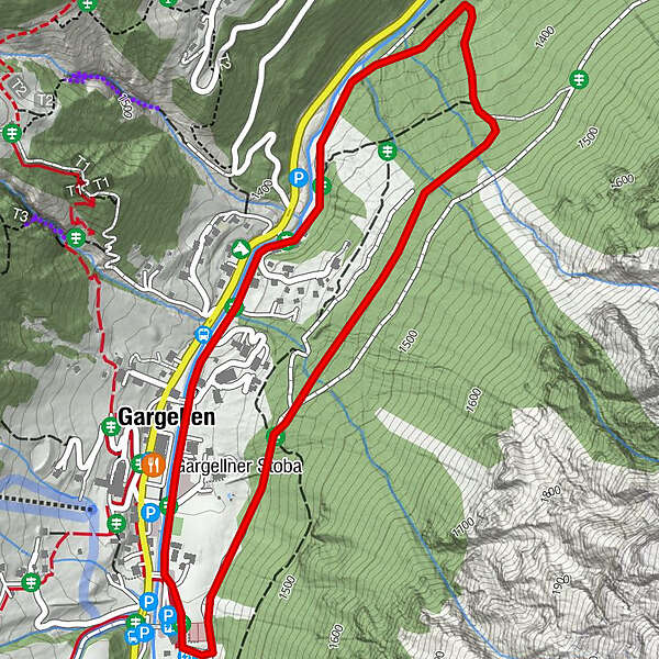
Talstation Bergbahnen Gargellen – talauswärts am Suggadin entlang – Borstboden – oberhalb Haus Sursilva – Talstation Bergbahnen Gargellen

Stopień trudności
średni
Ocena
Technika
Kondycja
Krajobraz
Przeżycie
Trasa
Gargellner Stoba
0,3 km
Gargellen
0,5 km

Najlepszy sezon
sie
wrz
paź
lis
gru
sty
lut
mar
kwi
maj
cze
lip
Najwyższy punkt
1.466 m
Miejsce docelowe

Ortsmitte Gargellen

Profil wysokości

Autor
Wycieczka Gargellen Forstweg Schmalzberg jest używany przez outdooractive.com pod warunkiem.

5,0
Ogólna ocena

5

100

%

4

0

%

3

0

%

2

0

%

1

0

%

GPS Downloads
  • GPX GPS Exchange Format (XML)
  • KML Google Earth, Google Maps
Kody pobierania QR dla telefonów komórkowych

Informacje ogólne

Przystanek odświeżania
Obiecujący
Więcej wycieczek w regionach

Popularne wycieczki po okolicy

Valley station Eggli round tour (marked trail)

średni Rakieta do chodzenia po śniegu
12,43km | 995hm | 06:00h

Snowshoe tour "Tschengla" | Bürserberg

średni Rakieta do chodzenia po śniegu
2,8km | 91hm | 01:00h

Winter Hiking & Snowshoe Tour "Palüd - Niggenkopf" | Brand

średni Rakieta do chodzenia po śniegu
2,93km | 124hm | 01:30h

St. Antönien - Pany forest trail (marked trail no. 9)

łatwe Rakieta do chodzenia po śniegu
7,21km | 114hm | 02:45h