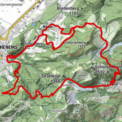
Dane wycieczki
24,1km
426
- 1.292m
664hm
892hm
02:00h
- Krótki opis
-
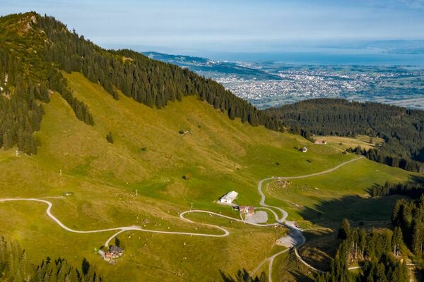
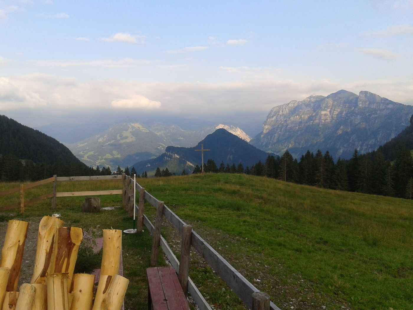
Mountainbikeroute von Mellau über Fluh - Schnellvorsäß - Rohralpe - Kobelalpe, Rappenlochschlucht und Gütle nach Dornbirn
- Stopień trudności
-
średni
- Ocena
-
- Punkt wyjścia
-
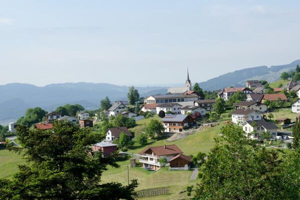
Mellau Dorf
- Trasa
-
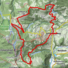
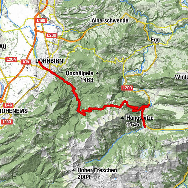
TempelMoosPlatz0,0 kmPfarrkirche Mellau0,0 kmMellau0,0 kmRistorante Pizzeria Sandro0,1 kmÜbermellen0,3 kmZimmerau0,5 kmIn der Mellen0,8 kmKlaus1,5 kmReuthe2,9 kmKlauser Wasserfall4,5 kmStöck12,9 kmGütle20,0 kmRestaurant Frischluft21,8 kmKarrenseilbahn Talstation22,0 kmDornbirn (437 m)23,6 km
- Najlepszy sezon
-
stylutmarkwimajczelipsiewrzpaźlisgru
- Najwyższy punkt
- 1.292 m
- Miejsce docelowe
-
Dornbirn
- Odpoczynek/Odosobnienie
-
Weißenfluh, Lustenauer Hütte
GPS Downloads


Pasy ruchu
Asfalt
(20%)
Żwir
(80%)
Las
Szlaki górskie
Wyprawy singletrails
Trial
Komunikacja
Więcej wycieczek w regionach