© Alpenregion Bludenz Tourismus GmbH - Gregor Kreuzer

© Alpenregion Bludenz Tourismus GmbH - Gregor Kreuzer

© Alpenregion Bludenz Tourismus GmbH - Gregor Kreuzer

© Alpenregion Bludenz Tourismus GmbH - Gregor Kreuzer

© Alpenregion Bludenz Tourismus GmbH - Gregor Kreuzer

© Alpenregion Bludenz Tourismus GmbH - Gregor Kreuzer

© Alpenregion Bludenz Tourismus GmbH - Gregor Kreuzer
- Krótki opis
-
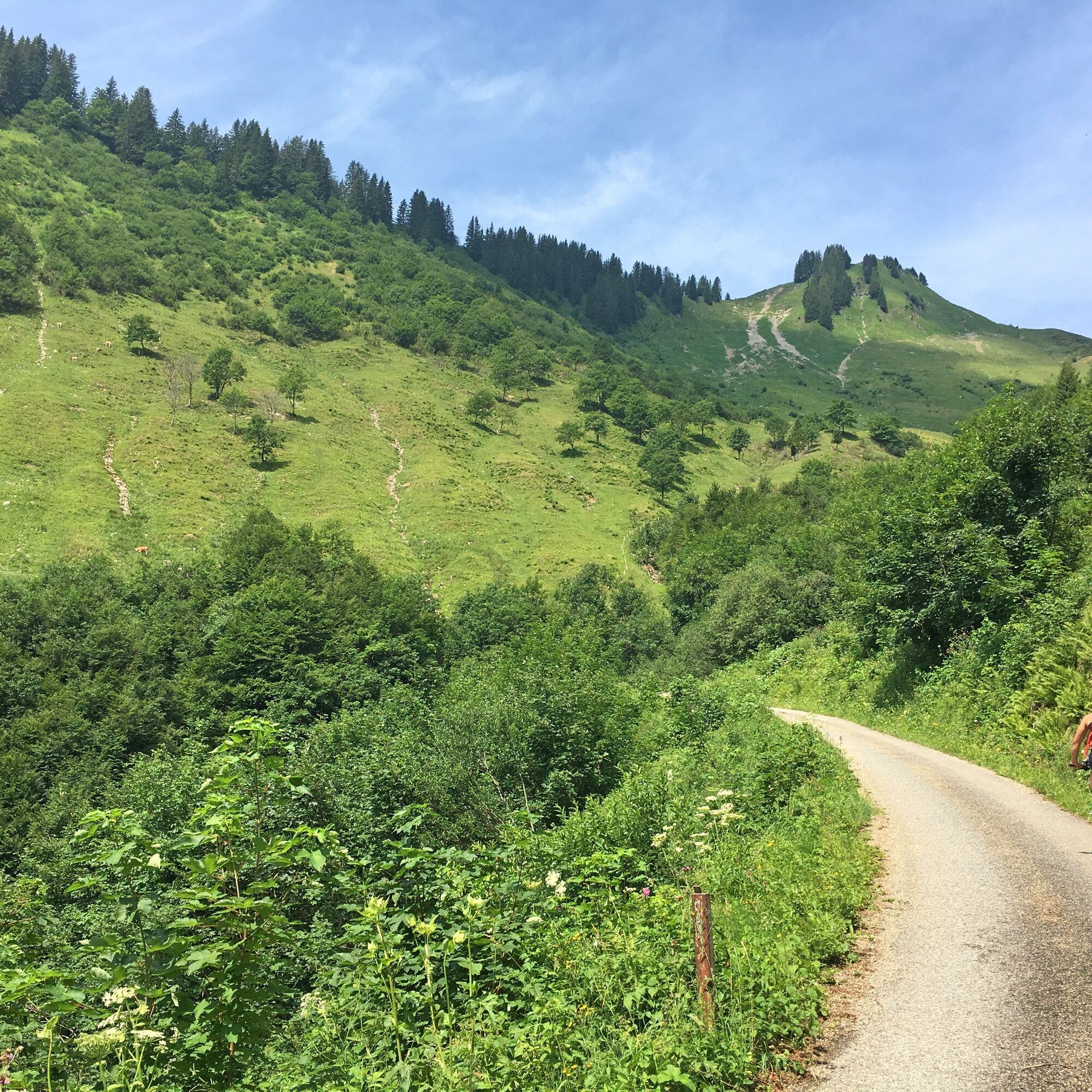
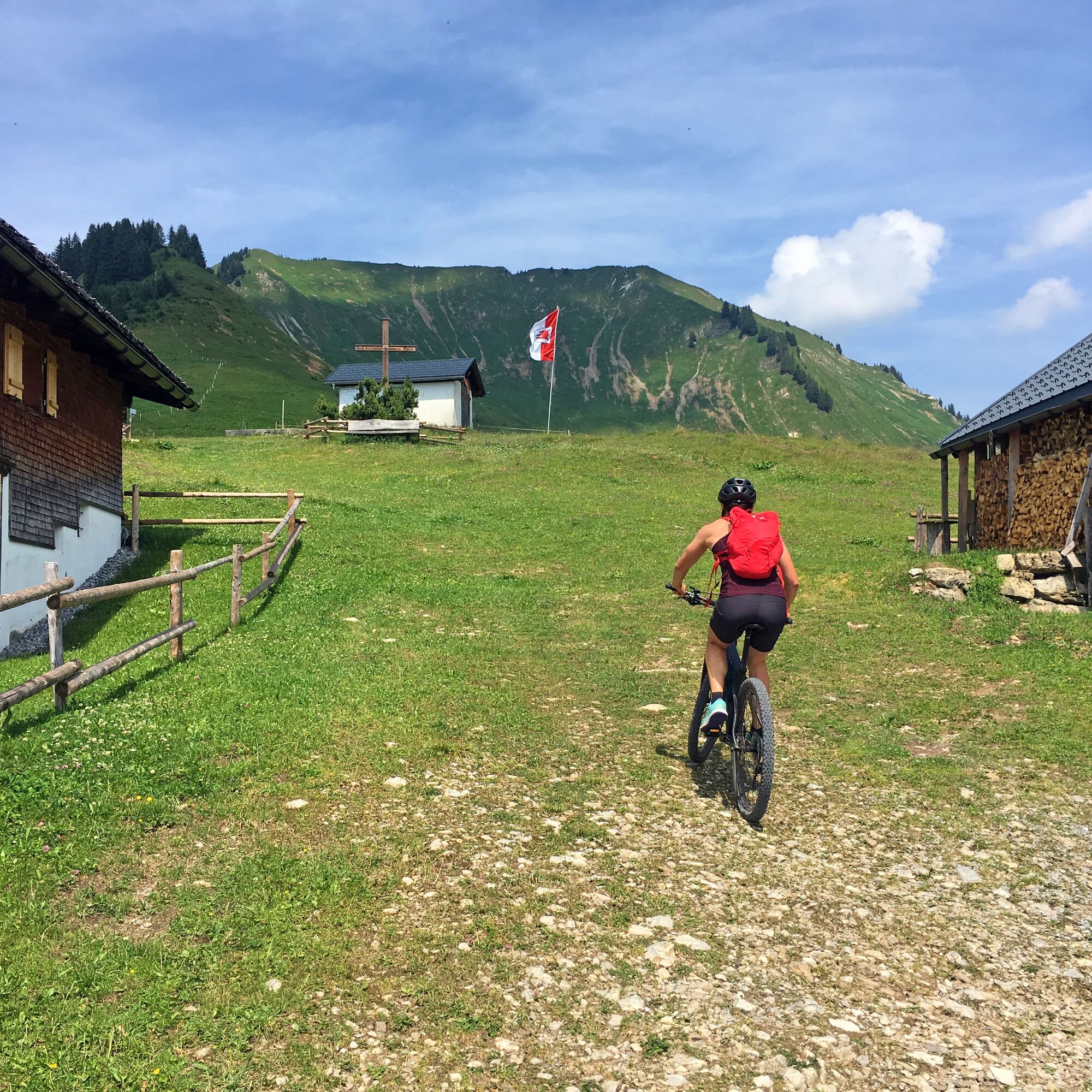
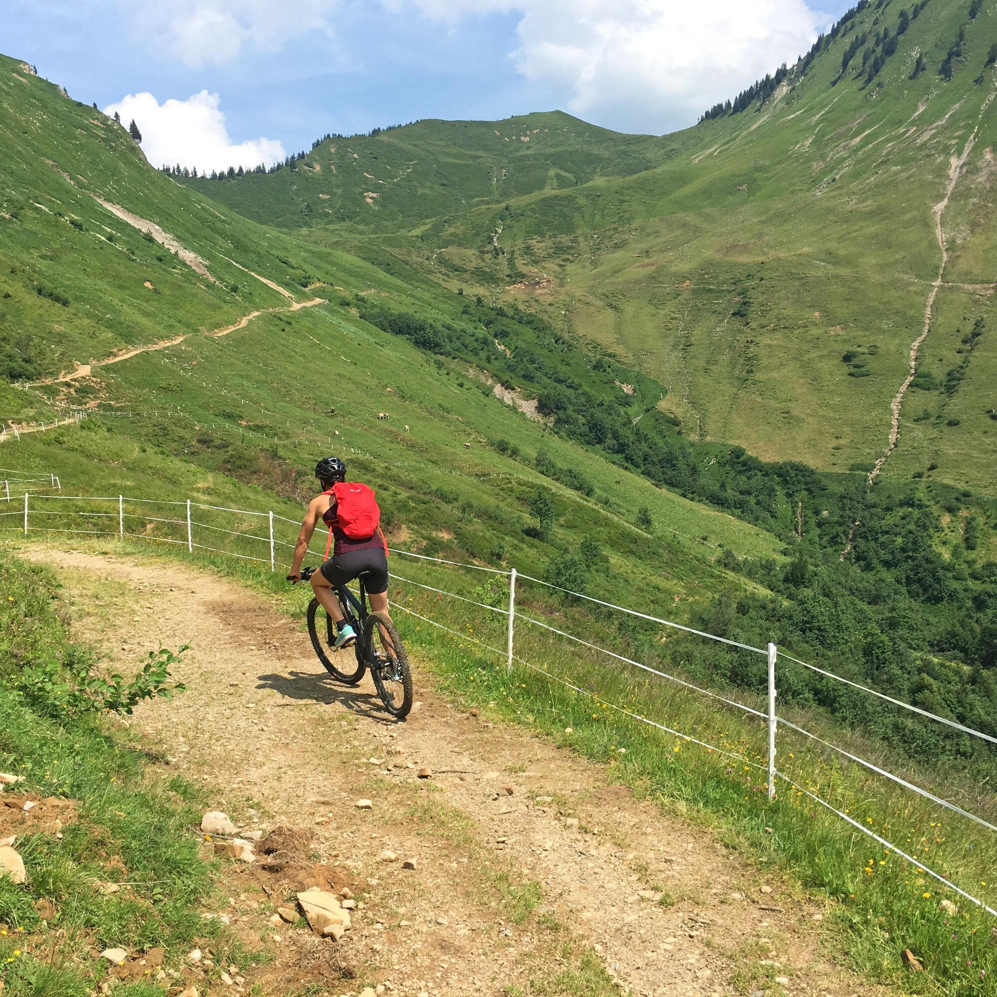
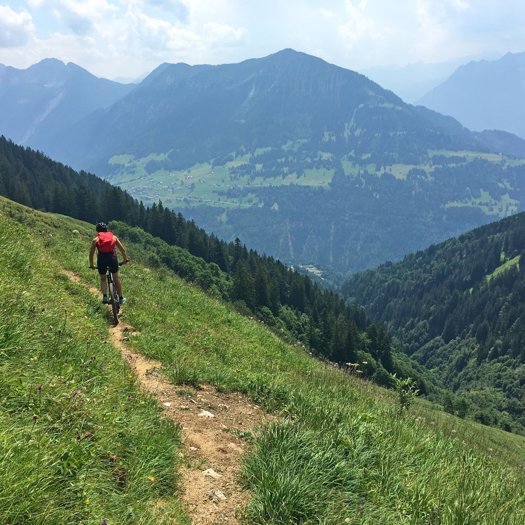
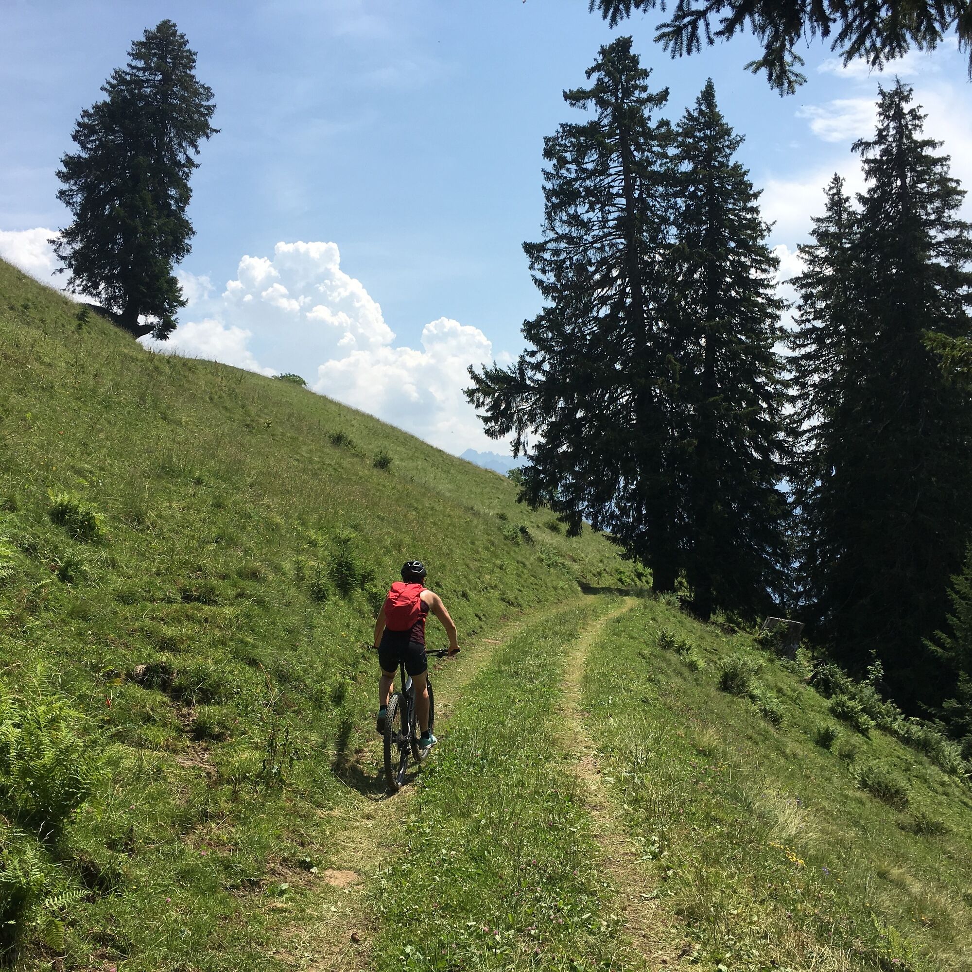
Panoramic mountain bike tour past the Gaßner Alpe and the Plansott Alpe in the Großes Walsertal Biosphere Reserve.
- Stopień trudności
-
średni
- Ocena
-
- Trasa
-
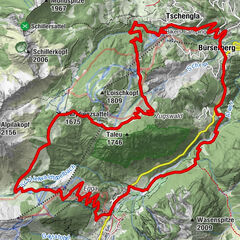
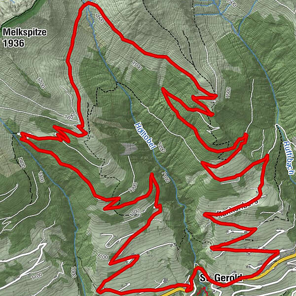
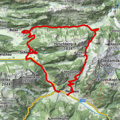
St. Gerold0,1 kmGaßnerberg2,5 kmGaßneralpe6,7 kmPlazgadena7,8 kmPlansottalpe (1.558 m)9,2 kmBündten (1.312 m)11,8 kmPlankenberg14,2 kmSt. Gerold15,7 km
- Najlepszy sezon
-
stylutmarkwimajczelipsiewrzpaźlisgru
- Najwyższy punkt
- 1.631 m
- Miejsce docelowe
-
Community centre, St. Gerold
- Profil wysokości
-


- Autor
-
Wycieczka 2-Alps-Tour | St. Gerold jest używany przez outdooractive.com pod warunkiem.
GPS Downloads


Pasy ruchu
Trial
Informacje ogólne
Obiecujący
Więcej wycieczek w regionach

")