© Alpenregion Bludenz Tourismus GmbH - Alex Kaiser

© Alpenregion Bludenz Tourismus GmbH - Alex Kaiser

© Alpenregion Bludenz Tourismus GmbH - Alex Kaiser

© Alpenregion Bludenz Tourismus GmbH - Alex Kaiser

© Vorarlberg Tourismus GmbH
- Krótki opis
-
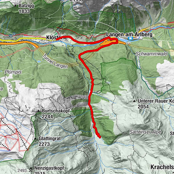
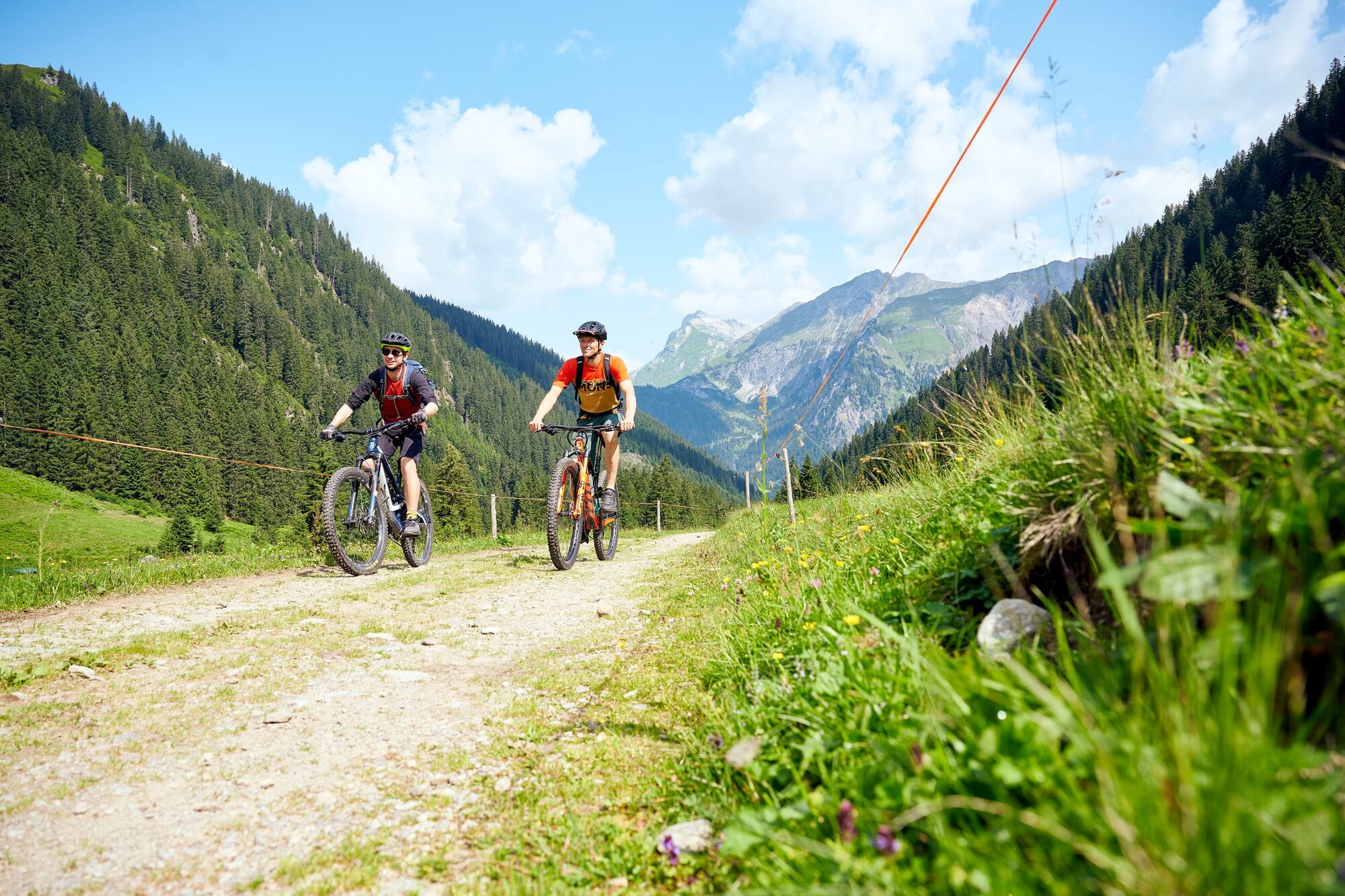
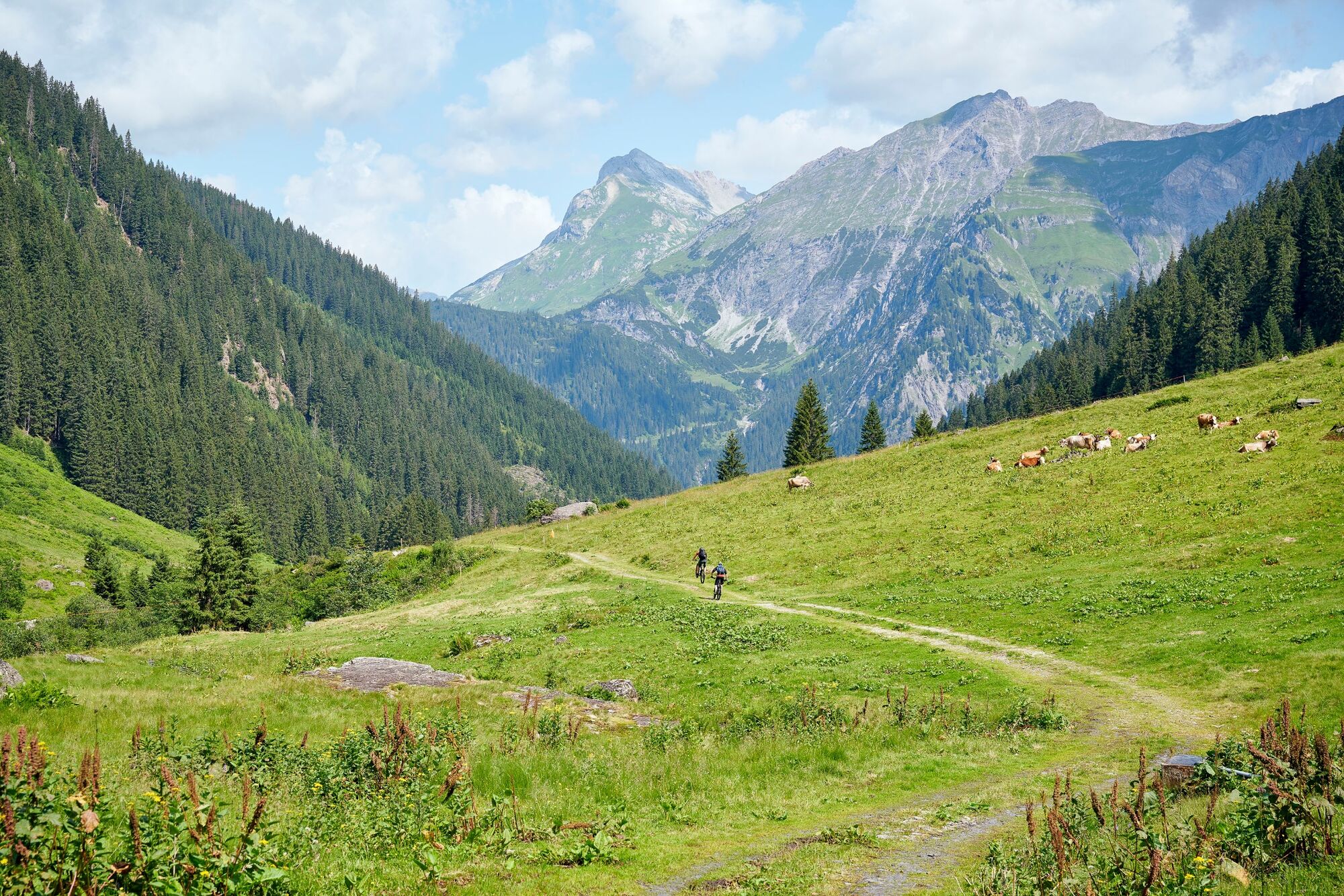
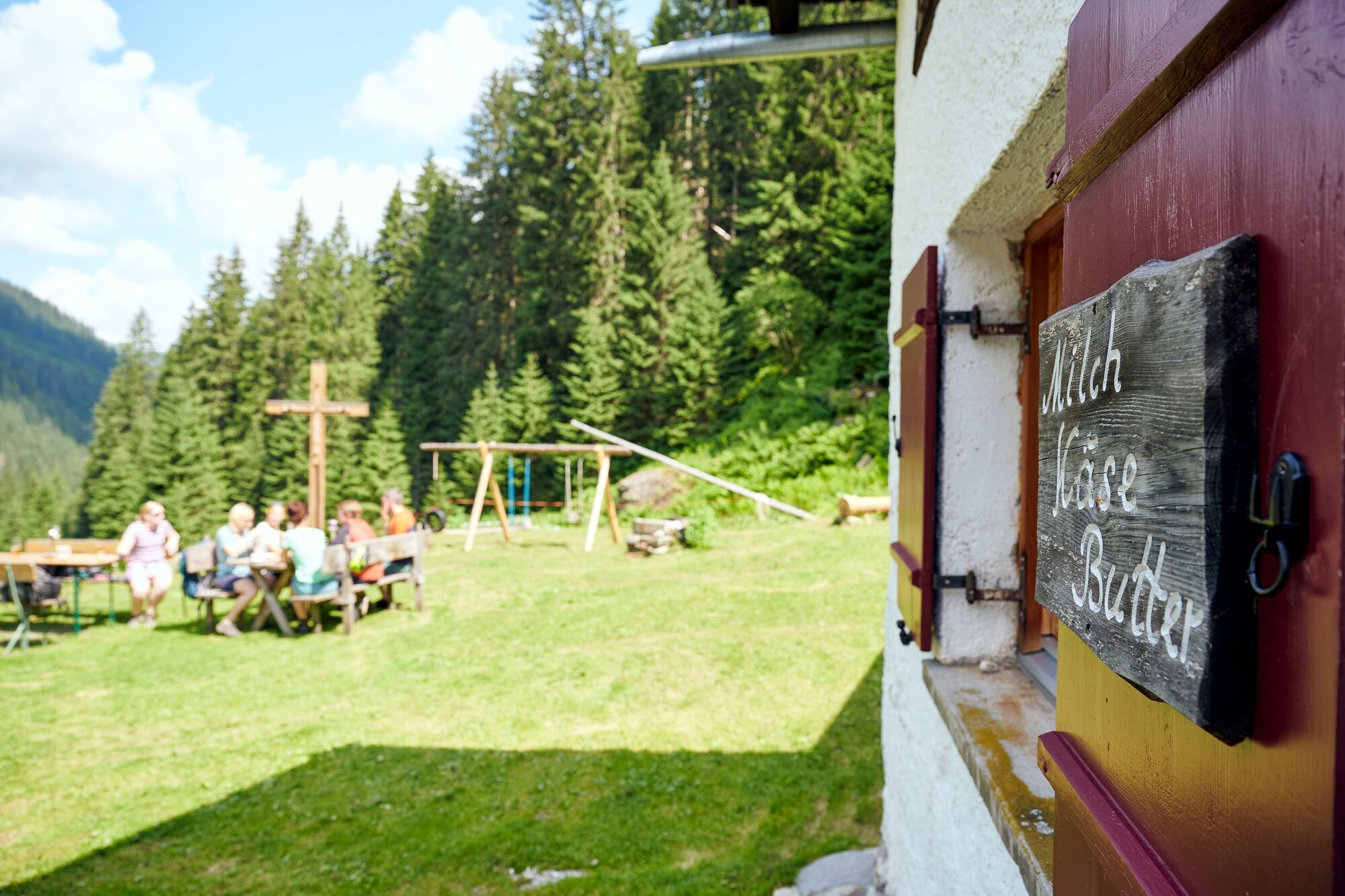
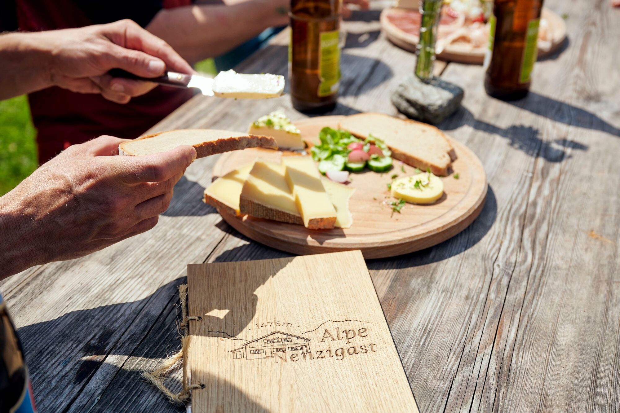
The Nenzigasttal is a long and secluded alpine valley and reaches far into the Verwall. Along the rushing, turquoise-blue Nenzigastbach stream you reach the idyllic alpine pasture, where the hungry and thirsty can enjoy fresh, local alpine products.
- Stopień trudności
-
średni
- Ocena
-
- Trasa
-
Klösterle (1.073 m)Engel0,1 km14 Nothelfer Kapelle1,8 kmLangen am Arlberg (1.220 m)1,9 kmAlpe Nenzigast6,1 kmLangen am Arlberg (1.220 m)10,3 km14 Nothelfer Kapelle10,5 kmEngel12,1 kmKlösterle (1.073 m)12,3 km
- Najlepszy sezon
-
stylutmarkwimajczelipsiewrzpaźlisgru
- Najwyższy punkt
- 1.473 m
- Miejsce docelowe
-
Village center, Klösterle am Arlberg
- Profil wysokości
-

- Autor
-
Wycieczka Nenzigast Alpe on bike | Klösterle am Arlberg jest używany przez outdooractive.com pod warunkiem.
GPS Downloads


Informacje ogólne
Przystanek odświeżania
Więcej wycieczek w regionach


 Lech Zuers Tourismus by Hanno Mackowitz")