© Alpenregion Bludenz Tourismus GmbH - Melanie Fleisch

© Alpenregion Bludenz Tourismus GmbH - Melanie Fleisch

© Alpenregion Bludenz Tourismus GmbH - Melanie Fleisch

© Vorarlberg Tourismus GmbH
- Krótki opis
-
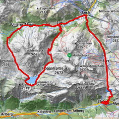
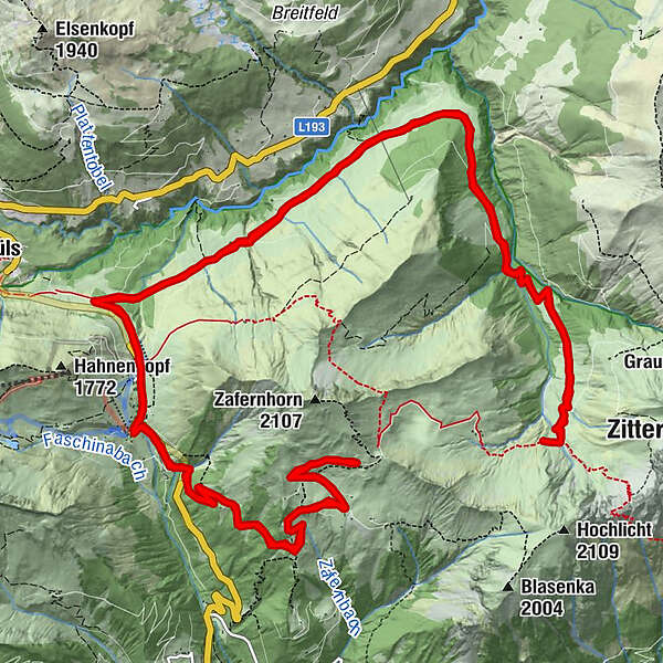
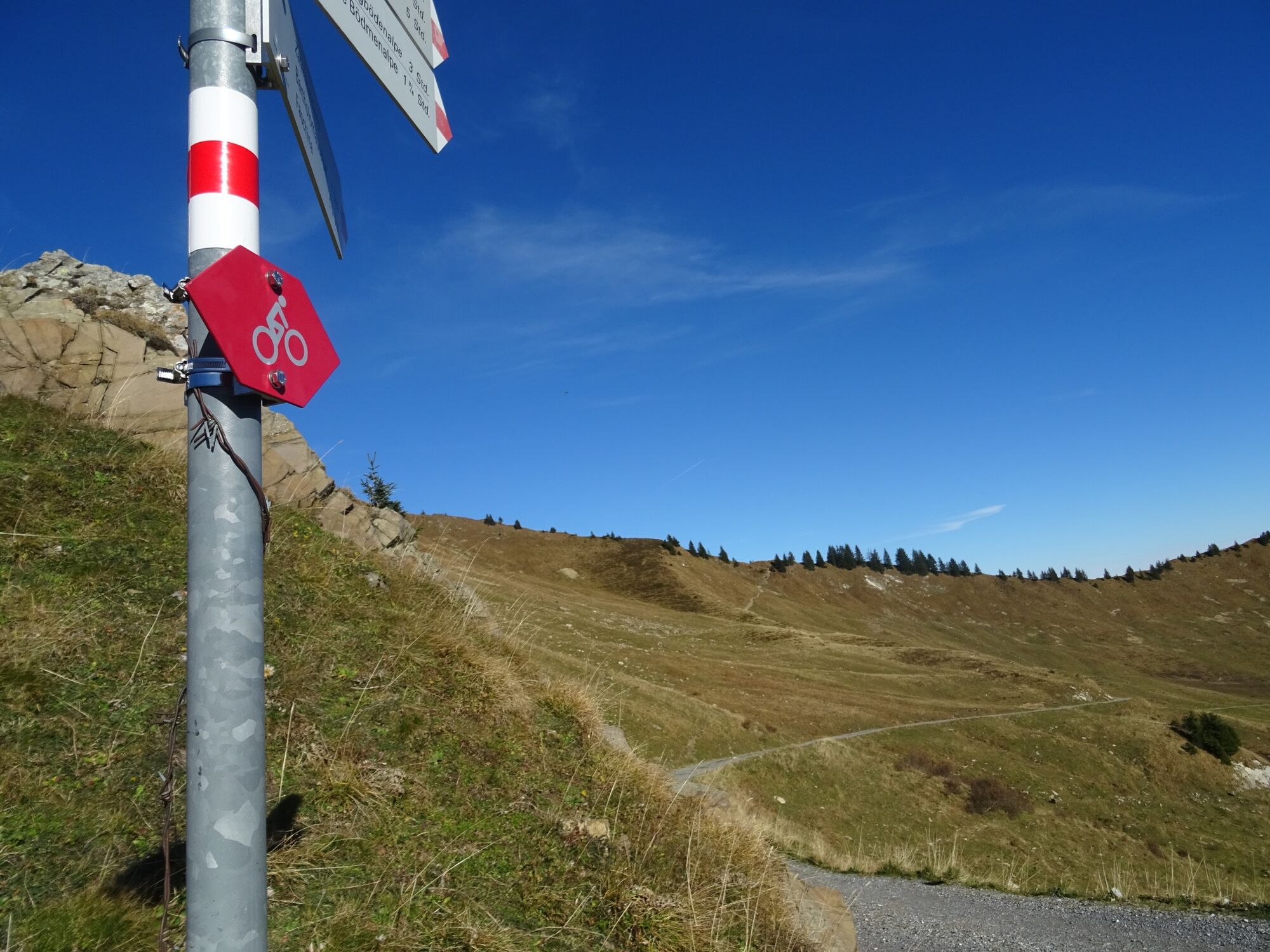
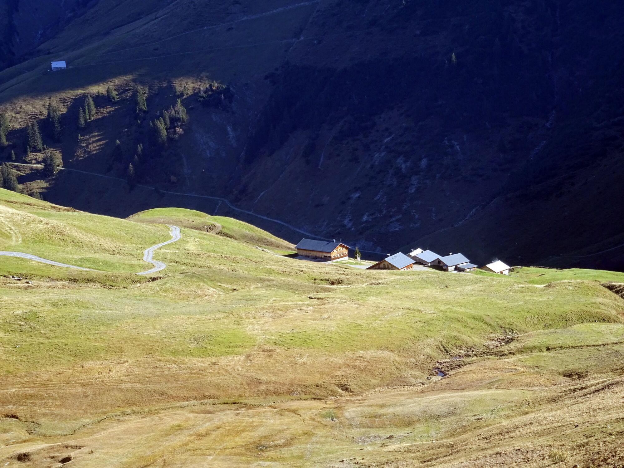
Very beautiful and challenging MTB tour with single trail and stretcher passages around the Zafernhorn in Fontanella-Faschina.
- Stopień trudności
-
ciężkie
- Ocena
-
- Trasa
-
Faschina0,0 kmPanorama + Parkbucht0,5 kmZafernmaisäß3,9 kmPanorama + Parkbucht9,7 kmFaschina10,1 kmHintere Bödmenalpe12,2 kmHintere Bödmenalpe23,8 kmFaschina25,7 km
- Najlepszy sezon
-
stylutmarkwimajczelipsiewrzpaźlisgru
- Najwyższy punkt
- 1.837 m
- Miejsce docelowe
-
Faschinapass, Fontanella-Faschina
- Profil wysokości
-

- Autor
-
Wycieczka Around the Zafernhorn | Fontanella-Faschina jest używany przez outdooractive.com pod warunkiem.
GPS Downloads


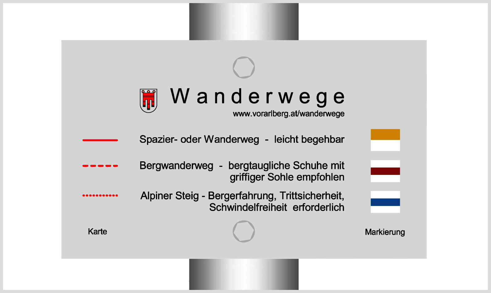
Pasy ruchu
Trial
Informacje ogólne
Przystanek odświeżania
Obiecujący
Więcej wycieczek w regionach
 Lech Zuers Tourismus by Hanno Mackowitz")