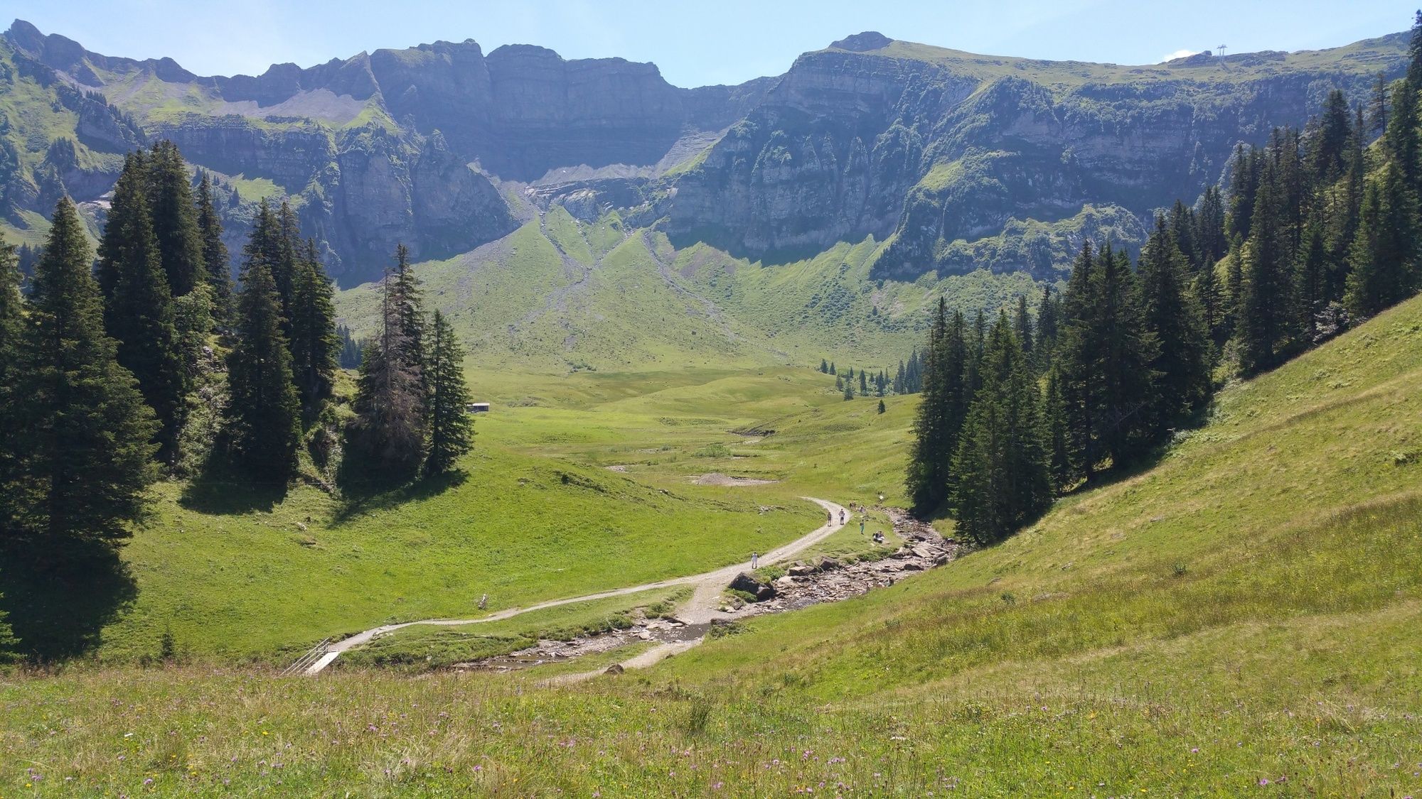
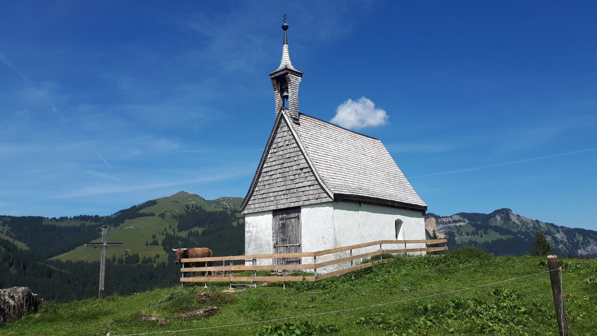
© Au-Schoppernau Tourismus - Monika Albrecht

© Au-Schoppernau Tourismus - Monika Albrecht

© Au-Schoppernau Tourismus - Monika Albrecht

© Au-Schoppernau Tourismus - Monika Albrecht

© Au-Schoppernau Tourismus - Monika Albrecht

© Au-Schoppernau Tourismus - Monika Albrecht

© Au-Schoppernau Tourismus - Monika Albrecht

© Au-Schoppernau Tourismus - Monika Albrecht

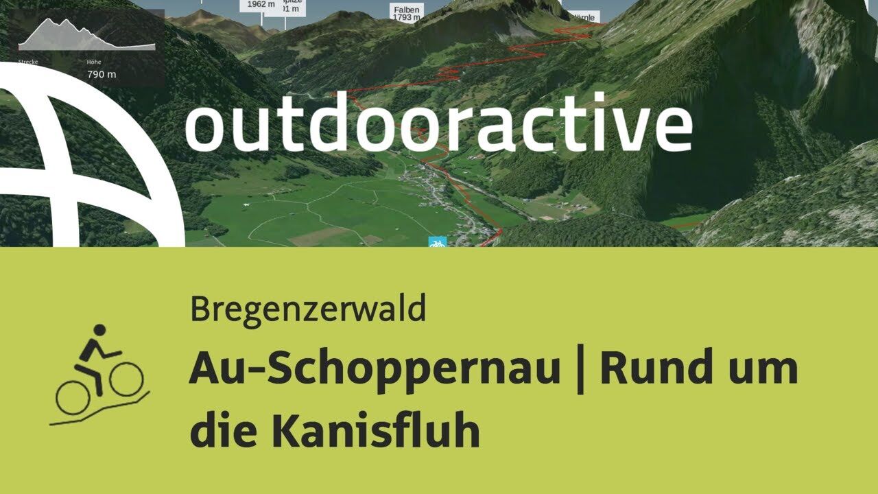
© Outdooractive – 3D Videos

- Krótki opis
-
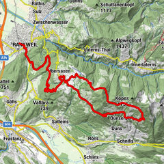
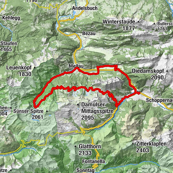
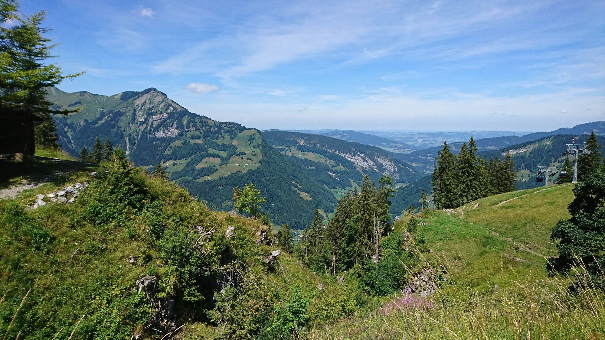
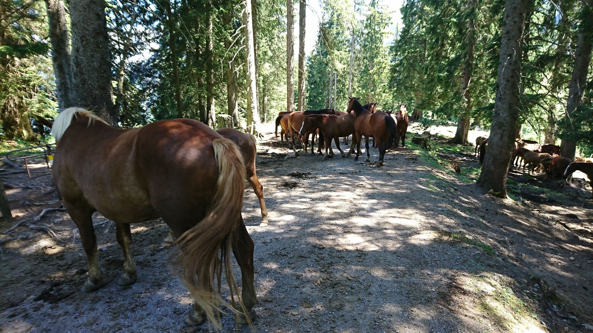
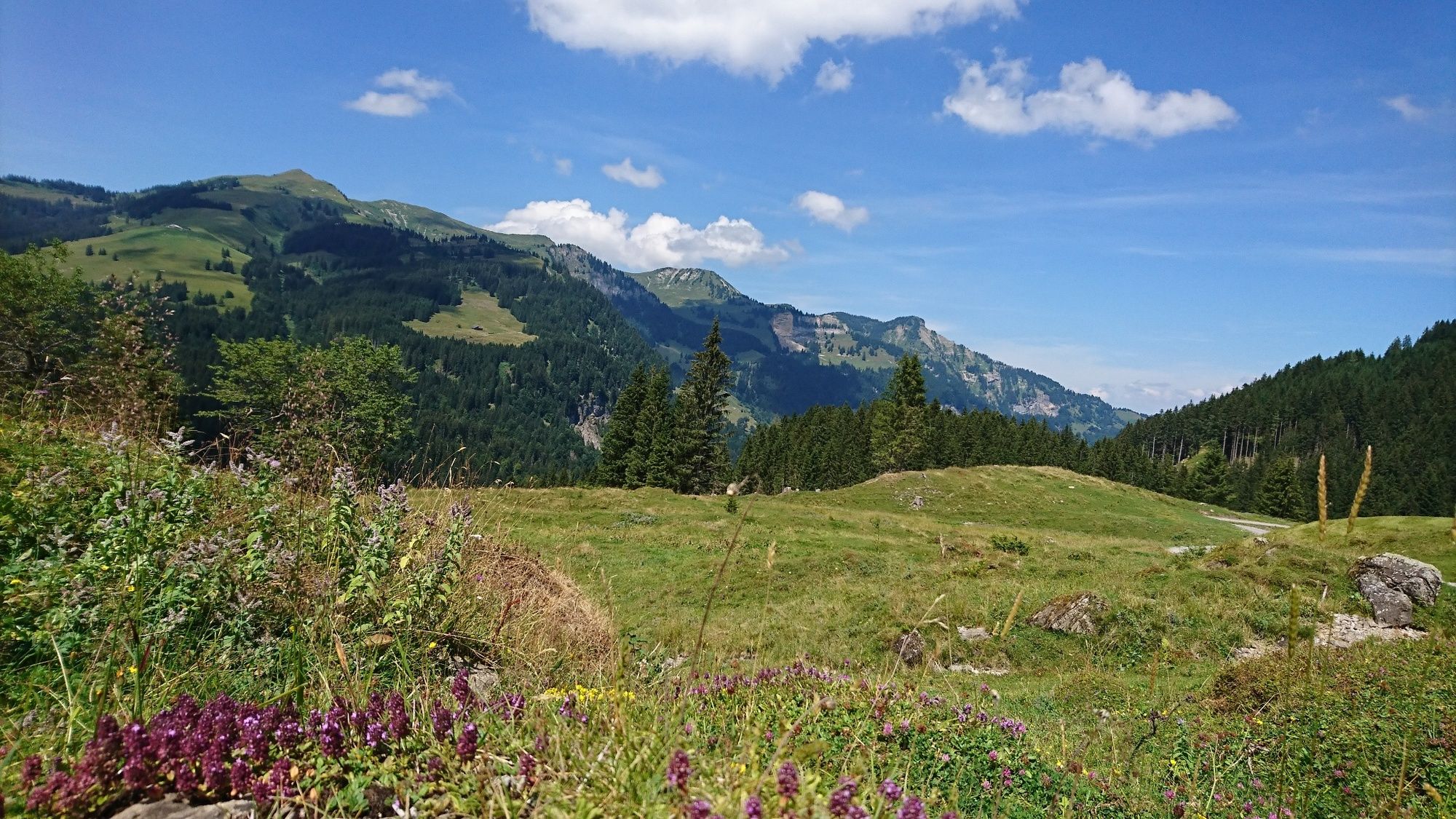
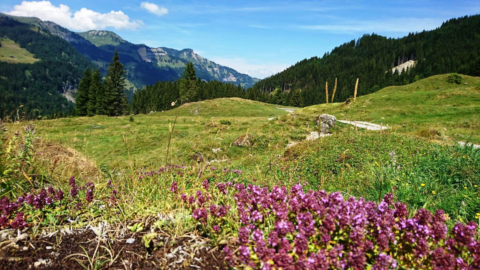
Au - Straße Richtung Damüls - Alpengasthof Edelweiß - Wurzachalpe - Roßstelle - Wildguntenalpe - Mösle - Bleichtenalpe - Hauseralpe - Lindachalpe - Mellental - Mellau - dem Radweg entlang nach Au
- Stopień trudności
-
średni
- Ocena
-
- Trasa
-
Lisse0,5 kmAu (800 m)0,5 kmArgenzipfel1,6 kmAlpengasthof Edelweiss8,0 kmJausestation Obere Alpe9,0 kmWurzach9,8 kmJausenstation Wurzachalpe9,9 kmBergrestaurant Simma12,9 kmRoßstelle12,9 kmAlphof Rossstelle13,0 kmHintere Bleichten20,8 kmHauser-Alpe22,1 kmLindach Alpe23,5 kmDös29,5 kmBengath30,1 kmUnterrain30,9 kmEggbühel31,4 kmMellau31,5 kmIslen31,6 kmMoos31,6 kmPfarrkirche Mellau31,8 kmPlatz31,9 kmNaze's Hus32,0 kmTempel32,0 kmAchsiedlung32,2 kmHinterbündt32,3 kmTanna33,1 kmEnge34,2 kmLourdeskapelle35,5 kmKapelle Hl. Martin35,5 kmHirschau35,9 kmSchnepfau37,7 kmPfarrkirche Schnepfau37,8 kmBühlenvorsäß39,5 kmLisse43,0 kmAu (800 m)43,0 km
- Najlepszy sezon
-
stylutmarkwimajczelipsiewrzpaźlisgru
- Najwyższy punkt
- 1.637 m
- Miejsce docelowe
-
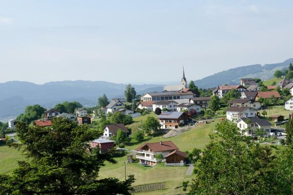
Tourist Office Au
- Profil wysokości
-


- Autor
-
Wycieczka Around the Kansifluh jest używany przez outdooractive.com pod warunkiem.
GPS Downloads


Informacje ogólne
Przystanek odświeżania
Obiecujący
Więcej wycieczek w regionach