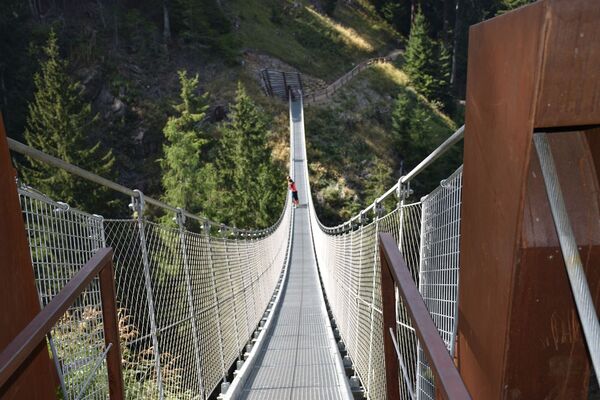
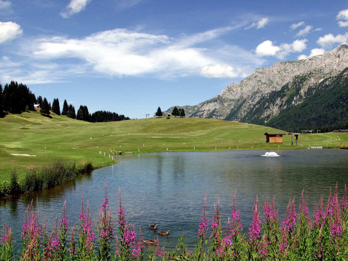
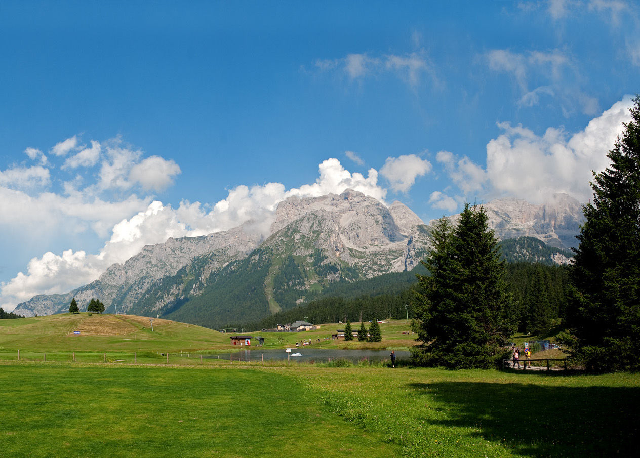
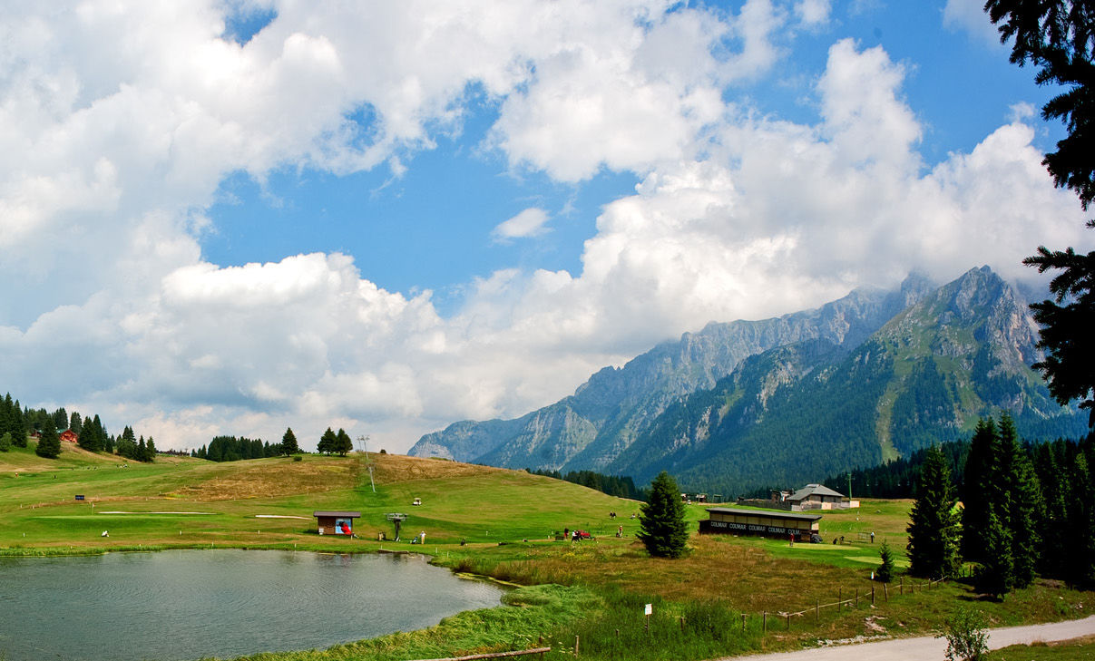
© APT - Madonna di Campiglio, Pinzolo, Val Rendena - fototeca ApT Madonna di Campiglio Pinzolo Val Rendena
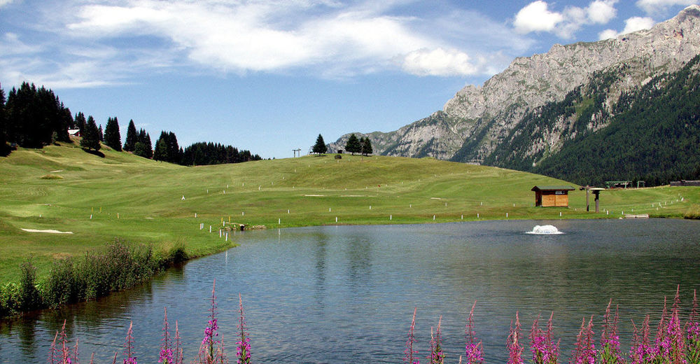
© APT - Madonna di Campiglio, Pinzolo, Val Rendena - R.Patti
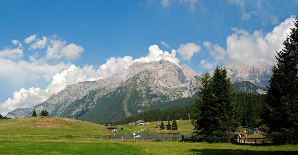
© APT - Madonna di Campiglio, Pinzolo, Val Rendena - R.Patti
Dane wycieczki
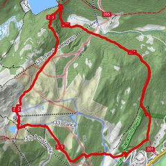
6,83km
1.631
- 2.071m
40hm
428hm
02:35h
- Krótki opis
-
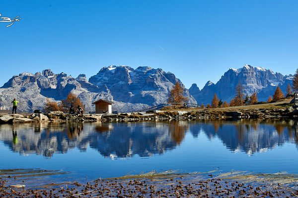
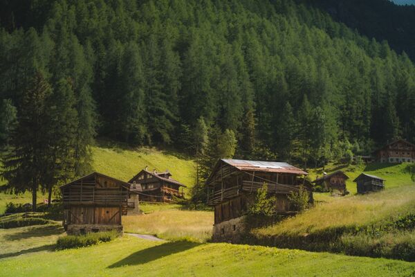
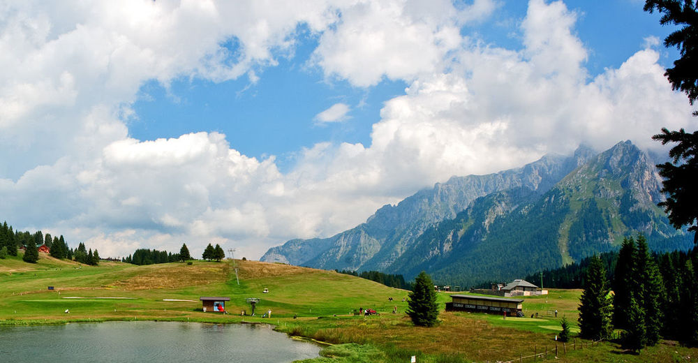
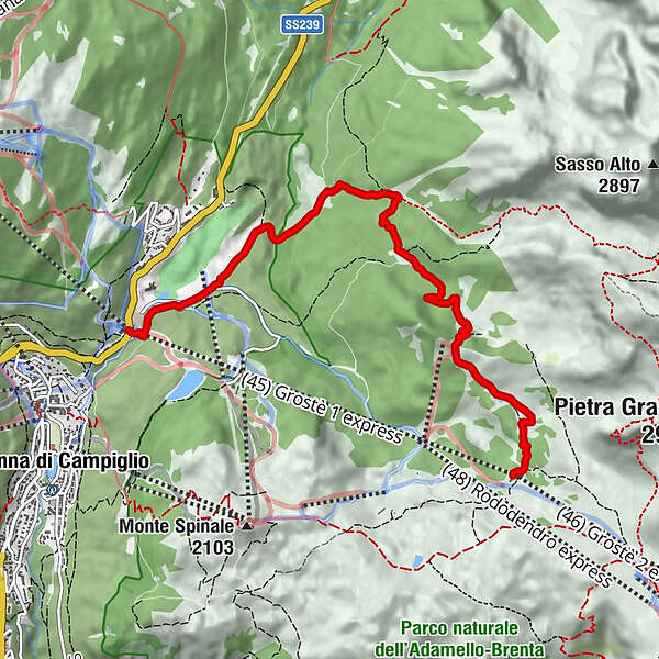
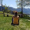
Easy route among woods and pastures, that reaches three typical alpine huts at the foot of the Dolomites. Option to use the lifts for a high-altitude start, or head out on foot from the valley floor.
- Stopień trudności
-
łatwe
- Ocena
-
- Trasa
-
Malga Vagliana1,9 kmMalga Vaglianella3,1 kmMalga Mondifrà4,5 kmFortini6,8 km
- Najlepszy sezon
-
stylutmarkwimajczelipsiewrzpaźlisgru
- Najwyższy punkt
- 2.071 m
- Miejsce docelowe
-
Loc. Fortini area (at the Grostè cableway departure)
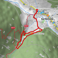
- Profil wysokości
-
 © outdooractive.com
-
-
AutorWycieczka Vagliana and Vaglianella alpine huts jest używany przez outdooractive.com pod warunkiem.
GPS Downloads


Informacje ogólne
Przystanek odświeżania
Fauna
Więcej wycieczek w regionach