- Krótki opis
-
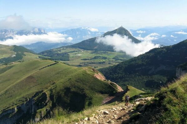
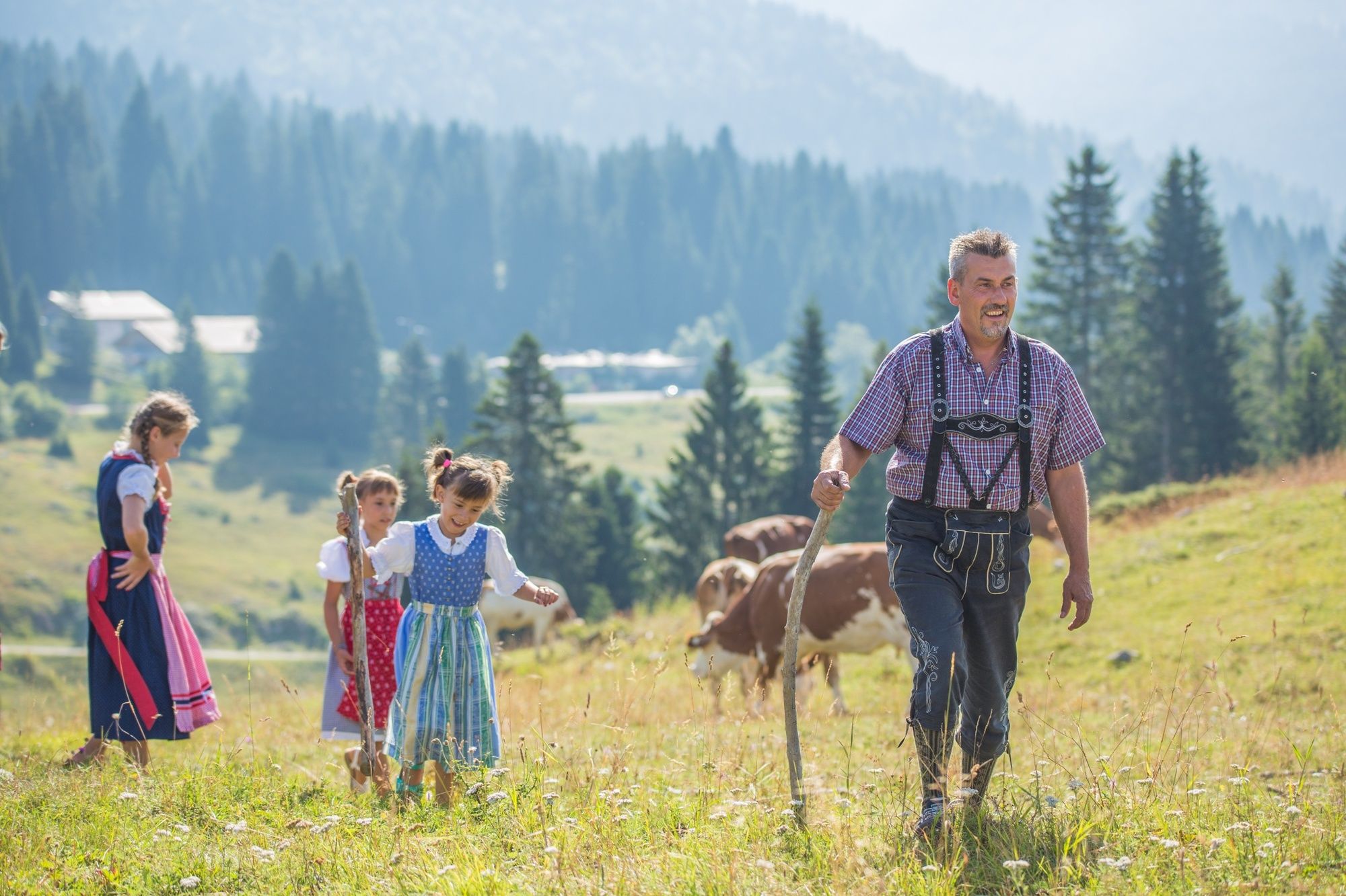
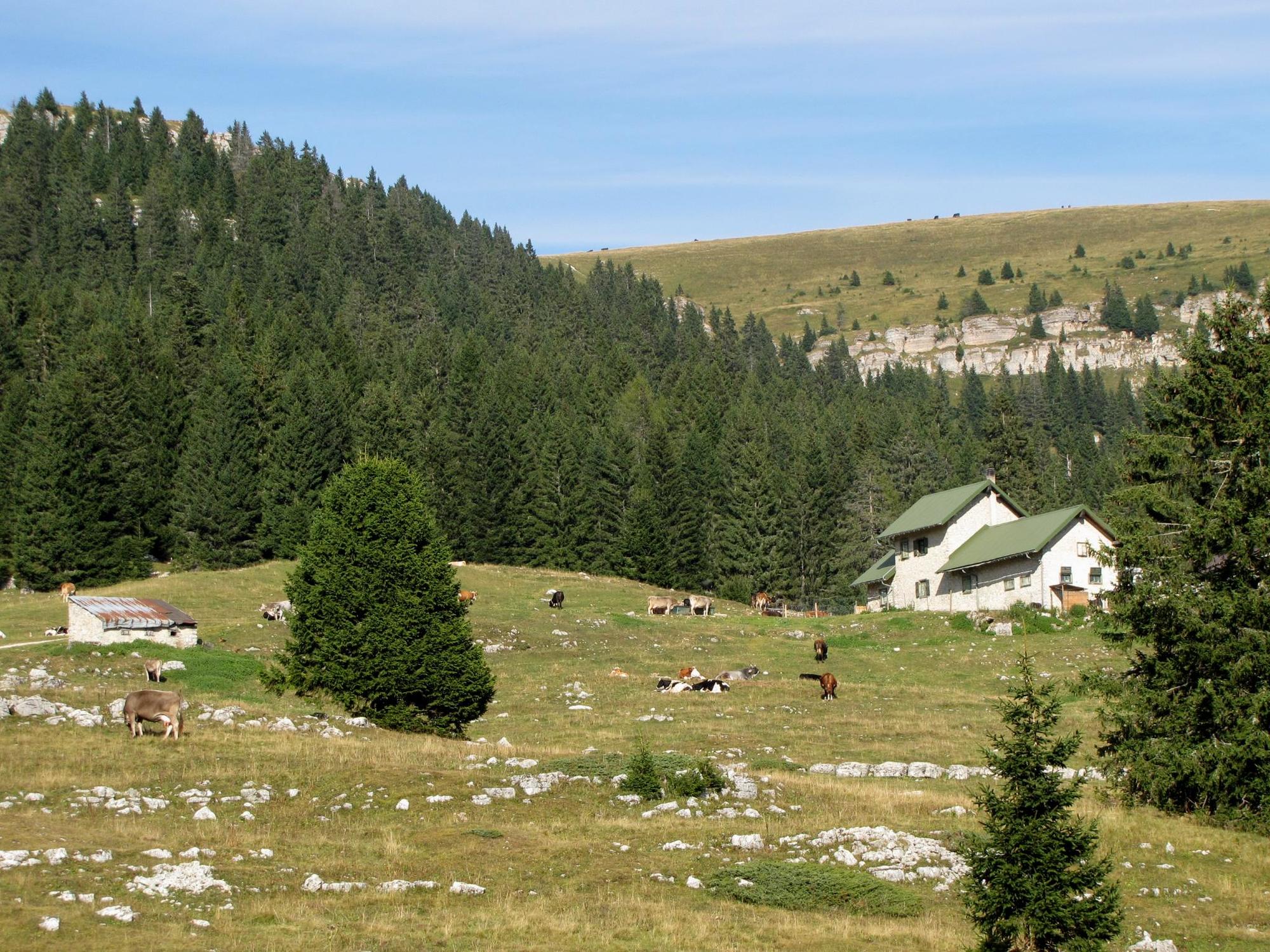
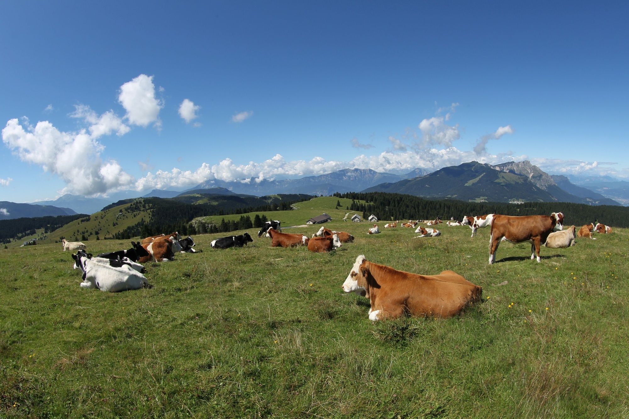
We are located in the Alpe di Passo Coe area, 10 km from Folgaria, near the border with Veneto. Malga Piovernetta is one of the historic malghe (mountain pasture stables) of the Magnifica Comunità di Folgaria. Still standing today, it overlooks the descending stretch of the pass, towards the Val dei Campiluzzi. Set in a beautiful alpine setting, it is an easily accessible vantage point.
- Stopień trudności
-
łatwe
- Ocena
-
- Najlepszy sezon
-
stylutmarkwimajczelipsiewrzpaźlisgru
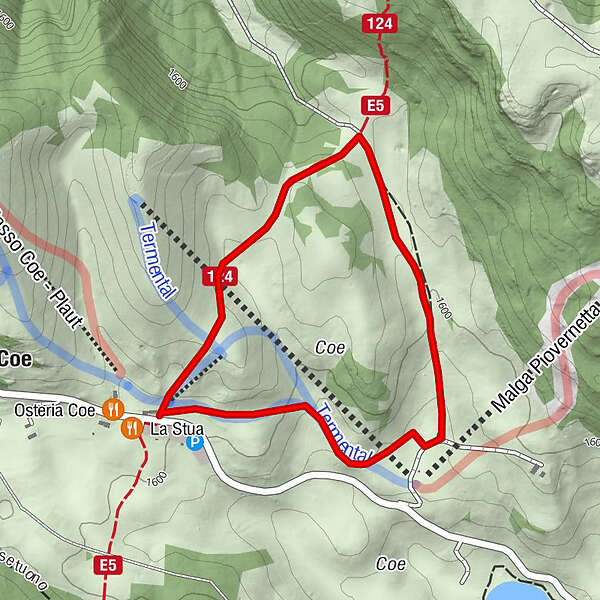
- Najwyższy punkt
- 1.626 m
- Miejsce docelowe
-
Passo Coe
- Profil wysokości
-
 © outdooractive.com
- Autor
-
Wycieczka 25 - Piovernetta tour jest używany przez outdooractive.com pod warunkiem.
GPS Downloads


Informacje ogólne
Uzdrawiający klimat
Kulturalny/Historyczny
Flora
Obiecujący
Więcej wycieczek w regionach