© APT - Alpe Cimbra - Apt Alpe Cimbra

© Community

© APT - Alpe Cimbra - Baroni

© APT - Alpe Cimbra - MvHattem

© APT - Alpe Cimbra - Contrini
- Krótki opis
-
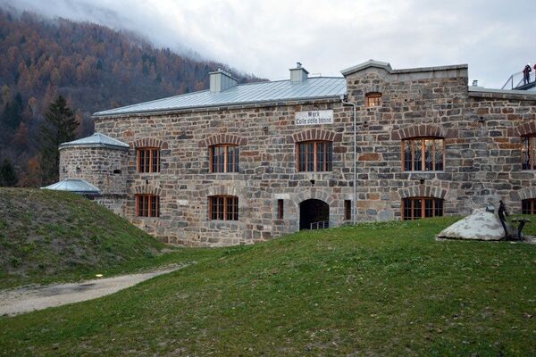
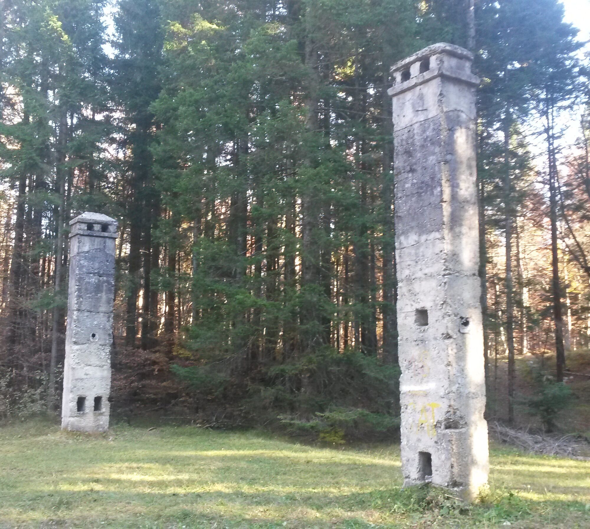
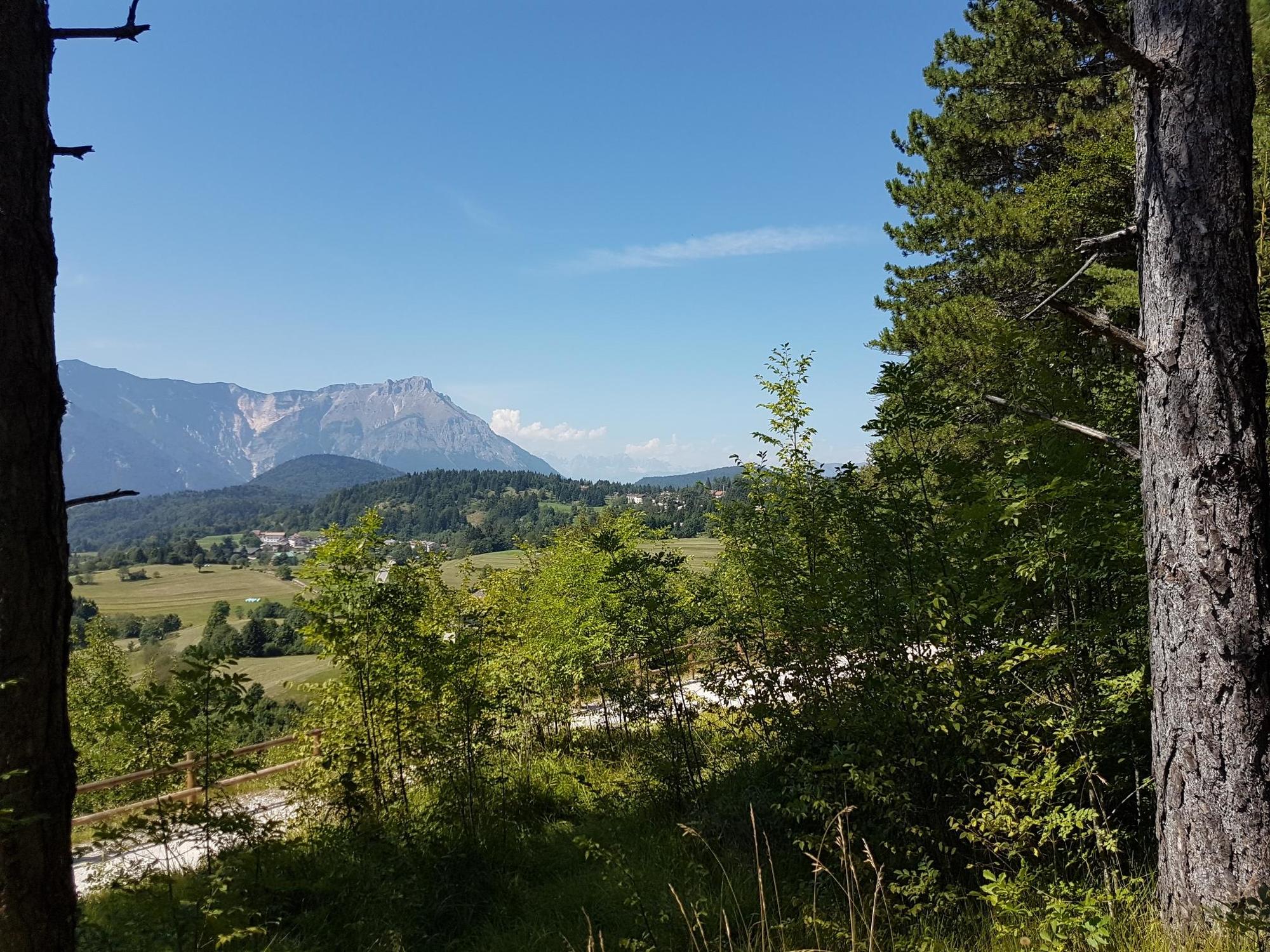
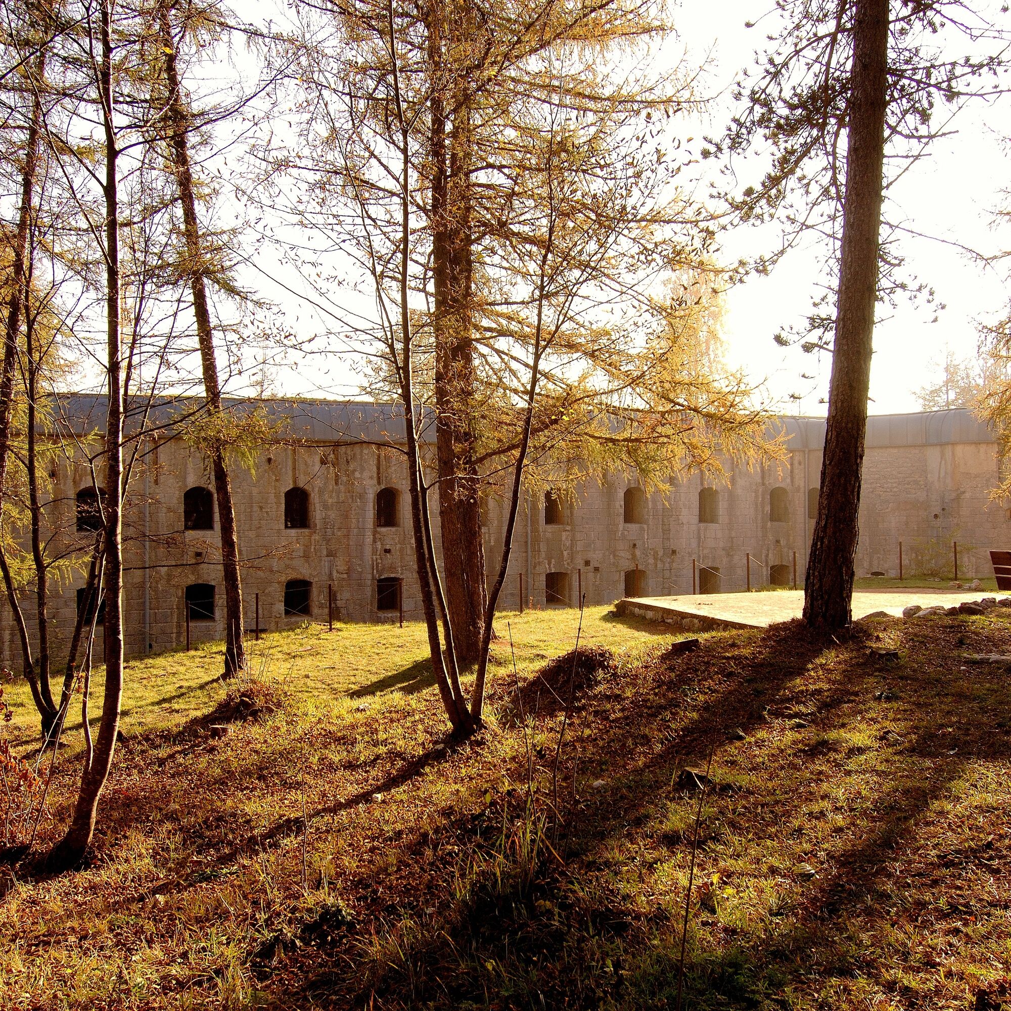
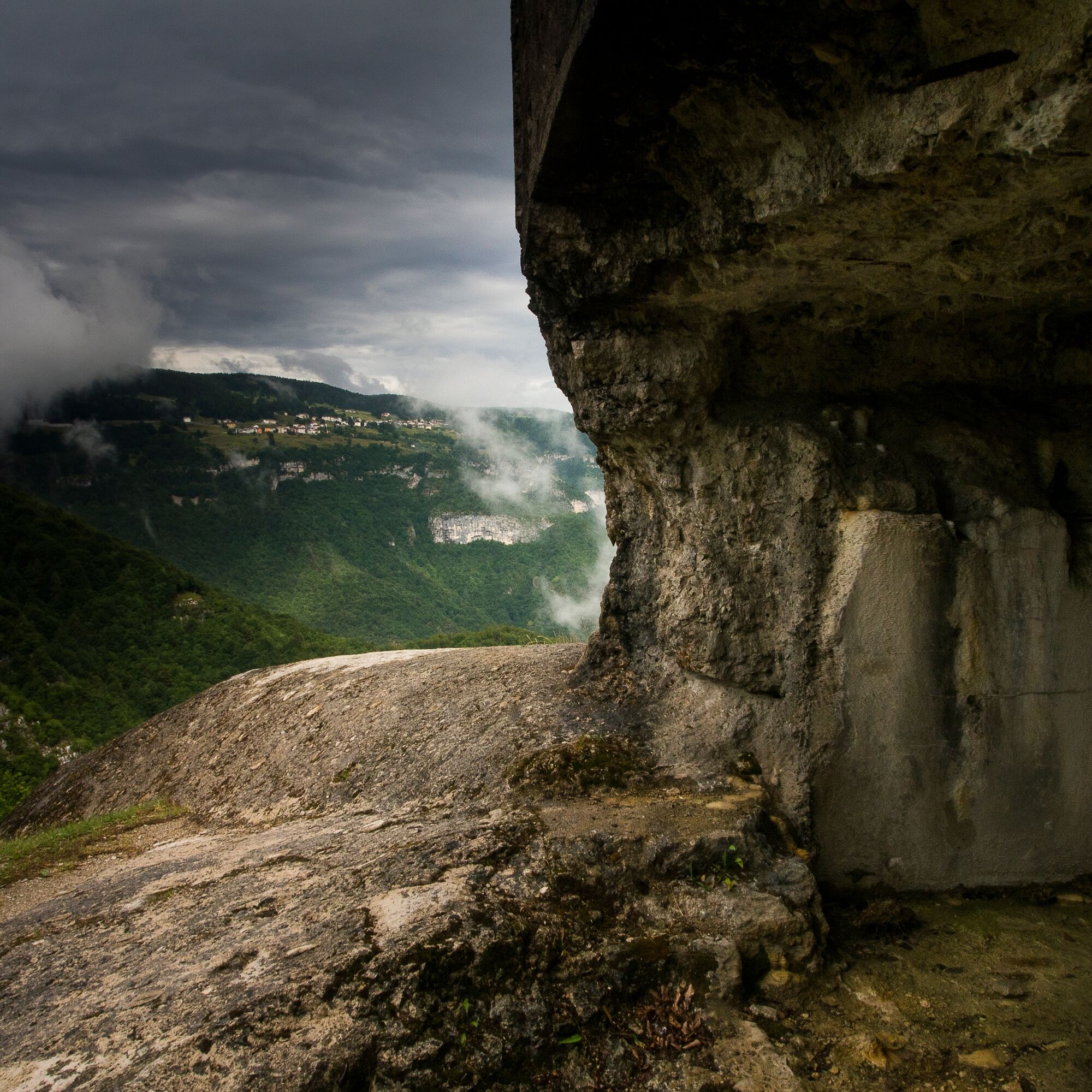
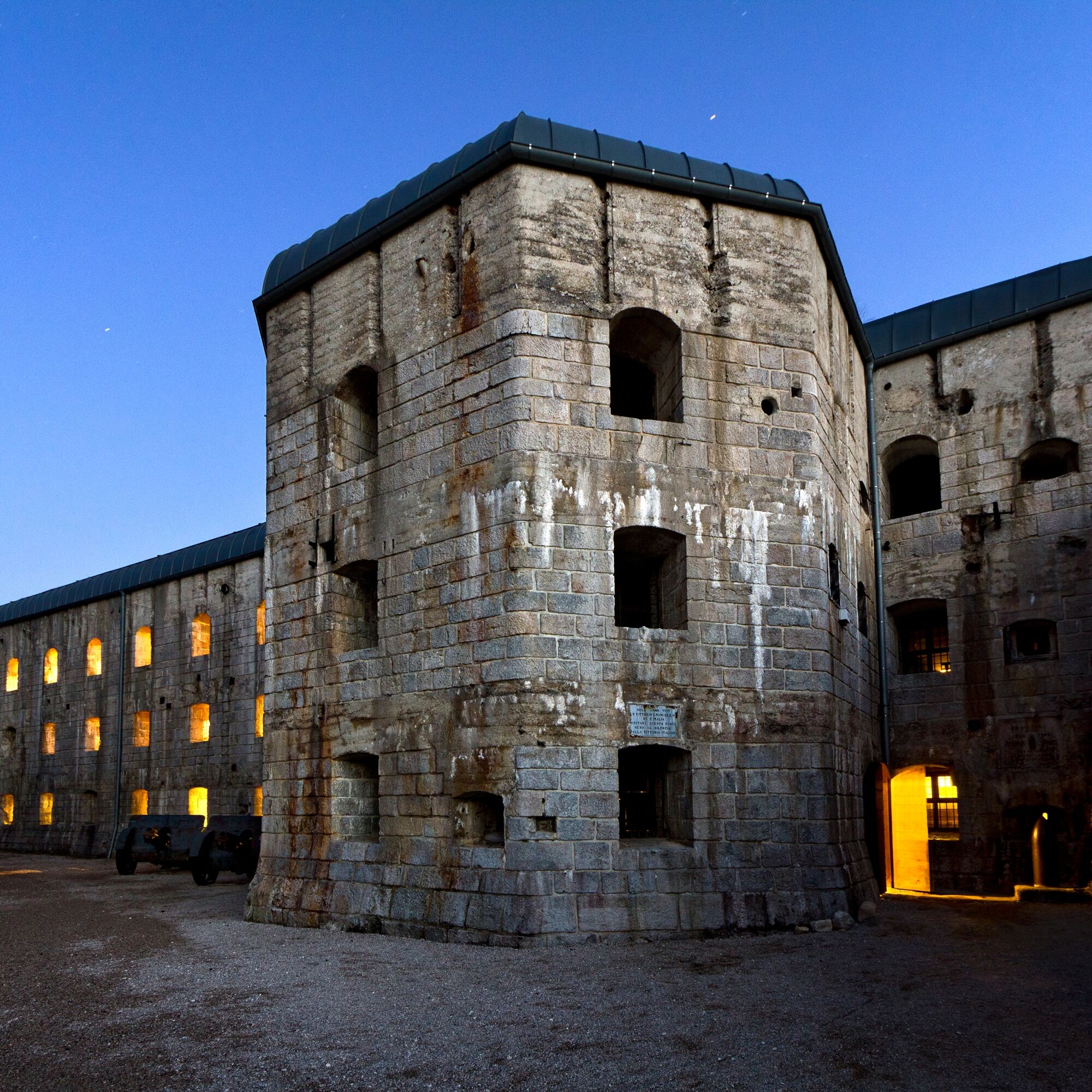
During the First World War (1914-1918), the area around Fort Belvedere Gschwent was occupied by various logistical service structures, including, on the slope up towards the Cost pass, a barrack used as a bread oven. Only the tall concrete chimneys remain of the structure, hence the name of the locality, Camini.
- Stopień trudności
-
łatwe
- Ocena
-
- Trasa
-
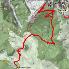
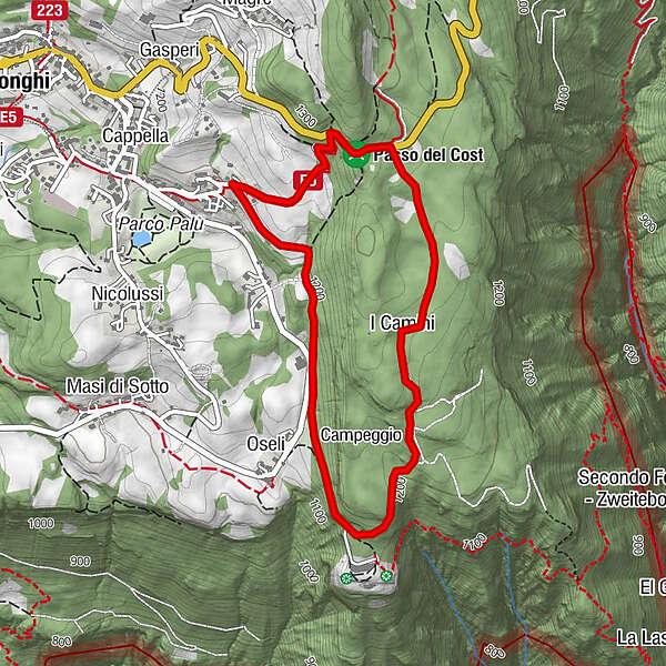
I Camini1,6 kmLonghi3,4 km
- Najlepszy sezon
-
stylutmarkwimajczelipsiewrzpaźlisgru
- Najwyższy punkt
- 1.303 m
- Miejsce docelowe
-
Straße nach Forte Belvedere
- Profil wysokości
-
 © outdooractive.com
-

-
AutorWycieczka Tour of the Chimneys jest używany przez outdooractive.com pod warunkiem.
GPS Downloads


Informacje ogólne
Kulturalny/Historyczny
Obiecujący
Więcej wycieczek w regionach