
© Unbekannt - Alpe Cimbra

© Unbekannt - Apt Alpe Cimbra

© Unbekannt - Apt Alpe Cimbra

© Unbekannt - Apt Alpe Cimbra

© APT - Alpe Cimbra - Contrini
- Krótki opis
-
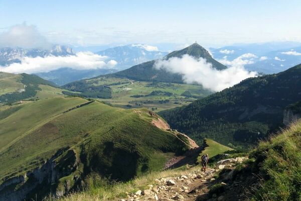
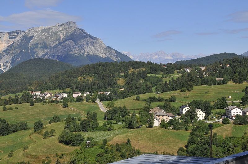
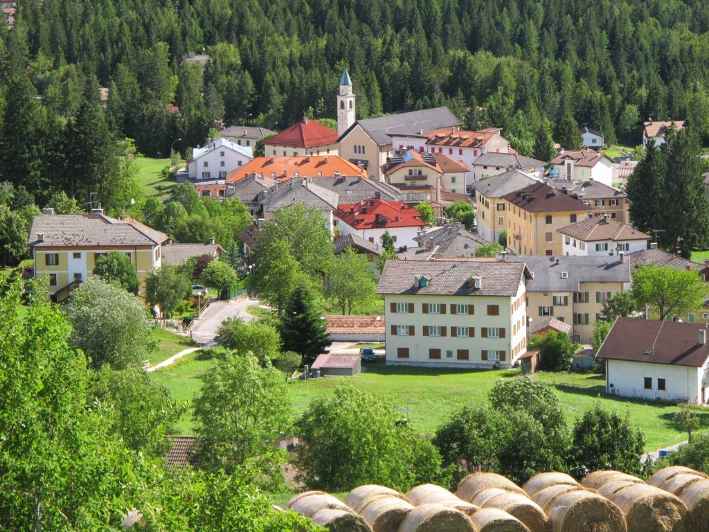
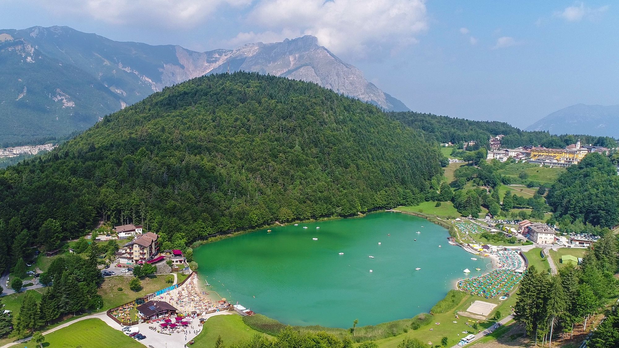
Lavarone Trekking is a path of circular shape joining the fringe hamlets of the plateau togheter and connecting them to the central villages and vice versa.
- Stopień trudności
-
średni
- Ocena
-
- Trasa
-
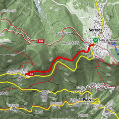
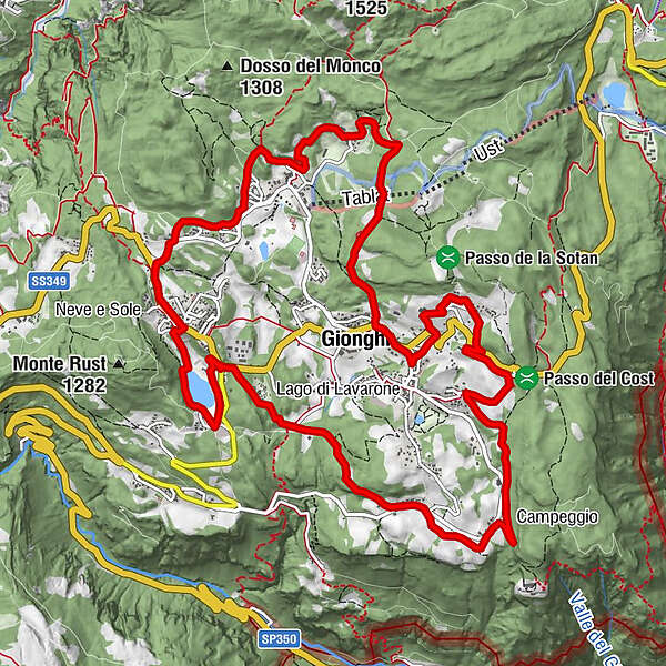
GionghiCappella0,3 kmGasperi0,7 kmMagrè1,5 kmLonghi3,0 kmOseli4,7 kmMasi di Sotto5,5 kmChiesa9,5 kmLanzino10,7 kmStengheli11,1 kmBertoldi12,0 kmSlaghenaufi12,8 kmGionghi15,1 km
- Najlepszy sezon
-
stylutmarkwimajczelipsiewrzpaźlisgru
- Najwyższy punkt
- 1.311 m
- Profil wysokości
-
 © outdooractive.com


- Autor
-
Wycieczka Lavarone Trekking jest używany przez outdooractive.com pod warunkiem.
GPS Downloads


Informacje ogólne
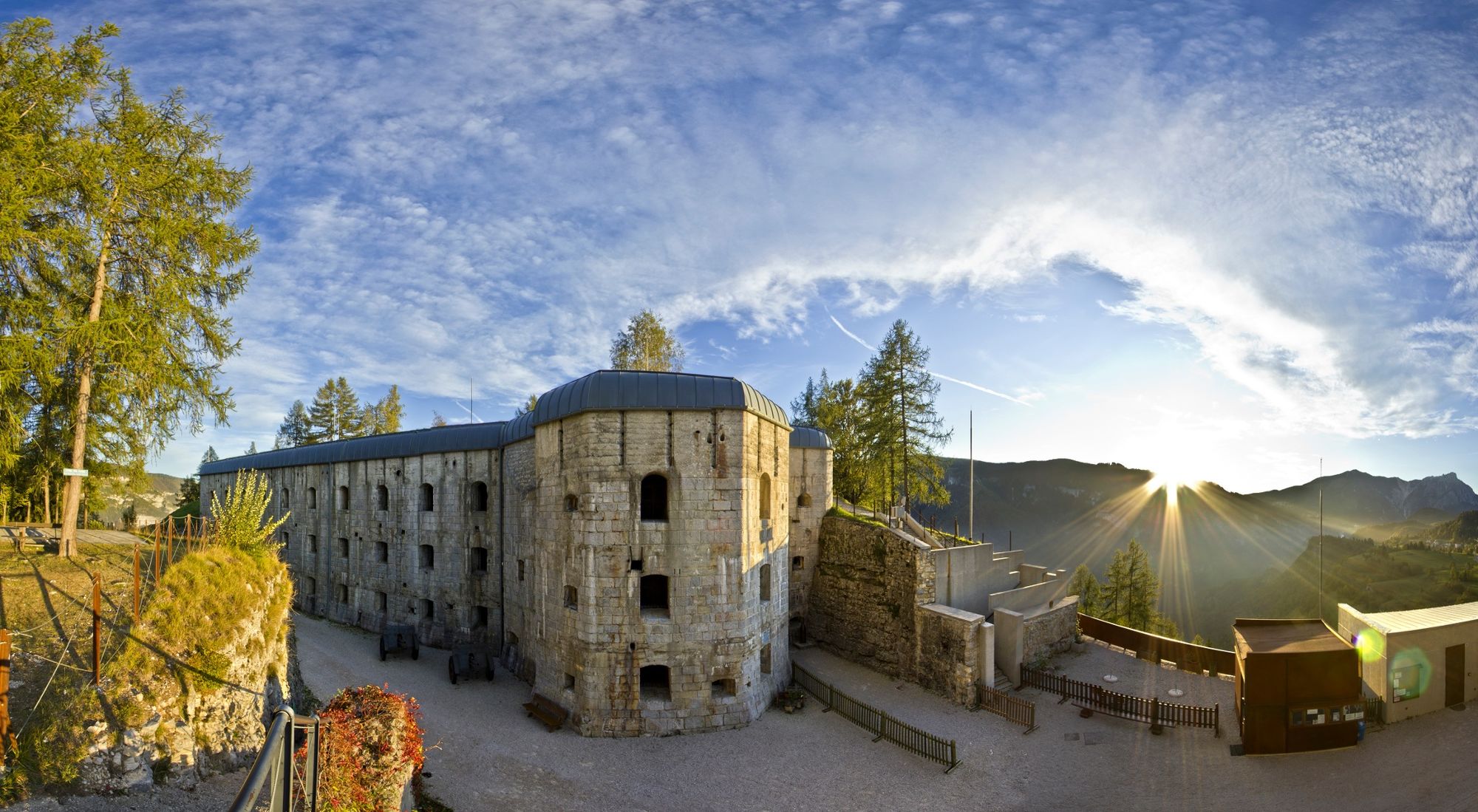
Uzdrawiający klimat
Kulturalny/Historyczny
Obiecujący
Więcej wycieczek w regionach