© Rete di Riserve Val di Cembra Avisio - Patrick Odorizzi

© Rete di Riserve Val di Cembra Avisio - Patrick Odorizzi

© Rete di Riserve Val di Cembra Avisio - Paolo Piffer

© Rete di Riserve Val di Cembra Avisio - Paolo Piffer

© Rete di Riserve Val di Cembra Avisio - Paolo Piffer

© Rete di Riserve Val di Cembra Avisio - Alessandro Cristofoletti

© Rete di Riserve Val di Cembra Avisio - Alessandro Cristofoletti

- Krótki opis
-
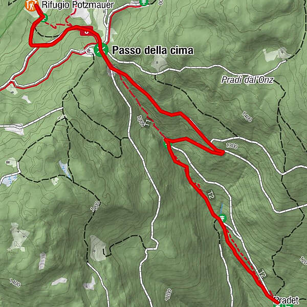
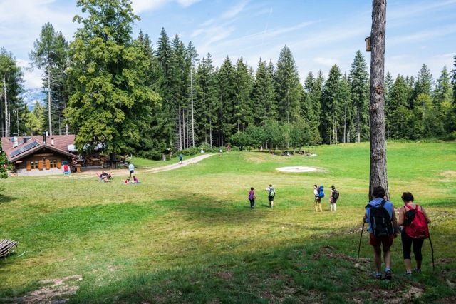
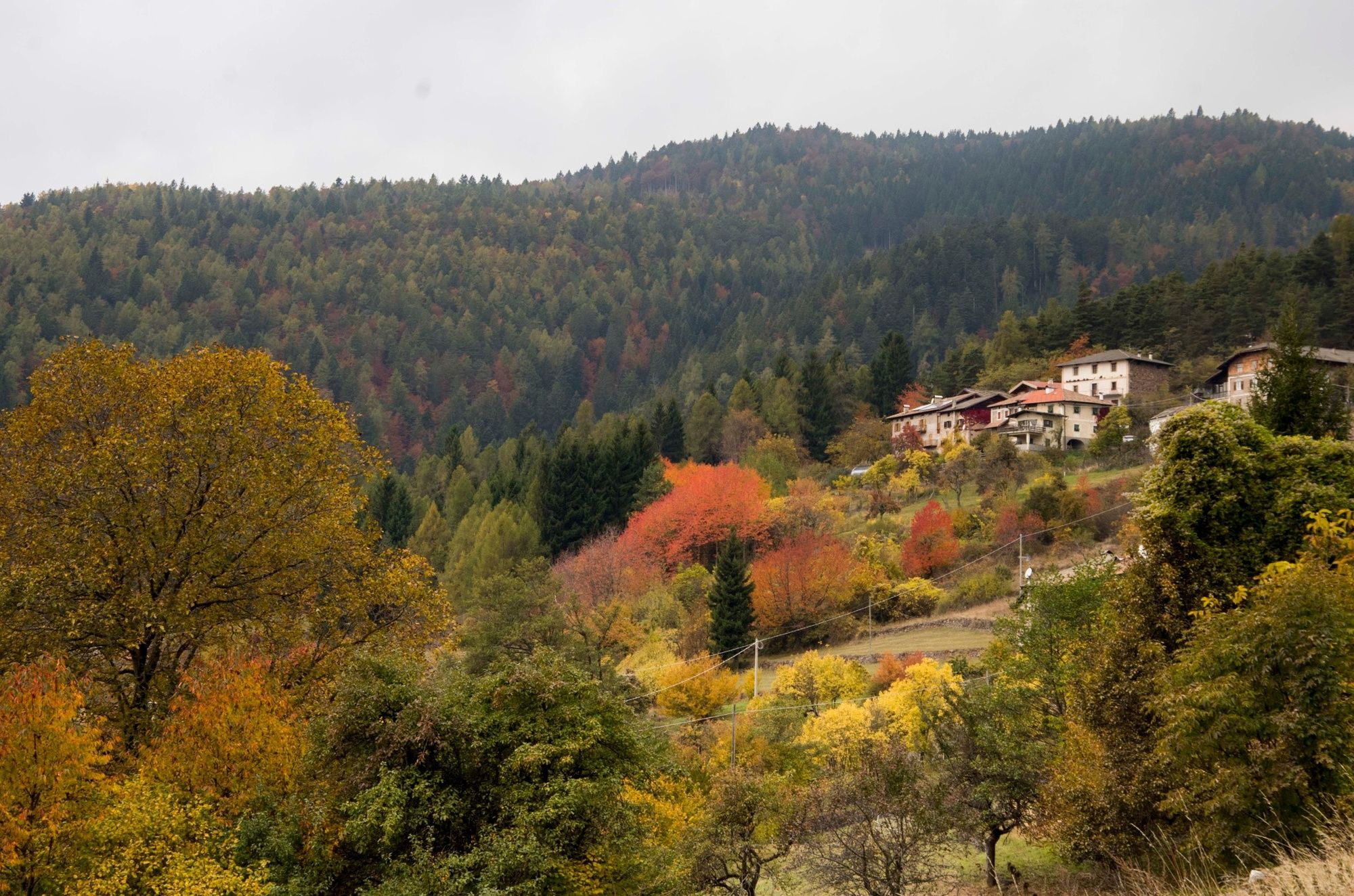
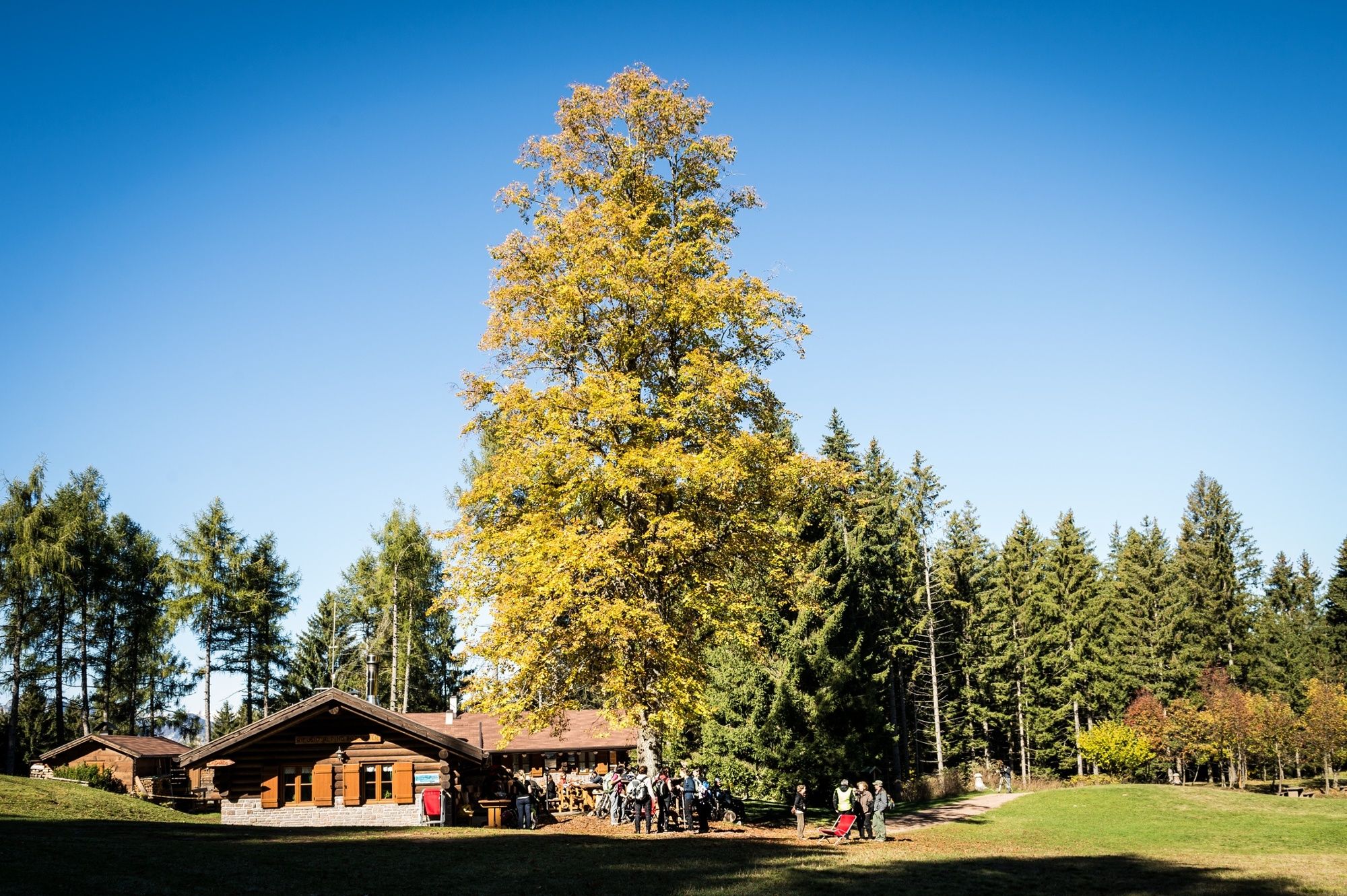
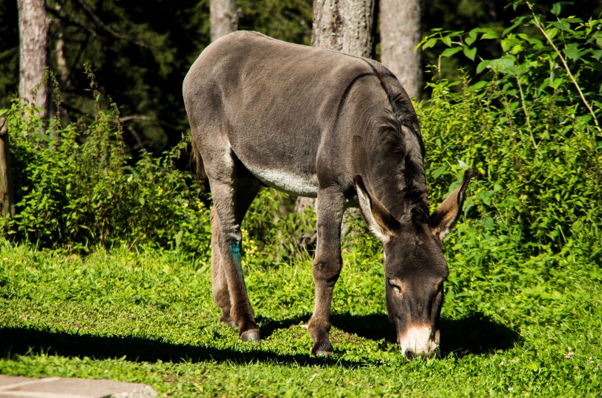
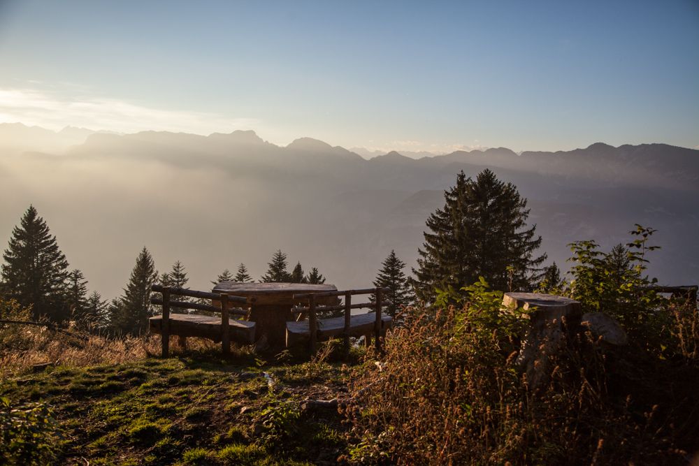
Trail from the farms Masi di Grumes to the mountain hut Potzmauer, the hut into the woods.
- Stopień trudności
-
łatwe
- Ocena
-
- Trasa
-
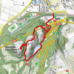
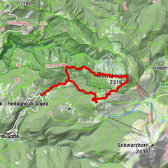
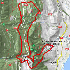
PradetRifugio Potzmauer2,4 kmPradet4,9 km
- Najlepszy sezon
-
stylutmarkwimajczelipsiewrzpaźlisgru
- Najwyższy punkt
- 1.351 m
- Miejsce docelowe
-
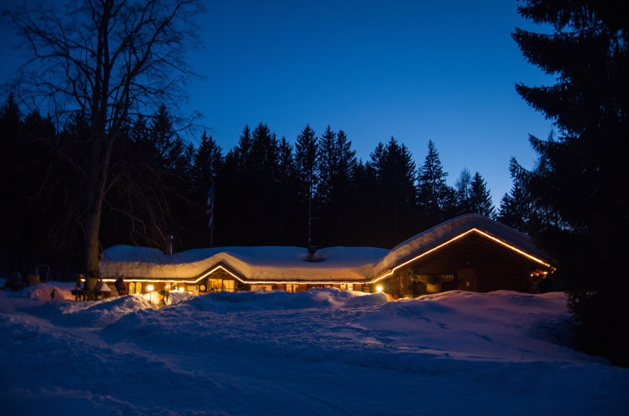
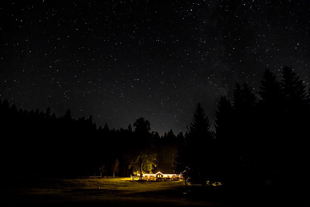
Rifugio Potzmauer (mountain hut)
- Profil wysokości
-
 © outdooractive.com
-

-
AutorWycieczka Hike to the mountain hut Potzmauer. jest używany przez outdooractive.com pod warunkiem.
GPS Downloads


Informacje ogólne
Przystanek odświeżania
Więcej wycieczek w regionach