
- Krótki opis
-
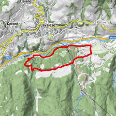
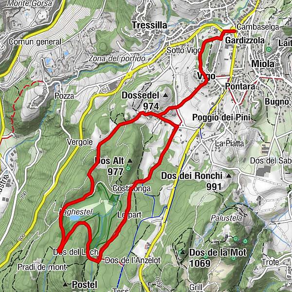
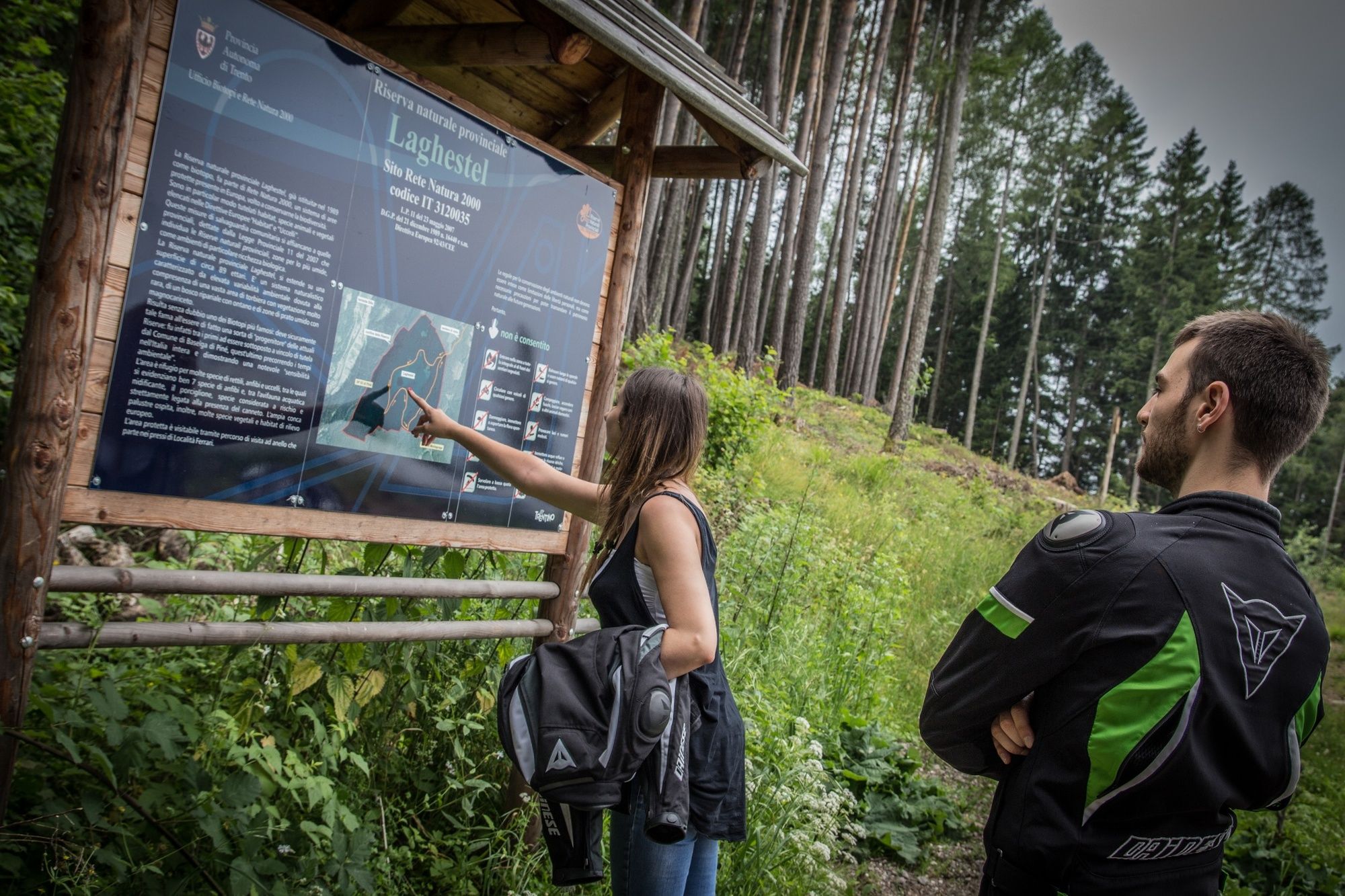
Most of this ring route takes place within a protected wetland area called 'Laghestel'. There are no difficult sections on this route, and the differences in height are minor.
- Stopień trudności
-
łatwe
- Ocena
-
- Trasa
-
Mühlen im PineidBaselga di PinéGardizzolaVigo0,7 kmFerrari1,3 kmPianaci3,7 kmLe part4,3 kmCostalonga4,6 kmFerrari5,5 km
- Najlepszy sezon
-
stylutmarkwimajczelipsiewrzpaźlisgru
- Najwyższy punkt
- 972 m
- Miejsce docelowe
-
Baselga di Piné
- Profil wysokości
-
 © outdooractive.com
- Autor
-
Wycieczka Ring route within the Laghestel Nature Reserve jest używany przez outdooractive.com pod warunkiem.
GPS Downloads


Informacje ogólne
Flora
Fauna
Obiecujący
Więcej wycieczek w regionach