© Garda Trentino - Stefania Oradini

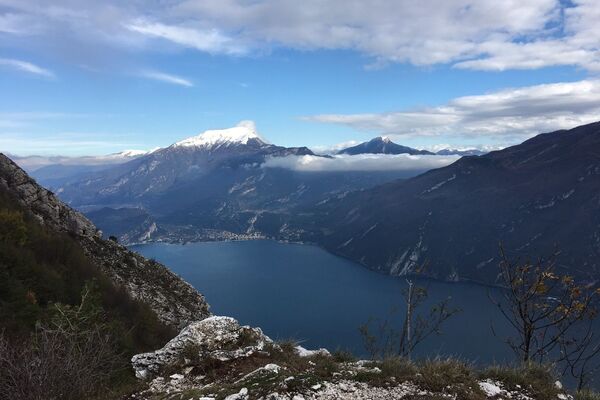
© Garda Trentino - Bruno Ferrari

© Garda Trentino - Staff Outdoor Garda Trentino AC

© Garda Trentino - Staff Outdoor Garda Trentino AC

© Garda Trentino - Staff Outdoor Garda Trentino AC

© Garda Trentino - Staff Outdoor Garda Trentino AC

- Krótki opis
-
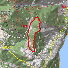
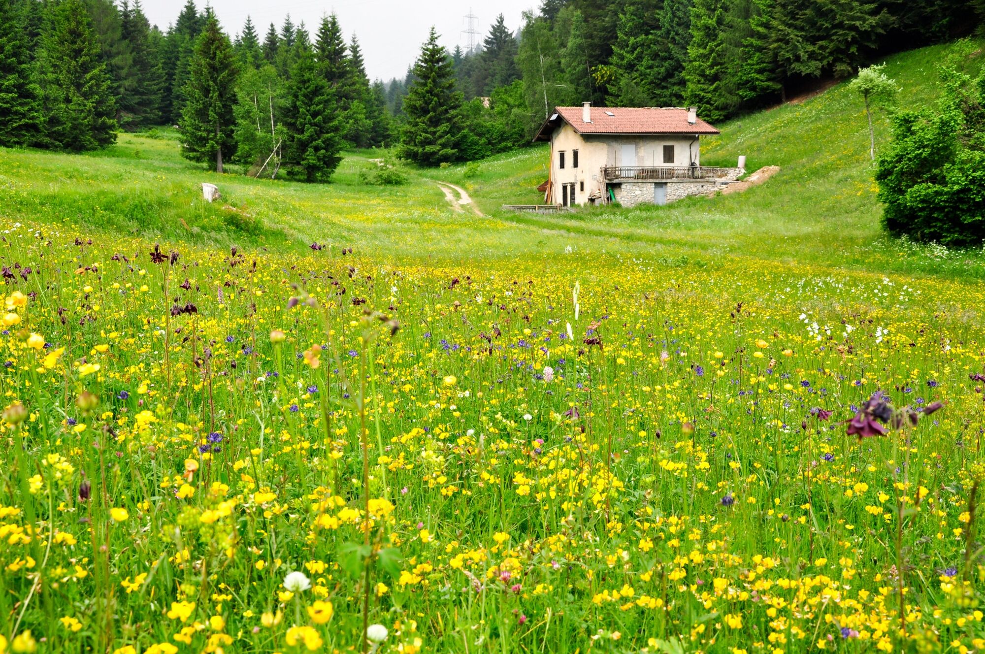
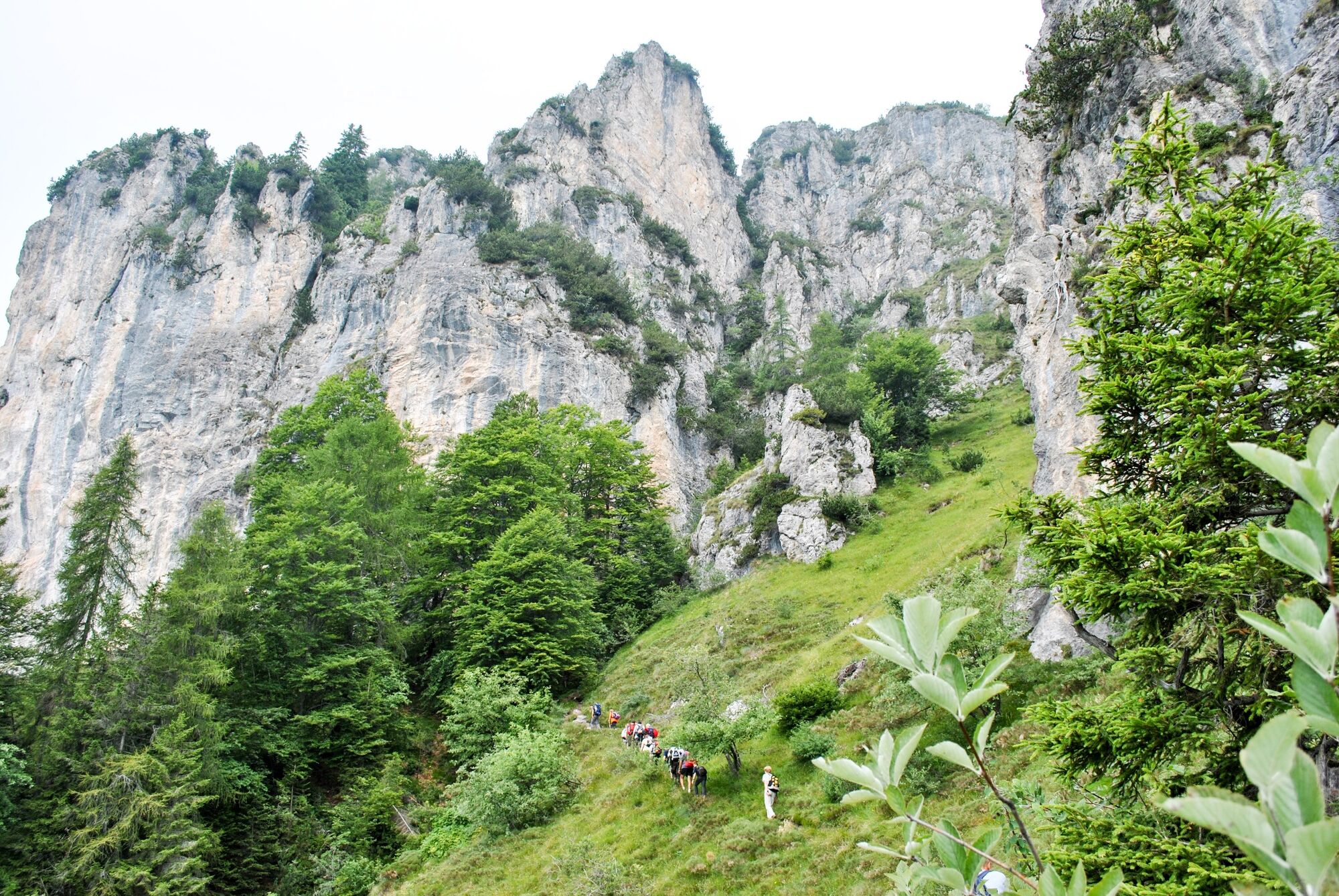
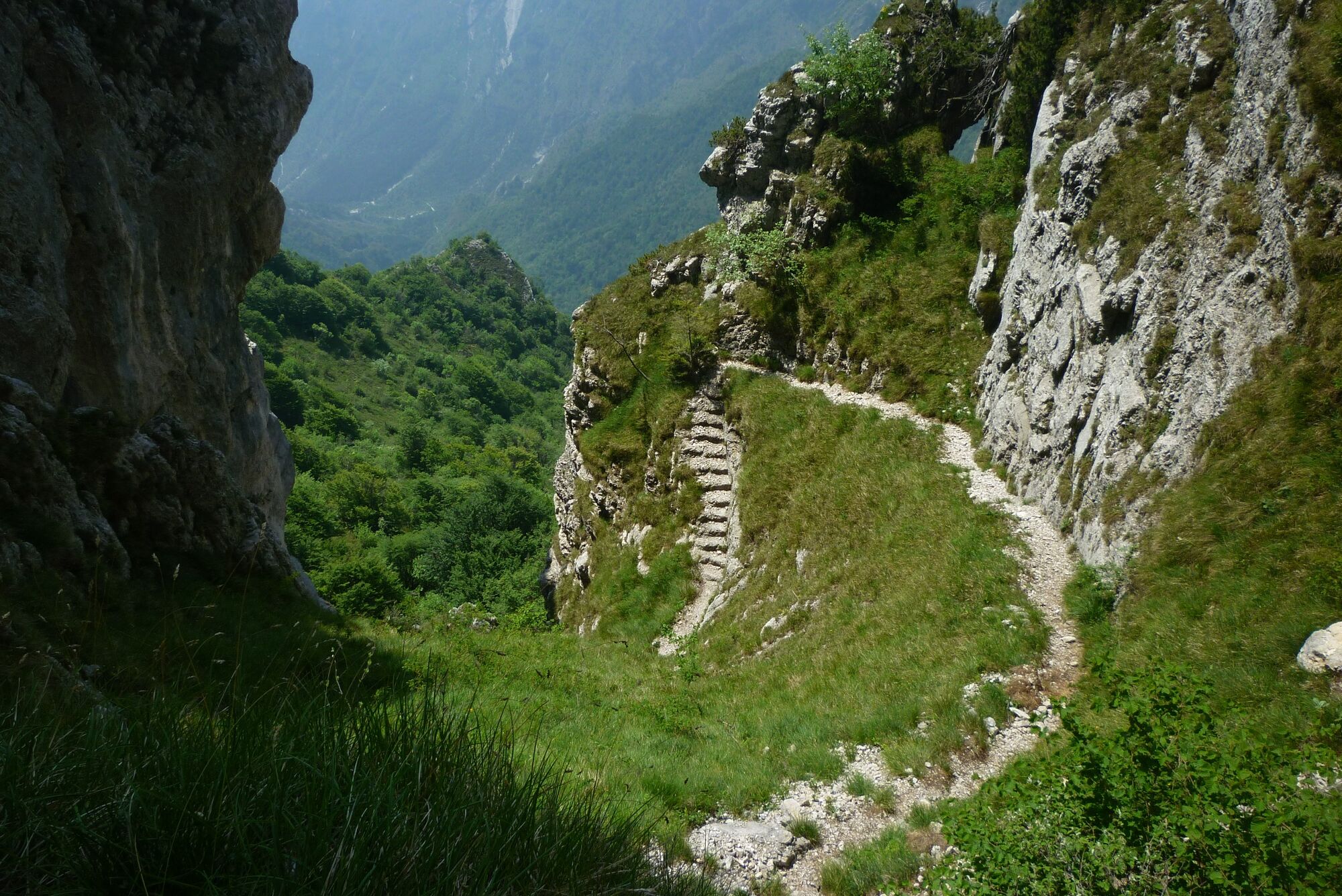
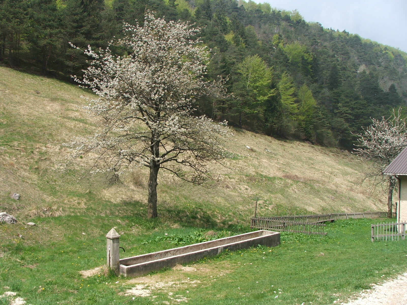
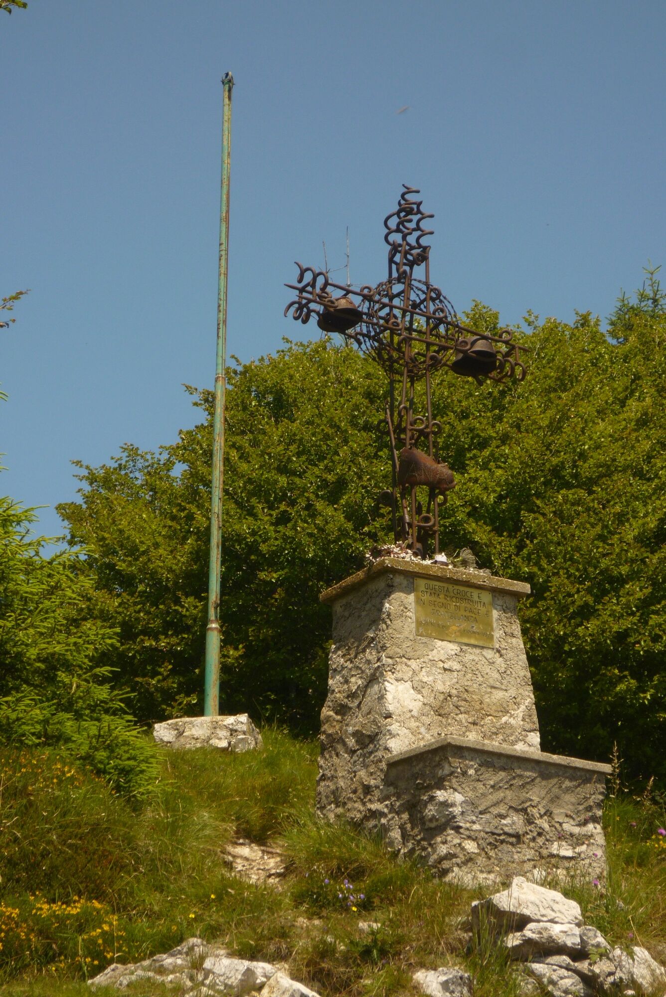
Circular route that runs along the border between Trentino and Lombardy, once the last frontier of the Habsburg Empire, as is testified by the military fortifications that are to be seen along the way.
- Stopień trudności
-
ciężkie
- Ocena
-
- Trasa
-
chiesa di San Giacomo Maggiore0,0 kmPrè di Ledro0,1 kmMonte Carone (1.621 m)7,0 kmLeano (888 m)11,8 kmChiesa di Sant'Antonio11,8 kmPrè di Ledro14,7 kmchiesa di San Giacomo Maggiore14,8 km
- Najlepszy sezon
-
stylutmarkwimajczelipsiewrzpaźlisgru
- Najwyższy punkt
- 1.611 m
- Miejsce docelowe
-
Monte Carone
- Profil wysokości
-
 © outdooractive.com
-

-
AutorWycieczka Monte Carone jest używany przez outdooractive.com pod warunkiem.
GPS Downloads


Informacje ogólne
Przystanek odświeżania
Kulturalny/Historyczny
Obiecujący
Więcej wycieczek w regionach
-
Gardasee / Lombardei
437
-
Valle di Ledro
567
-
Prè di Ledro
287