© Hotel CYPRIANERHOF - Cyprianerhof Dolomit Resort

© Hotel CYPRIANERHOF - Cyprianerhof Dolomit Resort

© Hotel CYPRIANERHOF - Cyprianerhof Dolomit Resort

© Hotel CYPRIANERHOF - Cyprianerhof Dolomit Resort

- Krótki opis
-
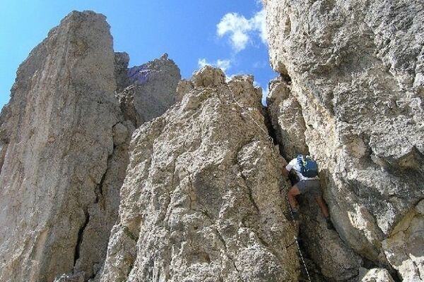
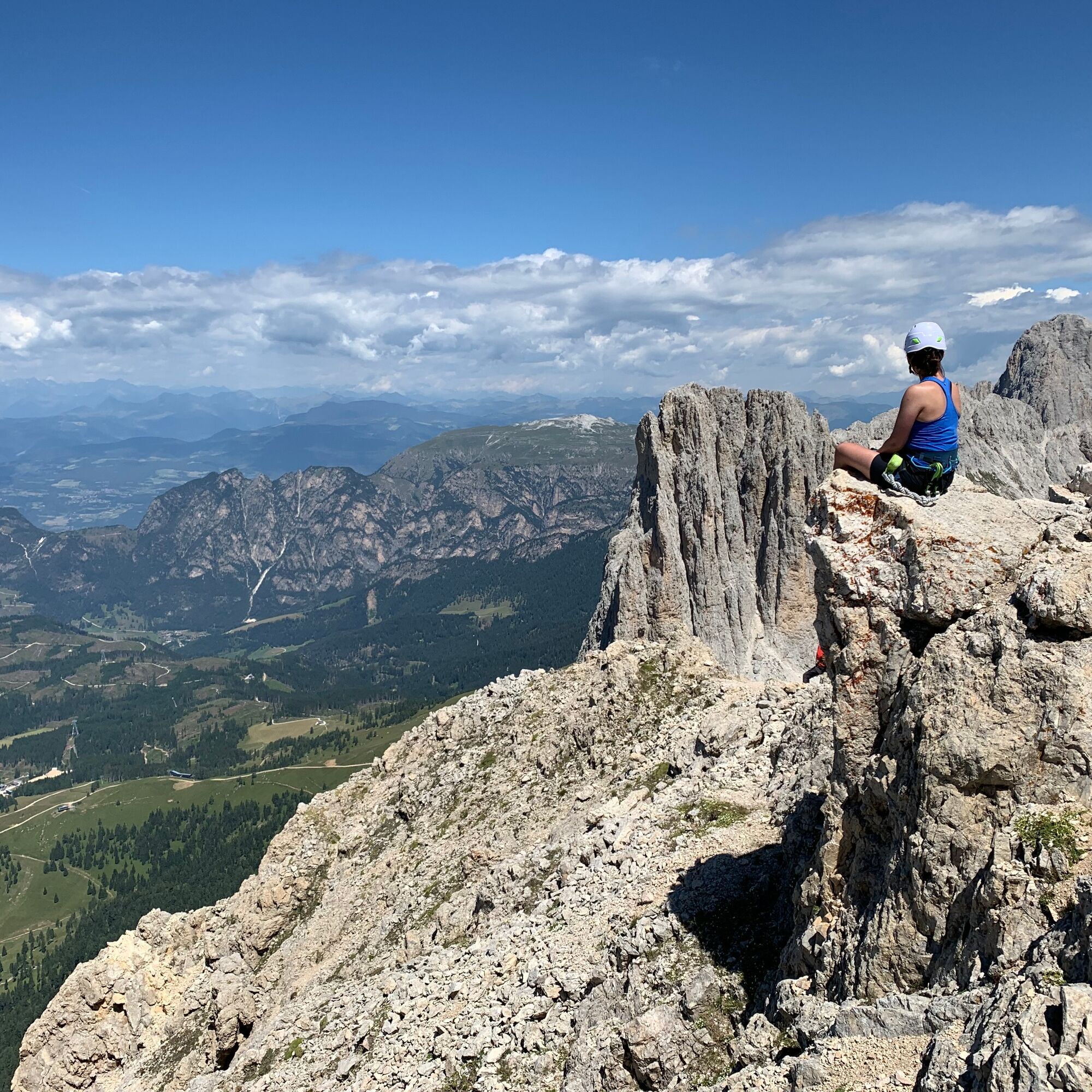
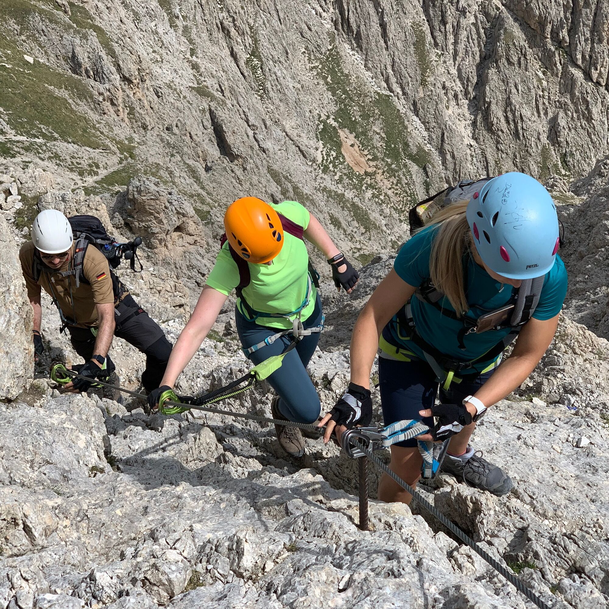
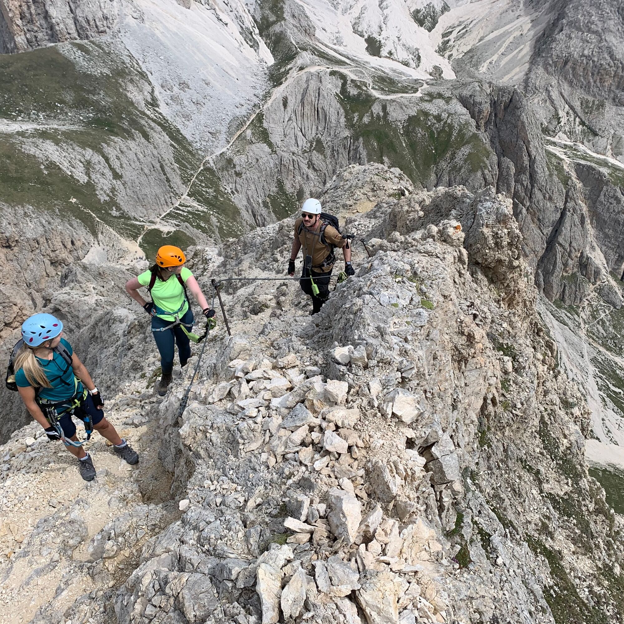
Well marked and secured via ferrata. Nice crossing of the Rotwand. The climb over the northern ridge of the Rotwand, in the south of the Rosengarten massif, is a very homogeneous and usually not very steep ridge climbing route. Technically less demanding via ferrata, beautiful scenery, scenically impressive ascent and descent.
- Stopień trudności
-
średniStopień trudności A/B
- Ocena
-
- Trasa
-
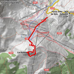
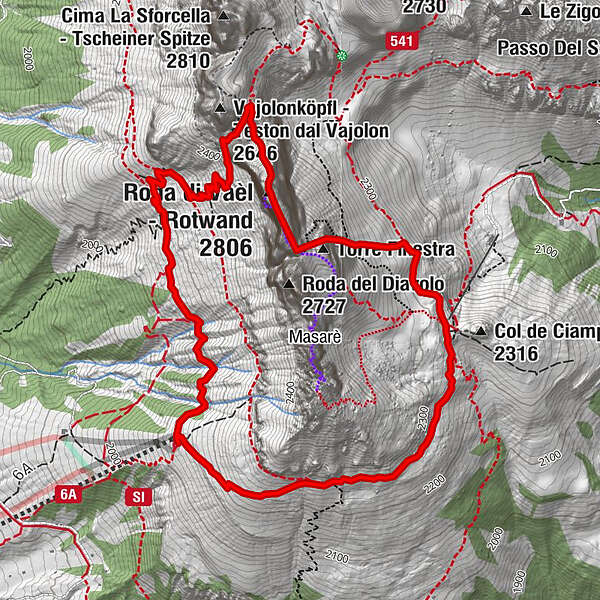
Paolina HüttePaolina (2.125 m)0,0 kmRotwand (2.806 m)3,2 kmFensterlturm3,5 kmTorre Edoarda (2.640 m)3,5 kmRotwandhütte4,6 kmBaita Marino Pederiva4,7 kmPaolina Hütte6,6 kmPaolina (2.125 m)6,6 km
- Najlepszy sezon
-
stylutmarkwimajczelipsiewrzpaźlisgru
- Najwyższy punkt
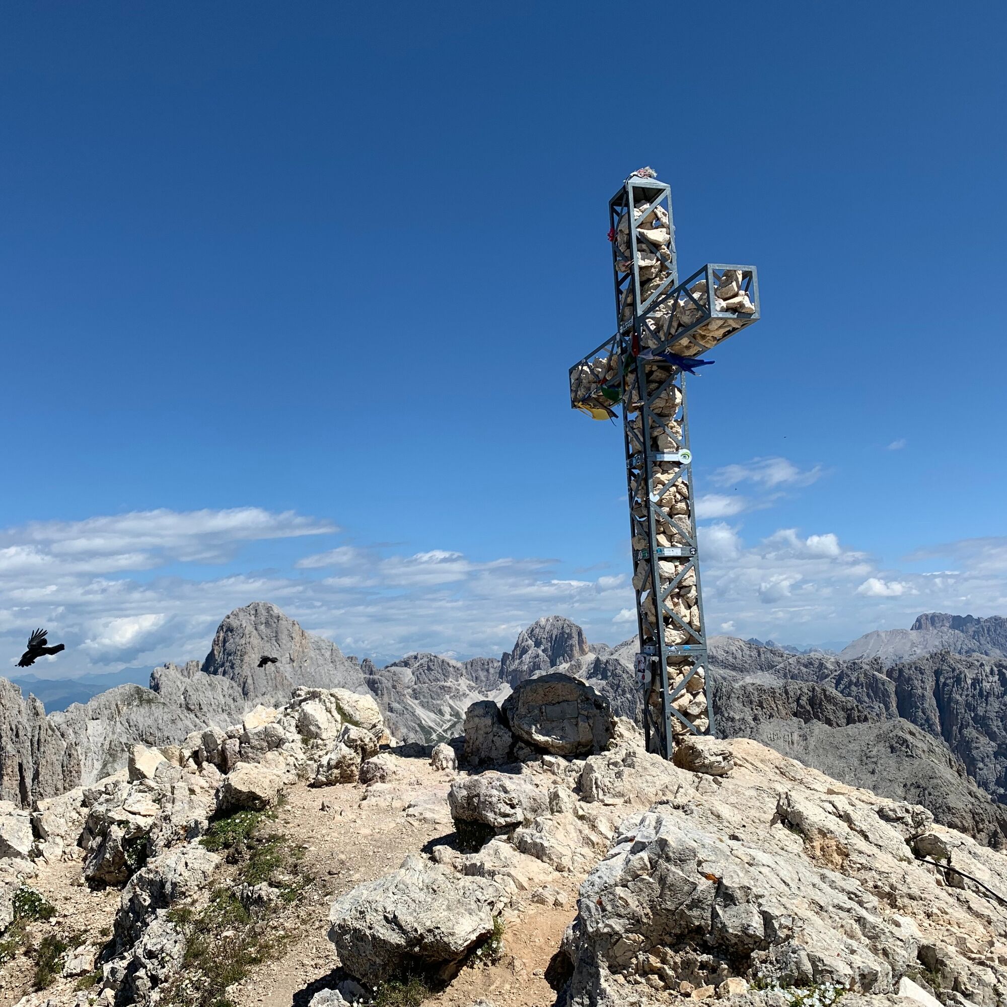
- 2.788 m
- Profil wysokości
-
 © outdooractive.com
-

-
AutorWycieczka Via ferrata Roda de Vaèl jest używany przez outdooractive.com pod warunkiem.
GPS Downloads


Informacje ogólne
Przystanek odświeżania
Obiecujący
Więcej wycieczek w regionach