
© Tirol Werbung, Sebastian Shels
© Tirol Werbung, Sebastian Shels

© Tirol Werbung, Sebastian Shels
© Michael Kirchmayer

© Michael Kirchmayer

© Tourismusverband Region Hall-Wattens - Anne W.

© Tourismusverband Region Hall-Wattens - Anne W.

© Tourismusverband Region Hall-Wattens - Anne W.

© Tourismusverband Region Hall-Wattens - Anne W.

© Tourismusverband Region Hall-Wattens - Anne W.
- Krótki opis
-
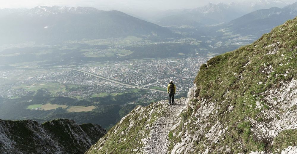
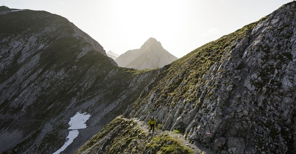
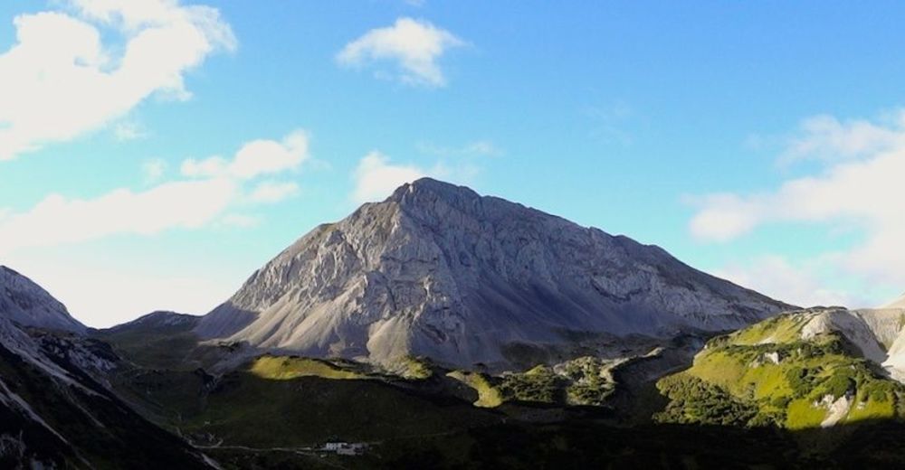
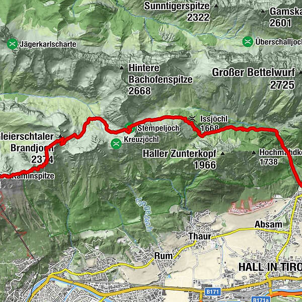
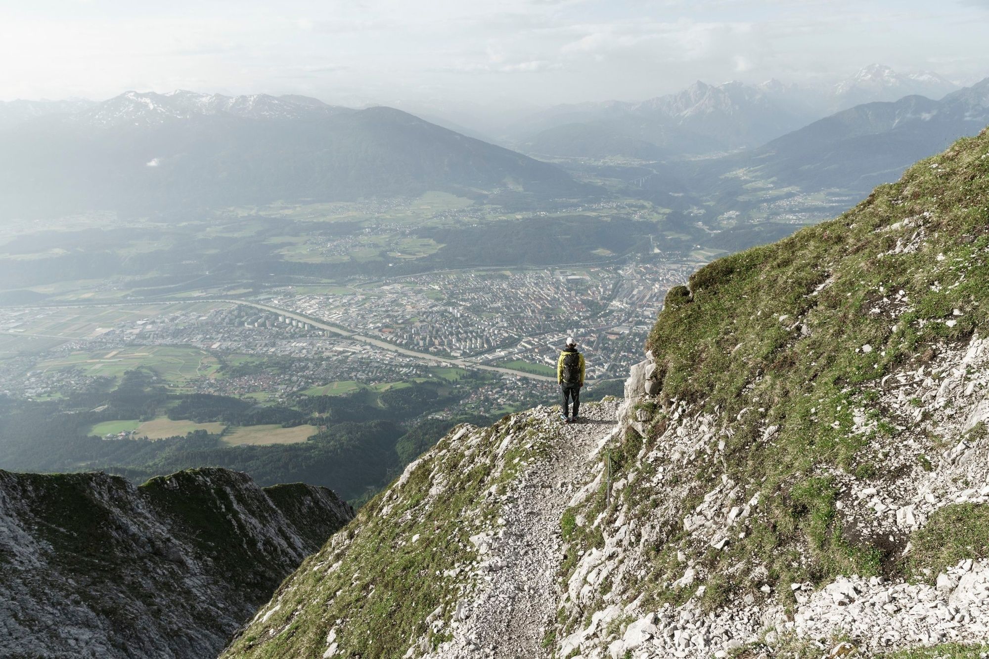
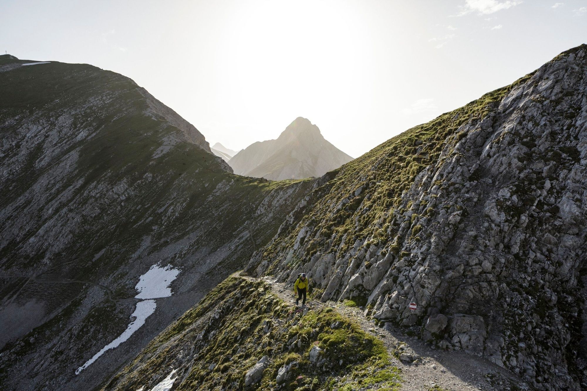
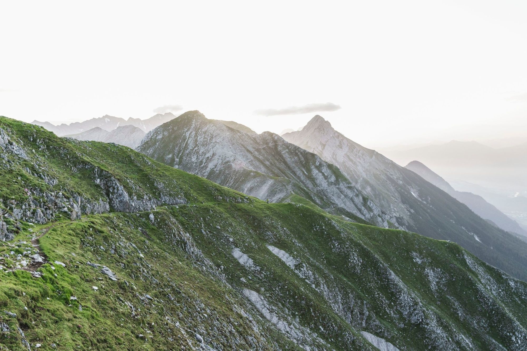
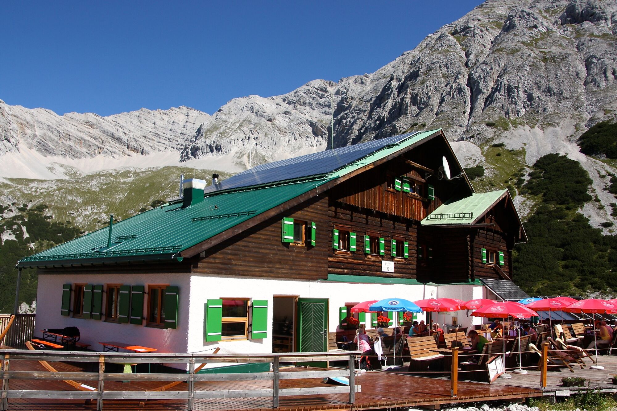
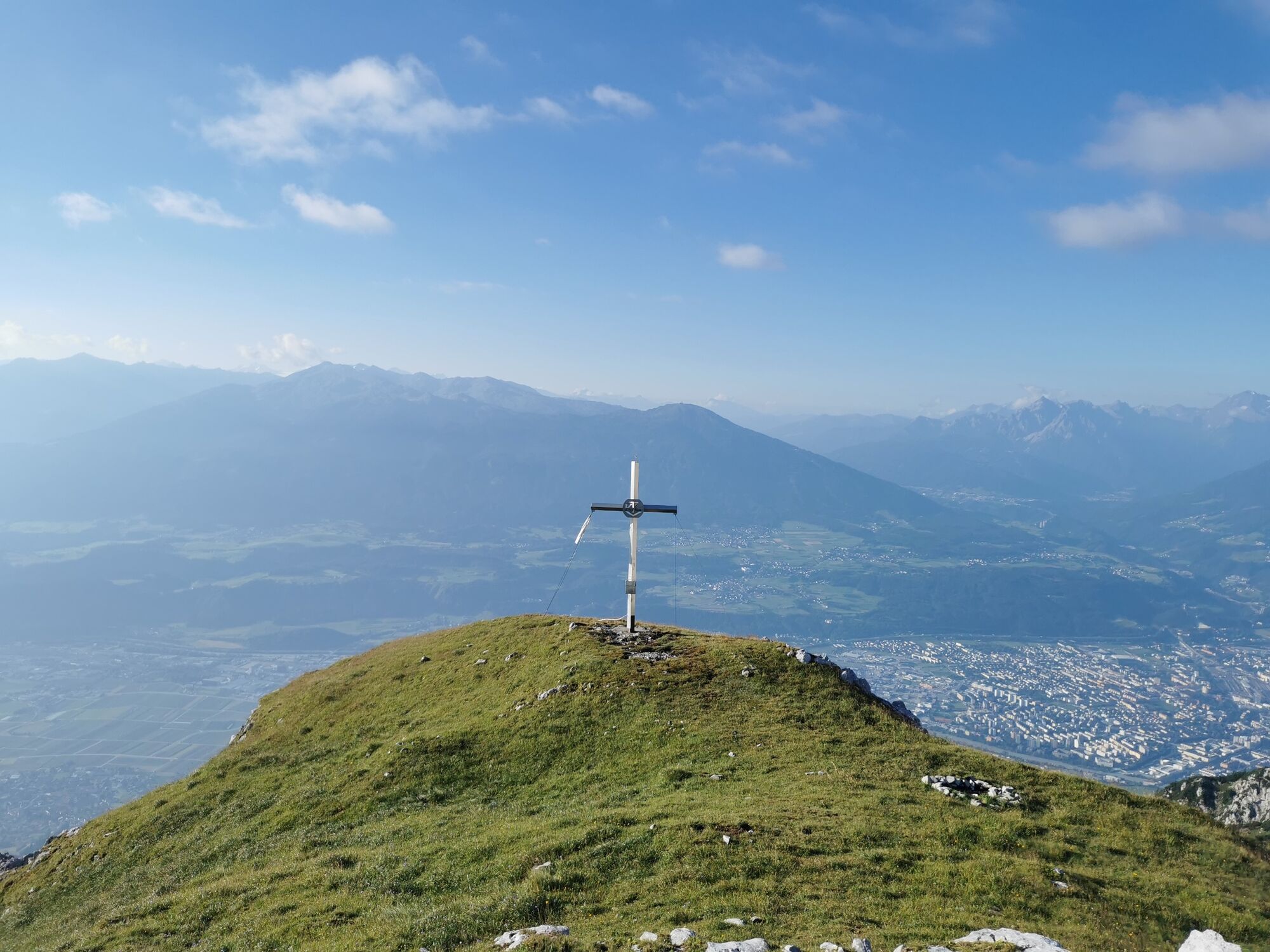
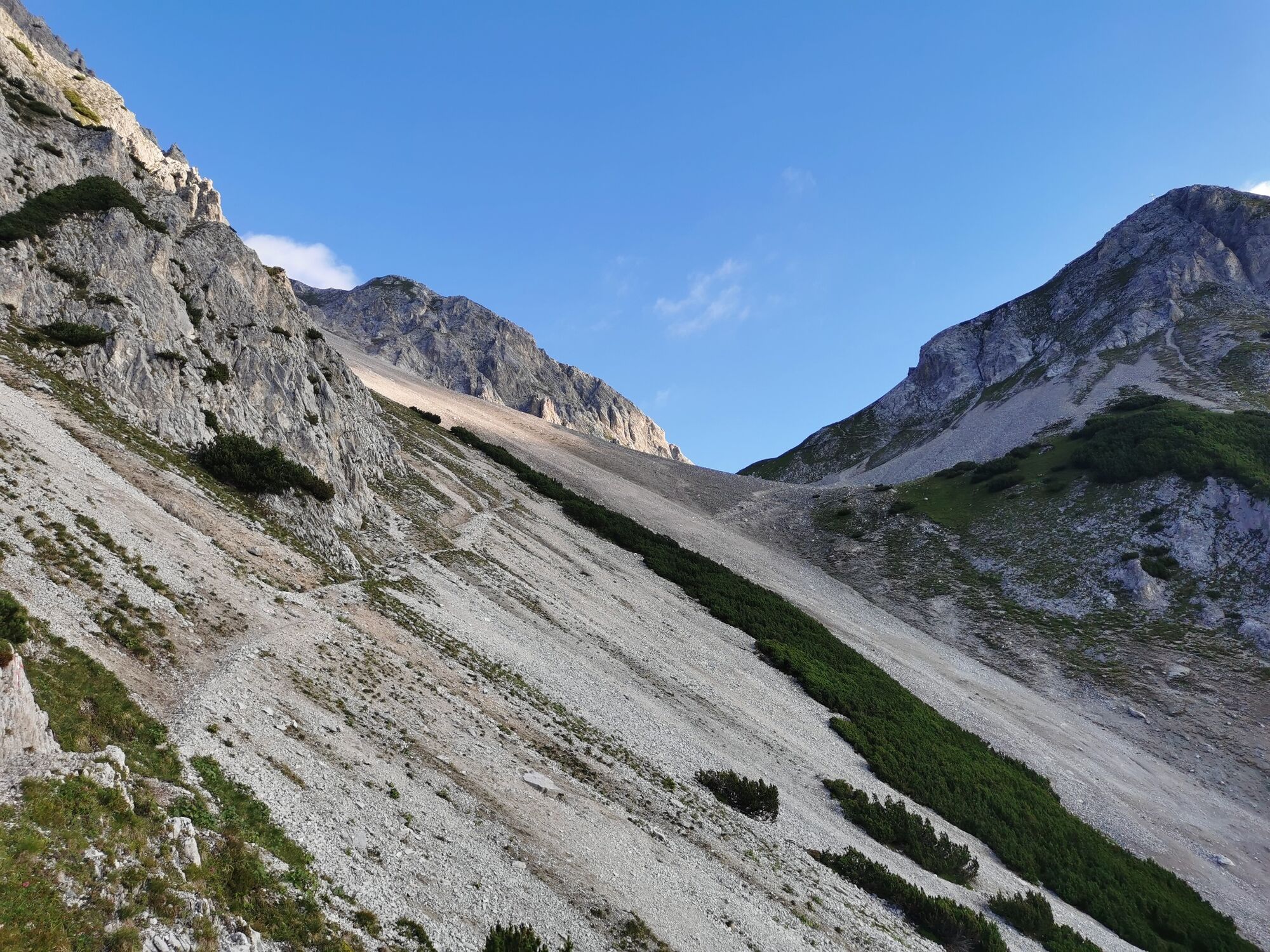
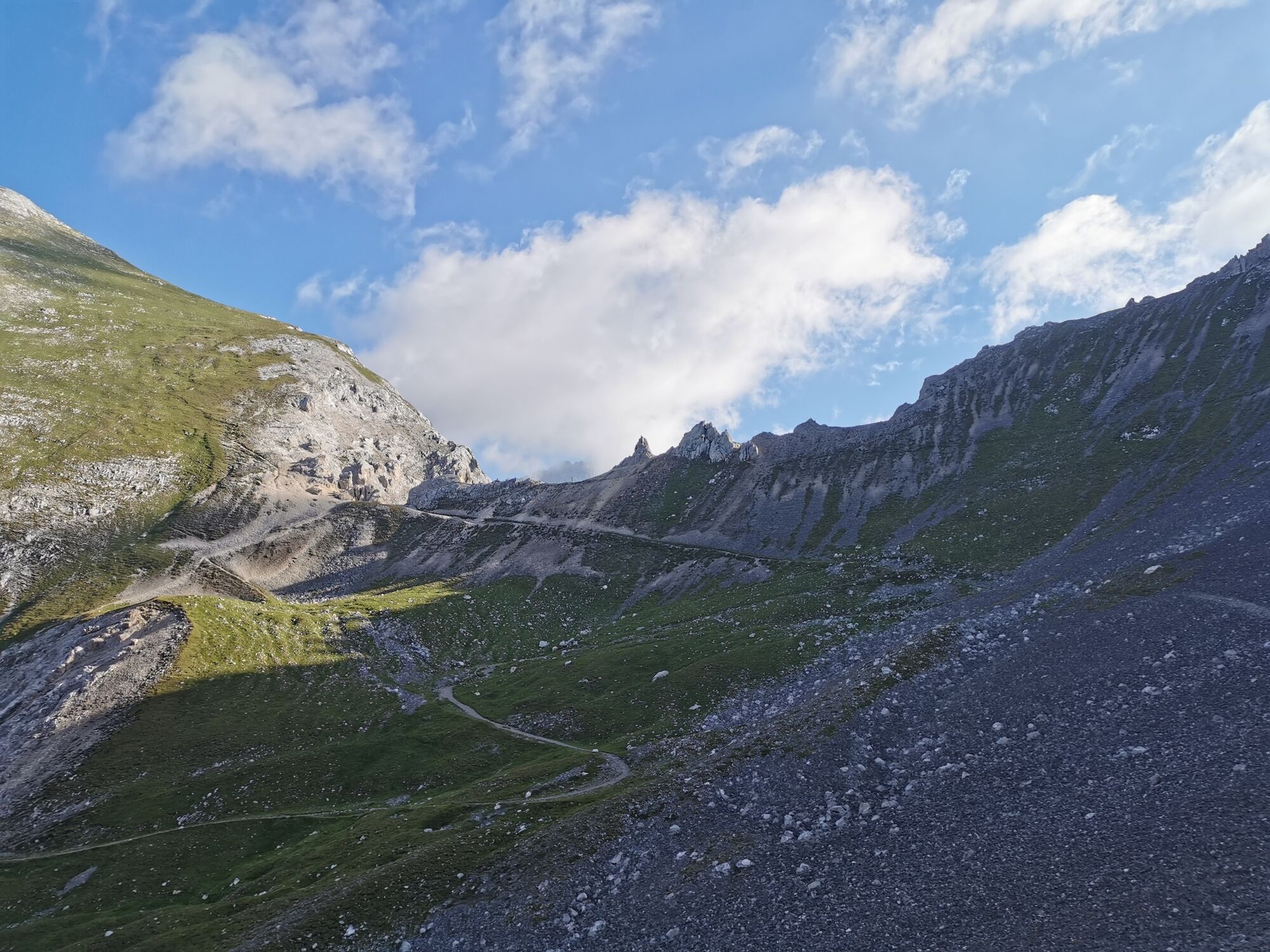
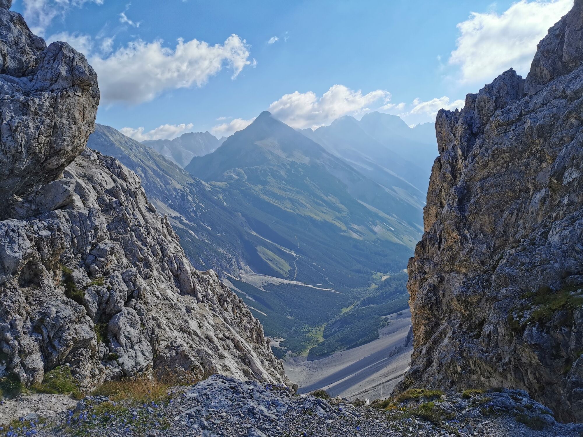
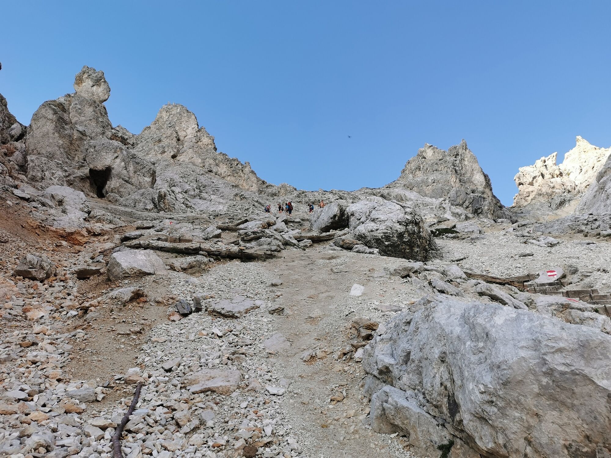
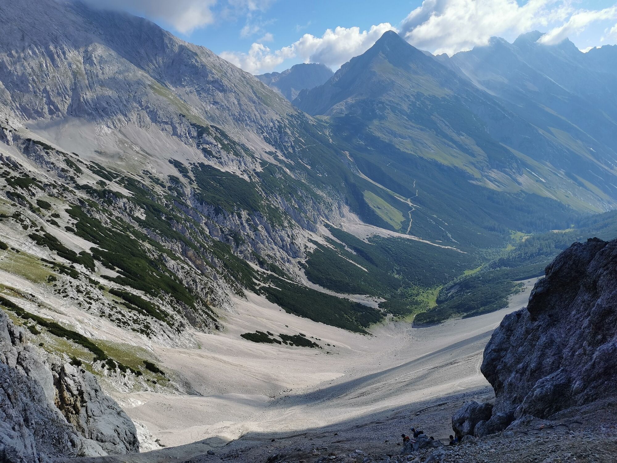
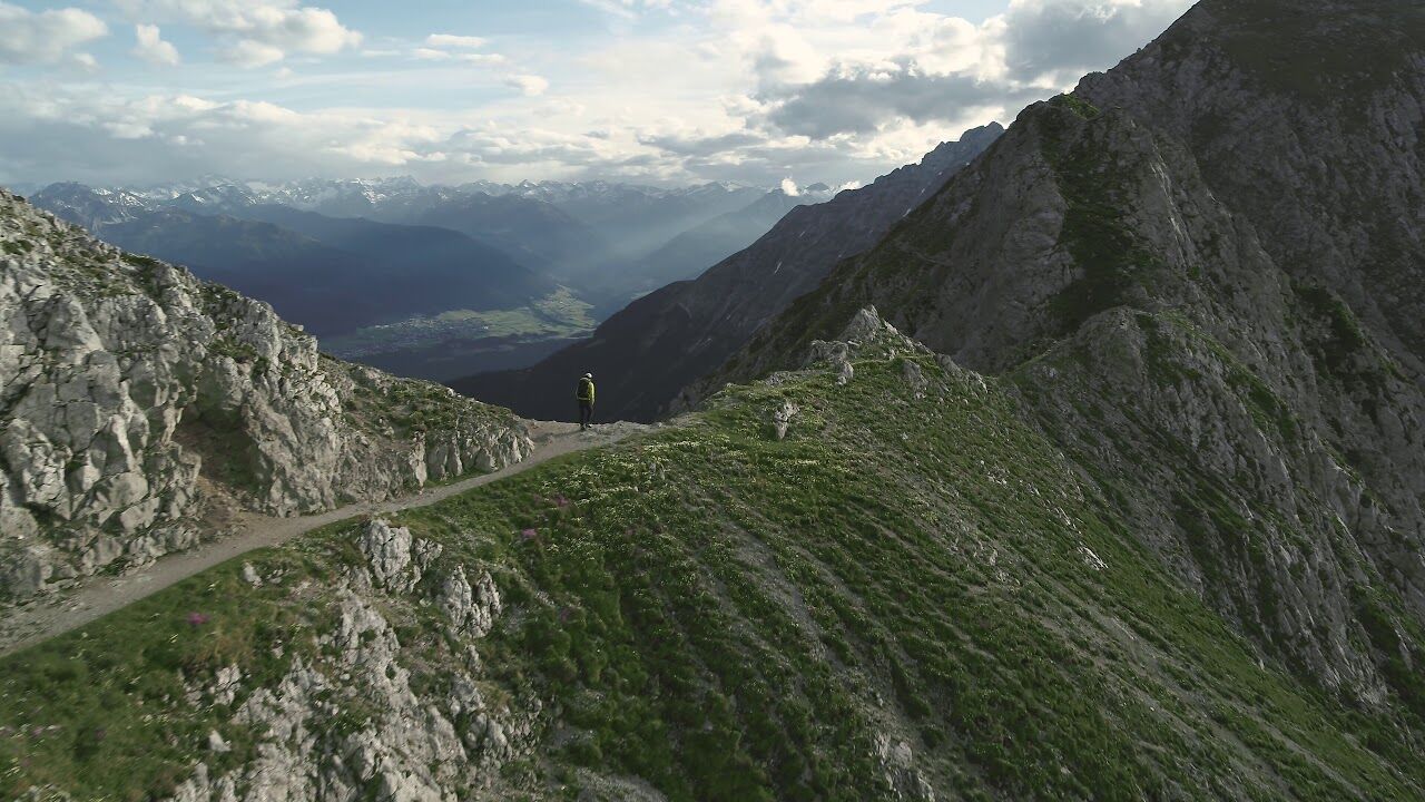
The Goethe Weg in Tyrol (not on the Brocken in the Harz mountains) starts at the top station of the Nordkettenbahn (Hafelekar) and leads along the ridge with several ascents and descents to the Pfeishütte (1922 m) and further through the Halltal valley to Absam
- Stopień trudności
-
średni
- Ocena
-
- Trasa
-
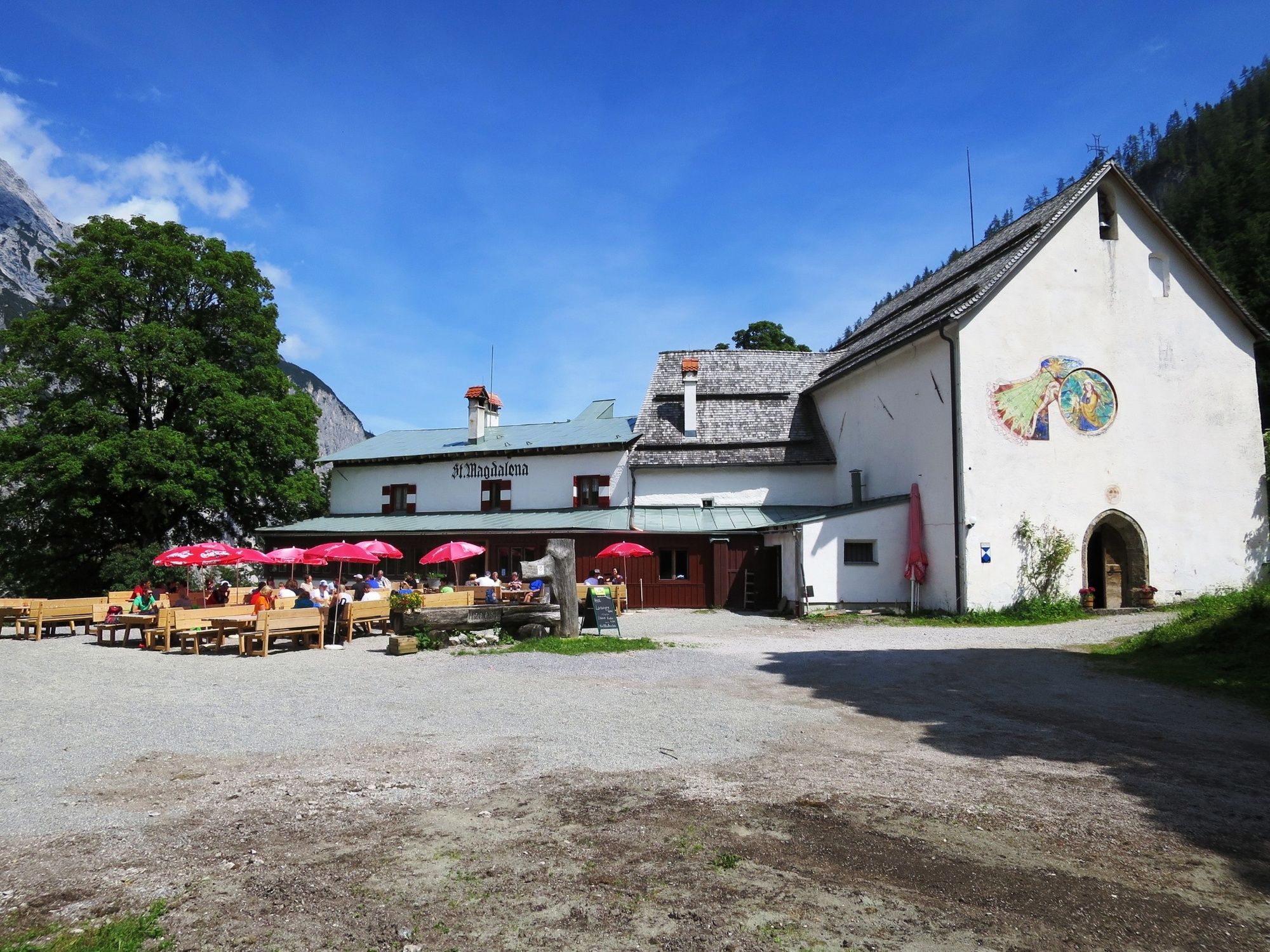
Karstube0,0 kmPfeishütte5,5 kmNotraum5,5 kmIssjöchl (1.668 m)9,9 kmHerrenhäuser (1.490 m)10,4 kmRuppertikapelle10,5 kmErzherzogberg (1.424 m)10,9 kmJausenstation St. Magdalena (1.287 m)12,4 kmKohlanger12,8 kmBettelwurfeck13,7 kmJakobibründlquelle13,7 kmBergerkapelle14,8 km
- Najlepszy sezon
-
stylutmarkwimajczelipsiewrzpaźlisgru
- Najwyższy punkt
- 2.267 m
- Miejsce docelowe
-
Absam, Halltal
- Profil wysokości
-


-

-
AutorWycieczka Der Goethe Weg in Tirol jest używany przez outdooractive.com pod warunkiem.
GPS Downloads


Informacje ogólne
Przystanek odświeżania
Wskazówka dla osób mających dostęp do poufnych informacji
Obiecujący
Więcej wycieczek w regionach


