Dane wycieczki
11,4km
513
- 763m
-
04:00h
- Krótki opis
-
Wanderung mit kulturellem Anspruch
- Ocena
-
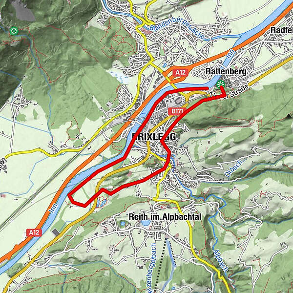
- Punkt wyjścia
-
Parkplatz beim Schloss Lipperheide, Gratisparkplätze in Rattenberg (P3 und P5)
- Najwyższy punkt
- 763 m
- Odpoczynek/Odosobnienie
-
Restaurants und Cafés in Mehrn, Matzenpark und Rattenberg
- Mapy
-
Mayr Wanderkarte Alpbachtal & Tiroler Seenland
GPS Downloads


Warunki na szlaku
Asfalt
Żwir
Łąka
Las
Skała
Wyeksponowany
Więcej wycieczek w regionach
-
Alpbachtal
1477
-
Brixlegg
487