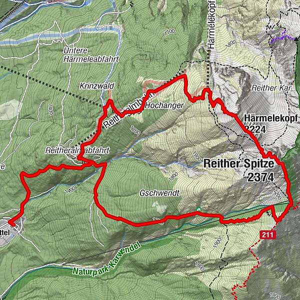
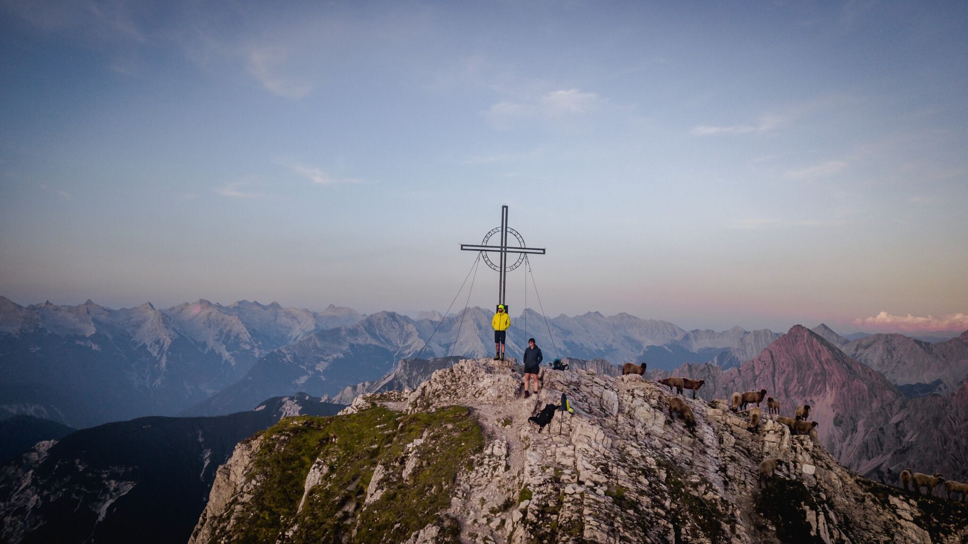
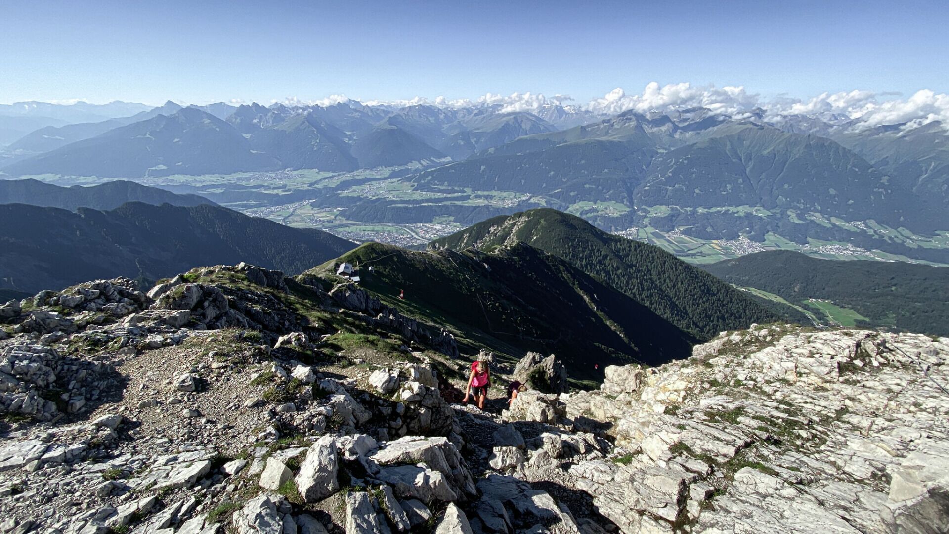
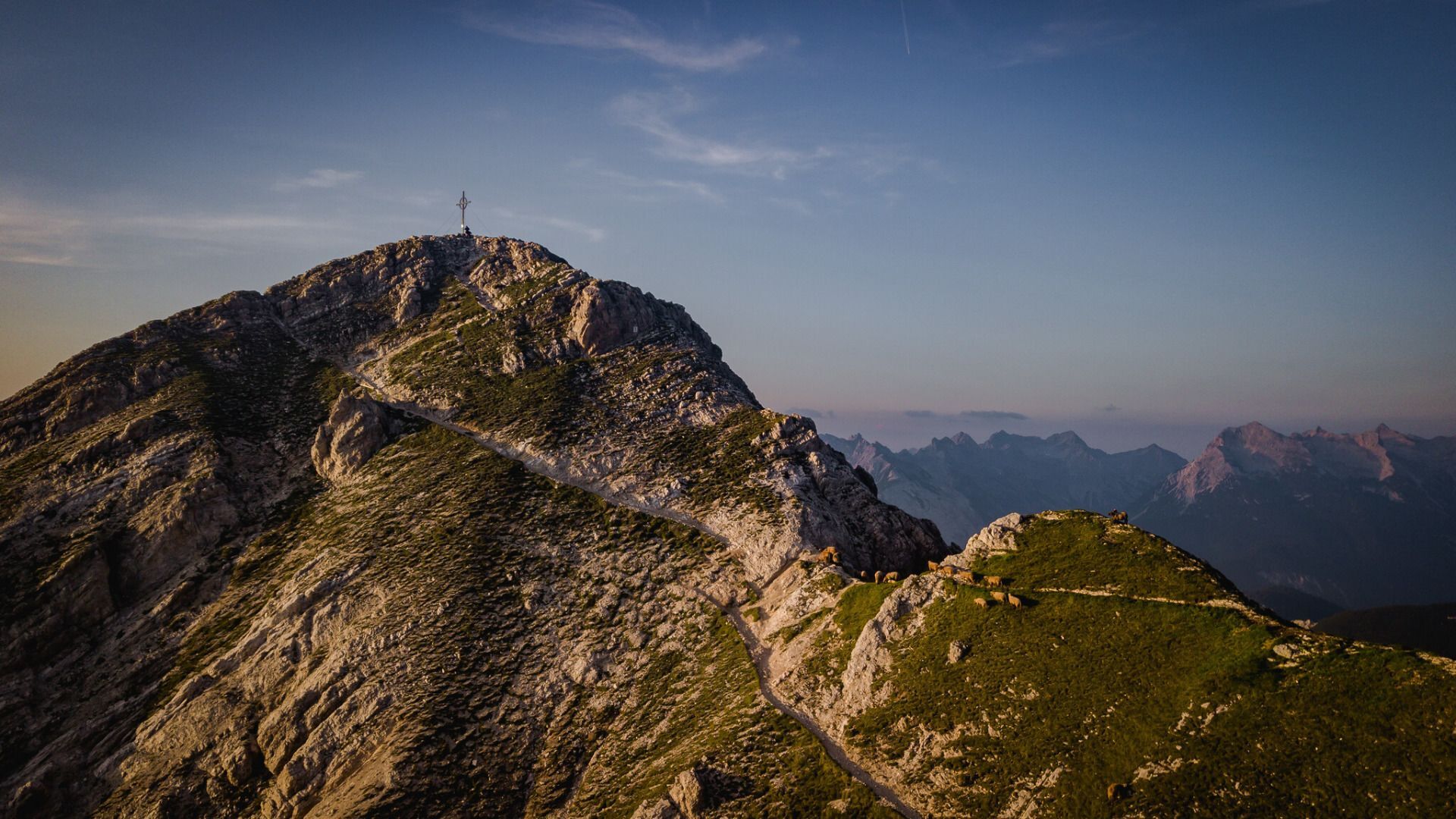
Bergtour über Nördlinger Hütte zur Reither Spitze, 2.374m

Wędrówka

© Tourismusverband Seefeld - Region Seefeld, Burnz Neuner

© Tourismusverband Seefeld - Region Seefeld

© Tourismusverband Seefeld - Region Seefeld

© Tourismusverband Seefeld - Region Seefeld

© Tourismusverband Seefeld - Region Seefeld

© Tourismusverband Seefeld - Region Seefeld, Burnz Neuner

© Tourismusverband Seefeld - Region Seefeld - Tessa Mellinger

- Krótki opis
-
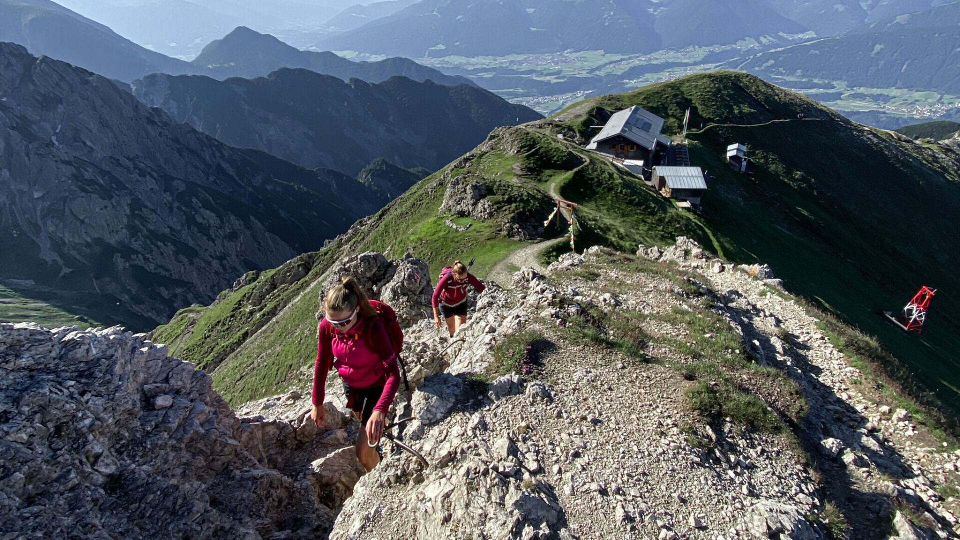
Unternehmen Sie eine schwierige Bergtour von der Nördlinger Hütte zur Reither Spitze und genießen Sie dabei tolle Aussichtspunkte.
- Trasa
-
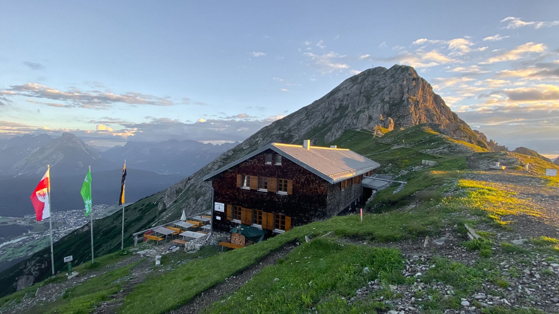
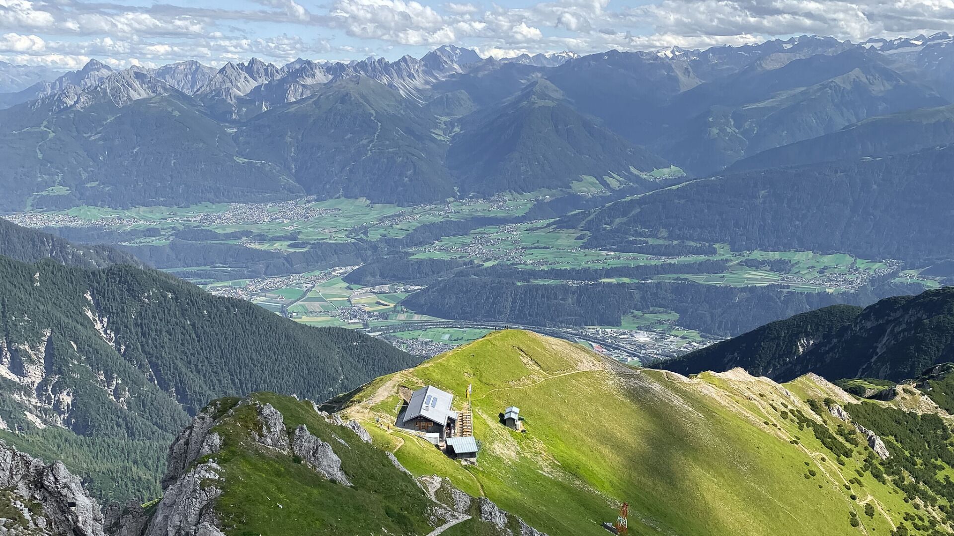
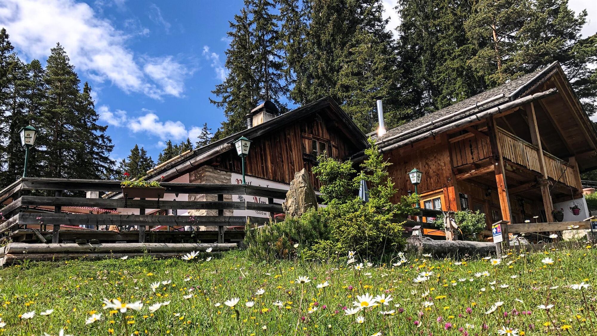
Nördlinger Hütte4,0 kmReither Spitze (2.374 m)4,4 kmHärmelekopf (2.224 m)5,2 kmHärmelekopfbahn (2.033 m)5,8 kmHochangerbahn7,4 kmReitherjoch Alm7,9 km
- Najwyższy punkt
- 2.349 m
- Miejsce docelowe
-
Parkplatz Maxhütte
- Profil wysokości
-

- Autor
-
Wycieczka Bergtour über Nördlinger Hütte zur Reither Spitze, 2.374m jest używany przez outdooractive.com pod warunkiem.
GPS Downloads


Więcej wycieczek w regionach