


Hochsöll circular route
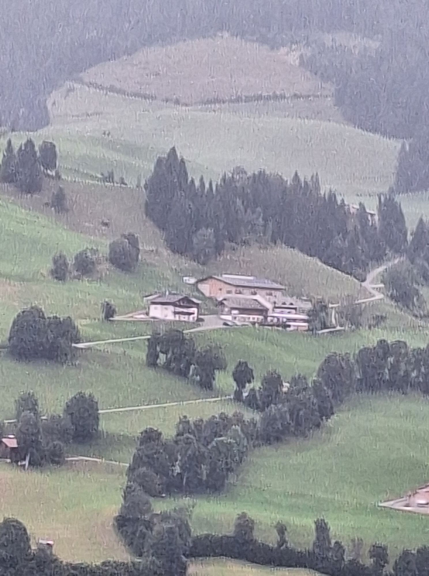


Starting point is the valley station in Söll. Turn right at the car park behind the Moonlight Bar and hike along the edge of the forest to the Oberhausberg refreshment stop. Carry on up to the Foischingalm...
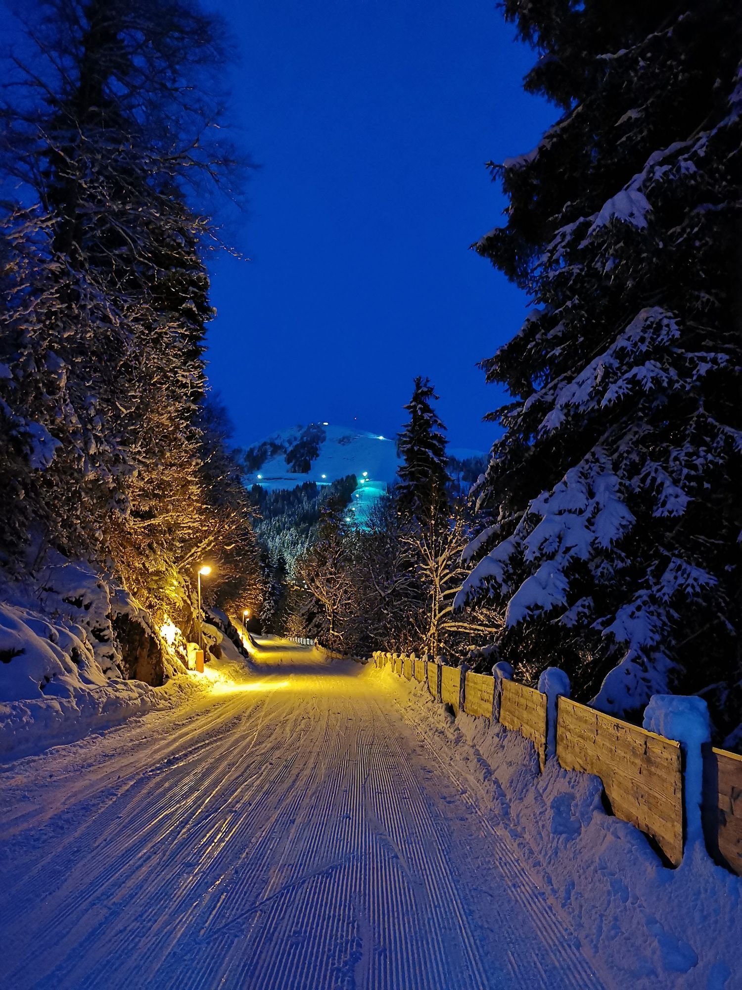
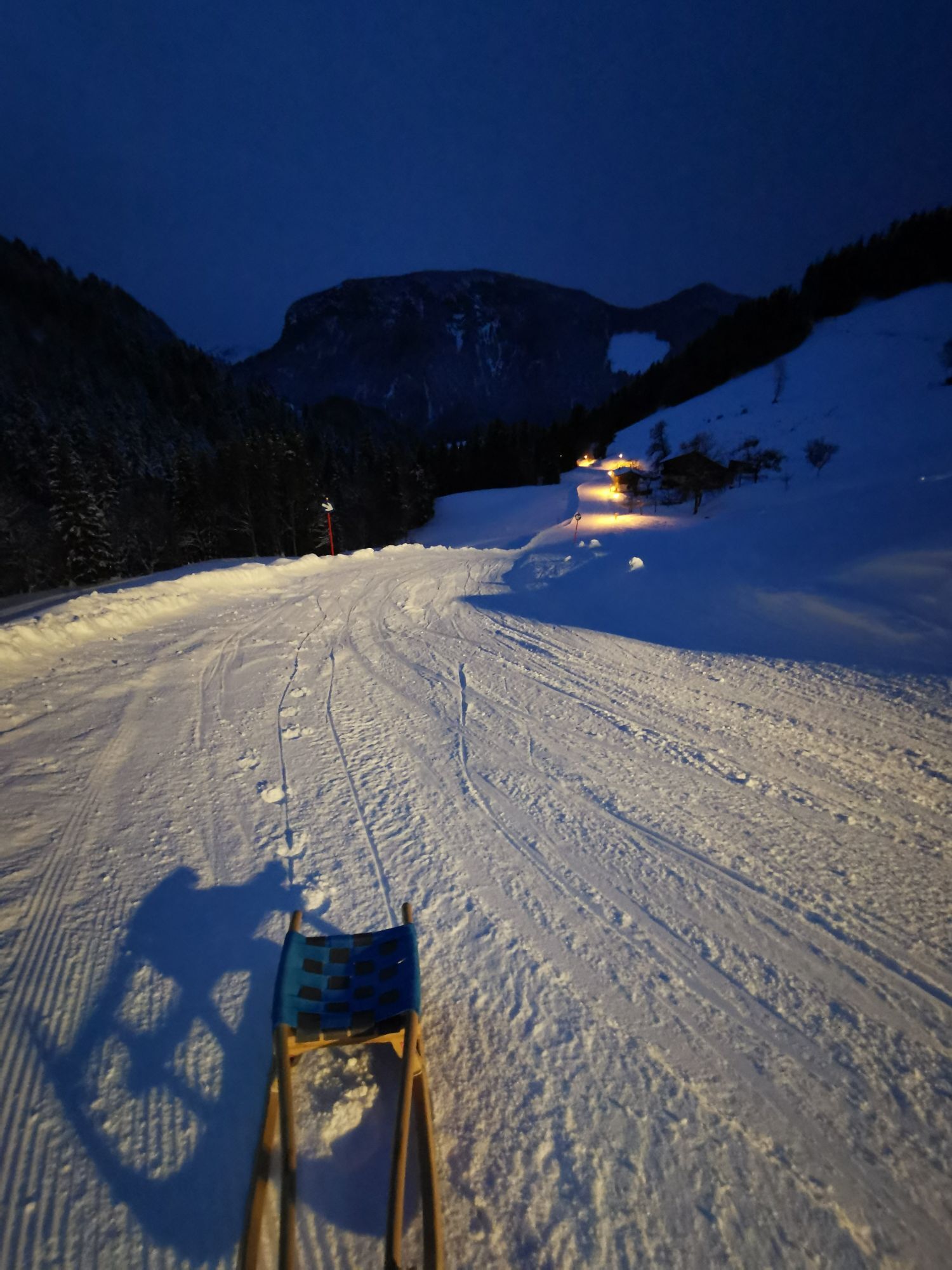
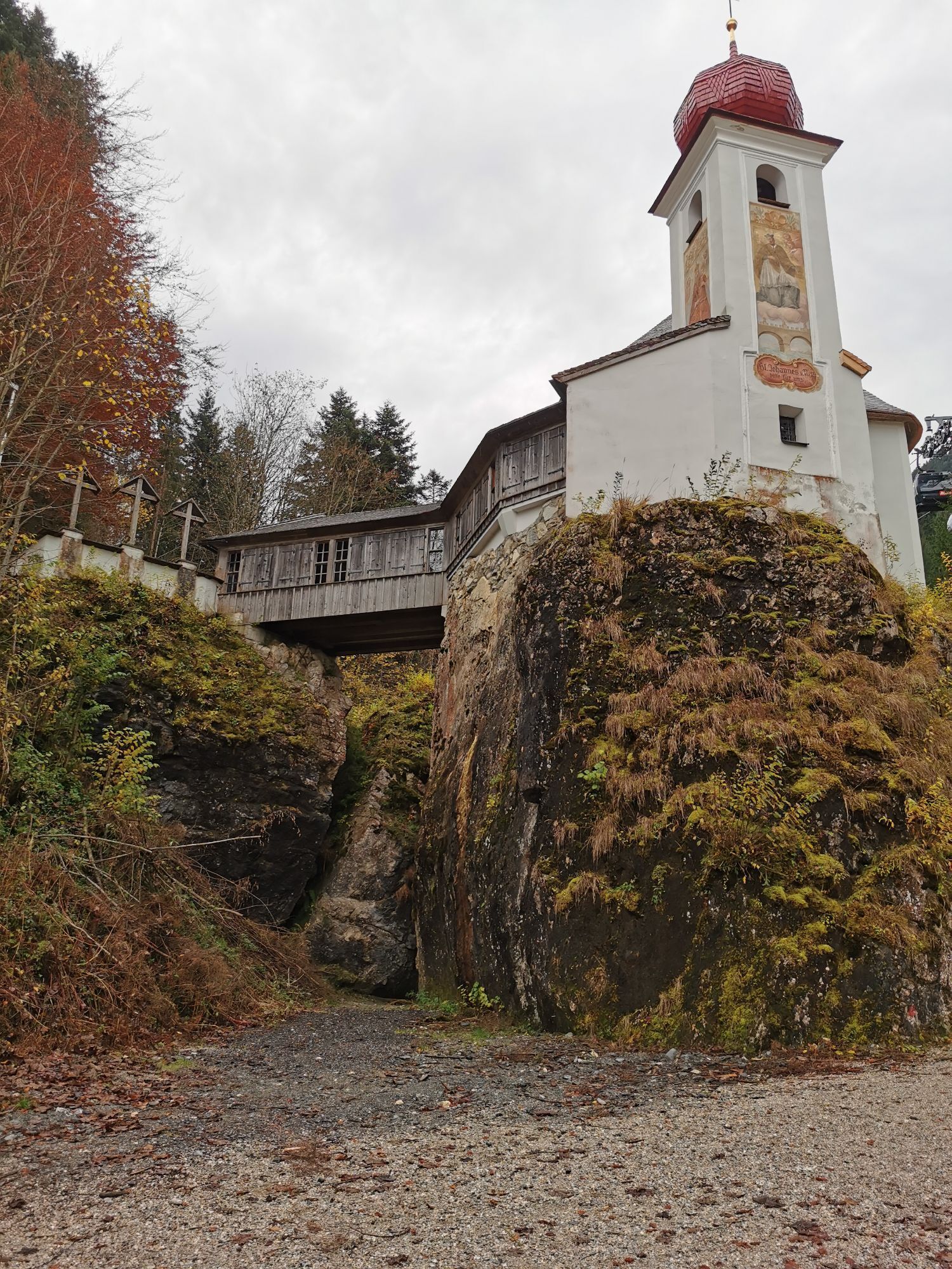
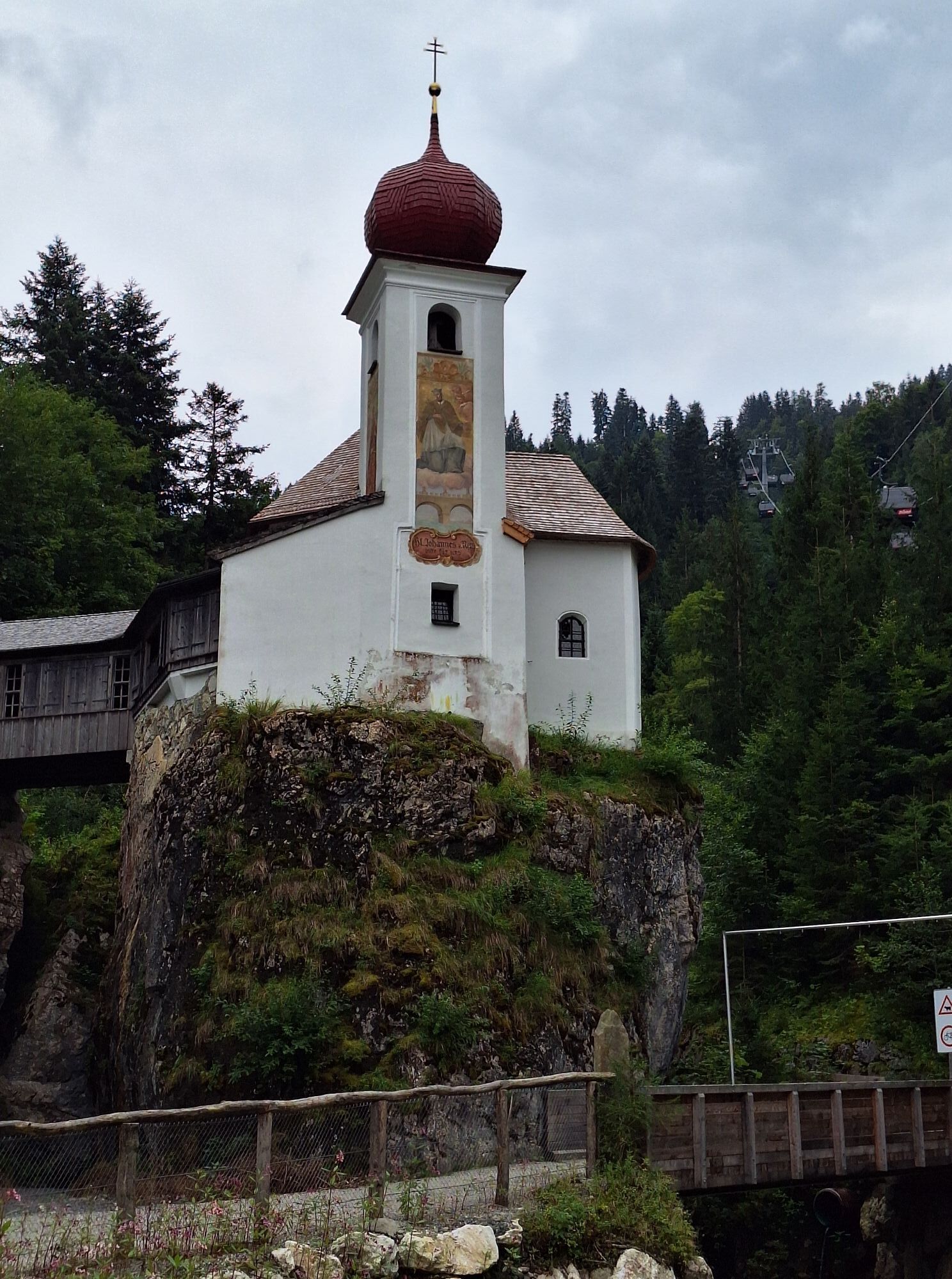
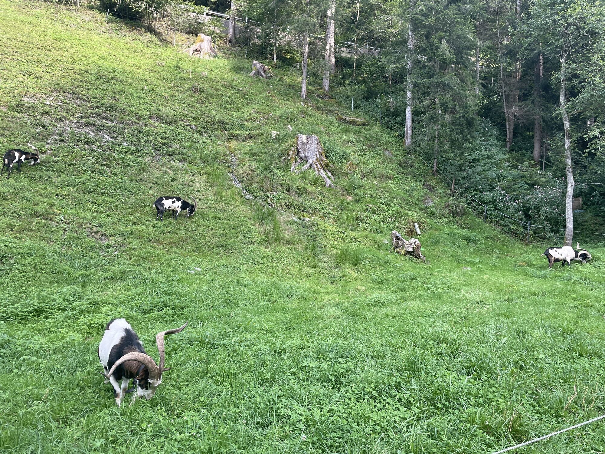
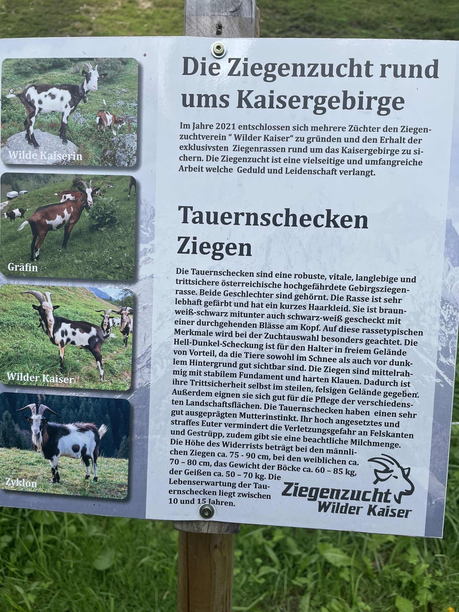
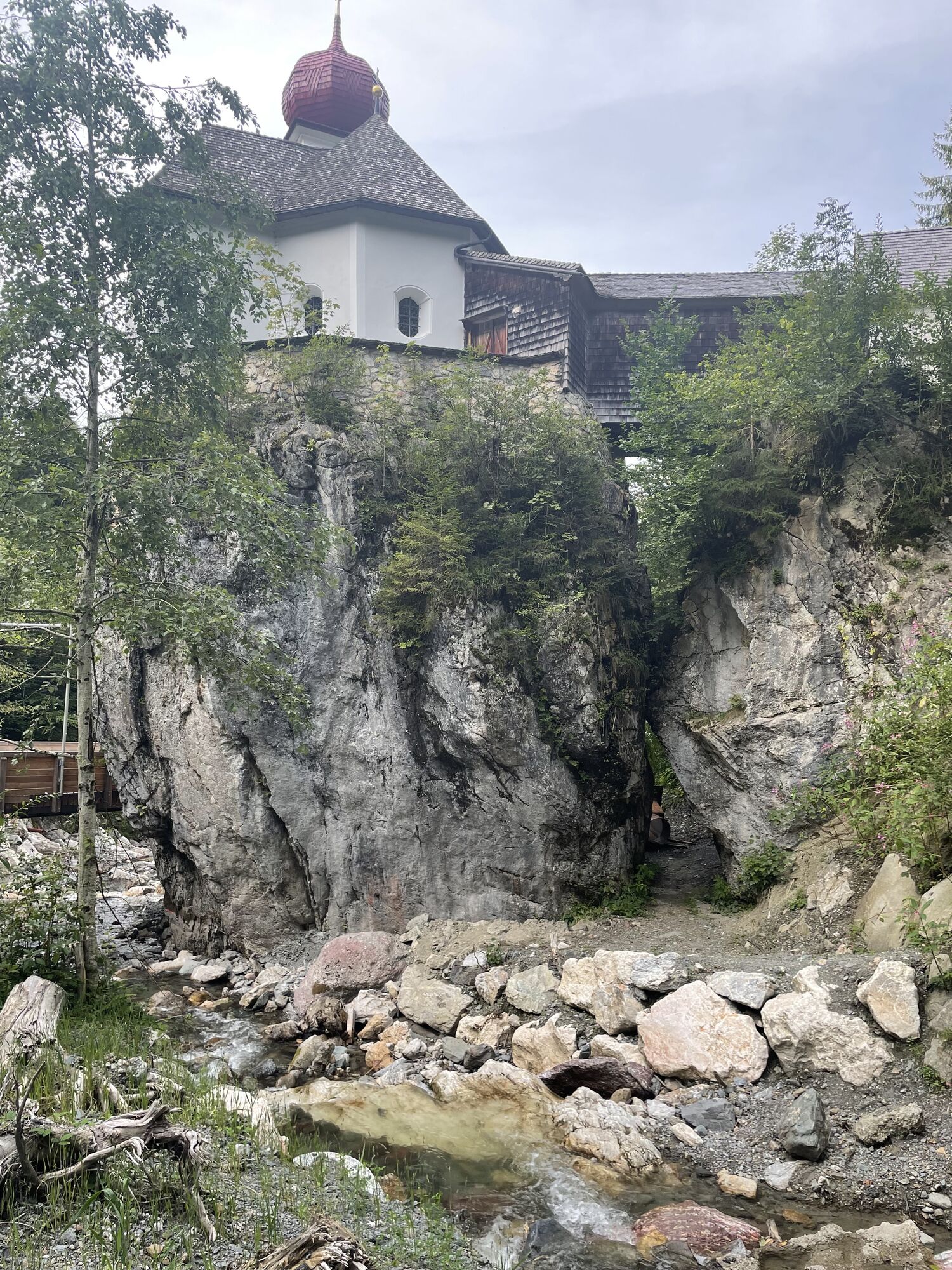
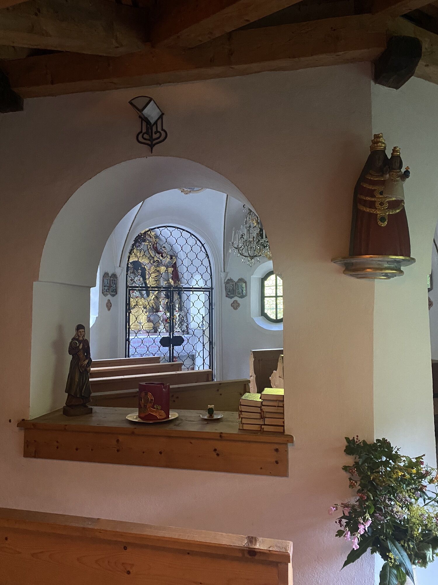
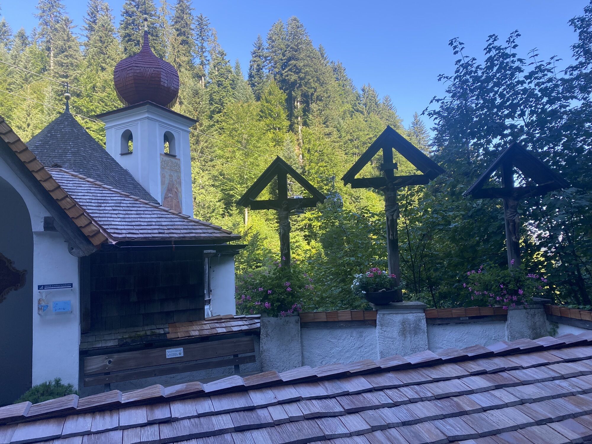
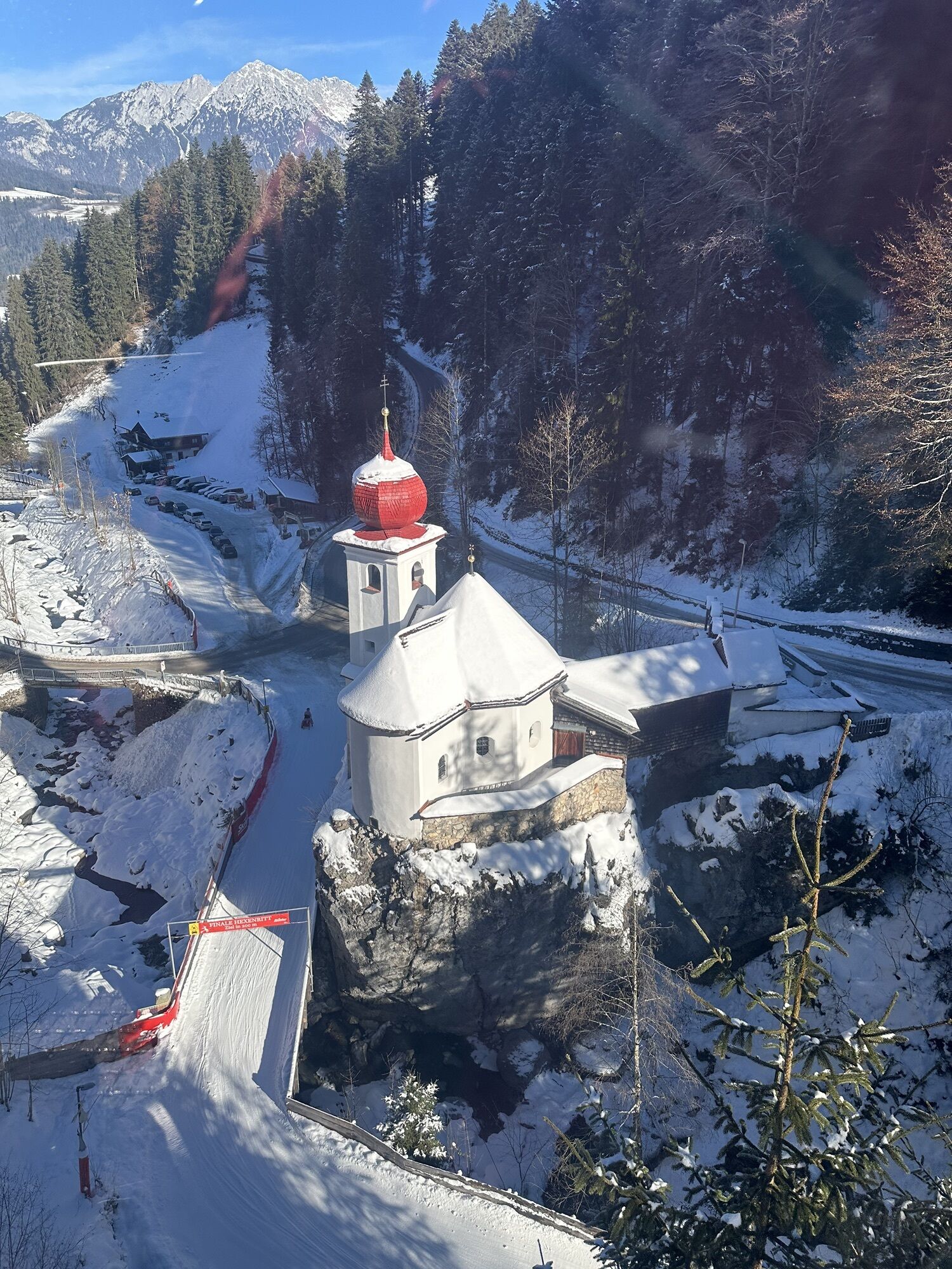
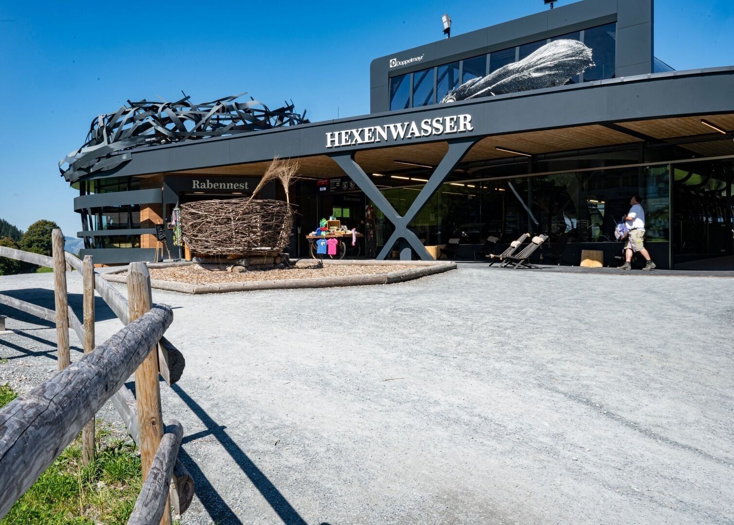
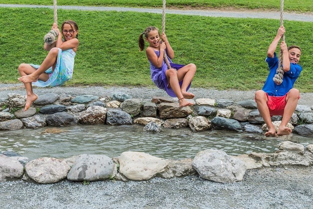
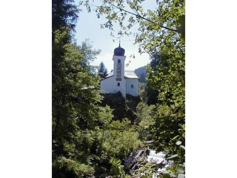
Starting point is the valley station in Söll. Turn right at the car park behind the Moonlight Bar and hike along the edge of the forest to the Oberhausberg refreshment stop. Carry on up to the Foischingalm and over steps through the forest to the Stöcklalm. You’ve now reached the “Hexenwasser” and you carry on to the Alpengasthof Hochsöll inn. There the hiking trail (a toboggan run in winter) leads down to the Stampfangerkapelle chapel and back into the valley.

Wilder Kaiser hiking map (1:30.000) is available in the tourist information centres Ellmau, Going, Scheffau and Söll
Rucksack, sturdy hiking/mountaineering boots with anti-slip treaded soles, weather-appropriate hiking gear (breathable), a change of clothes, sun protection (sunglasses, sun cream, lip protection, headgear), waterproofs (rain jacket/poncho, pocket umbrella, rucksack protector), cold protection (hat, gloves), sufficient food and drink, hiking poles (height adjustable) if required, first aid kit incl. rescue blanket and bivouac sack, mobile phone with fully charged battery, headlamp, plastic bag for waste, hiking map, route description and information materials (GPX track), ID, insurance card, cash
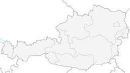
Heading from Wörgl, Kufstein or St. Johann on the B178 road, take the exit to Söll and then take the exit to Hexenwasser theme park (SkiWelt cable car valley station) at the roundabout. Before reaching the cable car valley station, turn left and drive across the bridge. You will then come to the hiking starting point and the cable car parking facilities.
KaiserJet stop “Söll Gondelbahn Hochsöll – Hexenwasser”. More information at: www.wilderkaiser.info
Parking area cable car valley station, Söll (725 m) – free
Kamery internetowe z trasy


Popularne wycieczki w okolicy
-
4,9
Streif Wanderweg
średniWędrówka 5,73 km -
4,7
Musikantensteig zur Naunspitze
średniWędrówka 8,96 km -
4,5
Über Hintersteinersee und Walleralm aufs Hochegg
światłoWędrówka 12,2 km -
5,0
Stripsenjoch Klettersteige/ Rundwanderung von Griesener Alm über Stripsenjochhaus und Feldberg
średniVia ferrata 10,2 km -
4,5
Wanderung um den Hintersteinersee
światłoWędrówka 5,29 km -
4,6
Hintersteinersee
średniWędrówka 9,87 km -
4,5
Route 208: Windautal - Rotwandalm/Filzenscharte
ciężkiMountainbike 22,8 km -
4,9
Route 209: Brechhornhaus-Choralpe
ciężkiMountainbike 24,4 km -
4,2
Bergdoktor Wohnhaus "Gruberhof" (Köpfing Hof) Rundeweg-Söll
światłoWędrówka 8,70 km -
5,0
Kirchdorf: Stripsenjoch Klettersteige
ciężkiVia ferrata 3,76 km

Wędrówki i tropienie


Nie przegap ofert i inspiracji na następne wakacje
Twój adres e-mail została dodana do listy mailingowej.