


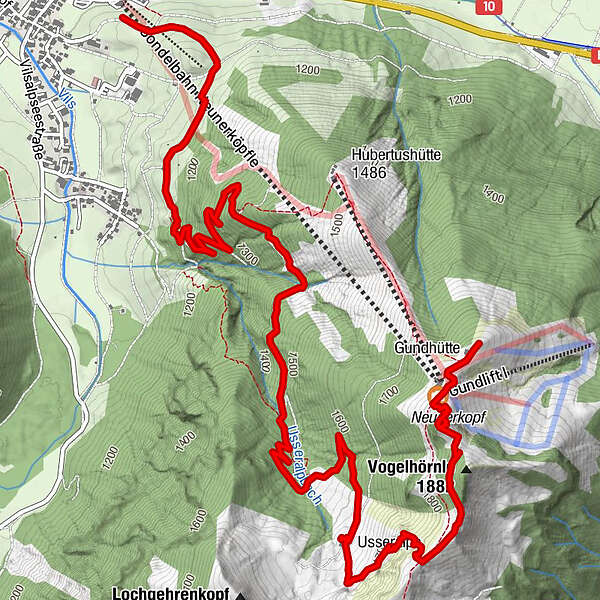
Dane wycieczki
7,63km
1.123
- 1.855m
744hm
93hm
02:46h
- Krótki opis
-
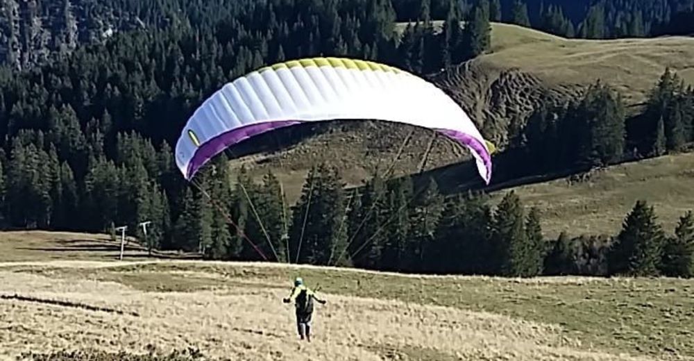
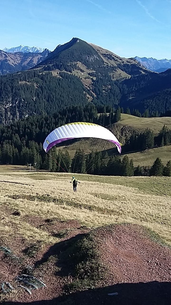
Von der Talstation zum Gipfel Neuner Tannheim und mit dem Gleitschirm zum Tal
- Stopień trudności
-
łatwe
- Ocena
-
- Trasa
-
Urfall1,6 kmUsseralpe5,2 kmVogelhörnle (1.881 m)6,5 kmAussichtspkt. unterhalb Vogelhörnle6,6 kmNeunerköpfle (1.862 m)6,9 kmGundhütte7,5 km
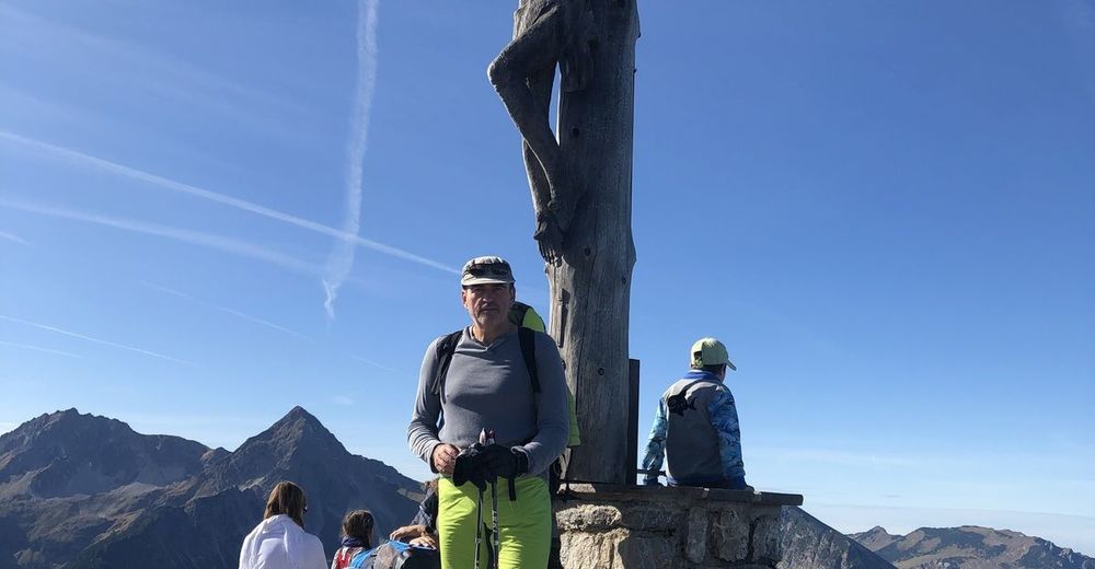
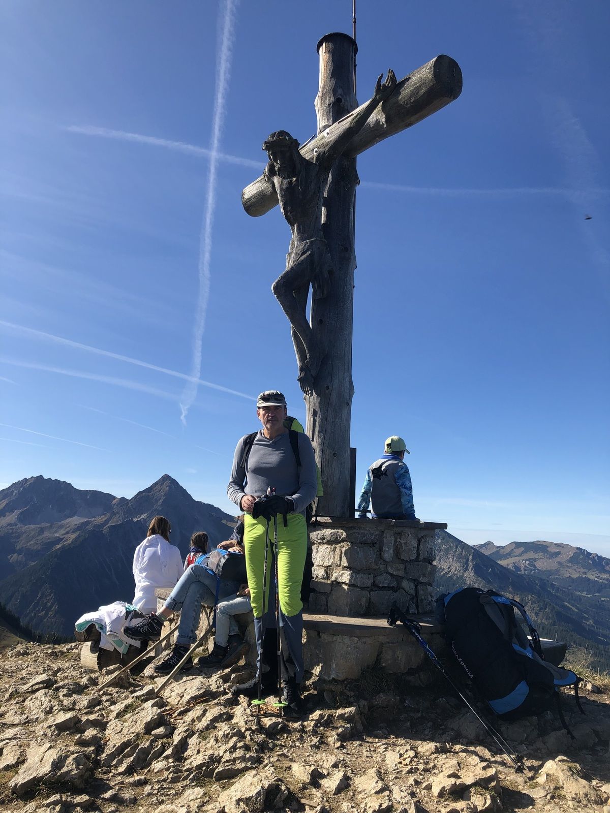
- Najwyższy punkt
- 1.855 m

GPS Downloads


Więcej wycieczek w regionach
-
Allgäu
2362
-
Tannheimer Tal
1453
-
Grän-Haldensee - Füssener Jöchle
570


