
© ÖAV-Hüttenfinder - Alpenverein Innsbruck

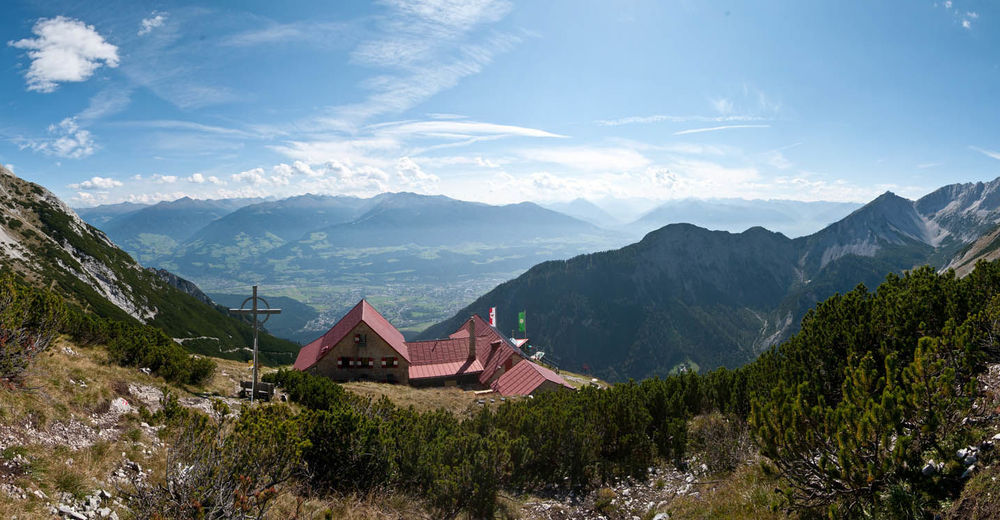
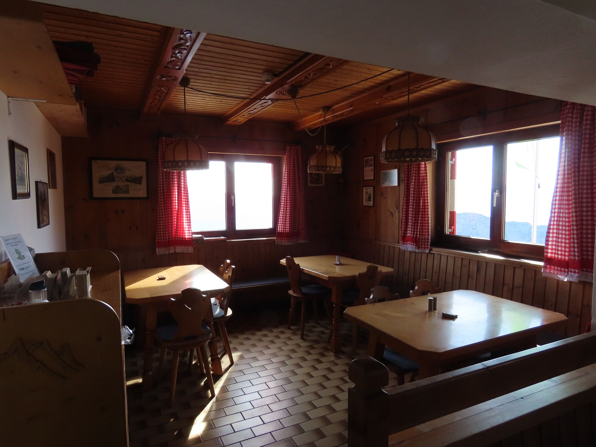
© Alpenverein Hall in Tirol - Michael Larcher
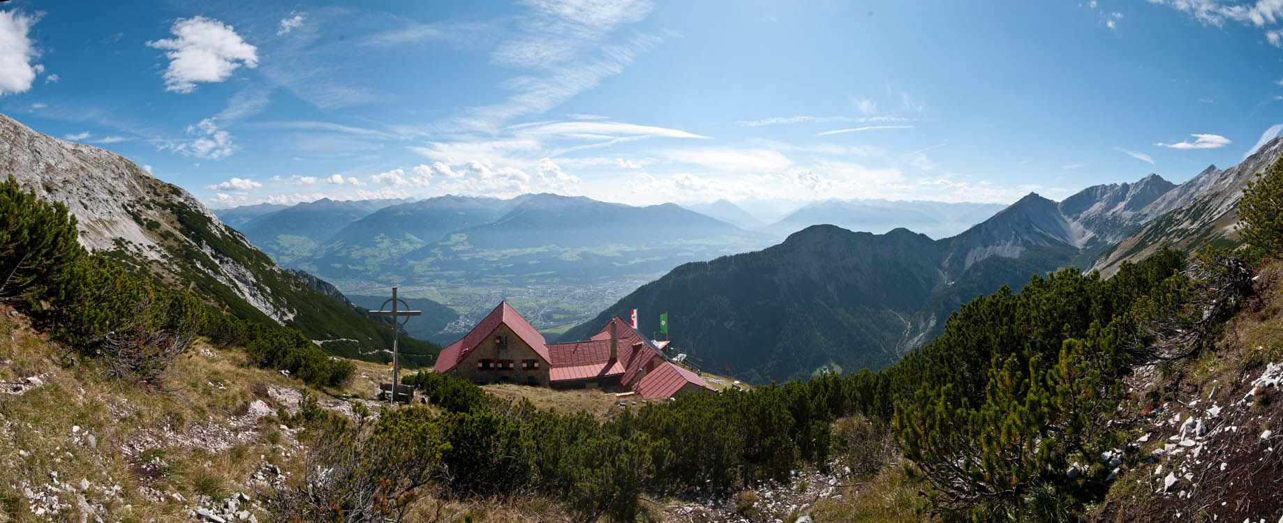
© Alpenverein Hall in Tirol - Michael Larcher

© ÖAV-Hüttenfinder - Alpenverein Innsbruck

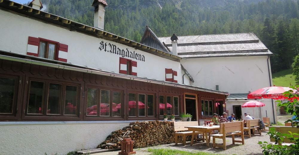
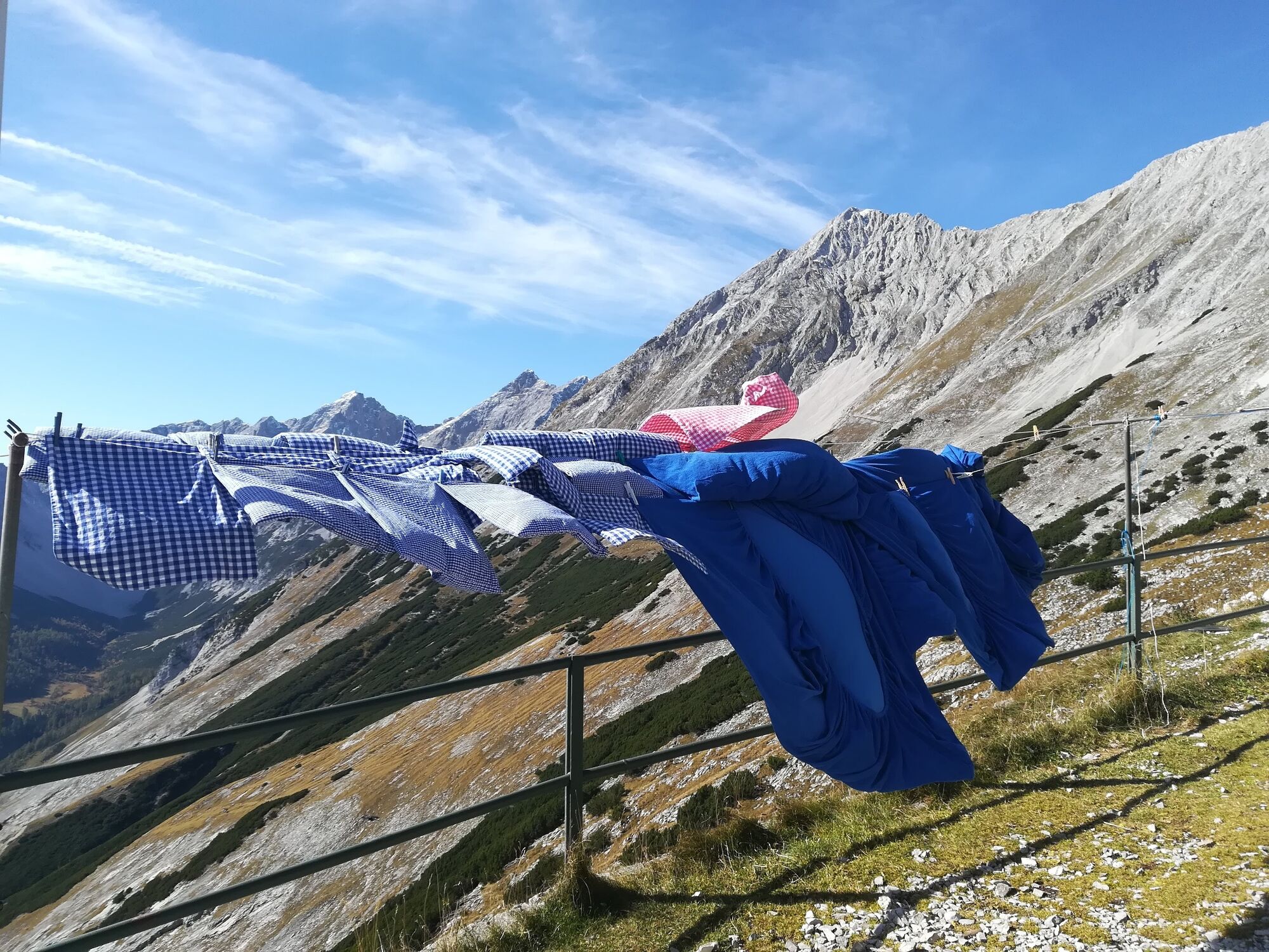
© Tourismusverband Region Hall-Wattens - Anne W.

© Tourismusverband Region Hall-Wattens - Anne W.

© Tourismusverband Region Hall-Wattens - Anne W.

© Tourismusverband Region Hall-Wattens - Anne W.

© Tourismusverband Region Hall-Wattens - Anne W.
- Krótki opis
-
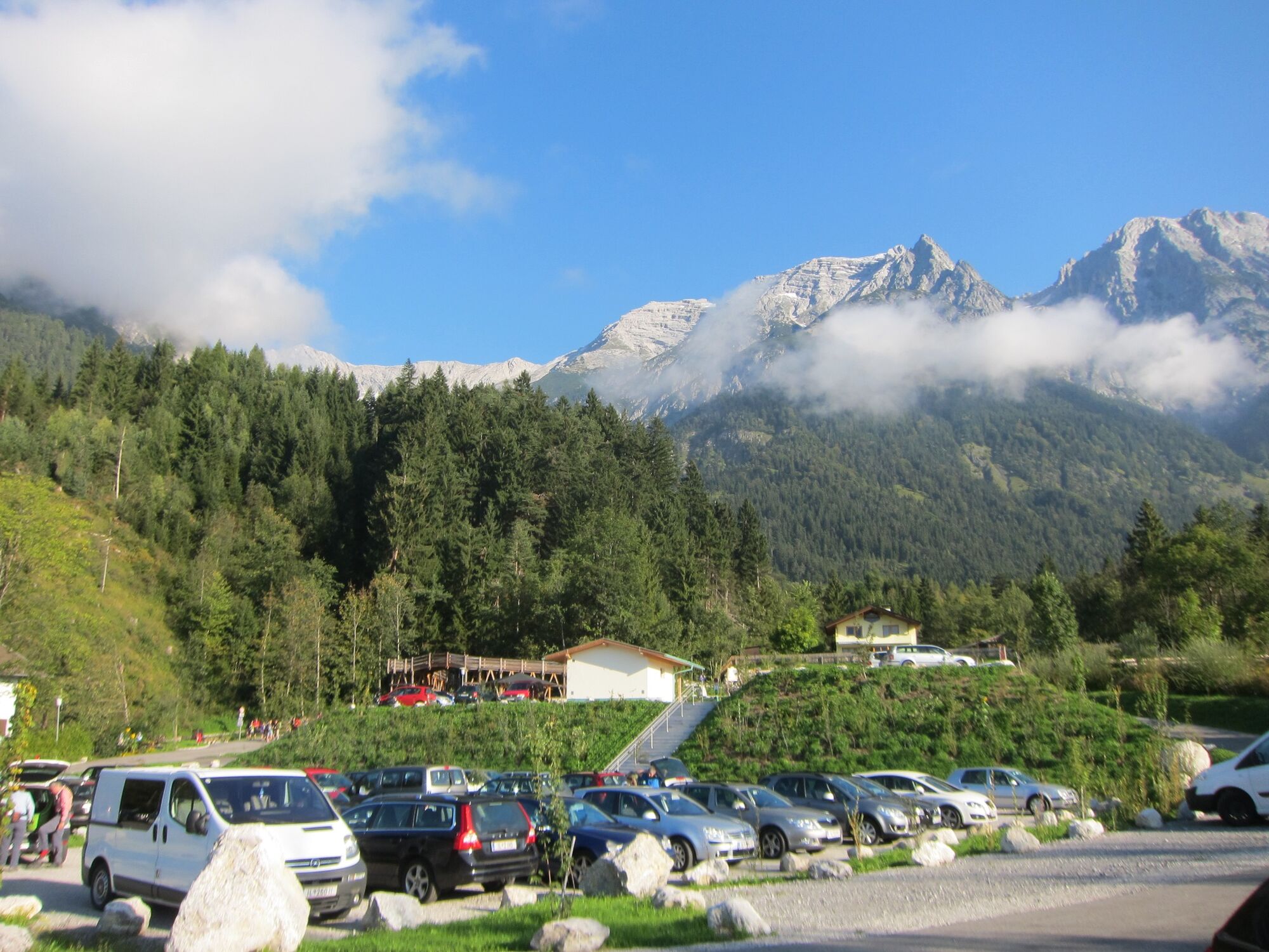
Throught the Halltal we take the trail up to the Bettwurf Hut
- Stopień trudności
-
ciężkie
- Ocena
-
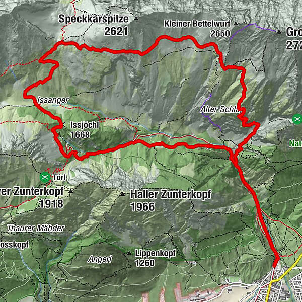
- Trasa
-
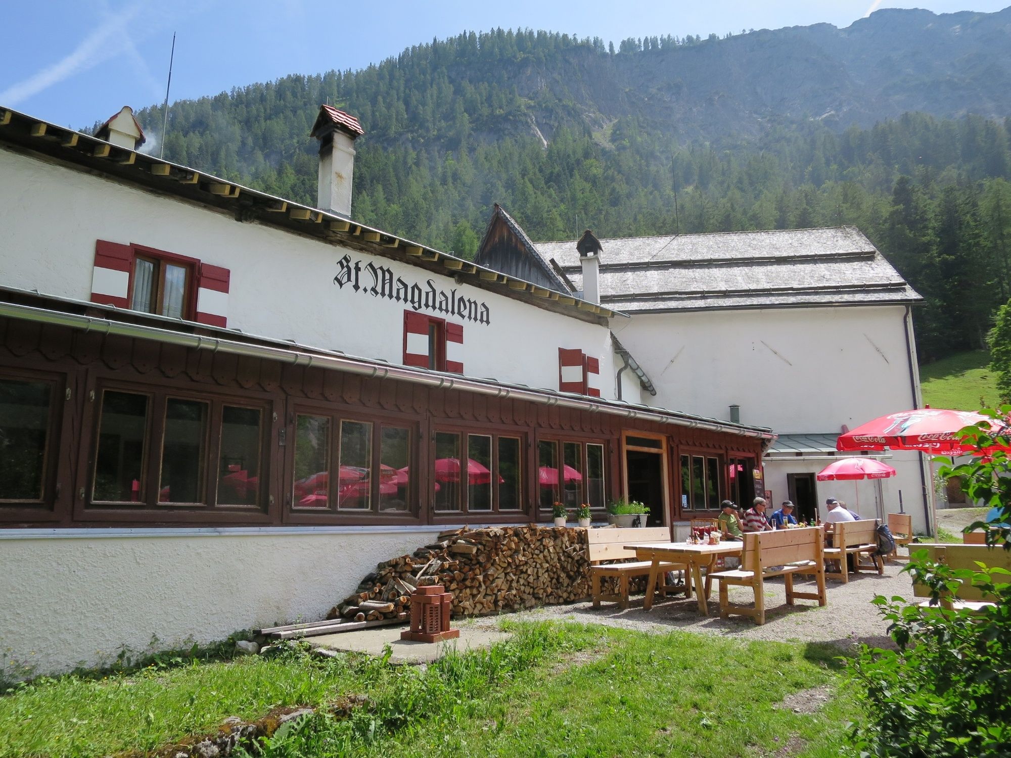
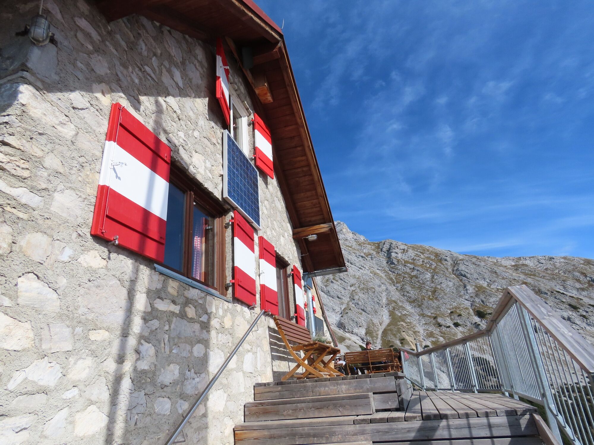
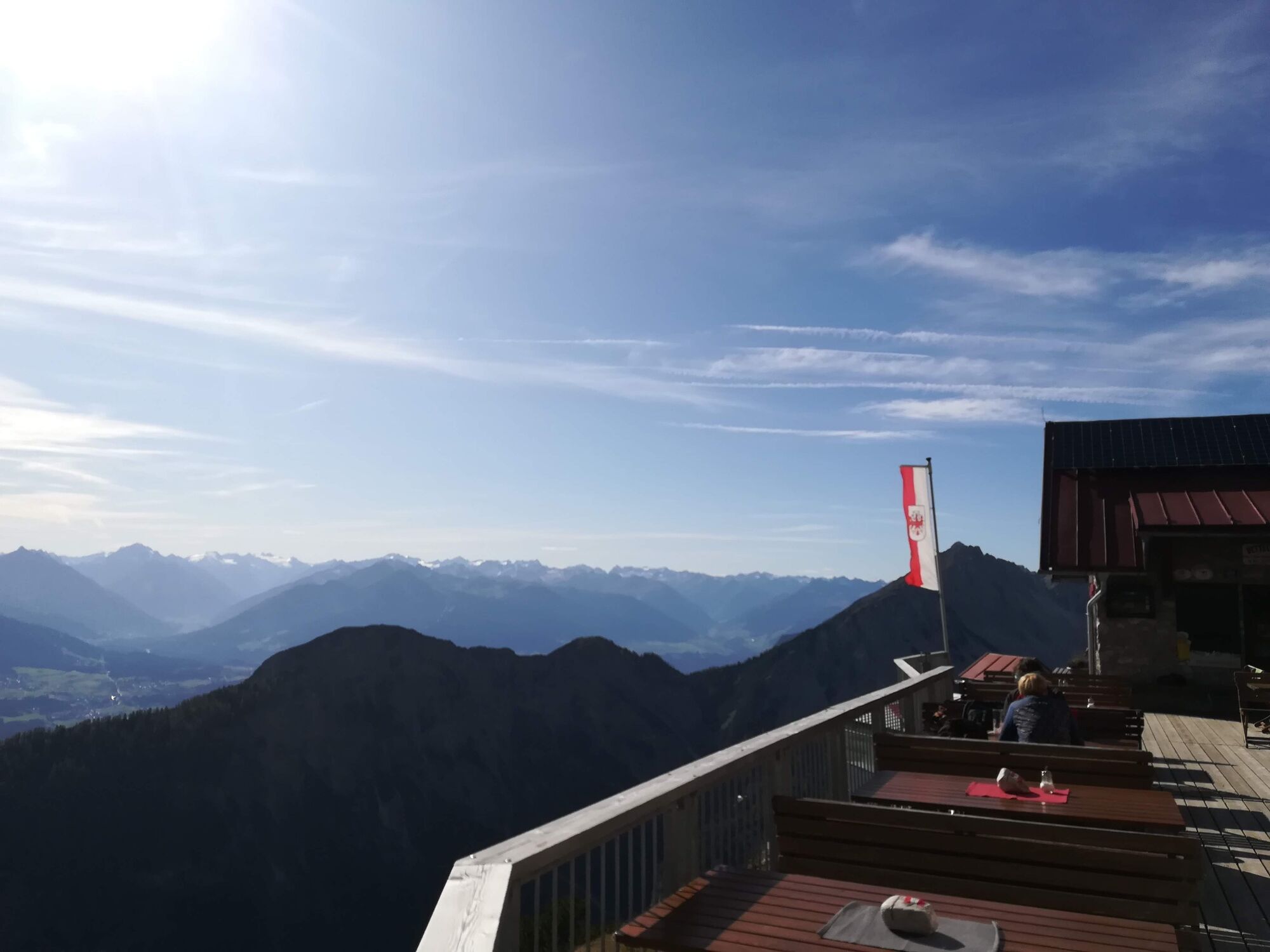
Bergerkapelle1,0 kmBettelwurfeck2,2 kmJakobibründlquelle2,2 kmKohlanger3,2 kmJausenstation St. Magdalena (1.287 m)3,4 kmErzherzogberg (1.424 m)4,8 kmHerrenhäuser (1.490 m)5,3 kmRuppertikapelle5,3 kmIssjöchl (1.668 m)6,4 kmKohlstatt (1.978 m)8,6 kmBettelwurfhütte (2.077 m)12,8 kmBeim Juchezer14,1 kmGamsgufel15,5 kmUntere Bettelwurfreise15,6 kmBergerkapelle17,2 km
- Najlepszy sezon
-
stylutmarkwimajczelipsiewrzpaźlisgru
- Najwyższy punkt
- 2.181 m
- Miejsce docelowe
-
Halltal Parkplatz
- Profil wysokości
-


- Autor
-
Wycieczka From the Halltal to the Bettelwurf Mountain Hut jest używany przez outdooractive.com pod warunkiem.
GPS Downloads


Informacje ogólne
Przystanek odświeżania
Wskazówka dla osób mających dostęp do poufnych informacji
Obiecujący
Więcej wycieczek w regionach
-
Ferienregion Hall - Wattens
1479
-
Absam
344


