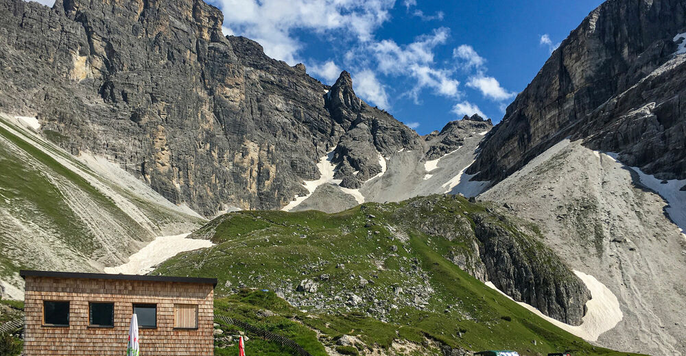
© TVB Wipptal
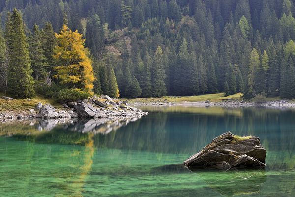
© Tirol Werbung
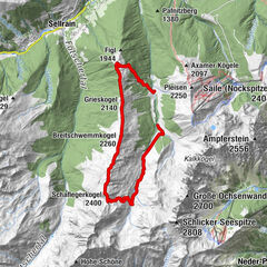
Dane wycieczki
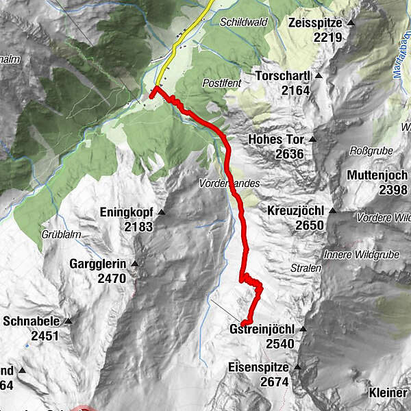
4,74km
1.279
- 2.058m
774hm
774hm
02:30h
- Krótki opis
-
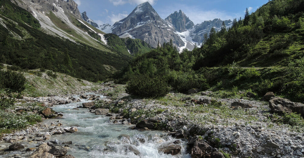
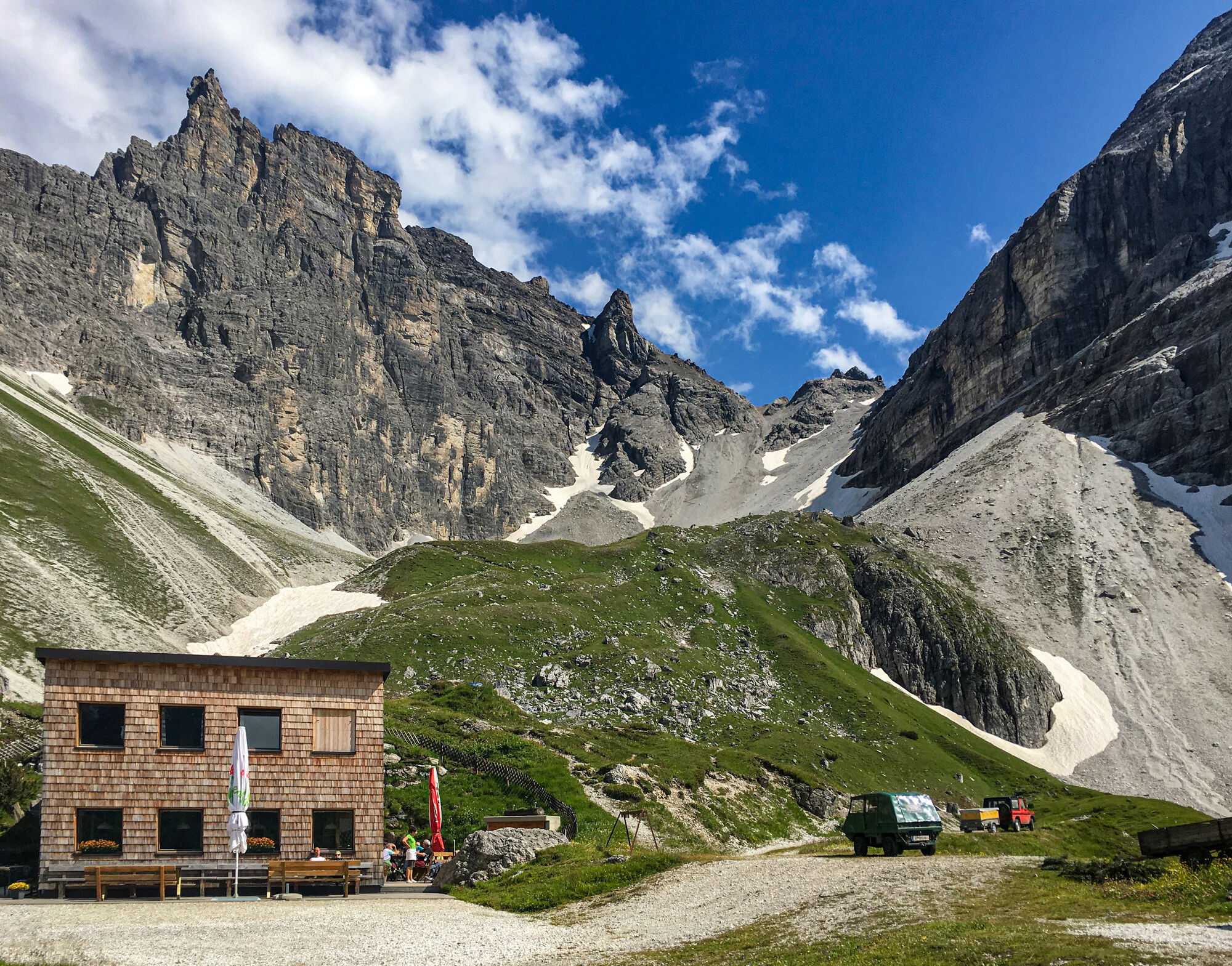
Der Gschnitzer- und Pflerscher Tribulaun wachen hoch über der Gschnitzer Tribulaunhütte. Imposante Gipfel sind zum Greifen nahe!
- Stopień trudności
-
średni
- Ocena
-
- Punkt wyjścia
-
Gschnitz
- Trasa
-
Feuerstein0,0 kmObertal0,1 kmAlmhütte Mühlendorf0,2 kmKapelle St. Josef0,2 kmTribulaunhaus4,7 km
- Najwyższy punkt
- 2.058 m
- Miejsce docelowe
-
Gschnitzer Tribulaunhütte
- Odpoczynek/Odosobnienie
-
Tribulaunhütte
- Mapy
-
Mayr Karte 1:35 000 Wipptal

GPS Downloads


Warunki na szlaku
Asfalt
Żwir
Łąka
Las
Skała
Wyeksponowany
Więcej wycieczek w regionach
-
Brixen und Umgebung
1976
-
Gschnitztal
1039
-
Gschnitz
331