

© Tourismusverband Region Hall-Wattens - Moritz Klee

© Tourismusverband Region Hall-Wattens - Hall Wattens

© Tourismusverband Region Hall-Wattens - Hall Wattens
- Krótki opis
-
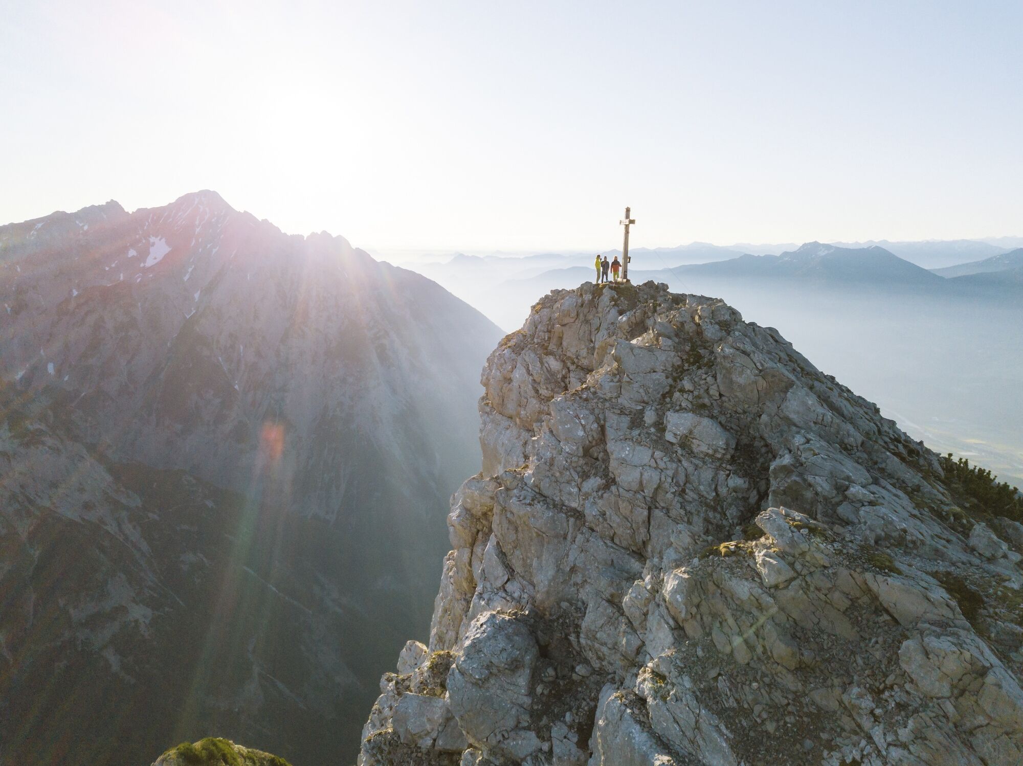
An unobstructed view from the Hundskopf - with a little imagination and the right viewing point, it will become obvious how the Hundskopf (Dog's Head) gets its name
- Stopień trudności
-
ciężkie
- Ocena
-
- Trasa
-
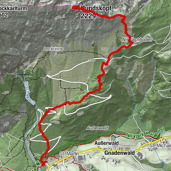
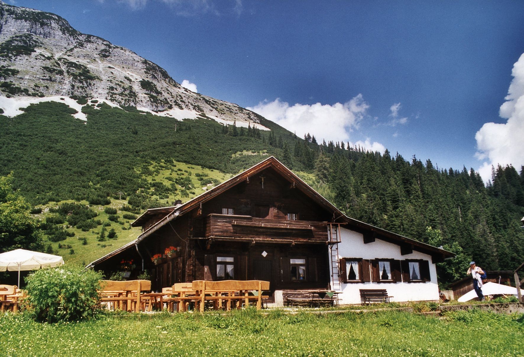
Martlboden1,9 kmHinterhorn Alm2,7 kmHundskopf (2.229 m)4,8 km
- Najlepszy sezon
-
stylutmarkwimajczelipsiewrzpaźlisgru
- Najwyższy punkt
- 2.222 m
- Miejsce docelowe
-
Hundskopf
- Profil wysokości
-

- Autor
-
Wycieczka Gnadenwald - Hinterhornalm - Hundskopf jest używany przez outdooractive.com pod warunkiem.
GPS Downloads


Informacje ogólne
Przystanek odświeżania
Obiecujący
Więcej wycieczek w regionach
-
Ferienregion Hall - Wattens
1475
-
Gnadenwald
350


