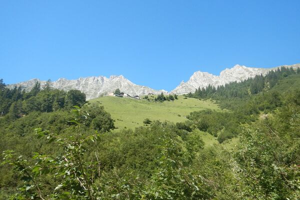
Auf einen kleinen Aussichtsgipfel neben der Thaurer Alm: Thaurer Rosskopf

Wędrówka

Dane wycieczki
9,63km
837
- 1.566m
713hm
686hm
04:00h

- Krótki opis
-
Kurze Tour auf den aussichtsreichen Thaurer Rosskopf zwischen Thaurer Alm und Vintl Alm
- Stopień trudności
-
średni
- Ocena
-
- Trasa
-
Thaurer Alm3,4 kmThaurer Rosskopf (1.574 m)4,2 kmSchihütte WSV Thaur4,9 kms`hoache Egg5,9 kmPartscheil6,6 km
- Najlepszy sezon
-
stylutmarkwimajczelipsiewrzpaźlisgru
- Najwyższy punkt
- 1.566 m
- Miejsce docelowe
-
Wanderparkplatz Thaur
- Profil wysokości
-
-

-
AutorWycieczka Auf einen kleinen Aussichtsgipfel neben der Thaurer Alm: Thaurer Rosskopf jest używany przez outdooractive.com pod warunkiem.
GPS Downloads
Informacje ogólne
Przystanek odświeżania
Wskazówka dla osób mających dostęp do poufnych informacji
Obiecujący
Więcej wycieczek w regionach


