© Alpenregion Bludenz Tourismus GmbH - Danja Sutterlüty

© Alpenregion Bludenz Tourismus GmbH - Danja Sutterlüty

© Alpenregion Bludenz Tourismus GmbH - Danja Sutterlüty

© Alpenregion Bludenz Tourismus GmbH - Danja Sutterlüty

© Alpenregion Bludenz Tourismus GmbH - Danja Sutterlüty

© Alpenregion Bludenz Tourismus GmbH - Danja Sutterlüty

© Alpenregion Bludenz Tourismus GmbH - Danja Sutterlüty

© Vorarlberg Tourismus GmbH

- Krótki opis
-
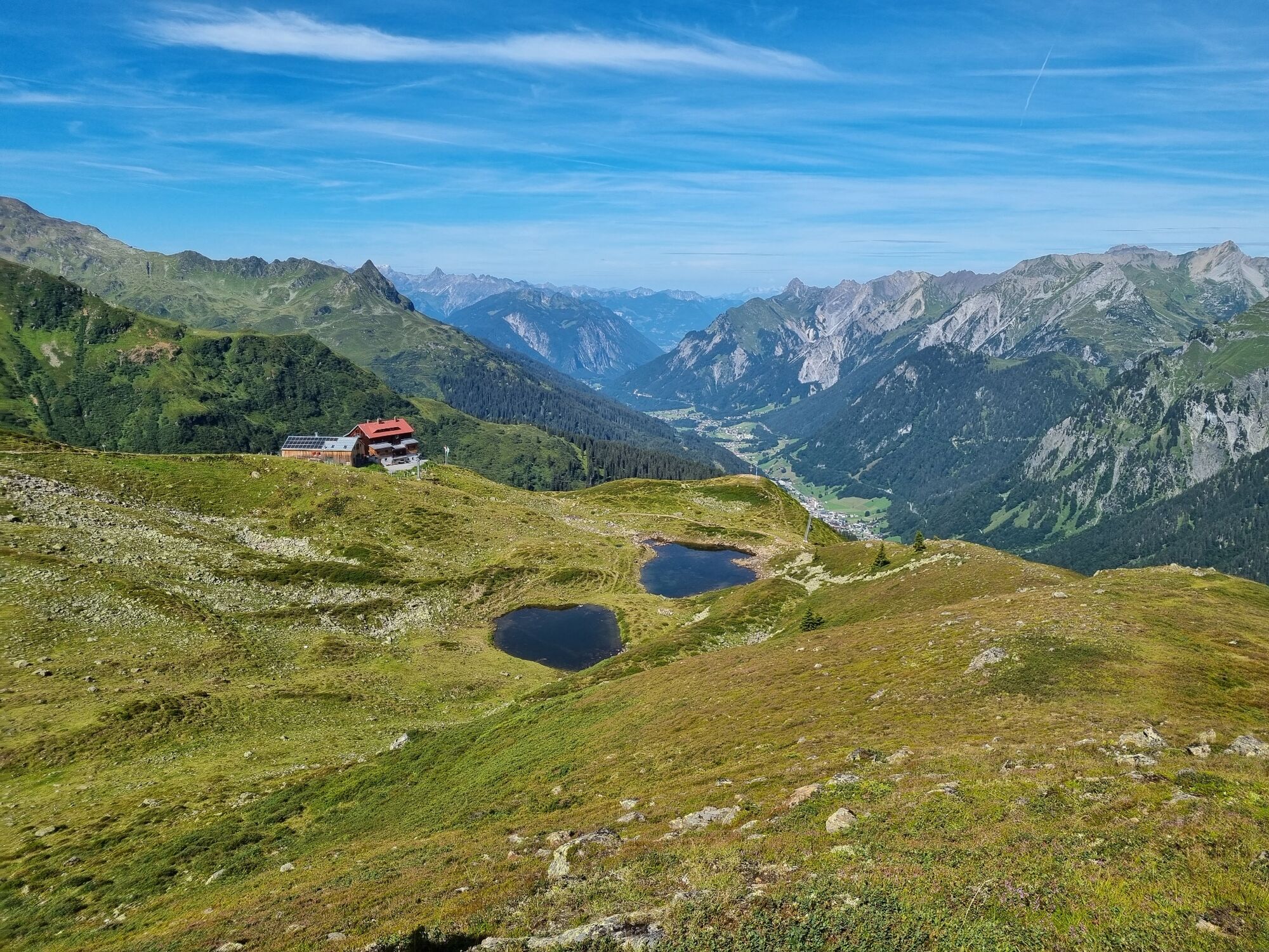
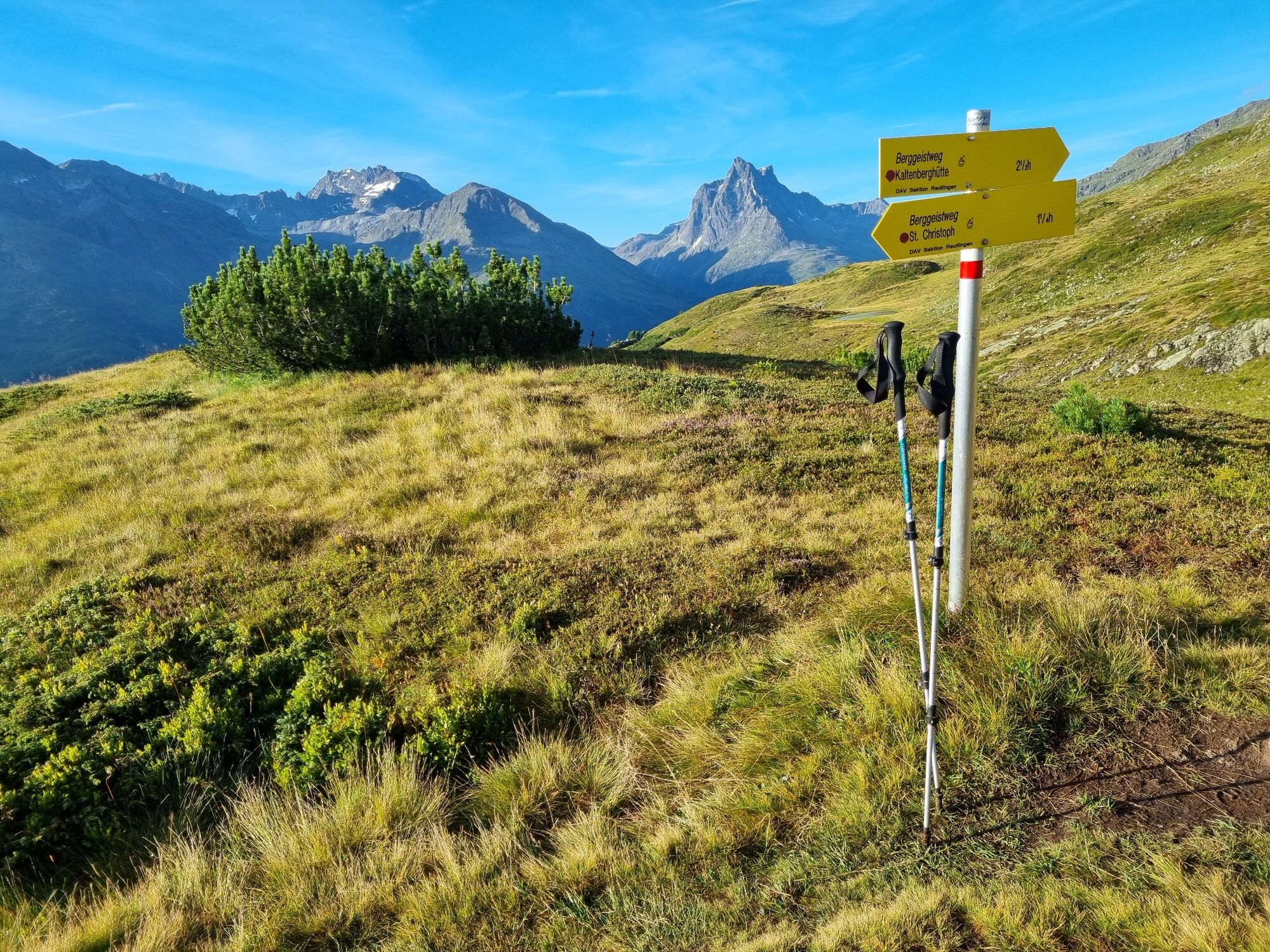
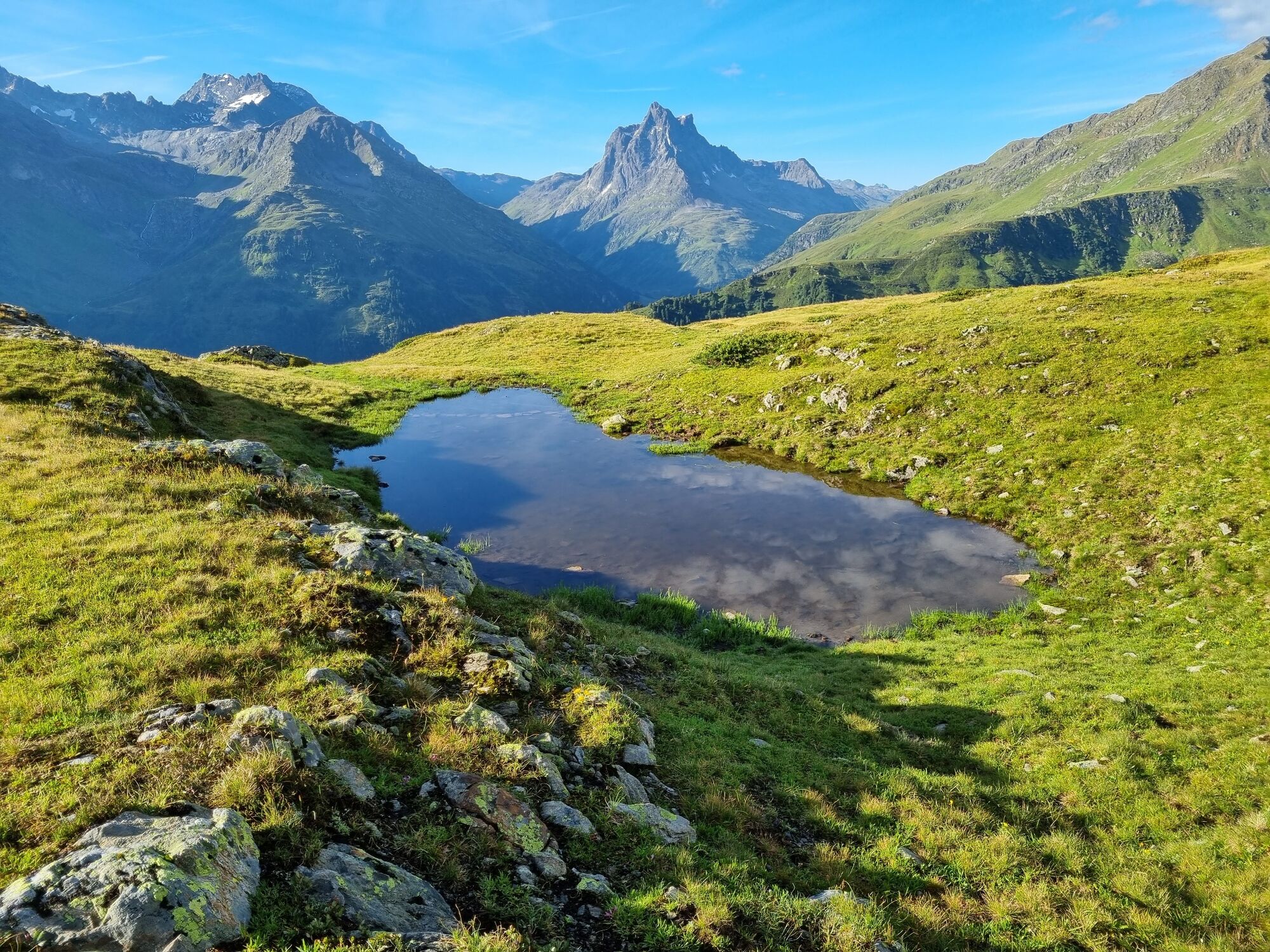
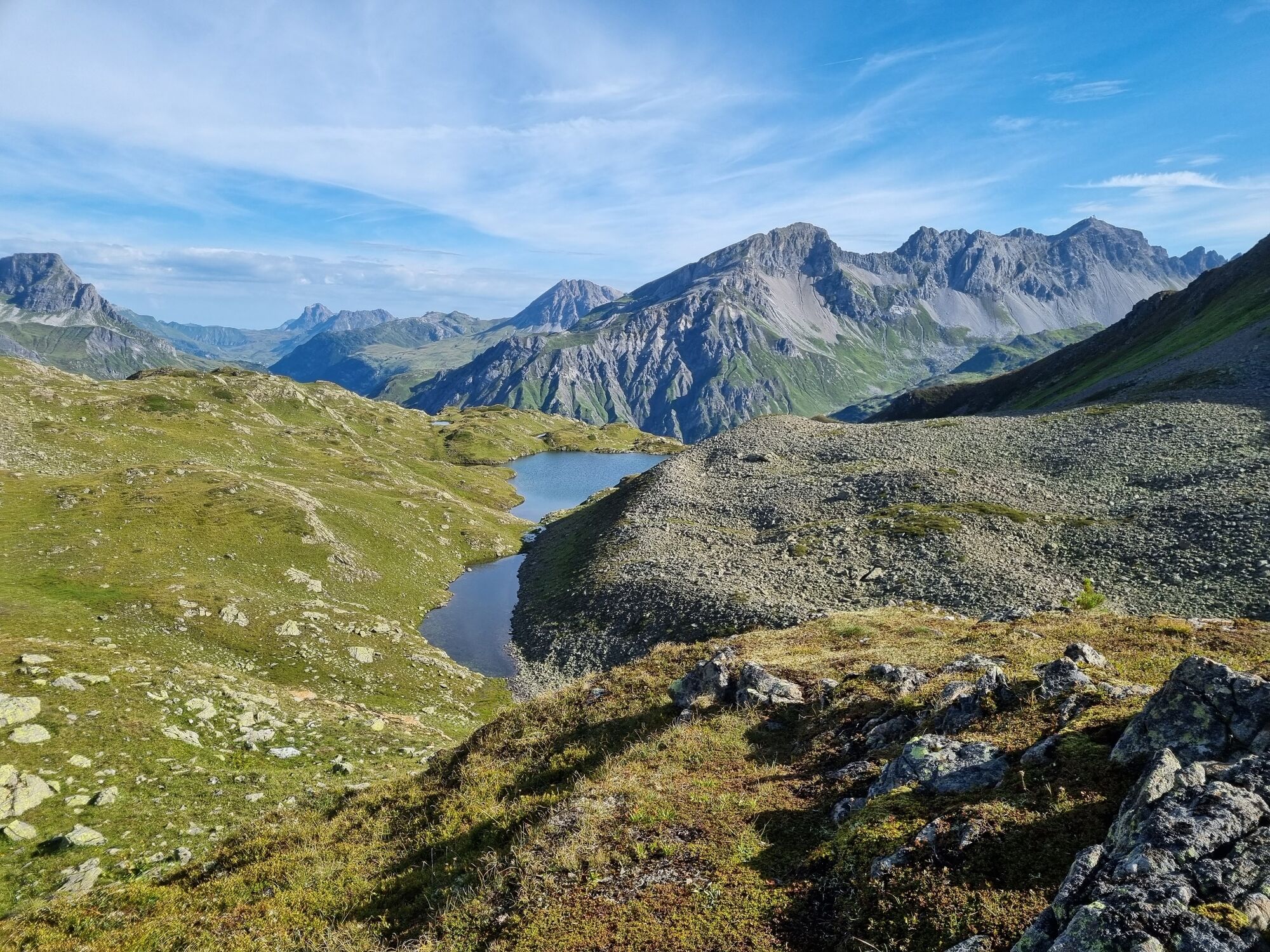
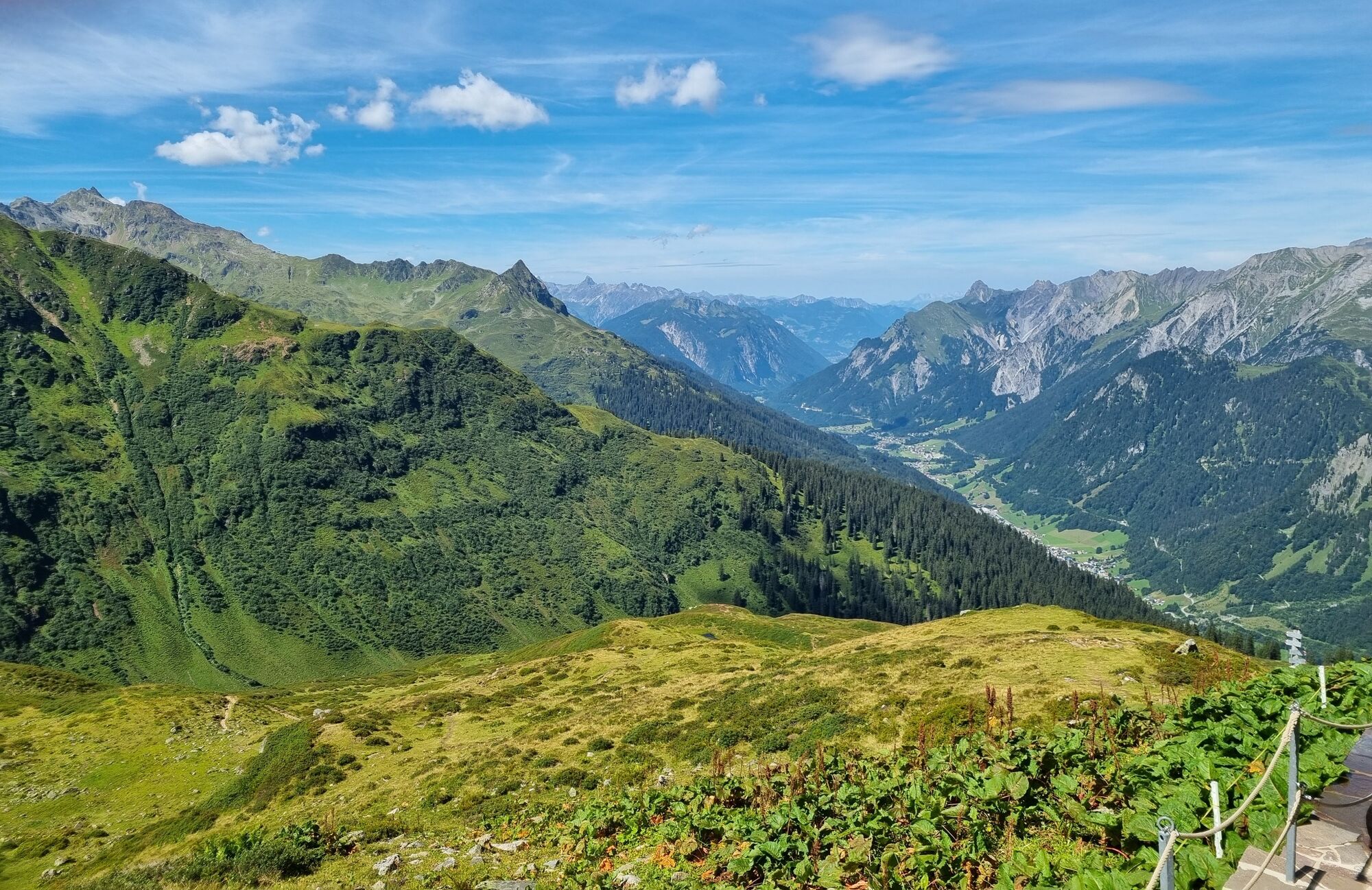
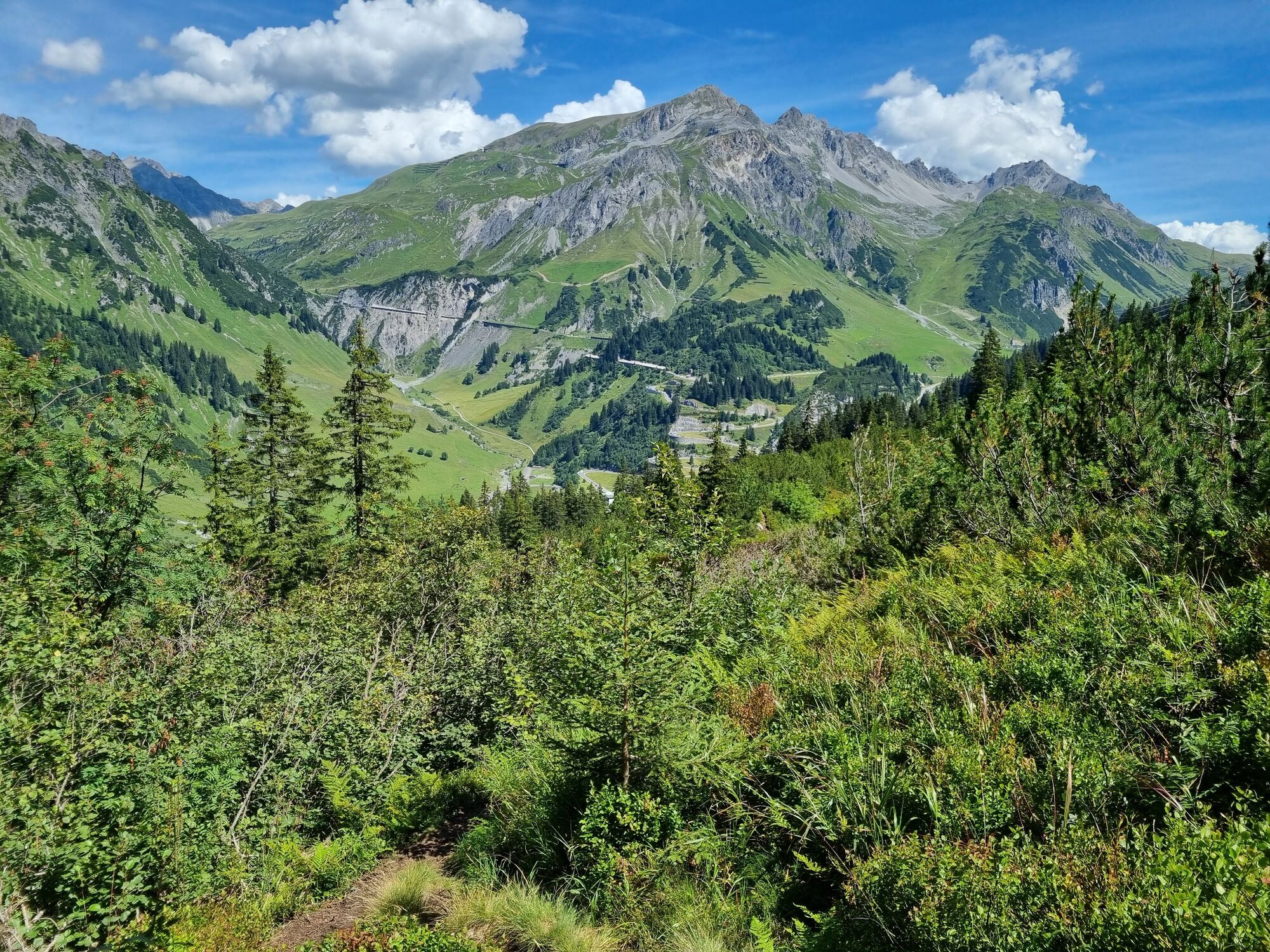
Very scenic hike from St. Christoph via the Berggeistweg to the Kaltenberg Hütte and then back to Klostertal.
- Stopień trudności
-
średni
- Ocena
-
- Trasa
-
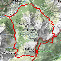
ChristophoruskapelleSt. Christoph (1.765 m)0,0 kmMilchboden4,5 kmUnteres Maroijöchle5,5 kmAlbonasattel5,8 kmAlbonagratstube6,6 kmKaltenberghütte9,0 kmChristophoruskapelle15,4 kmSt. Christoph (1.765 m)15,4 km
- Najlepszy sezon
-
stylutmarkwimajczelipsiewrzpaźlisgru
- Najwyższy punkt
- 2.363 m
- Miejsce docelowe
-
St. Christoph am Arlberg
- Profil wysokości
-


- Autor
-
Wycieczka Kaltenberg Hütte | St. Christoph-Klostertal jest używany przez outdooractive.com pod warunkiem.
GPS Downloads


Informacje ogólne
Przystanek odświeżania
Obiecujący
Więcej wycieczek w regionach
-
Arlberg
1721
-
Stuben am Arlberg
310