© Füssen Tourismus und Marketing - Günter Salchner

© Outdooractive Redaktion - mlaessig

- Krótki opis
-
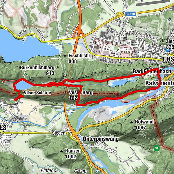
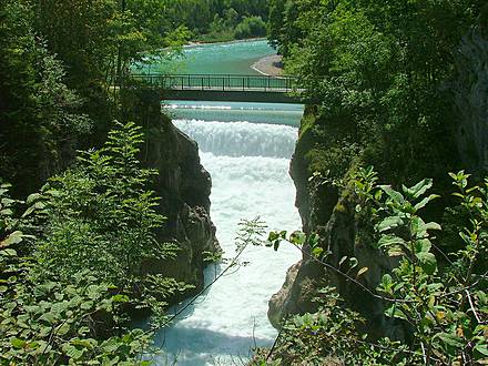
Der Lechfall ist ein in ganzer Breite überströmtes Stauwehr, das bereits Ende des 18 Jhd. erreichtet wurde. Er befindet sich am südlichen Stadtrand der Stadt Füssen im Allgäu.
- Stopień trudności
-
łatwe
- Ocena
-
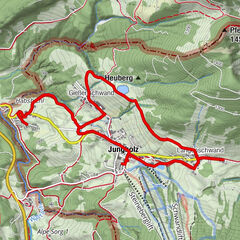
- Trasa
-
Hotel & Restaurant Alatsee1,4 kmBad Faulenbach5,3 kmSt. Max5,4 kmFüssen (808 m)5,5 kmLechfall6,0 kmUnterberg8,8 km
- Najlepszy sezon
-
stylutmarkwimajczelipsiewrzpaźlisgru
- Najwyższy punkt
- 908 m
- Miejsce docelowe
-
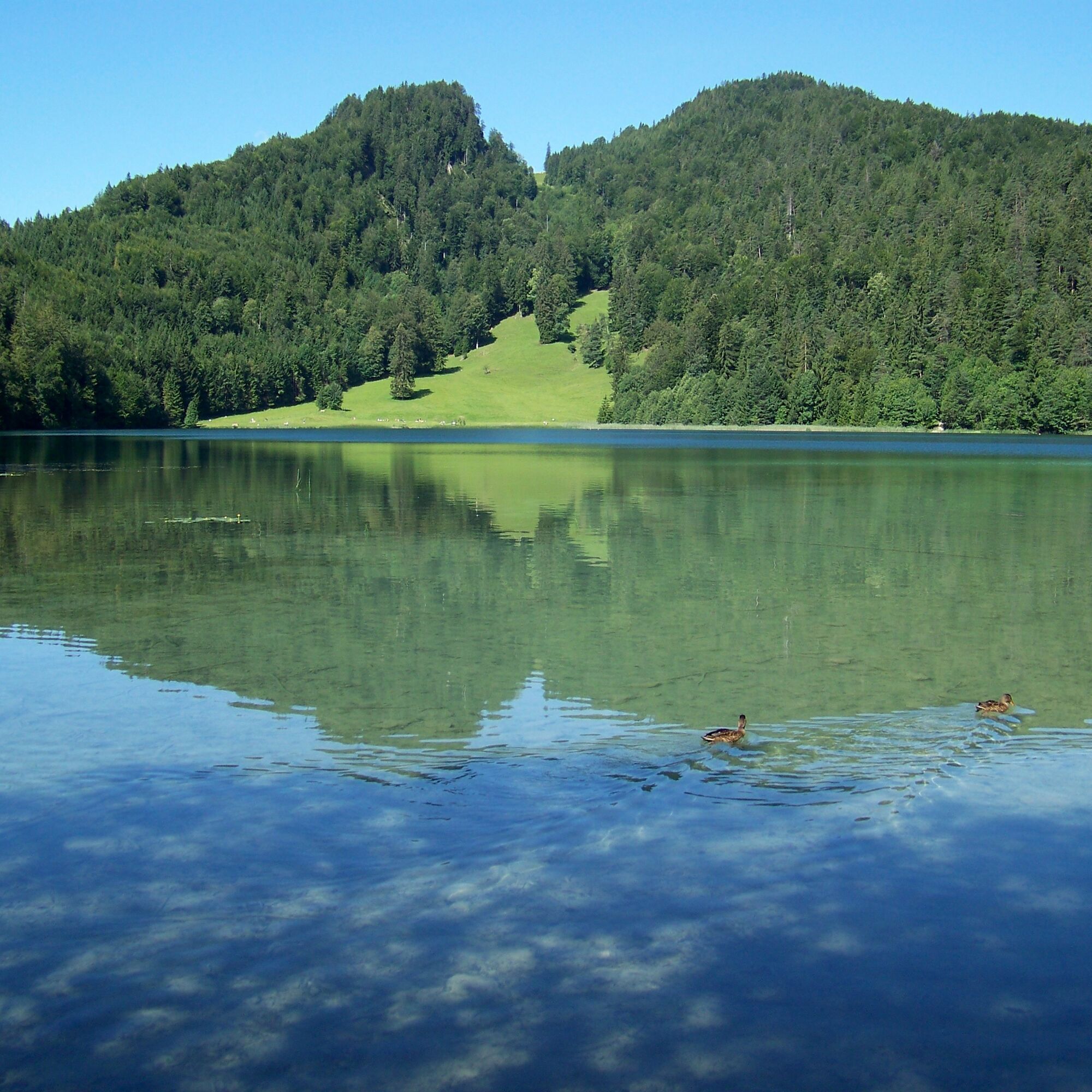
Alatsee Vils
- Profil wysokości
-

- Autor
-
Wycieczka Lechfall Runde jest używany przez outdooractive.com pod warunkiem.
GPS Downloads


Informacje ogólne
Wskazówka dla osób mających dostęp do poufnych informacji
Obiecujący