© Tannheimer Tal - Tourismusverband Tannheimer Tal

© Tannheimer Tal - Tourismusverband Tannheimer Tal

© Tannheimer Tal - Tourismusverband Tannheimer Tal

© Tannheimer Tal - Tourismusverband Tannheimer Tal

© Ferienregion Tannheimer Tal

© Ferienregion Tannheimer Tal

© Tannheimer Tal - TVB Tannheimer Tal
- Krótki opis
-
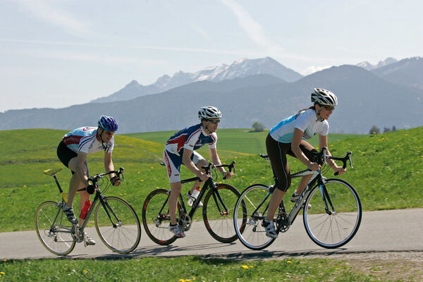
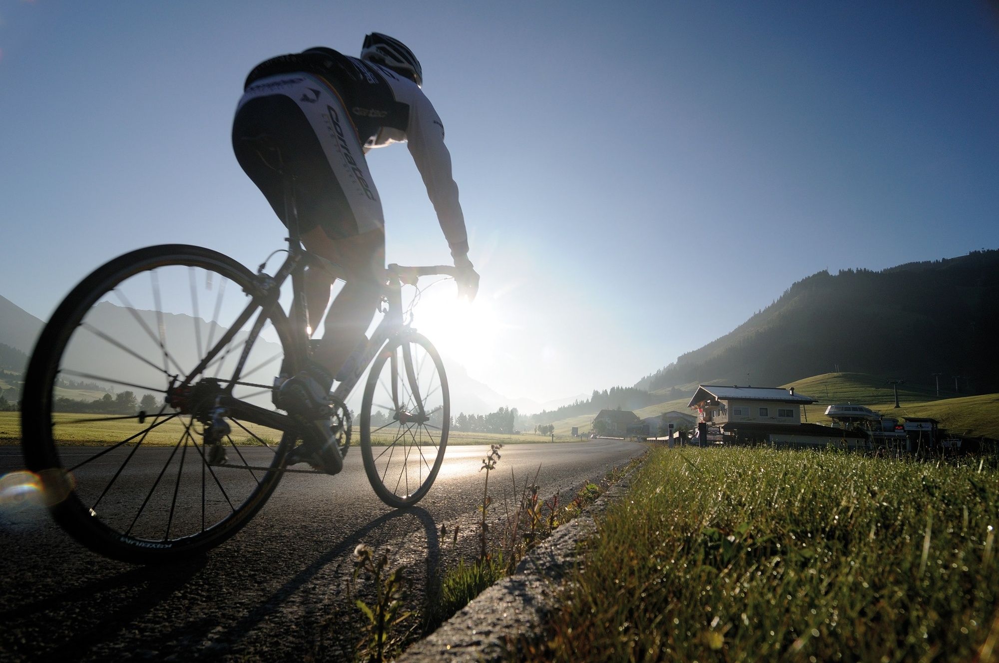
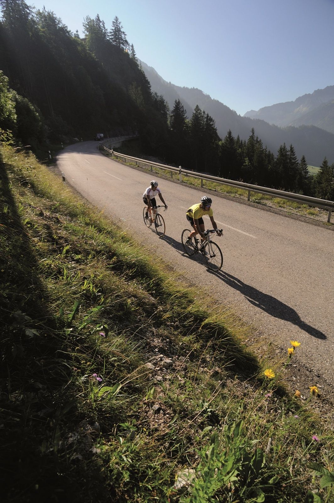
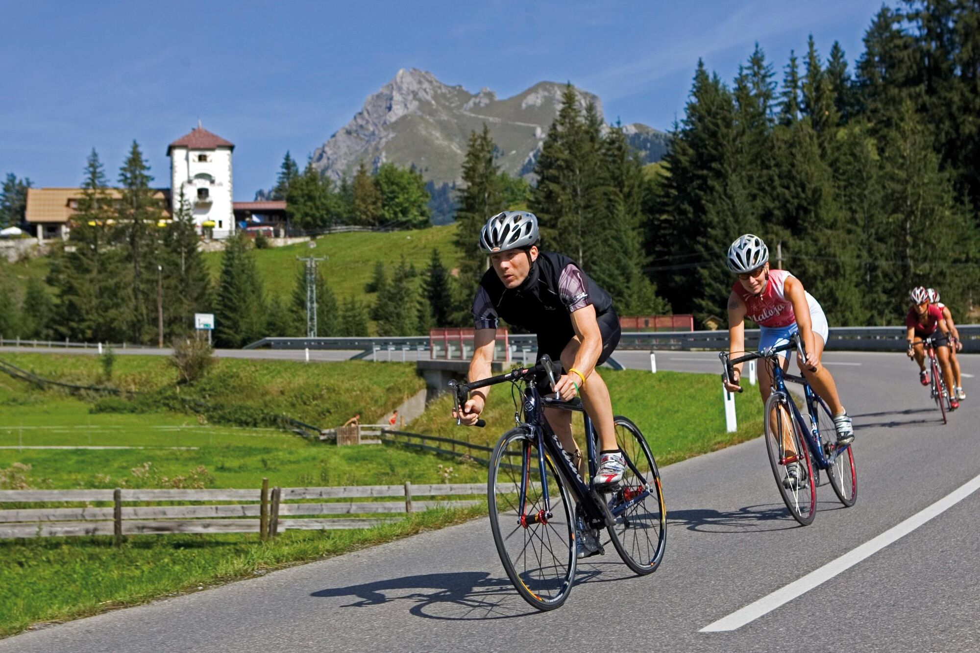
Enjoy the fantastic landscape of the Tannheimer Tal and the neighbouring Allgäu
- Stopień trudności
-
średni
- Ocena
-
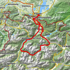
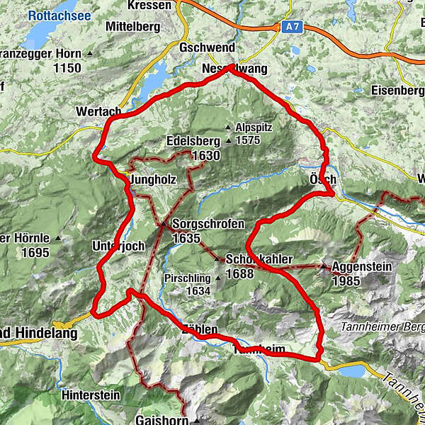
- Trasa
-
Tannheim (1.097 m)0,5 kmNeu Kienzen0,9 kmKienzen1,0 kmZöblen (1.087 m)3,8 kmSchattwald (1.072 m)4,9 kmSteig6,0 kmKaminstube9,1 kmOberjoch10,5 kmObergschwend13,0 kmUnterjoch14,2 kmMariä Himmelfahrt14,8 kmEnthalb der Ach21,0 kmBuron Stadl24,4 kmReichenbach26,6 kmBayerstetten27,3 kmIm Gern27,7 kmIm Brand28,6 kmAm Mühlbach28,7 kmOberer Markt28,9 kmPfarrkirche St. Andreas29,0 kmNesselwang29,1 kmMittlerer Markt29,2 kmÄußerer Markt29,3 kmObere Wank29,8 kmWank30,9 kmKappel32,3 kmGasthof Engel - Alps Hostel32,5 kmSt. Martin32,6 kmWeißbach34,3 kmKapelle St.Sebastian34,3 kmBerg35,4 kmGedenken an Kriegsgefallene35,6 kmRied36,1 kmPfronten36,2 kmHeitlern36,4 kmSt. Leonhardskirche36,4 kmDorf36,8 kmÖsch37,1 kmSt. Koloman37,2 kmSteinach37,9 kmSeealp46,1 kmEnge48,1 kmWasserscheide Vils/Steinacher Achen (1145m)48,7 kmMichaelskapelle48,8 kmLumberg48,9 kmSt. Nepomuk-Kapelle49,3 kmGrän (1.138 m)50,1 kmSt. Wendelin50,1 kmTannheim (1.097 m)53,3 km
- Najlepszy sezon
-
stylutmarkwimajczelipsiewrzpaźlisgru
- Najwyższy punkt
- 1.173 m
- Miejsce docelowe
-
Tannheim
- Profil wysokości
-


- Autor
-
Wycieczka Engetal round jest używany przez outdooractive.com pod warunkiem.
GPS Downloads


Informacje ogólne
Przystanek odświeżania
Flora
Fauna
Obiecujący
Więcej wycieczek w regionach
-
Allgäu
65
-
Tannheimer Tal
52
-
Jungholz
16