© TVB Tannheimer Tal

© Tannheimer Tal - Tourismusverband Tannheimer Tal

© Tannheimer Tal - Tourismusverband Tannheimer Tal

© Tannheimer Tal - Tourismusverband Tannheimer Tal
© Tannheimer Tal - Tourismusverband Tannheimer Tal

© Tannheimer Tal - Tourismusverband Tannheimer Tal

© Tannheimer Tal - Tourismusverband Tannheimer Tal

© Tannheimer Tal - Tourismusverband Tannheimer Tal

© Tannheimer Tal - Tourismusverband Tannheimer Tal

© Tannheimer Tal - Florian Müller
- Krótki opis
-
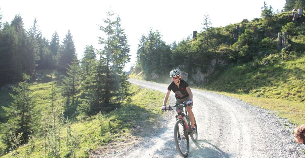
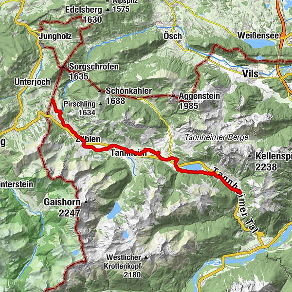
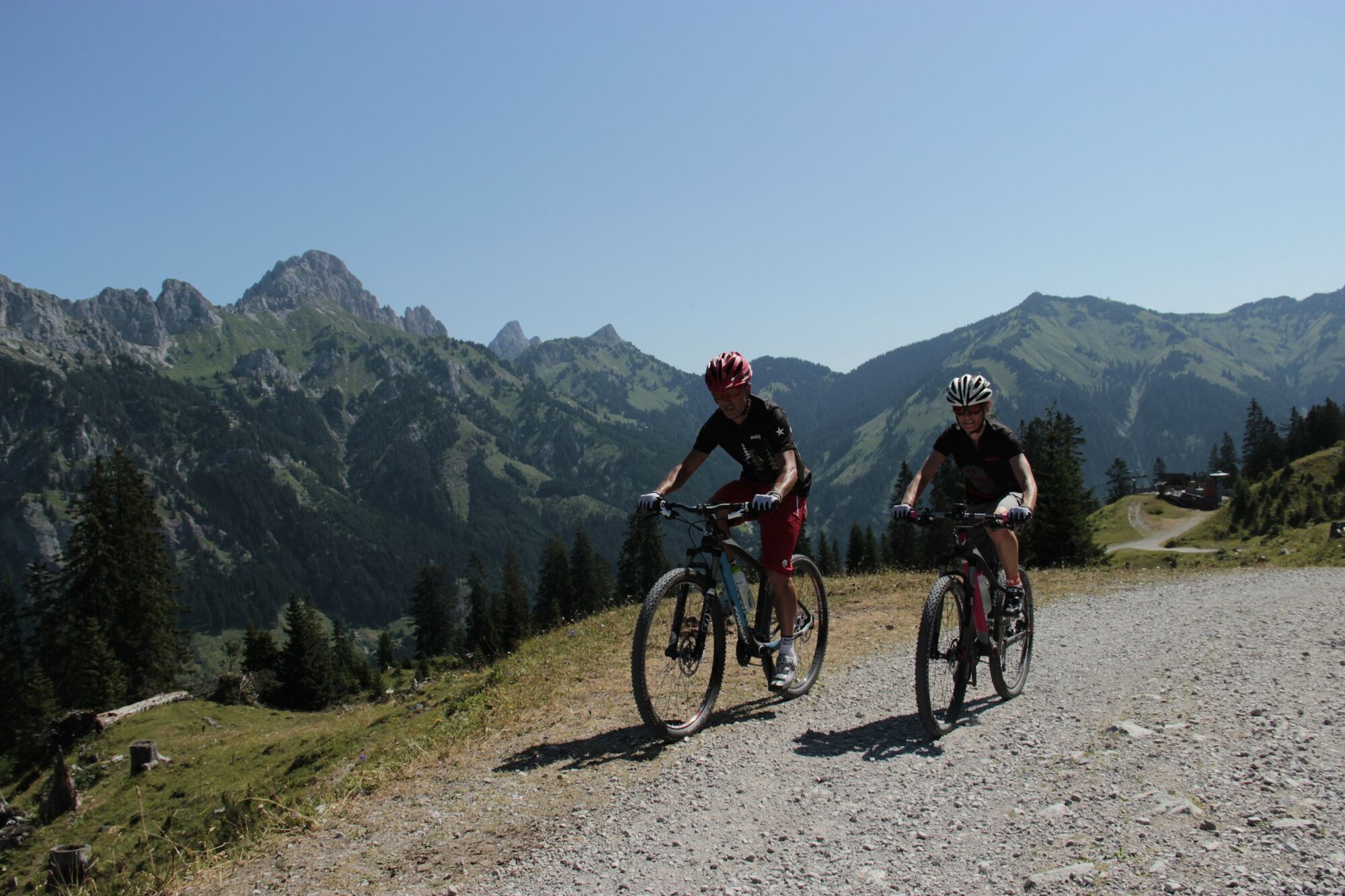
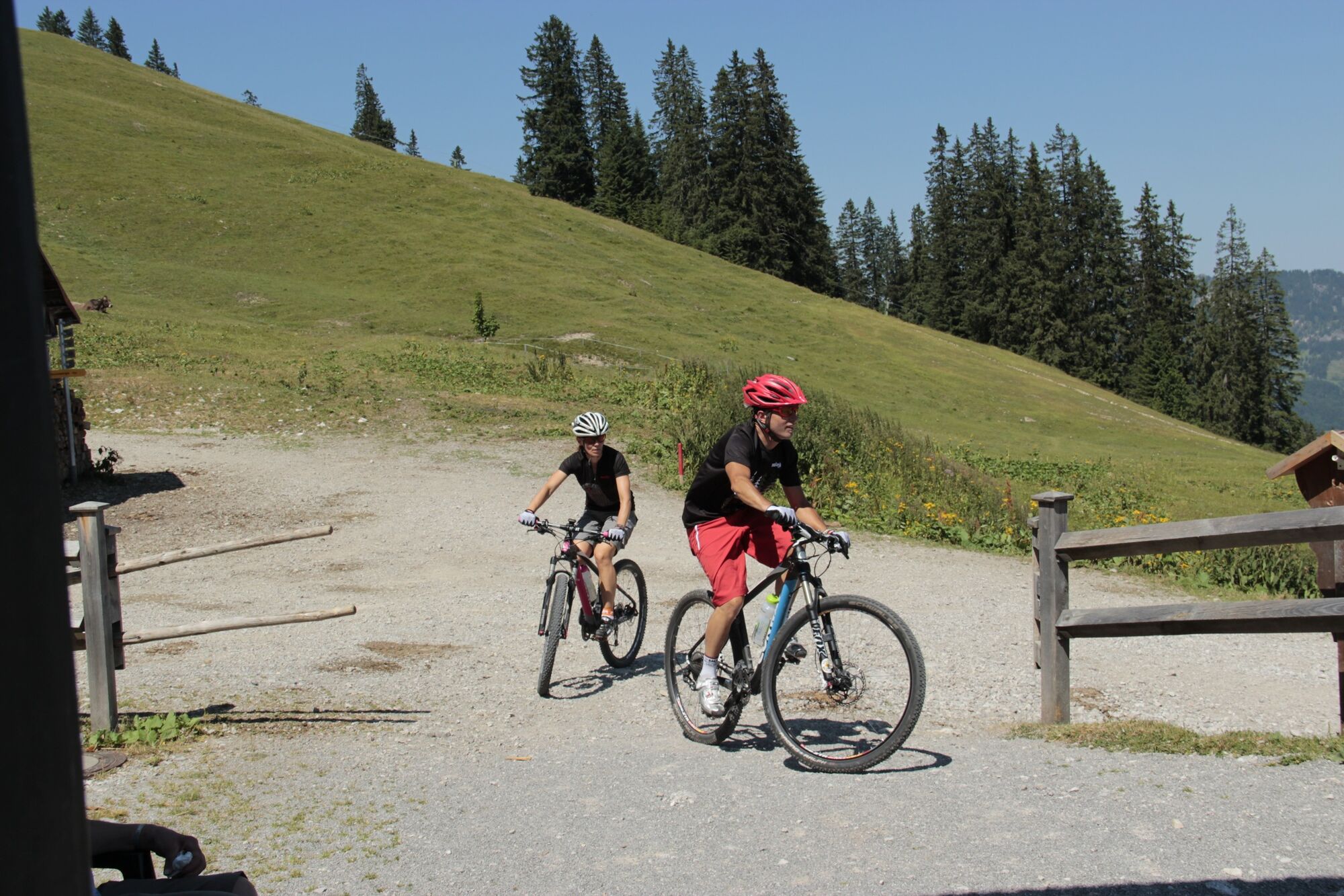
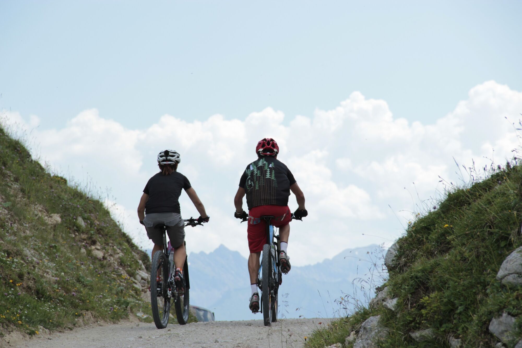
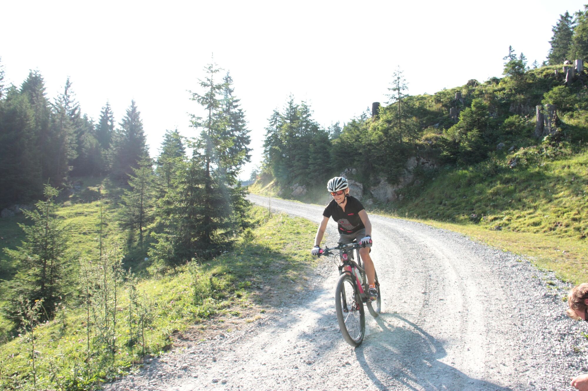
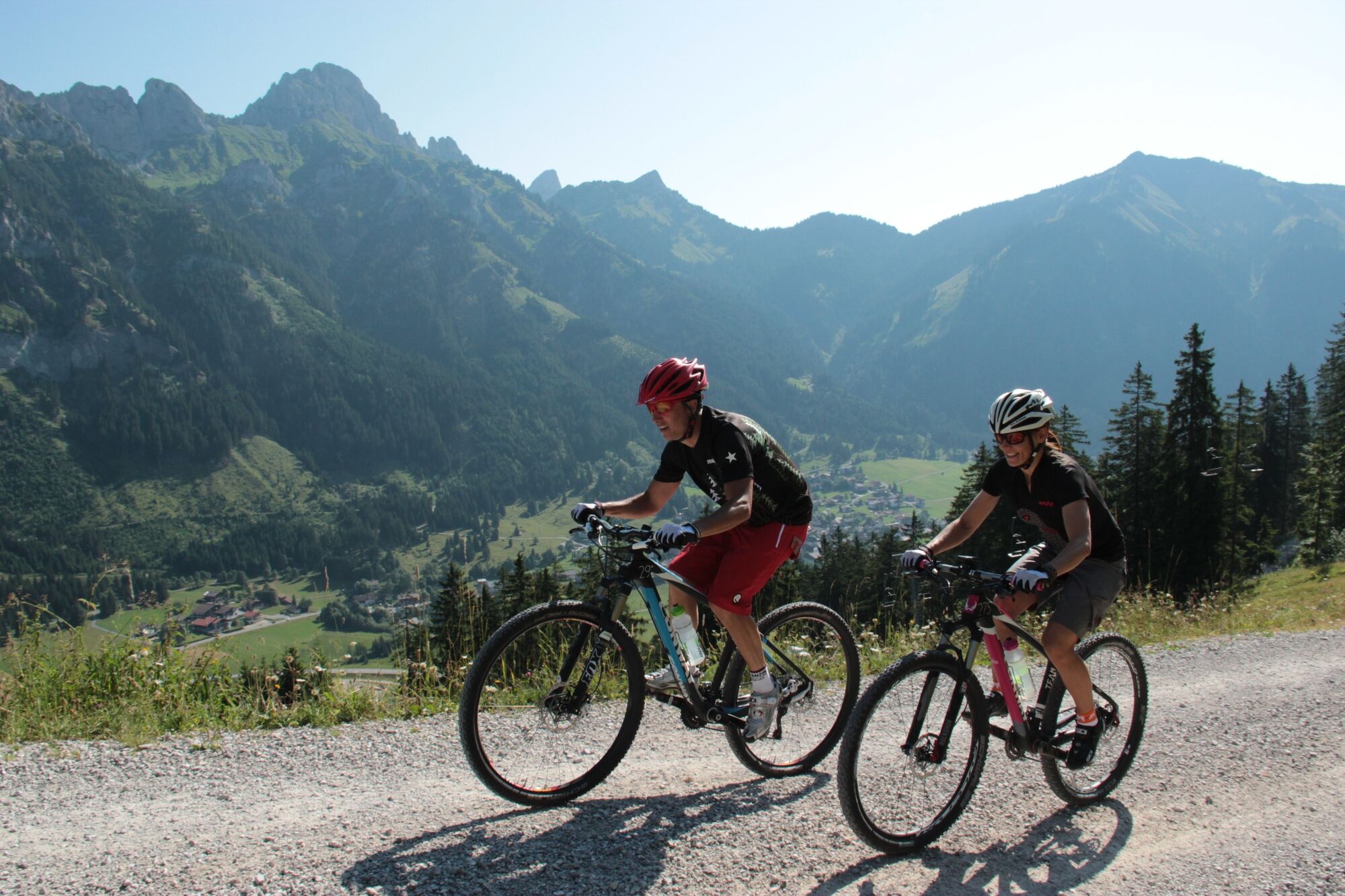
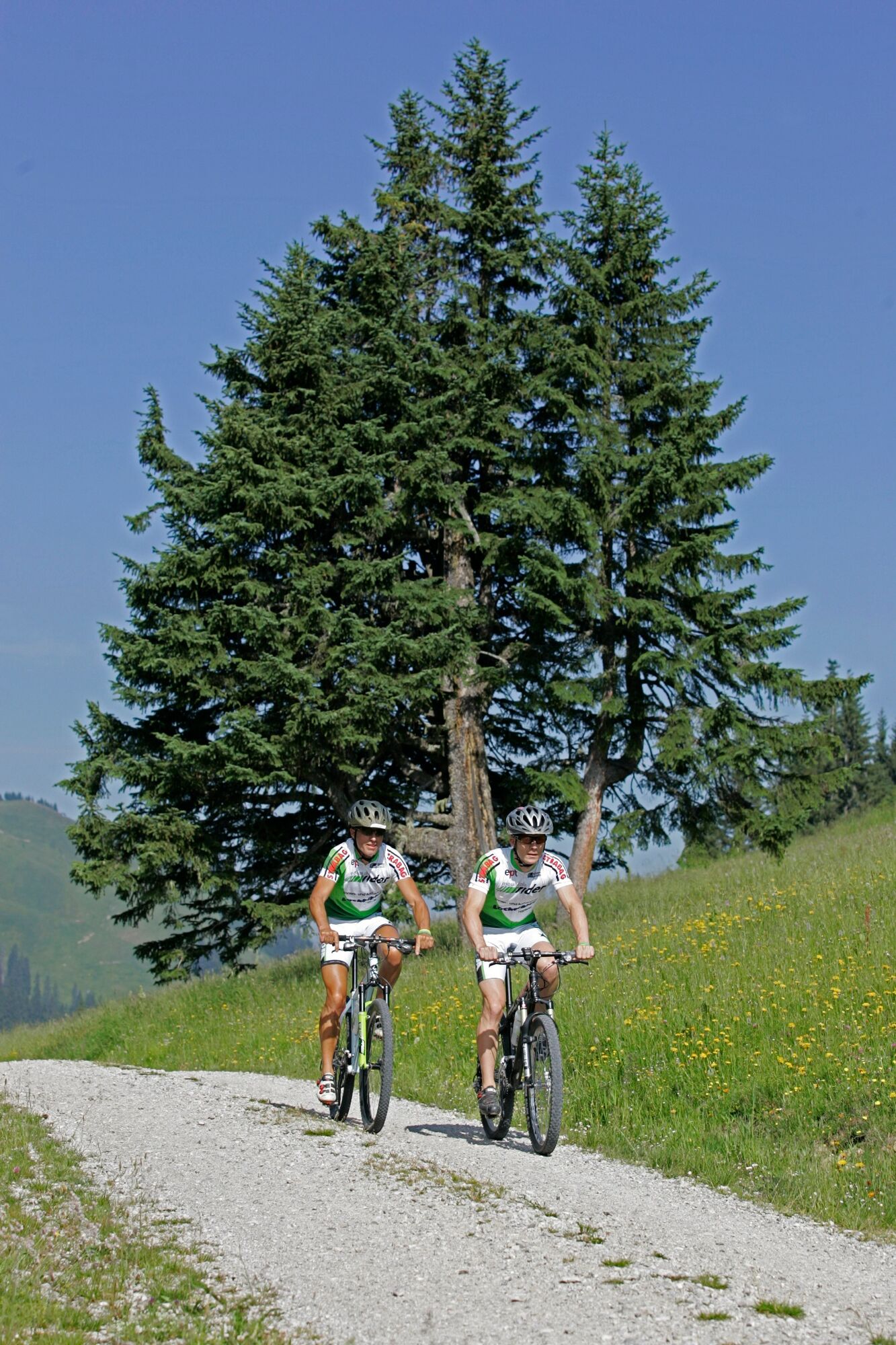
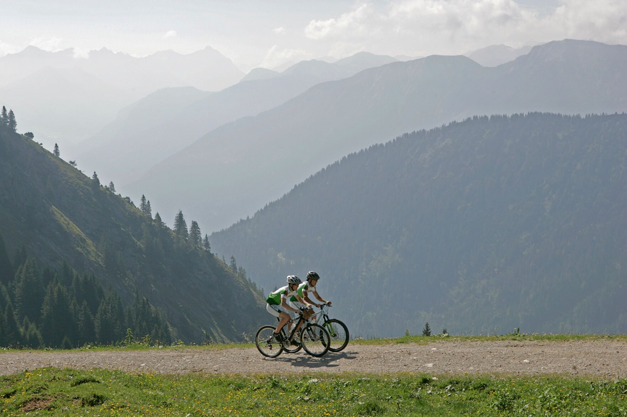
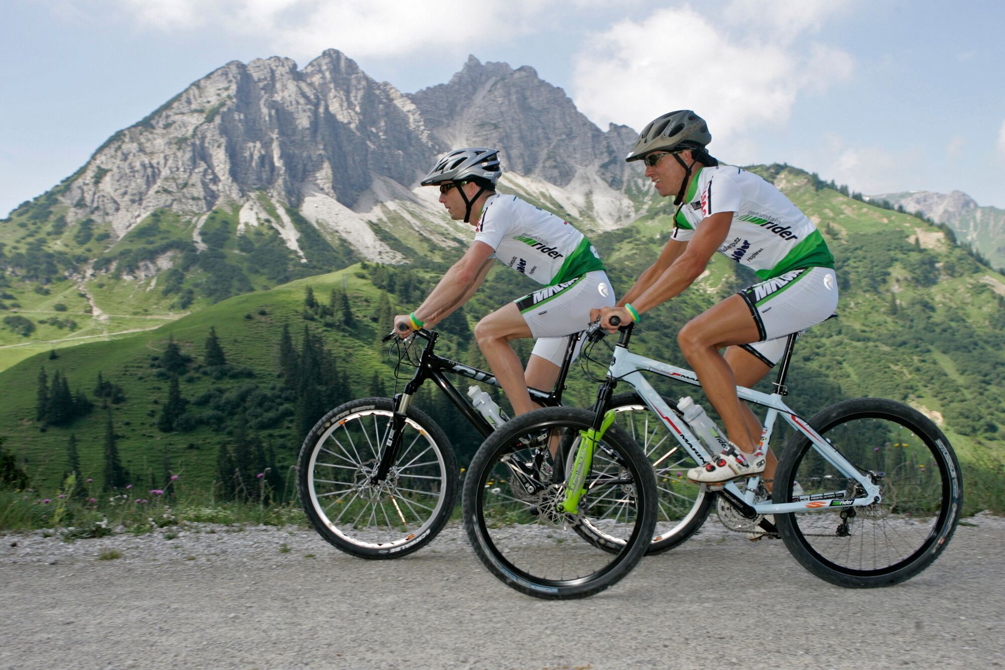
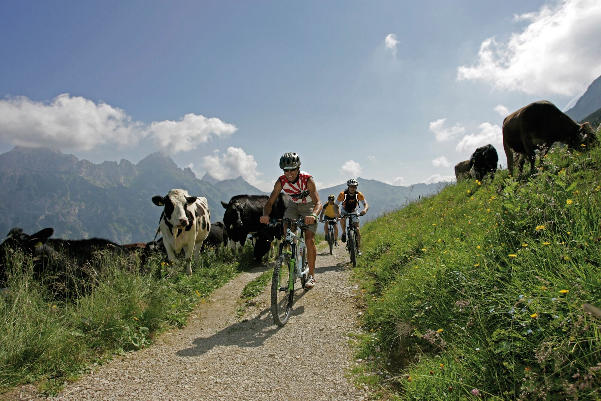
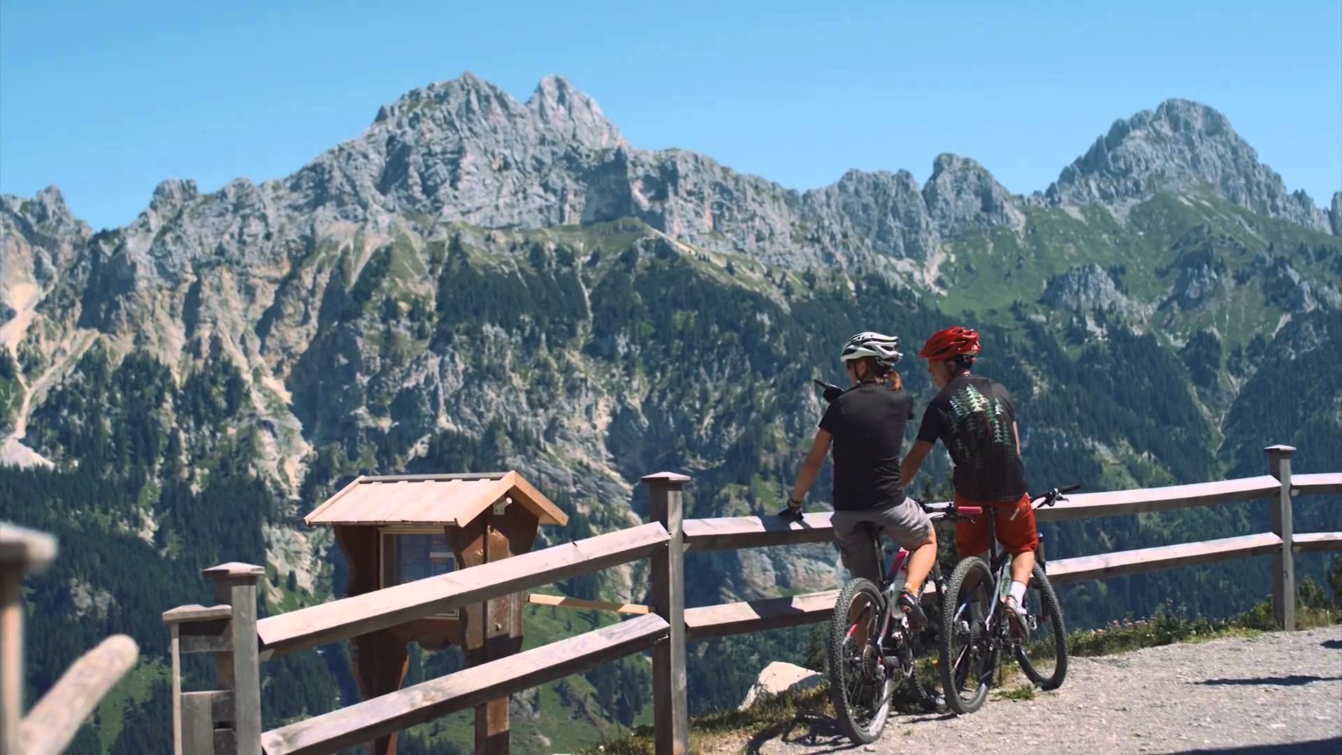
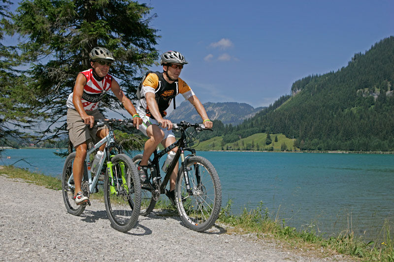
Enjoy the Tannheimer Tal on the bike.
- Stopień trudności
-
średni
- Ocena
-
- Trasa
-
Nesselwängle (1.136 m)1,2 kmKrinnenalpe1,9 kmSchmitte2,3 kmTauscher's Alm5,1 kmSt. Jakobus5,5 kmHaldensee5,7 kmGrän (1.138 m)6,5 kmInnergschwend9,1 kmTannheim (1.097 m)10,7 kmFischteich13,2 kmZöblen (1.087 m)14,7 kmFricken15,6 kmHaus Schattwald (1.100 m)15,7 kmSchattwald (1.072 m)15,9 kmWies16,1 kmSteig16,9 km
- Najlepszy sezon
-
stylutmarkwimajczelipsiewrzpaźlisgru
- Najwyższy punkt
- 1.164 m
- Miejsce docelowe
-
Landhotel Rehbach in Schattwald (exit from the tour possible on the whole valley level)
- Profil wysokości
-


- Autor
-
Wycieczka Cycle path Tannheimer Tal - cycling jest używany przez outdooractive.com pod warunkiem.
GPS Downloads


Informacje ogólne
Przystanek odświeżania
Flora
Fauna
Obiecujący
Więcej wycieczek w regionach
-
Allgäu
389
-
Tannheimer Tal
151
-
Tannheim
30