© Tourismusverband Region Hall-Wattens - Hall Wattens

© Tourismusverband Region Hall-Wattens - Hall Wattens
- Krótki opis
-
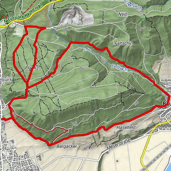
The initially nice and even hiking trail heading toward Baumkirchen connects the two starting points of Mils and Bogner Aste via a strong uphill gradient in the Baumkirchental Valley
- Stopień trudności
-
średni
- Ocena
-
- Trasa
-
Baumkirchen (593 m)2,9 kmBaumkirchner Tal4,5 kmObere Neissquellen4,6 kmGrüntal5,2 km
- Najlepszy sezon
-
stylutmarkwimajczelipsiewrzpaźlisgru
- Najwyższy punkt
- 807 m
- Miejsce docelowe
-
Milser Sportplatz
- Profil wysokości
-


- Autor
-
Wycieczka Baumkirchner forest circuit jest używany przez outdooractive.com pod warunkiem.