

© Tourismusverband Region Hall-Wattens - Hall Wattens
- Krótki opis
-
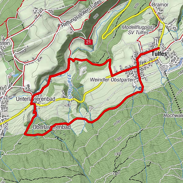
Heads along the sun-basked Speckbacher Trail toward Rinn and back through the secluded Poltental Valley. The uphill gradients at the end of the route make it more suitable for practiced runners and walkers
- Stopień trudności
-
średni
- Ocena
-
- Trasa
-
Tulfes (923 m)0,0 kmPfarrkirche Tulfes0,4 kmOberlavierenbad2,4 kmRinn (918 m)2,8 kmKüniglbichl2,9 kmUnterlavierenbad3,3 kmHuisn Kapelle5,2 kmPfarrkirche Tulfes5,6 kmTulfes (923 m)5,9 km
- Najlepszy sezon
-
stylutmarkwimajczelipsiewrzpaźlisgru
- Najwyższy punkt
- 1.005 m
- Miejsce docelowe
-
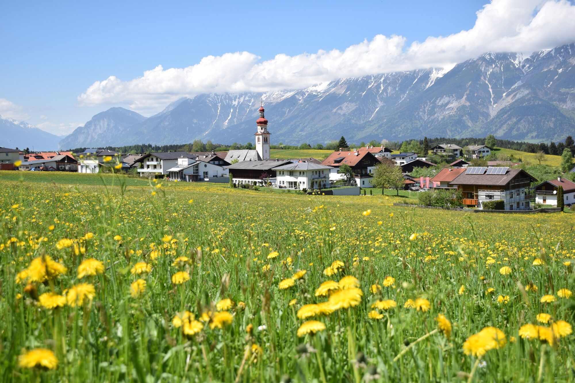
Tulfes Tourismusverband
- Profil wysokości
-

- Autor
-
Wycieczka Lavierenbad Circuit jest używany przez outdooractive.com pod warunkiem.
GPS Downloads


Informacje ogólne
Obiecujący
Więcej wycieczek w regionach