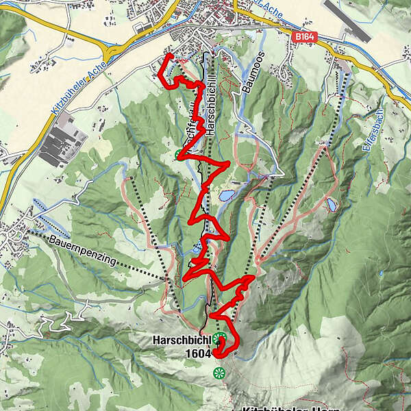
St. Johann in Tirol: Mountainbikestrecke Harschbichl

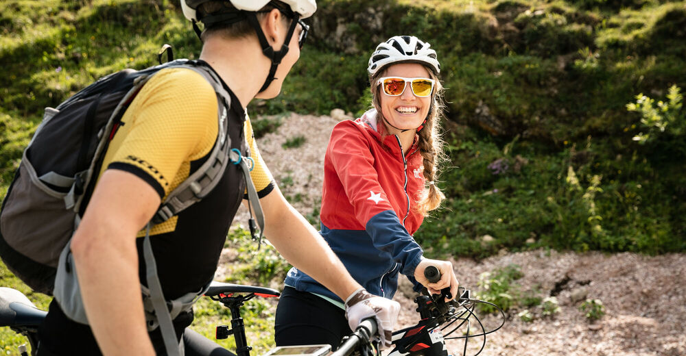
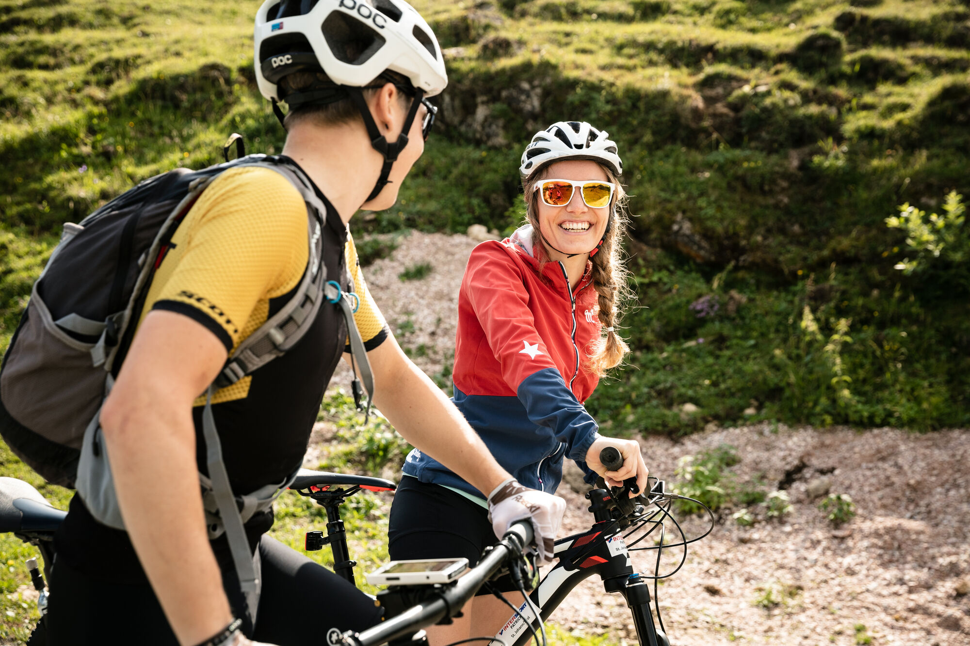
Mountainbike
© MirjaGeh.com - www.MirjaGeh.com

© MirjaGeh.com - www.MirjaGeh.com
Dane wycieczki
9,2km
663
- 1.584m
917hm
02:00h
- Krótki opis
-
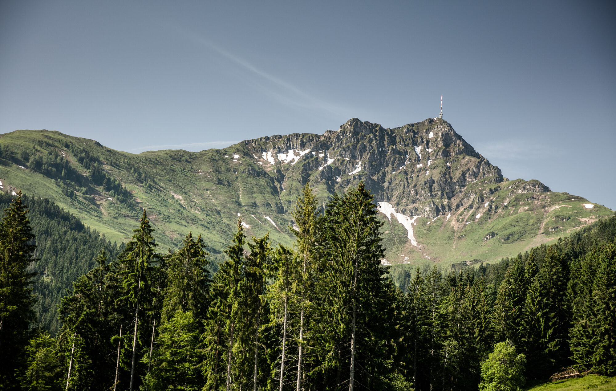
Anspruchsvolle Tour belohnt mit Rundumblick ins Tal
- Ocena
-
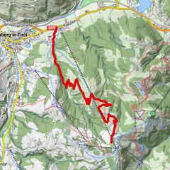
- Punkt wyjścia
-
Apfeldorf St. Johann in Tirol
- Trasa
-
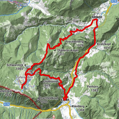
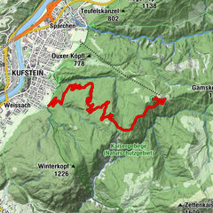
Apfeldorf0,3 kmUnterschwaigkopf1,8 kmBerglehen2,0 kmHochfeld2,6 kmKoasaburg5,1 kmAlmen am Kitzbüheler Horn5,3 kmHarschbichl (1.604 m)9,1 km
- Najlepszy sezon
-
stylutmarkwimajczelipsiewrzpaźlisgru
- Najwyższy punkt
- 1.584 m
- Odpoczynek/Odosobnienie
-
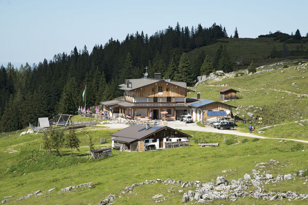
Hochfeldalm, Hirschberg, Angerer Alm, Harschbichlalm
- Mapy
-
In allen Infobüros: St. Johann in Tirol - Oberndorf - Kirchdorf
- Telefon informacyjny
-
Tourismusverband Kitzbüheler Alpen St. Johann in Tirol +43 (0)5352 63335-0
- Link
- https://www.kitzbueheler-alpen.com/de/st-johann
- Źródło
- Tourismusverband Kitzbüheler Alpen St. Johann in Tirol
GPS Downloads


Pasy ruchu
Asfalt
Żwir
Las
Szlaki górskie
Wyprawy singletrails
Trial
Komunikacja
Więcej wycieczek w regionach