© Engadin Samnaun Val Müstair - Tourismus Engadin Scuol Samnaun Val Müstair AG
© Engadin Samnaun Val Müstair - Tourismus Engadin Scuol Samnaun Val Müstair AG


- Krótki opis
-
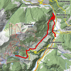
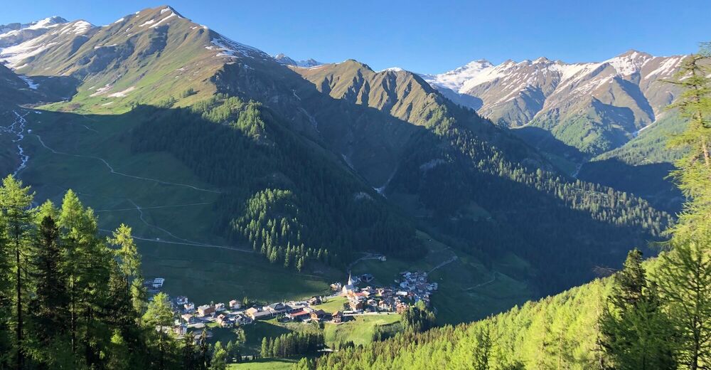
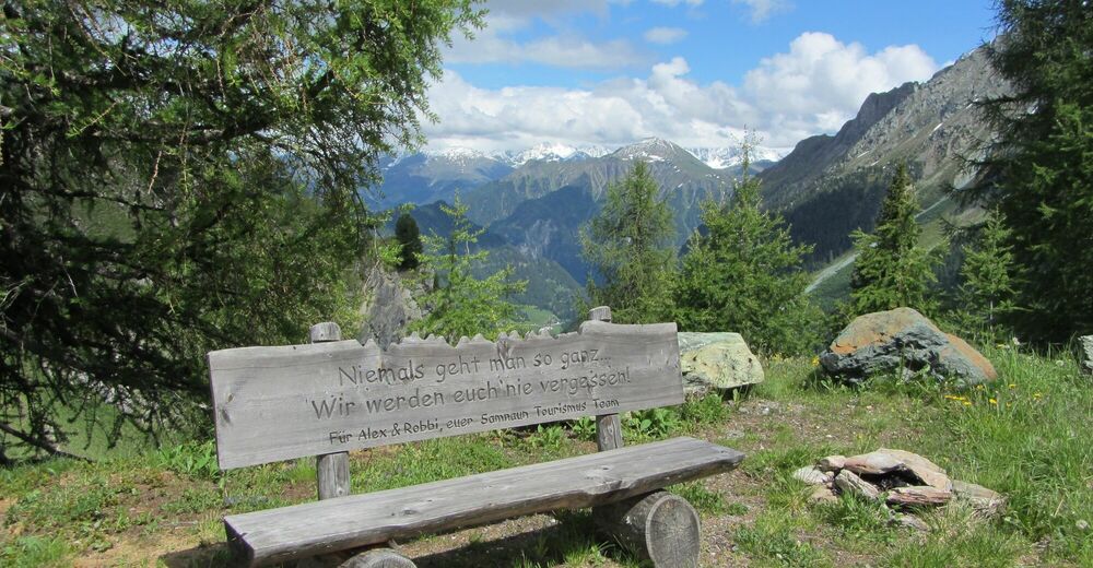
Steadily ascending tour through the Compatsch forest to Fuorcla Curschiglias. Beautiful vistas of the Samnaun valley and Val Sampuoir at the destination. Afterwards return along the same path.
- Stopień trudności
-
łatwe
- Ocena
-
- Trasa
-
Compatsch (1.715 m)0,0 kmLaret (1.731 m)0,1 kmPlan (1.725 m)2,0 kmPlan (1.725 m)7,7 kmCompatsch (1.715 m)9,8 km
- Najlepszy sezon
-
stylutmarkwimajczelipsiewrzpaźlisgru
- Najwyższy punkt
- 2.128 m
- Miejsce docelowe
-
PostBus stop Samnaun-Laret, Abzweigung
- Profil wysokości
-
 © outdooractive.com


- Autor
-
Wycieczka Samnaun-Laret – Fuorcla Curschiglias jest używany przez outdooractive.com pod warunkiem.
GPS Downloads


Informacje ogólne
Flora
Obiecujący