© Alpbachtal Tourismus - AS Tourismus/Matthias Sedlak

© Alpbachtal Tourismus - Manuel Hufnagel

© Alpbachtal Tourismus - Gabriele Grießenböck
© Alpbachtal Tourismus - Manuel Hufnagel

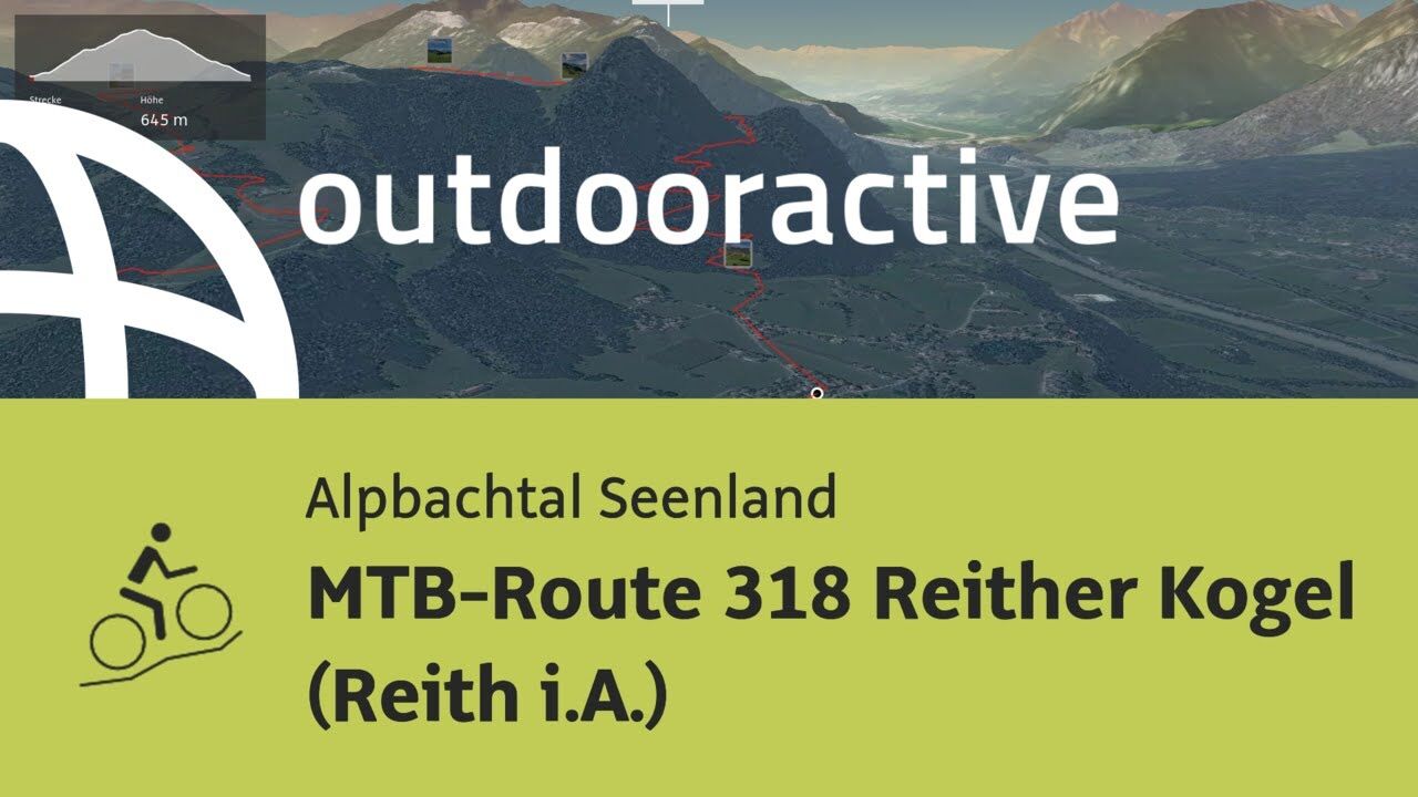
© Outdooractive – 3D Videos

© Alpbachtal Tourismus - Manuel Hufnagel

© Alpbachtal Tourismus - Manuel Hufnagel

- Krótki opis
-
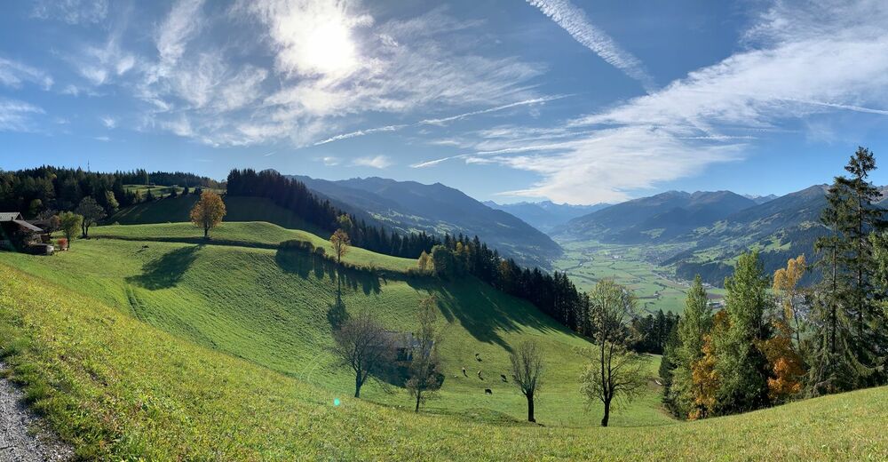
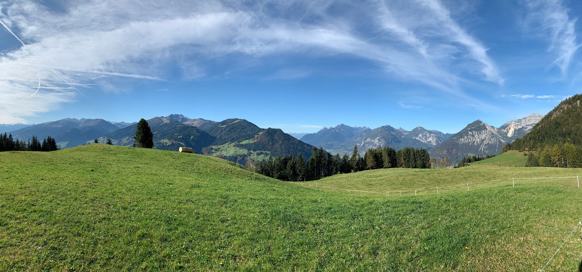
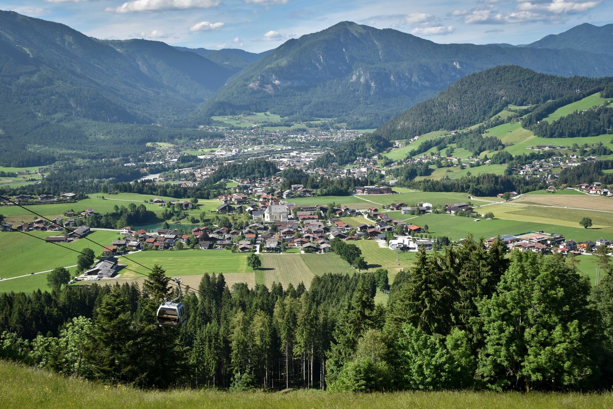
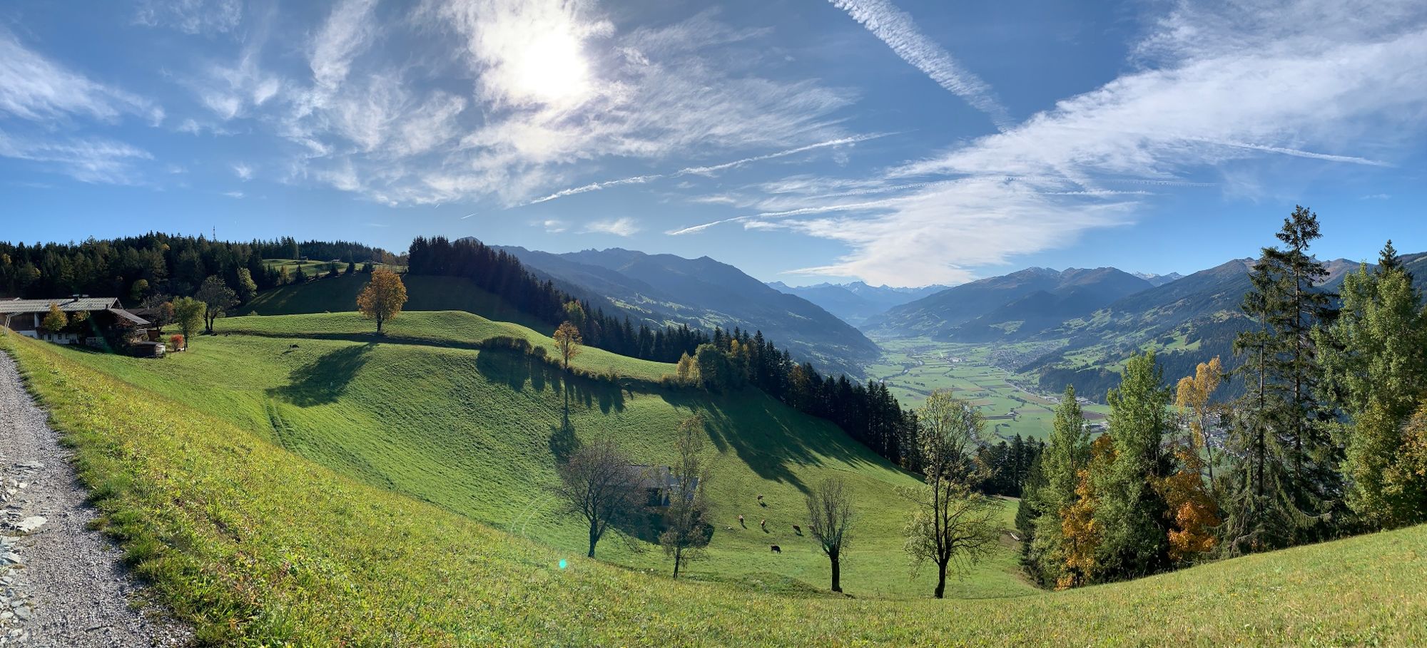
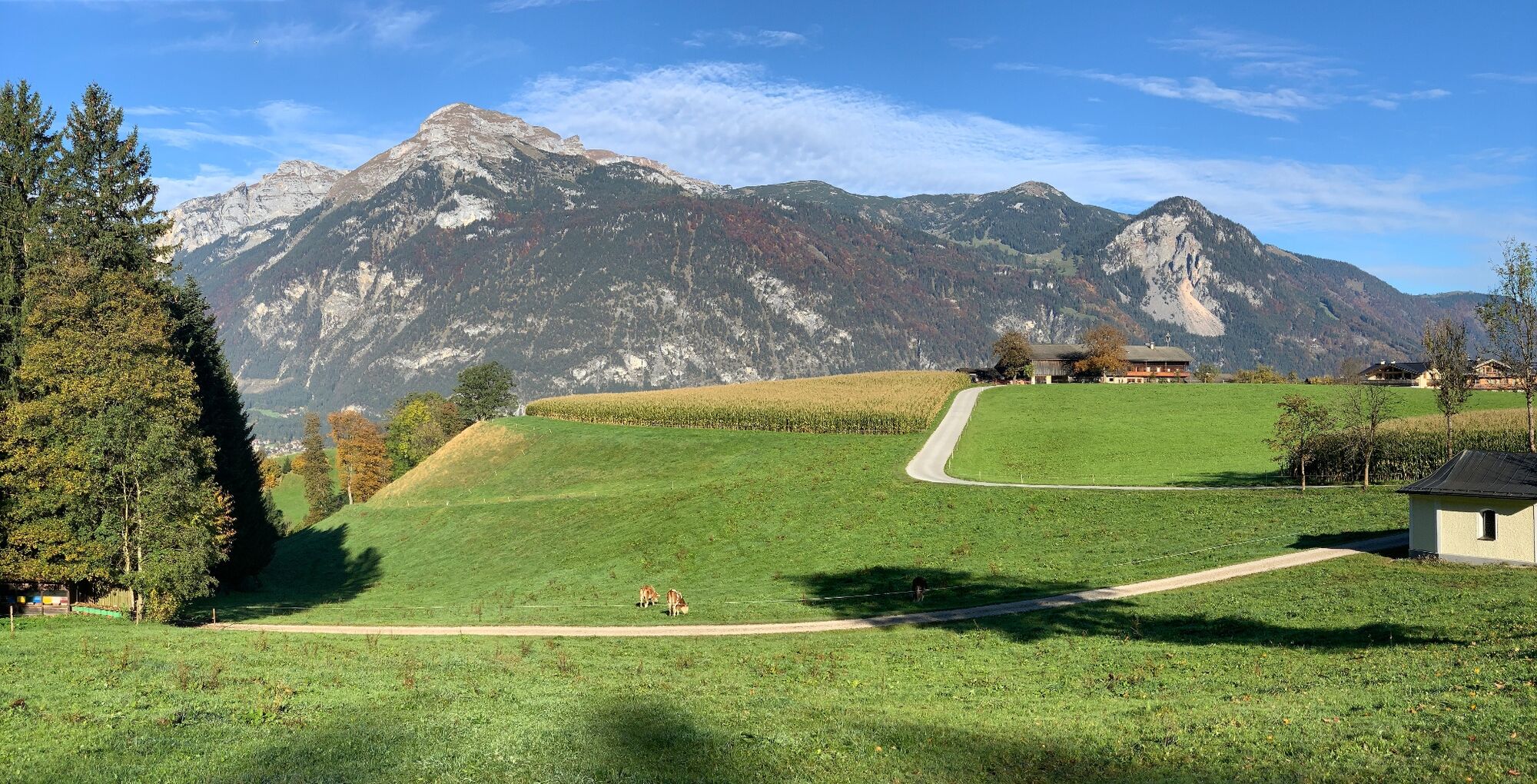
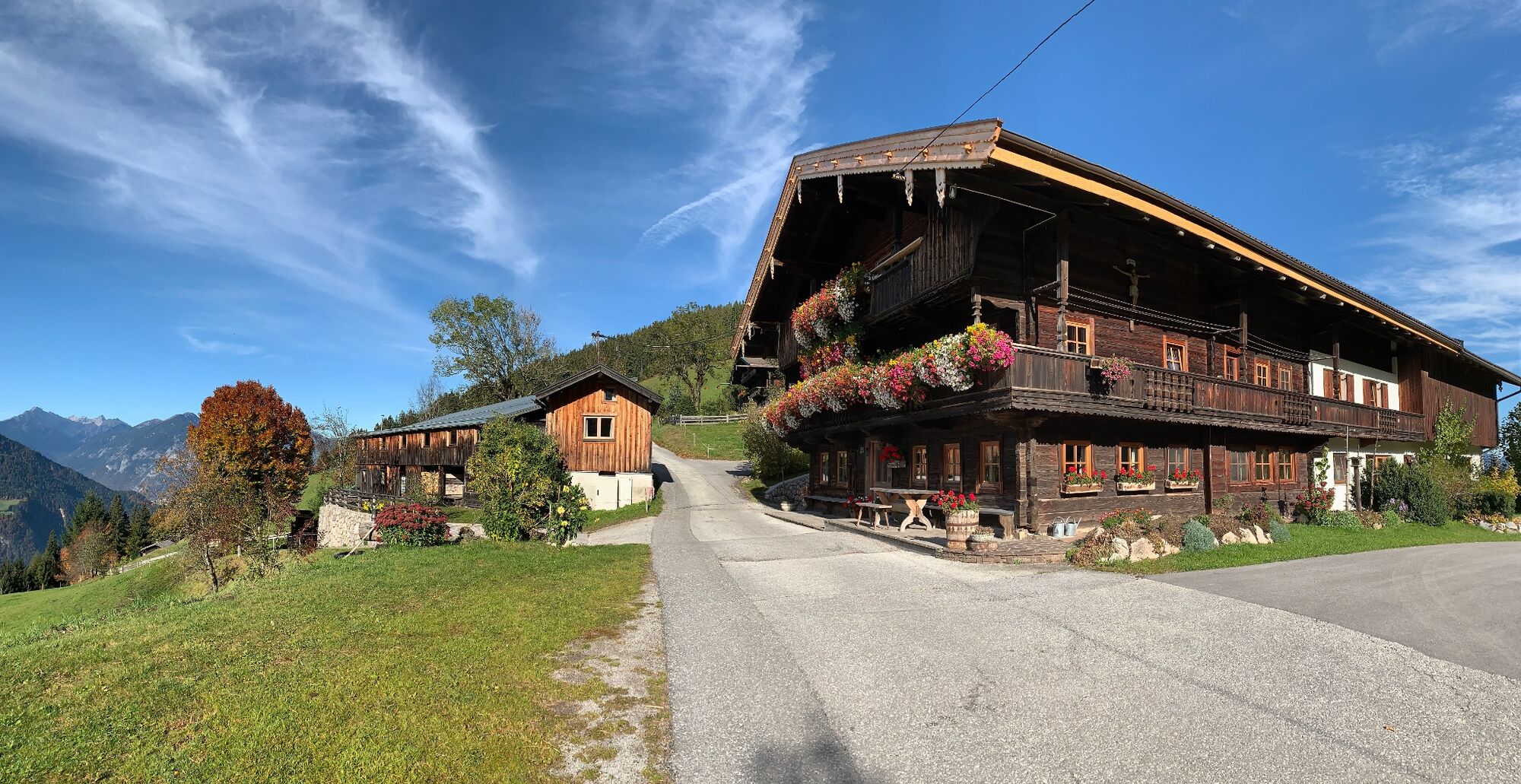
Enjoyable looped route around the Reither Kogel
- Stopień trudności
-
średni
- Ocena
-
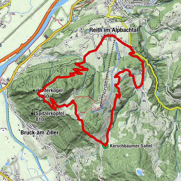
- Trasa
-
Reith im Alpbachtal (638 m)0,1 kmHub Kapelle1,2 kmAussichtspunkt Hinterkogel6,0 kmRosenkranz Kapelle9,3 kmGschwendt Almstüberl10,3 kmKapelle Maria vom Guten Rat12,1 kmHygna (817 m)12,1 kmReither Anger (659 m)13,9 kmReith im Alpbachtal (638 m)14,0 km
- Najlepszy sezon
-
stylutmarkwimajczelipsiewrzpaźlisgru
- Najwyższy punkt
- 1.199 m
- Miejsce docelowe
-
Reitherkogelbahn, Reith car park
- Profil wysokości
-


-

-
AutorWycieczka MTB-Route 318 Reither Kogel (Reith i. Alpbachtal) jest używany przez outdooractive.com pod warunkiem.
GPS Downloads


Informacje ogólne
Przystanek odświeżania
Obiecujący
Więcej wycieczek w regionach
-
Alpbachtal
293
-
Reith im Alpbachtal
116