© WOM Medien - Stefan Schopf

© Alpbachtal Tourismus

© Alpbachtal Tourismus - Fotocredit Tirol Werbung _ Jens Schwarz

© Alpbachtal Tourismus
© Alpbachtal Tourismus - Barbara Siegler

- Krótki opis
-
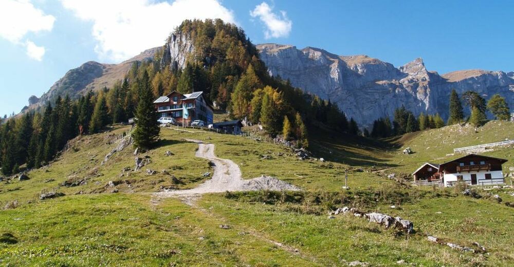
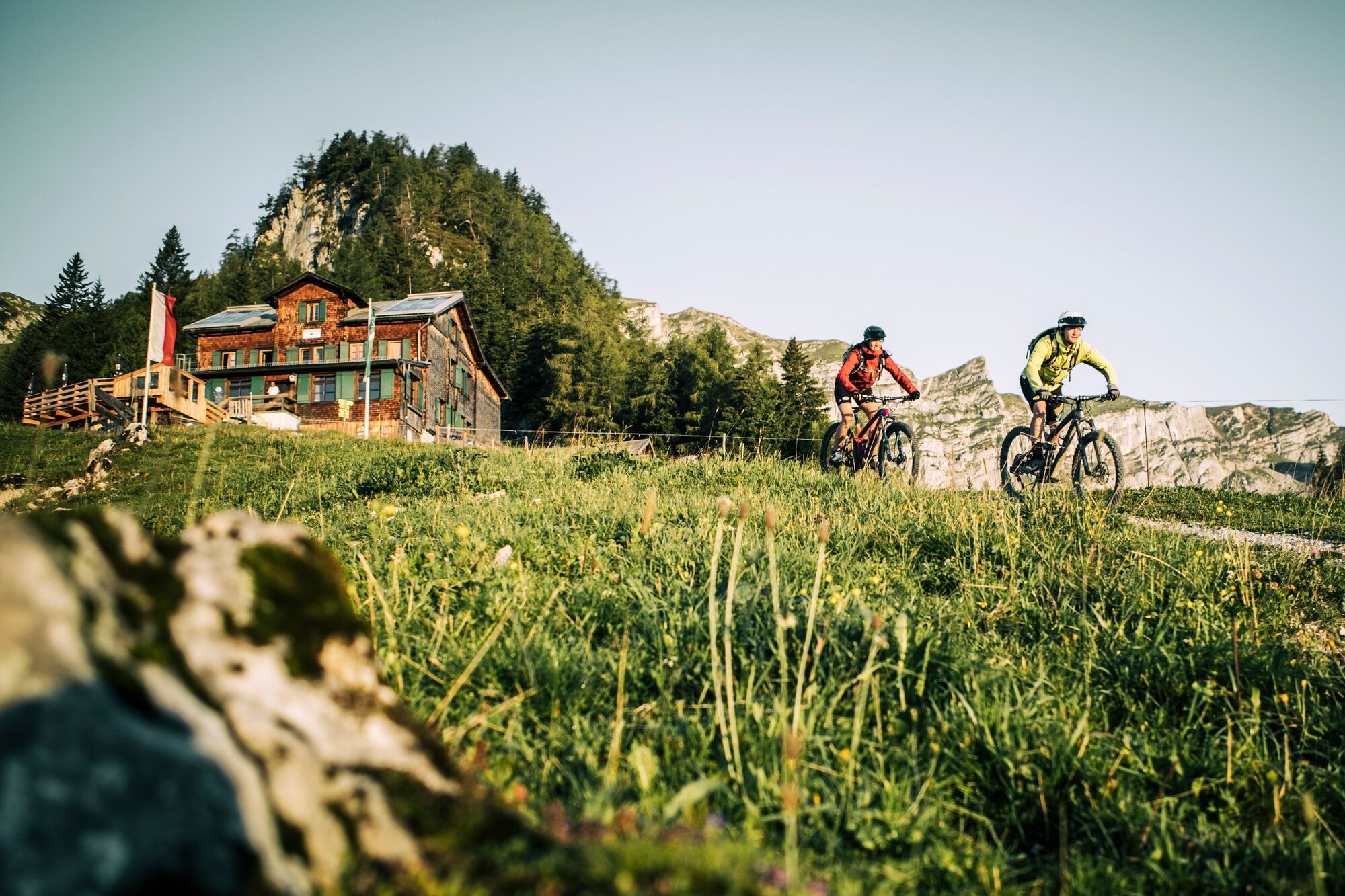
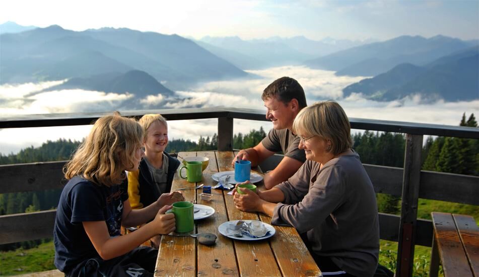
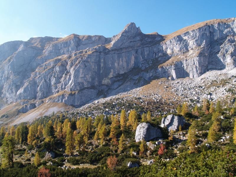
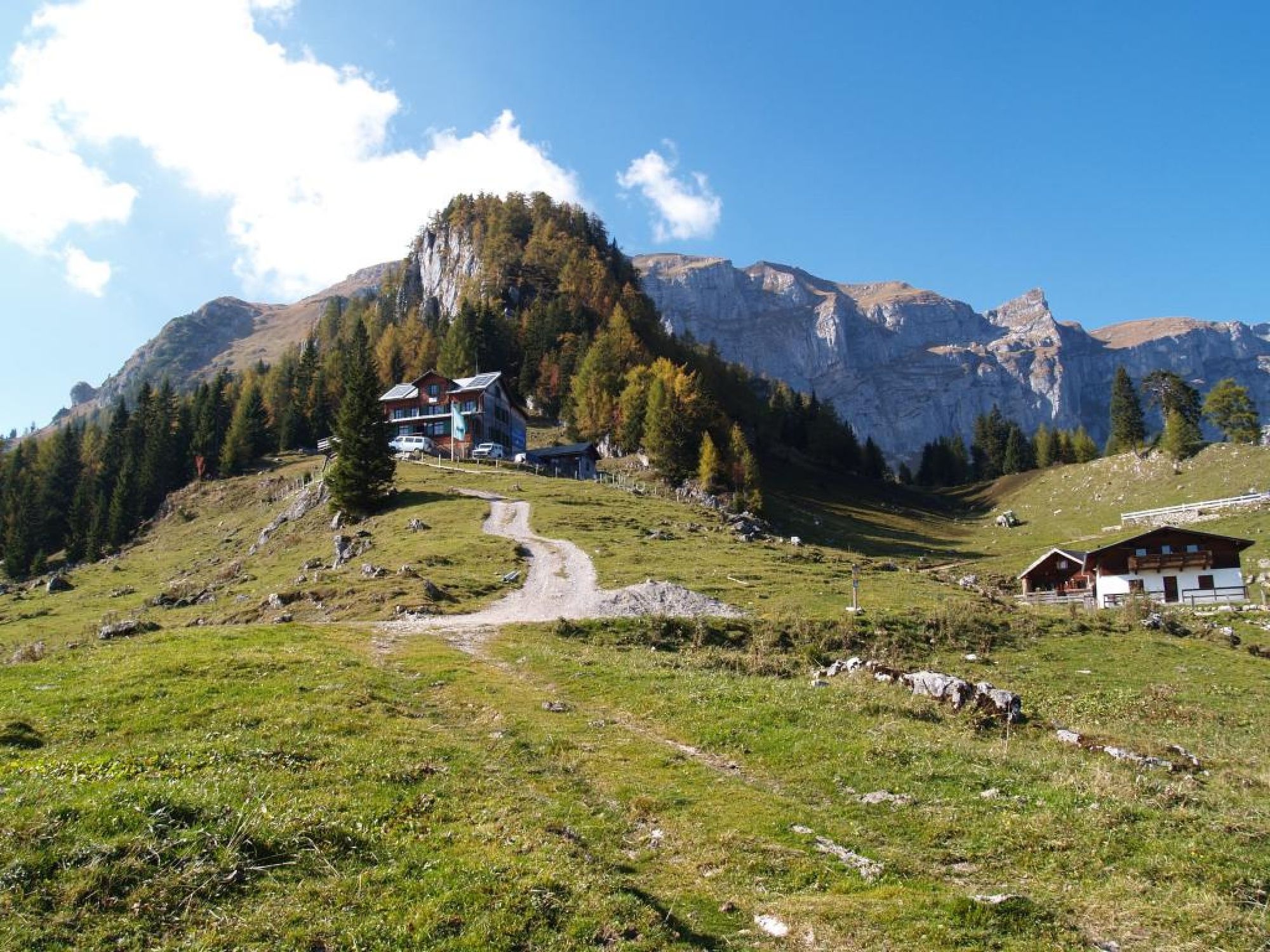
Conditionally challenging tour with a great finish and Alpine hut atmosphere
- Stopień trudności
-
ciężkie
- Ocena
-
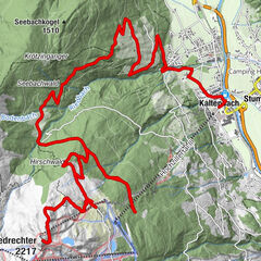
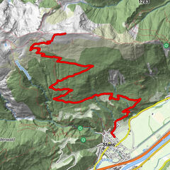
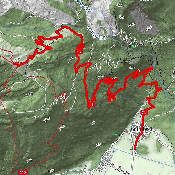
- Trasa
-
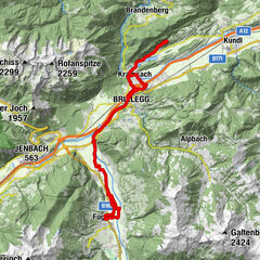
Landgasthof Astner0,2 kmGrünsbach (535 m)0,3 kmBayreuther Hütte (1.560 m)9,0 km
- Najlepszy sezon
-
stylutmarkwimajczelipsiewrzpaźlisgru
- Najwyższy punkt
- 1.563 m
- Miejsce docelowe
-
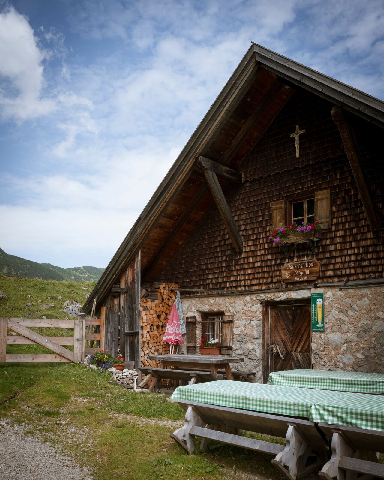
Bayreuther Hütte
- Profil wysokości
-

-

-
AutorWycieczka MTB-Route 332 Bayreuther Hütte / Bergalm jest używany przez outdooractive.com pod warunkiem.
GPS Downloads


Informacje ogólne
Przystanek odświeżania
Obiecujący
Więcej wycieczek w regionach
-
Alpbachtal
293
-
Münster
103