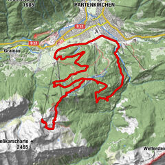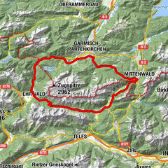
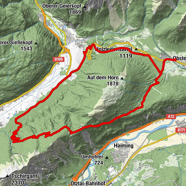
Dane wycieczki
28,62km
811
- 1.801m
1.134hm
03:00h
- Krótki opis
-
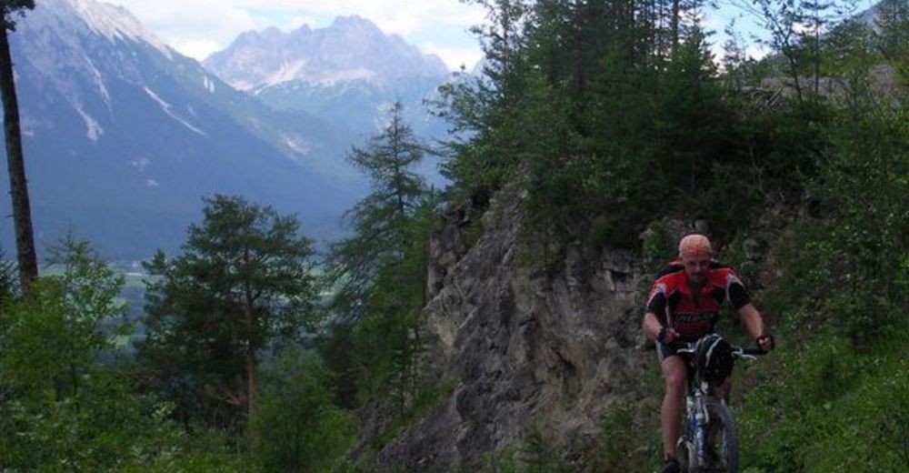
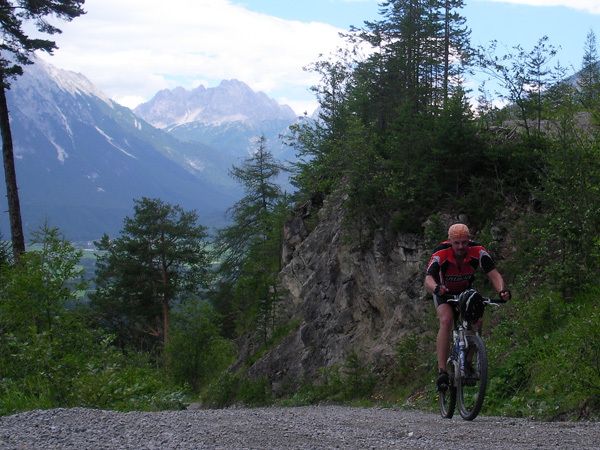
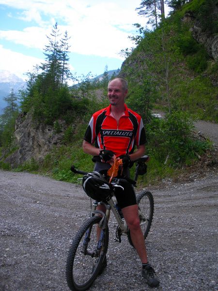
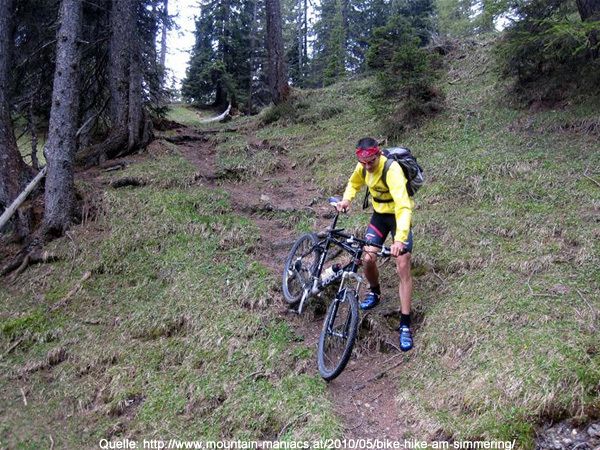
extremer Anstieg, tolle Rundtour
- Stopień trudności
-
ciężkie
- Ocena
-
- Punkt wyjścia
-
Alpenhof - Obsteig
- Trasa
-
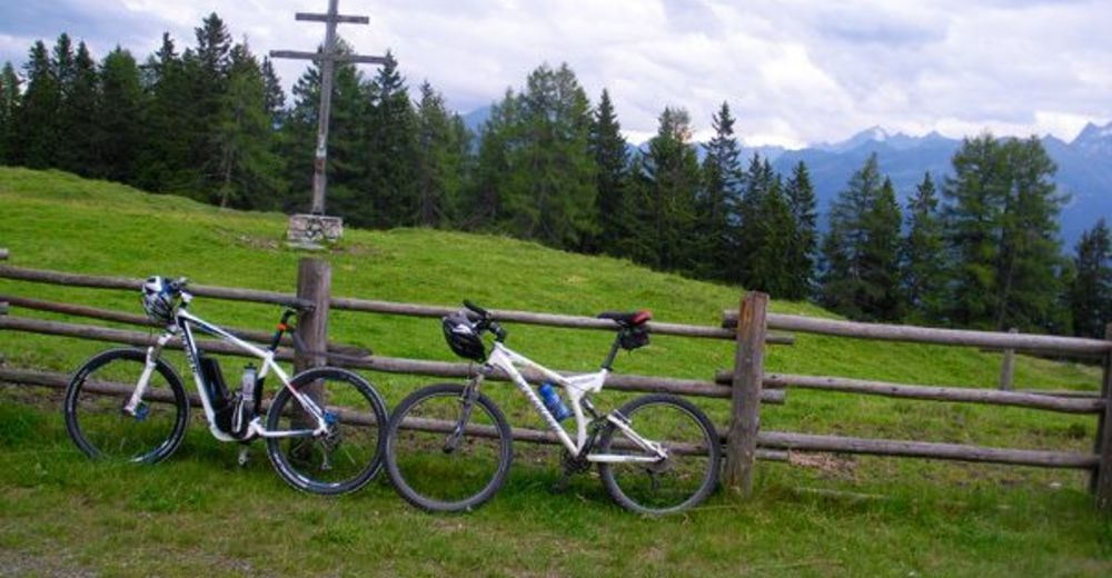
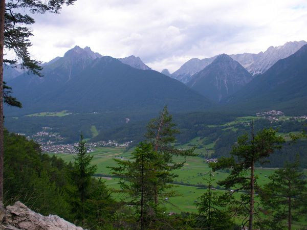
Obsteig (991 m)0,1 kmHotel Bergland0,5 kmHaiminger Alm21,4 kmKlammle Wasserfall27,3 km
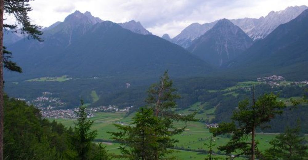
- Najwyższy punkt
- 1.801 m
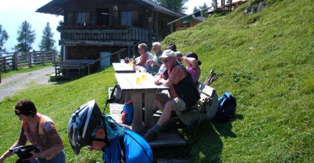
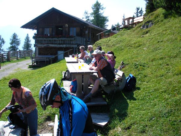
- Odpoczynek/Odosobnienie
-
Haiminger Simmering

GPS Downloads


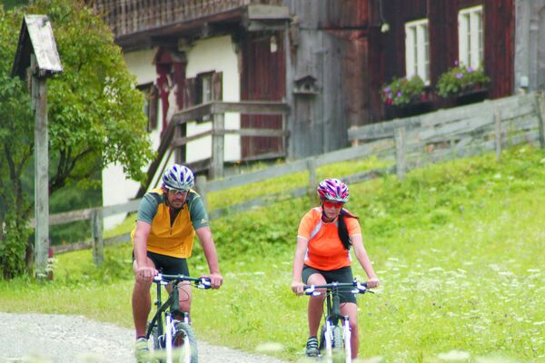
Pasy ruchu
Asfalt
Żwir
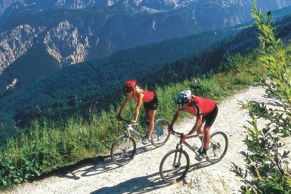
Szlaki górskie
Wyprawy singletrails
Trial
Komunikacja
Więcej wycieczek w regionach
-
Outdoorregion Imst
273
-
Nassereith
103