© Tourismusverband Region Hall-Wattens - Hall Wattens

© Tourismusverband Region Hall-Wattens - Hall Wattens

© Tourismusverband Region Hall-Wattens - Hall Wattens

© Tourismusverband Region Hall-Wattens - Hall Wattens

© Tourismusverband Region Hall-Wattens - Anne W.

© Tourismusverband Region Hall-Wattens - Anne W.

© Tourismusverband Region Hall-Wattens - Anne W.

© Tourismusverband Region Hall-Wattens - Anne W.

© Tourismusverband Region Hall-Wattens - Anne W.

© Tourismusverband Region Hall-Wattens - Anne W.
- Krótki opis
-
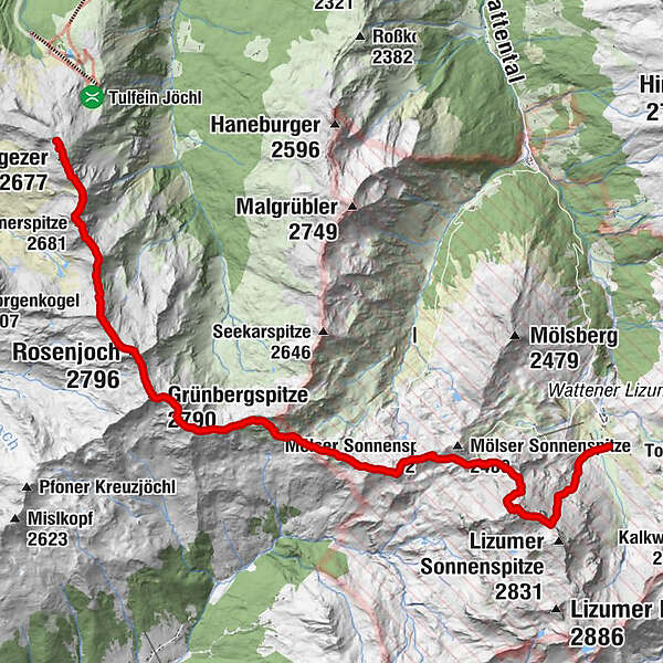
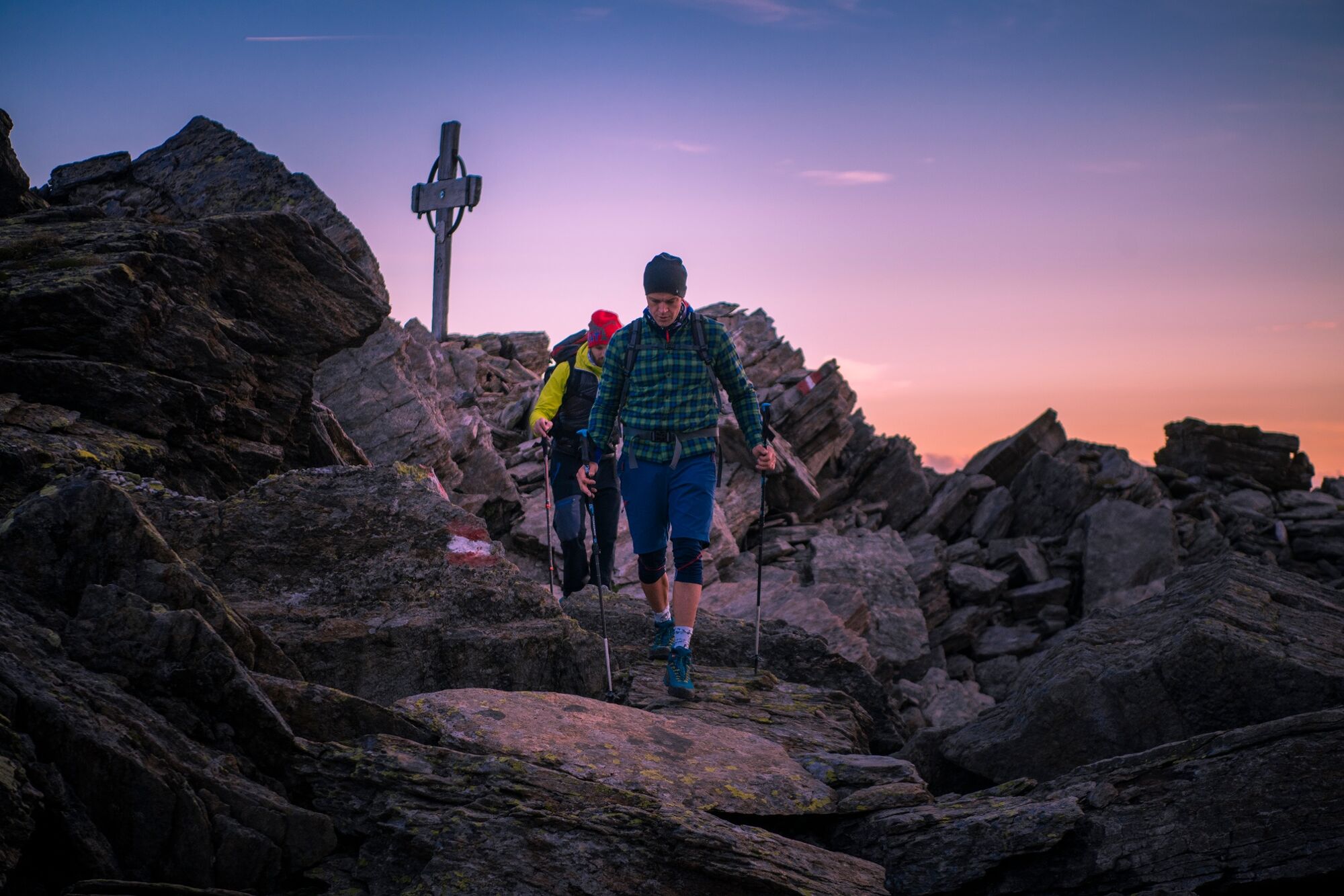
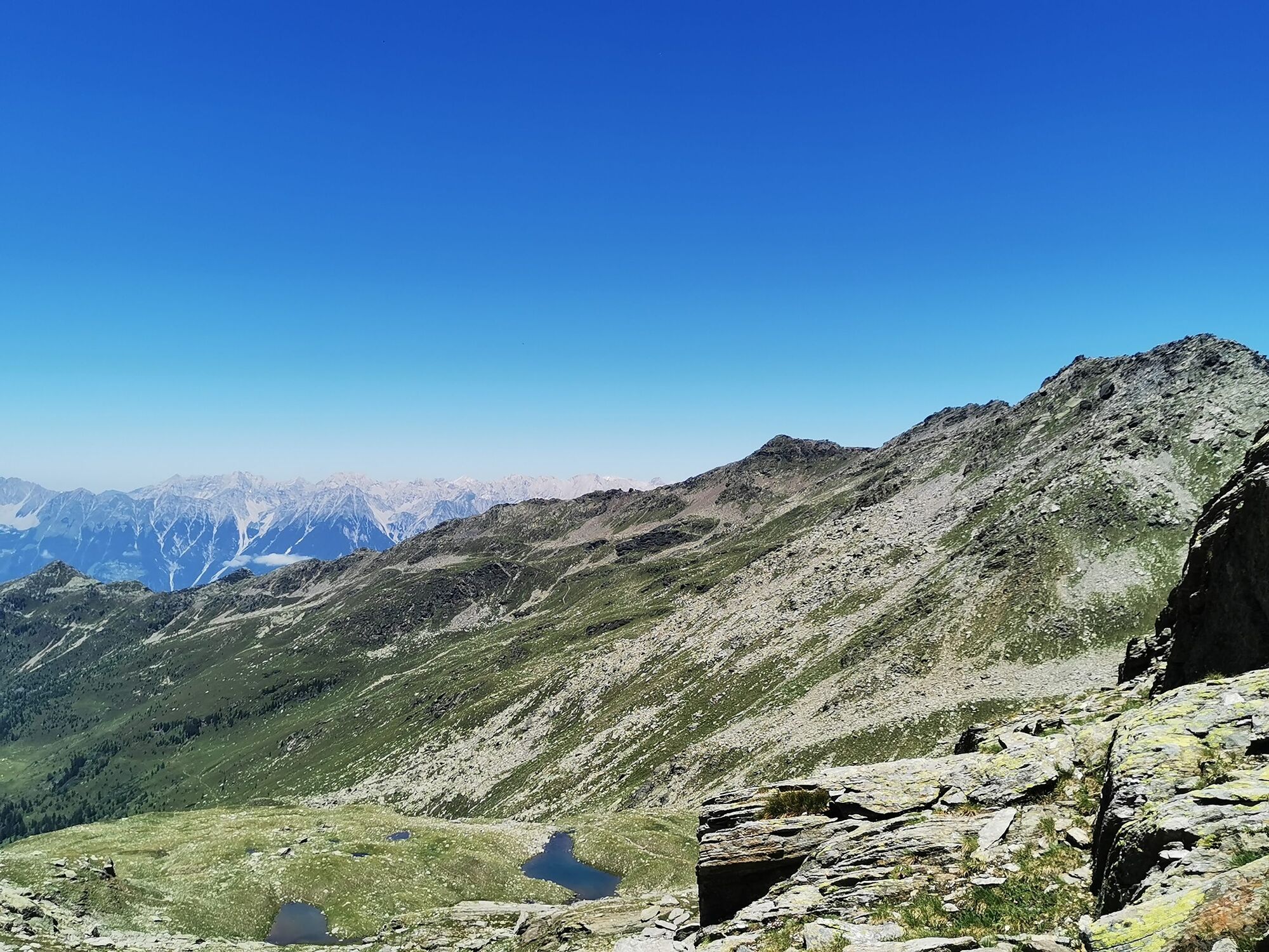
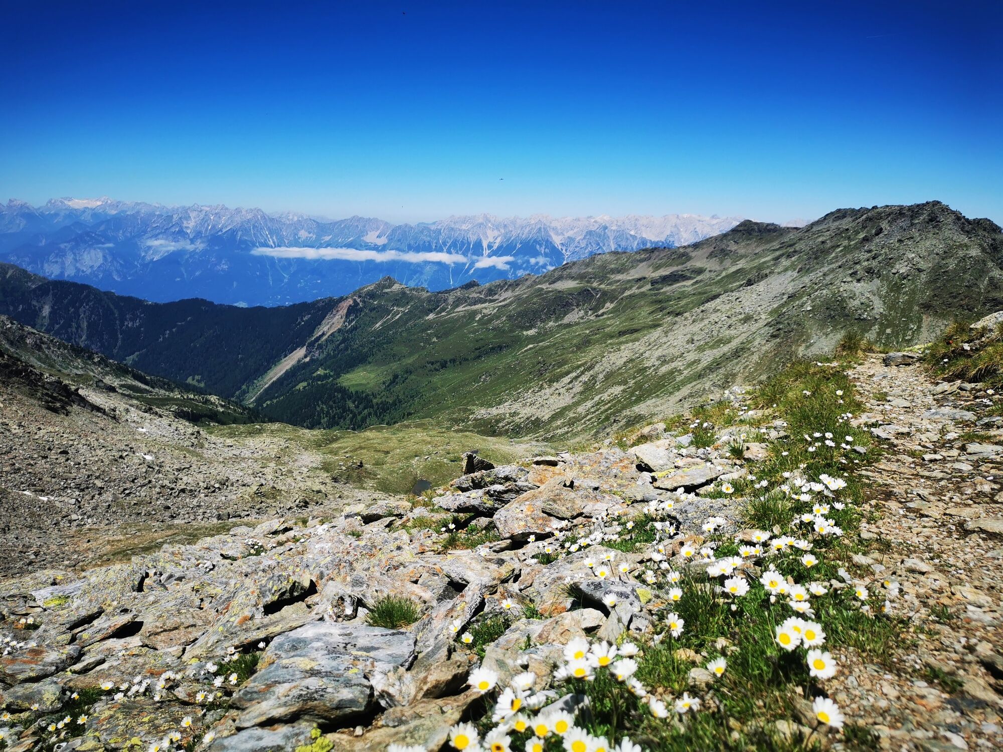
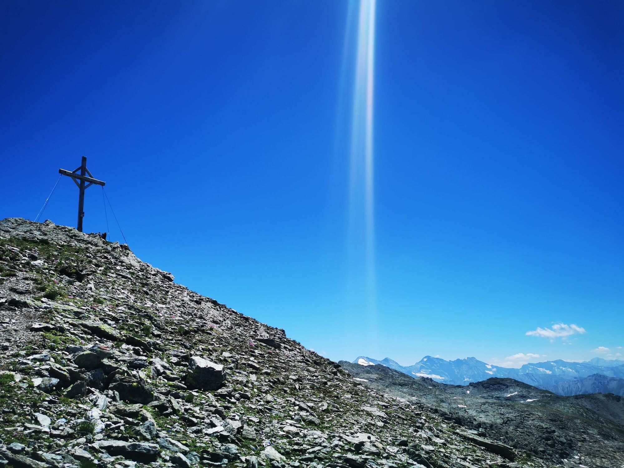
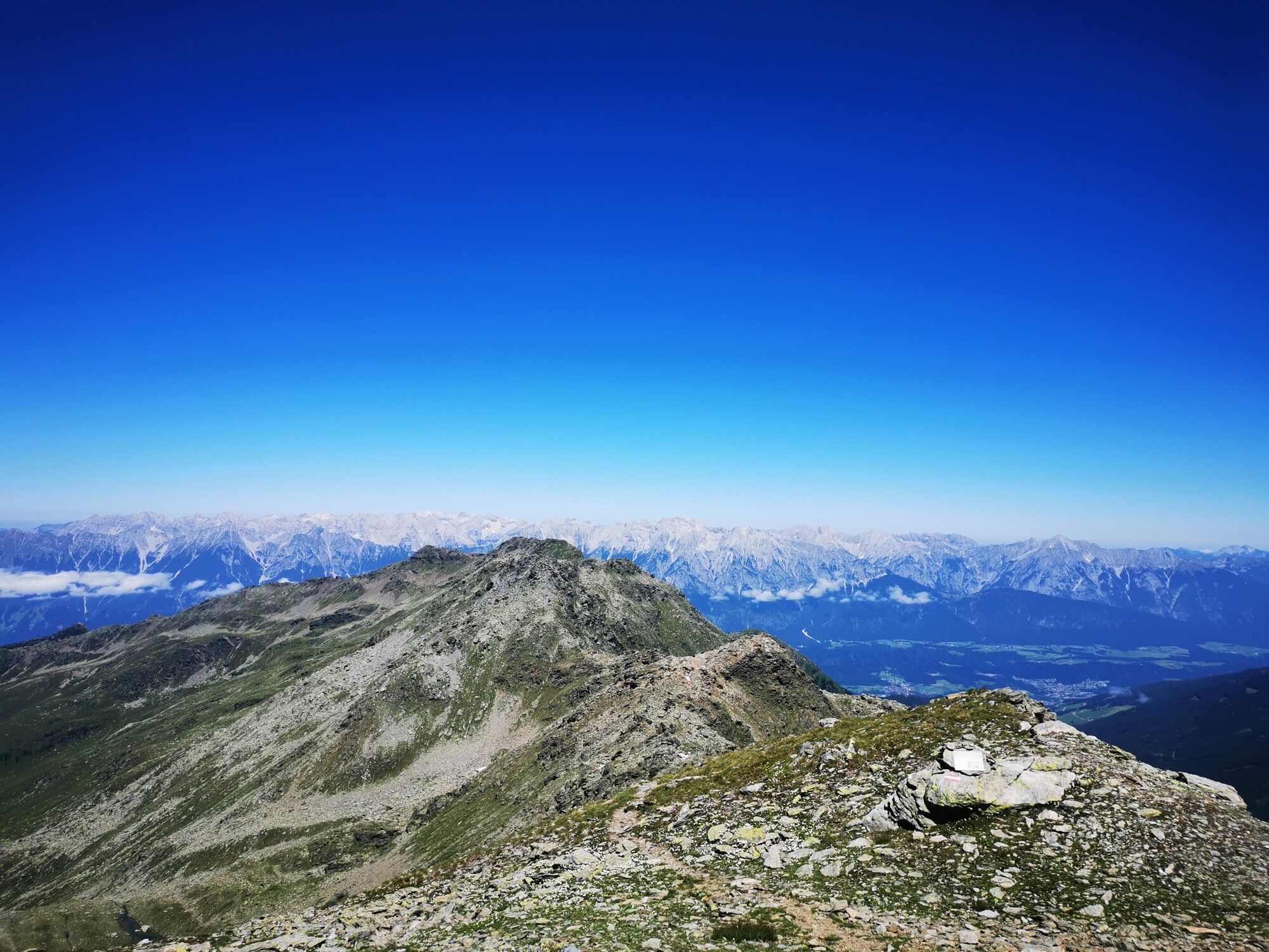
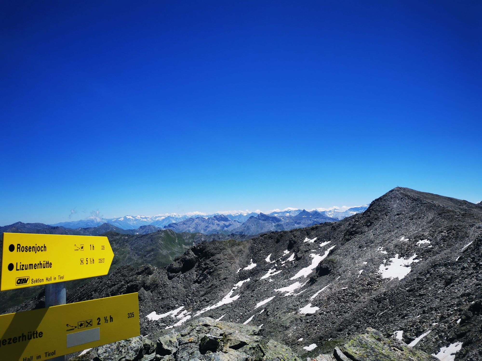
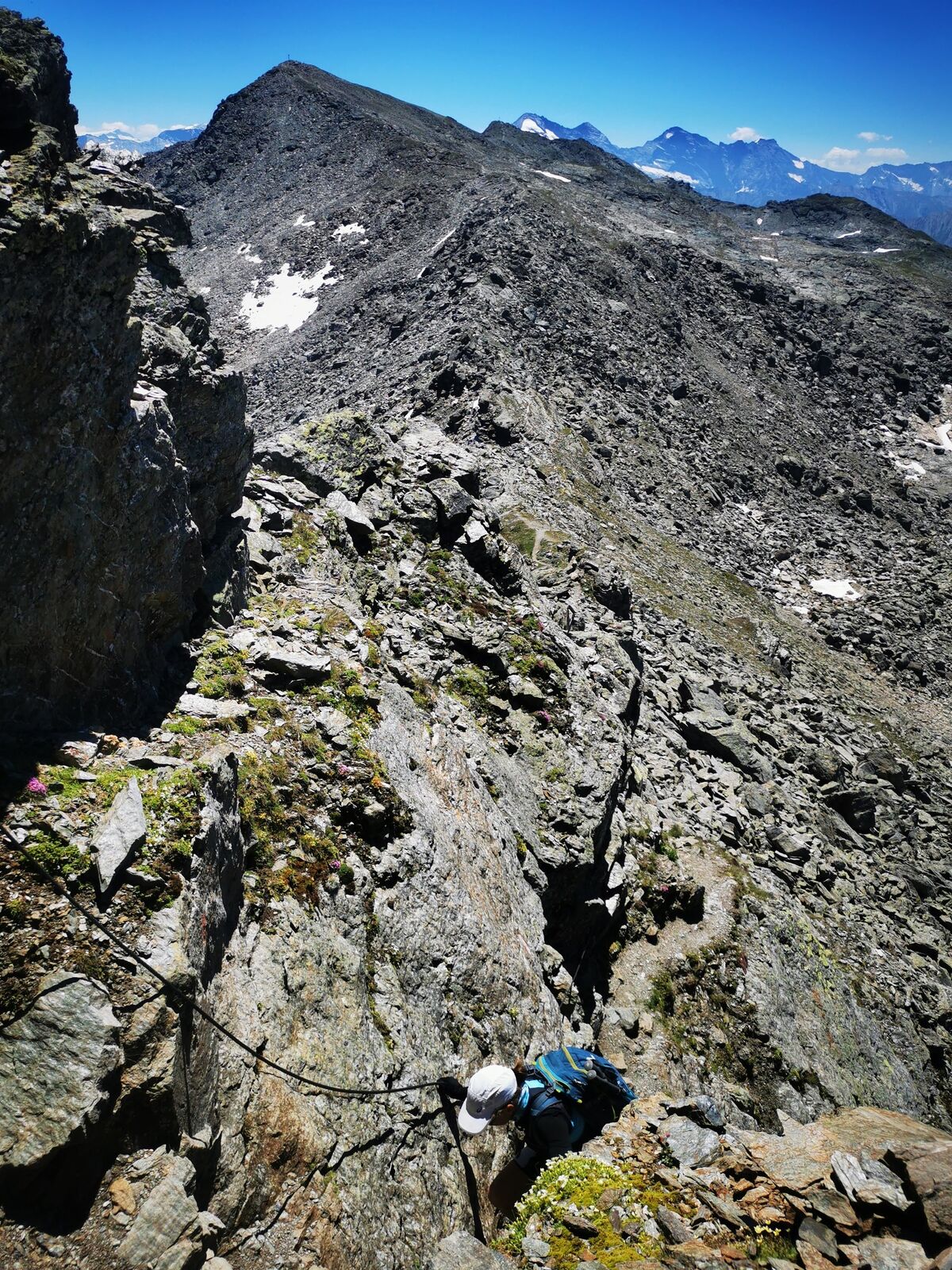
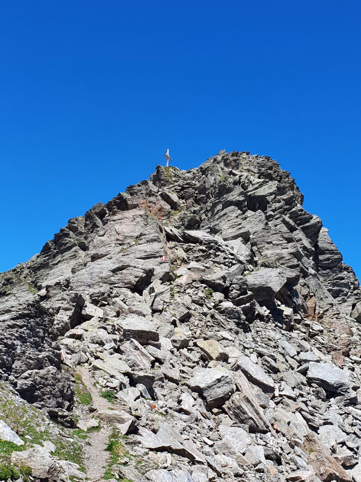
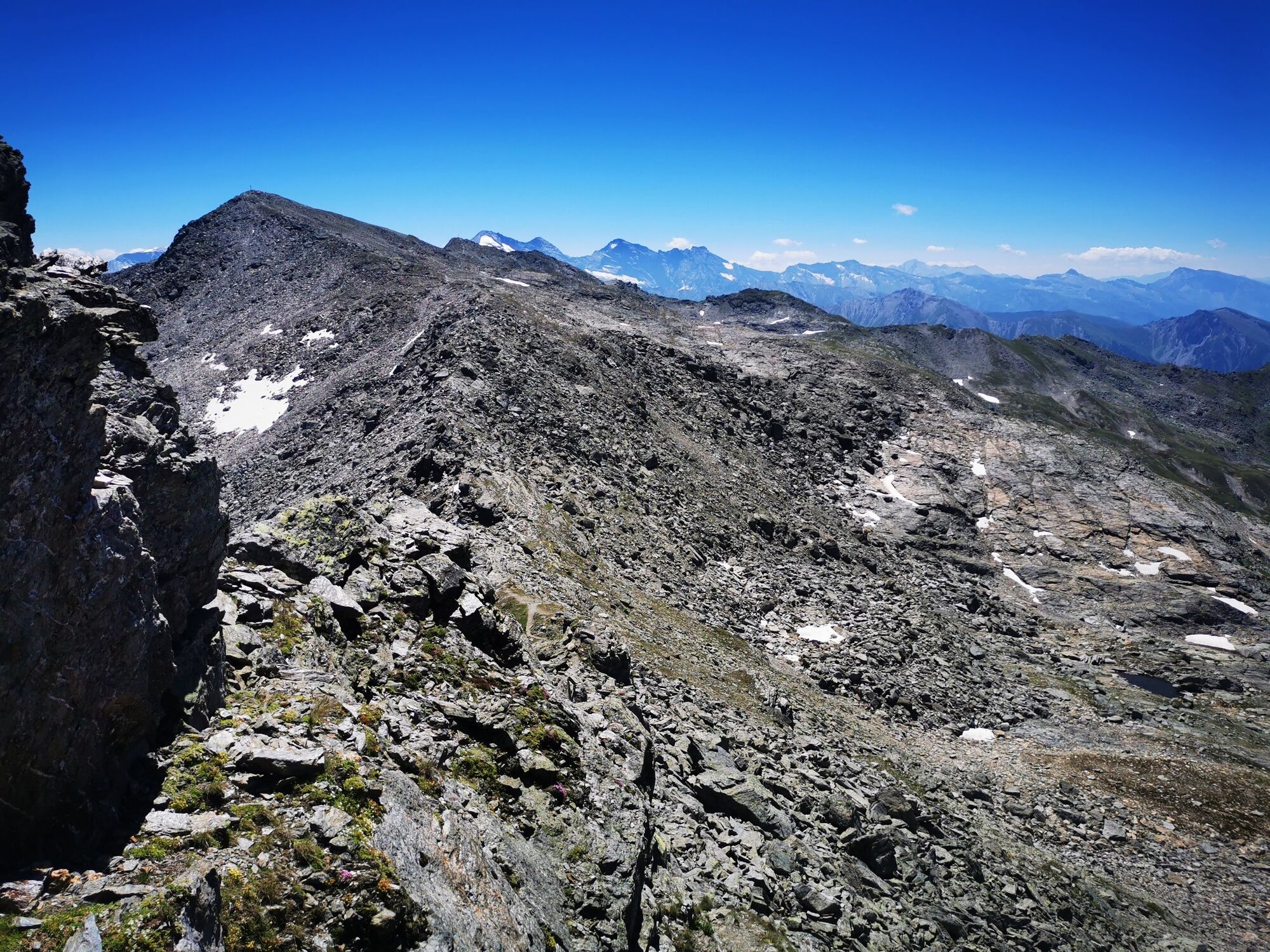
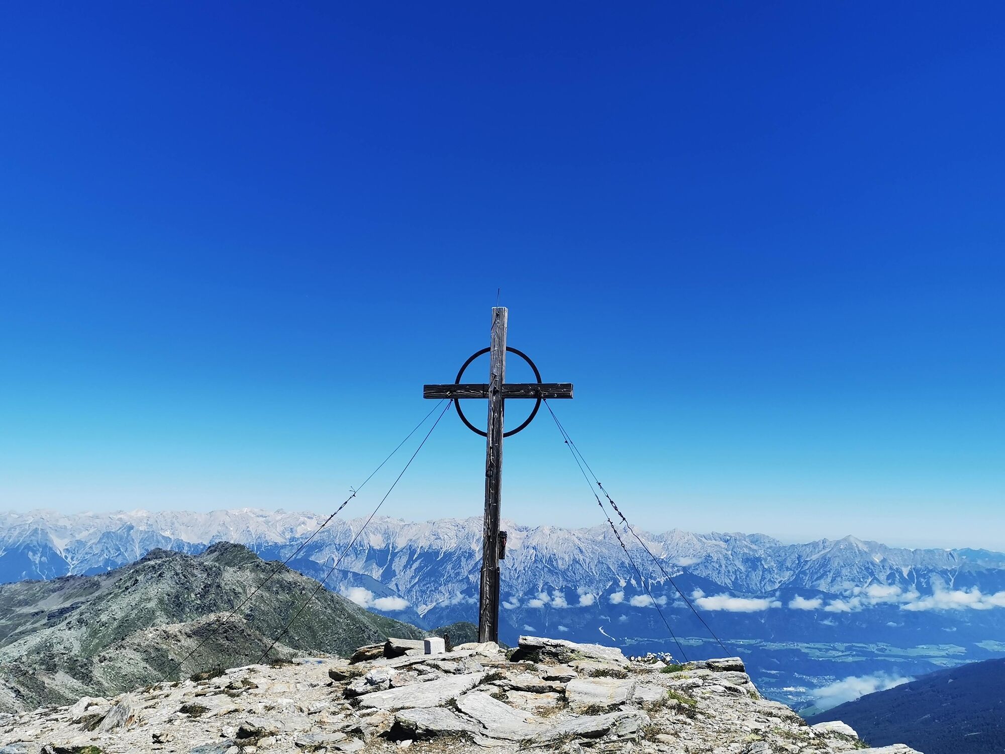
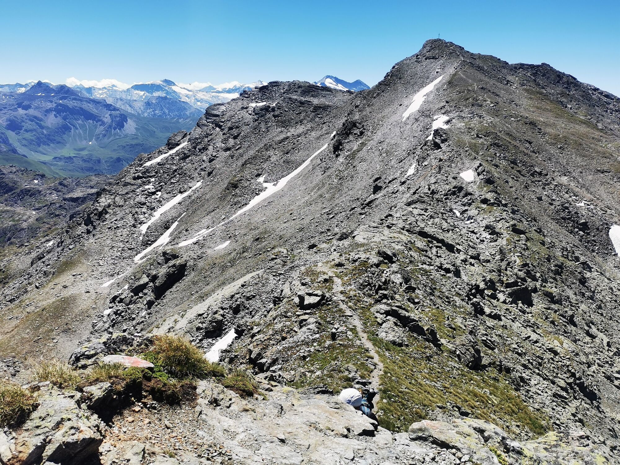
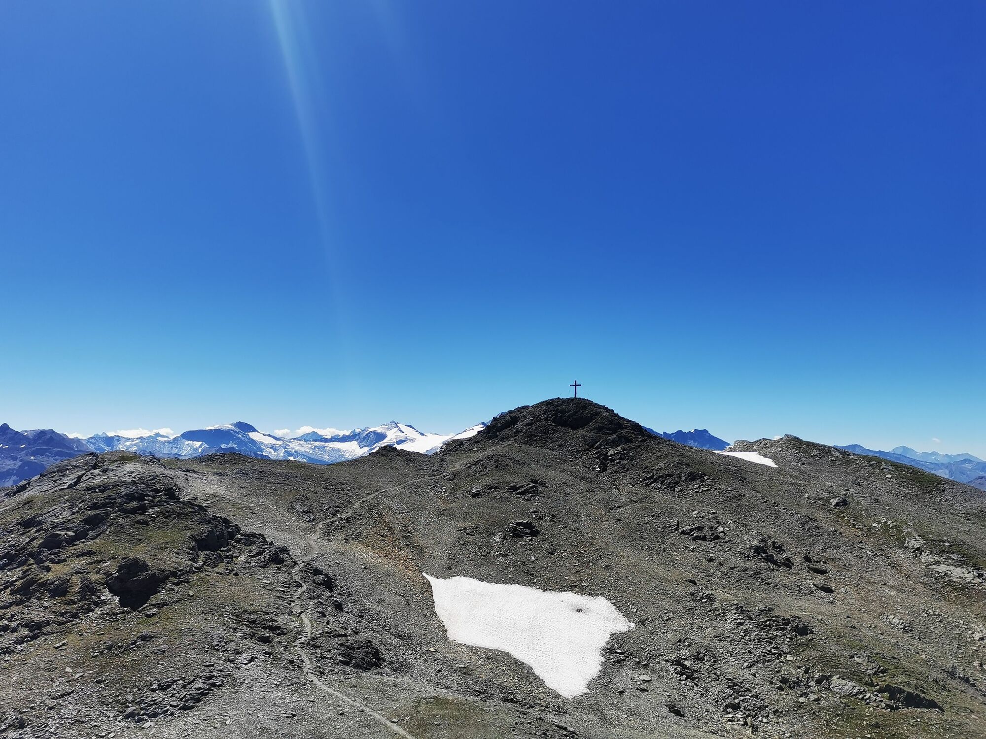
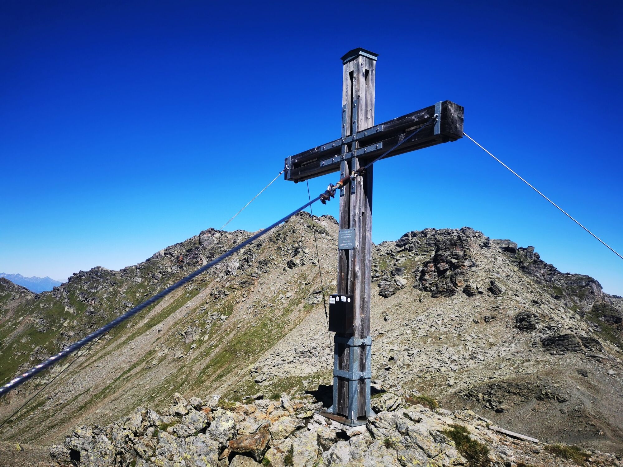
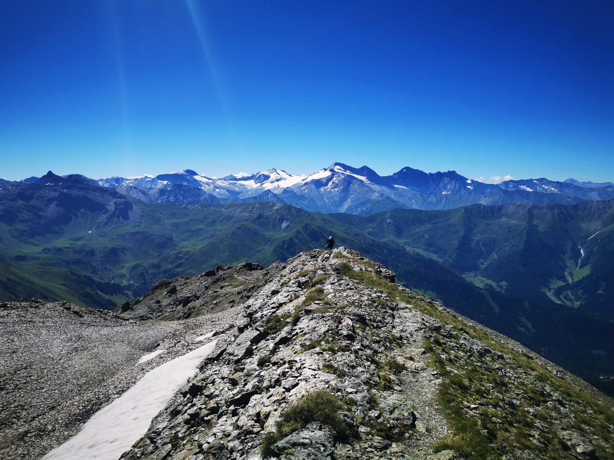
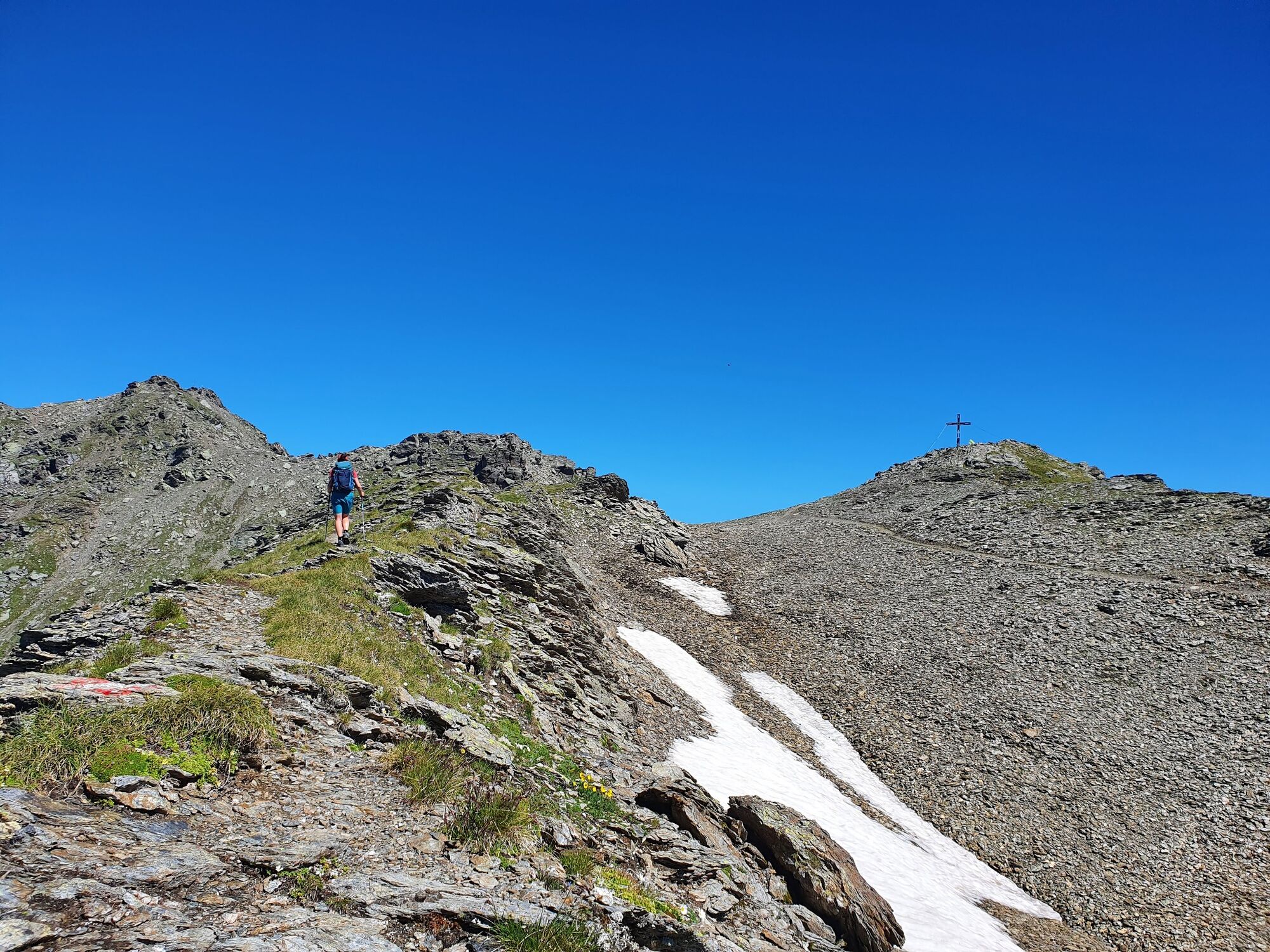
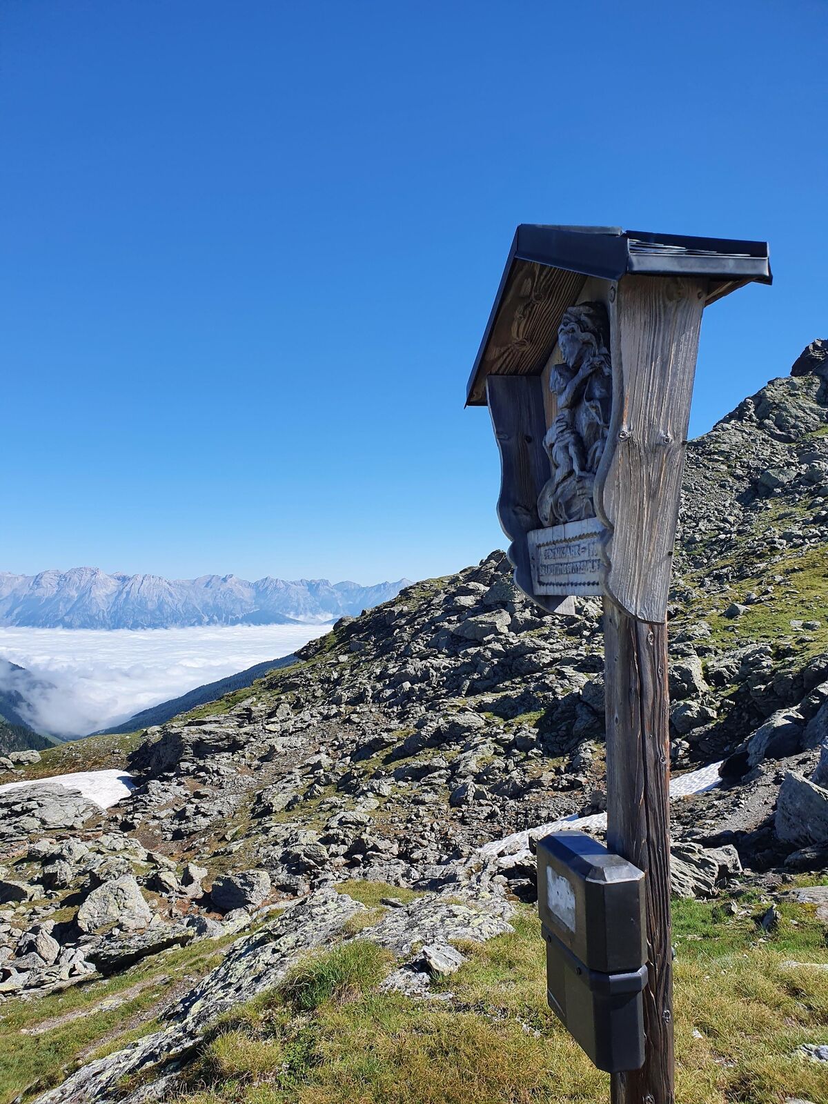
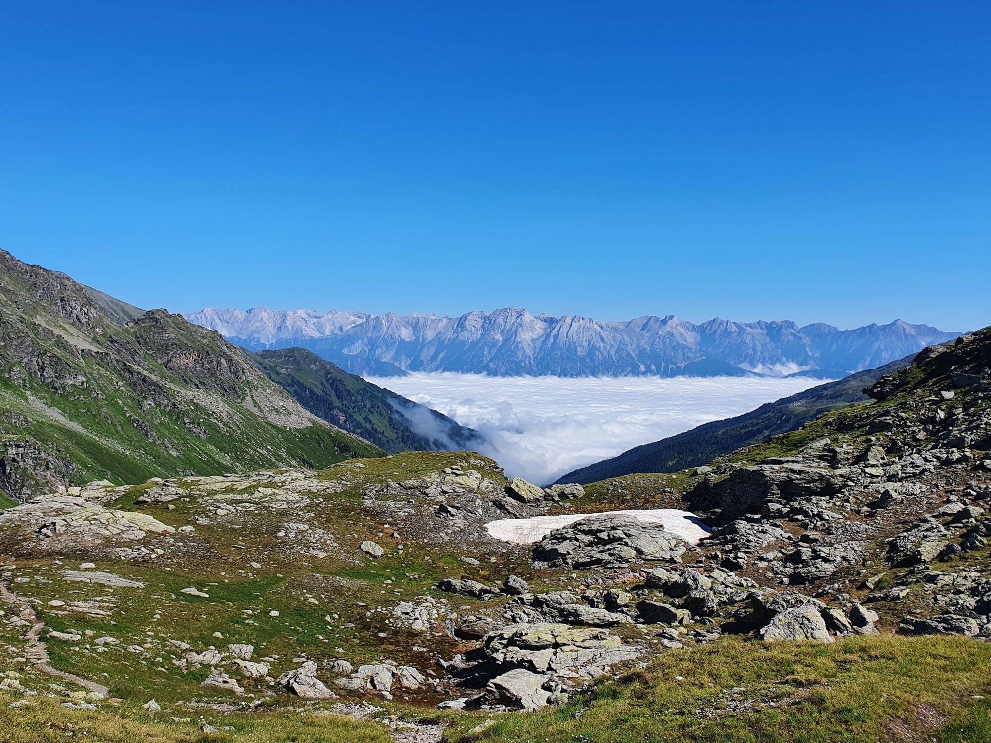
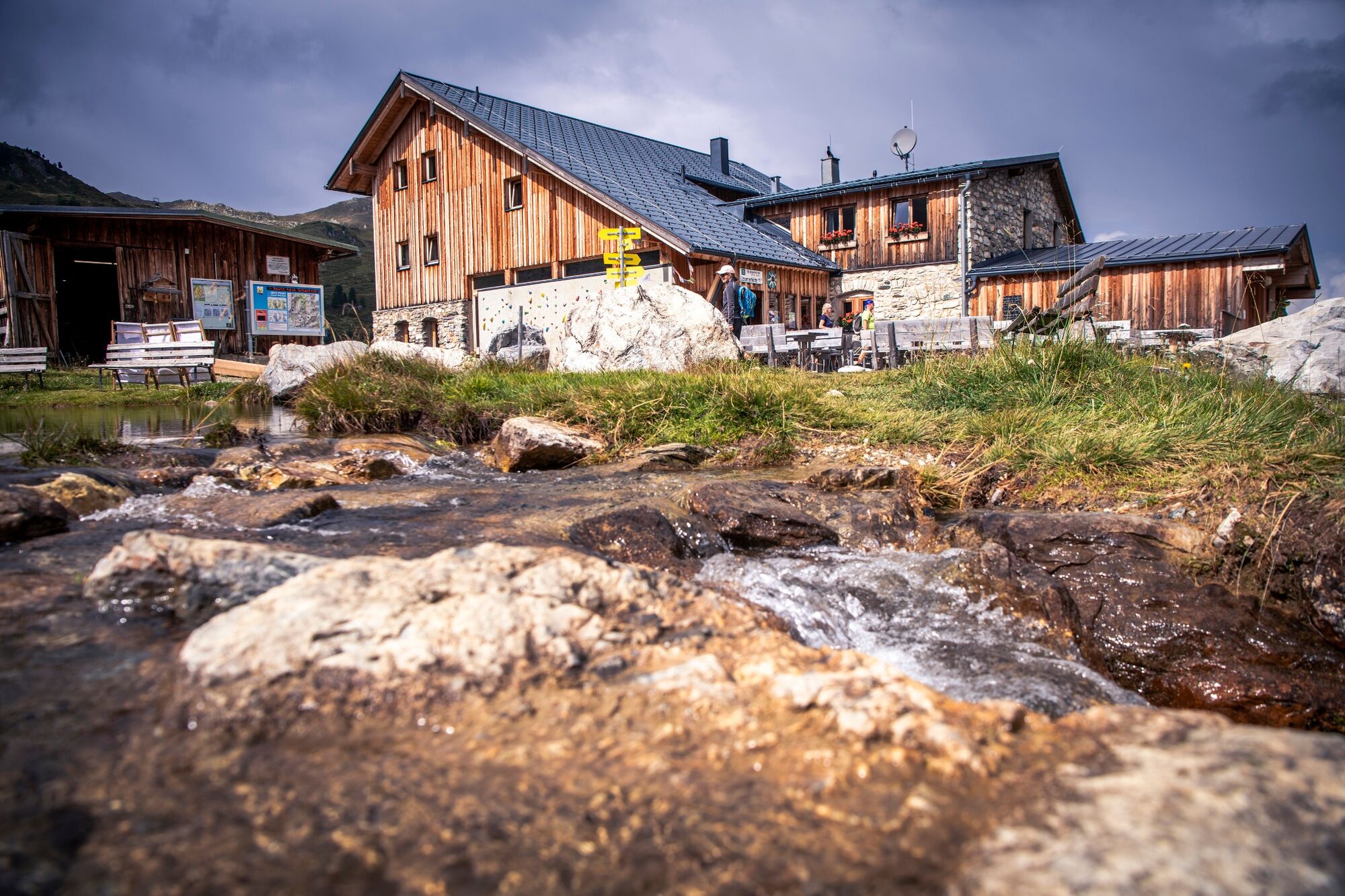
Continue along the ridge of the Glungezer over several smaller peaks towards the Rosenjoch. At the summit of the Rosenjoch, follow the markings over an exposed passage to the Grünbergspitze. Via the Grafmartspitze you reach the Naviser Jöchl. Through numerous serpentines in green alpine pastures you reach the Mölsjoch. Via the Klamm Joch you finally reach the Lizumerhütte.
- Stopień trudności
-
ciężkie
- Ocena
-
- Trasa
-
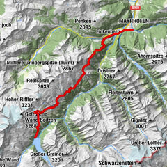
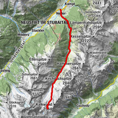
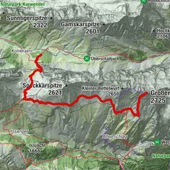
Glungezerhütte0,0 kmGlungezer (2.677 m)0,4 kmGamslahnerspitze (2.681 m)1,7 kmKreuzspitze (2.746 m)3,4 kmRosenjoch (2.796 m)4,2 kmGrünbergspitze (2.790 m)5,0 kmGrafmartspitze (2.720 m)5,6 kmMölsjoch (2.334 m)8,2 kmTarntaler Köpfe (2.756 m)13,2 kmLizumer Hütte (2.019 m)15,7 km
- Najlepszy sezon
-
stylutmarkwimajczelipsiewrzpaźlisgru
- Najwyższy punkt
- 2.787 m
- Miejsce docelowe
-
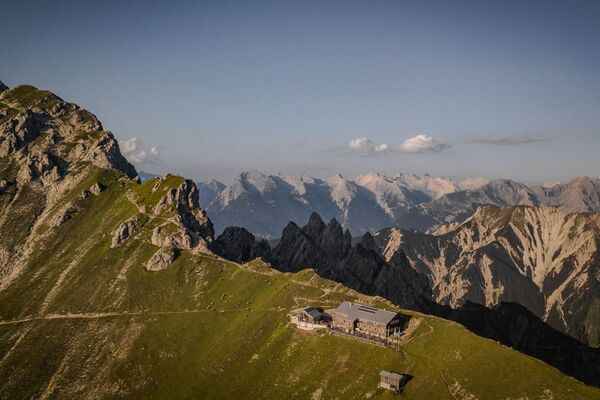
Lizumer Hütte
- Profil wysokości
-


-

-
AutorWycieczka Munich - Venice: From the Glungezer Hut to the Lizumer Hut jest używany przez outdooractive.com pod warunkiem.
GPS Downloads


Informacje ogólne
Wskazówka dla osób mających dostęp do poufnych informacji
Obiecujący
Więcej wycieczek w regionach
-
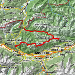
Ferienregion Hall - Wattens
1491
-
Navis
309