- Krótki opis
-
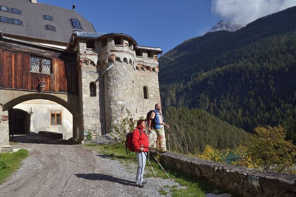
Vom Bahnhof Imst führt der Jakobsweg, auf einer durch einige Anstiege etwas anstrengenden Etappe, über Obsaurs und den Wallfahrtsort Kronburg bis nach Zams.
- Trasa
-
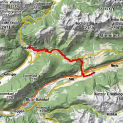
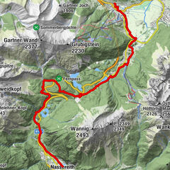
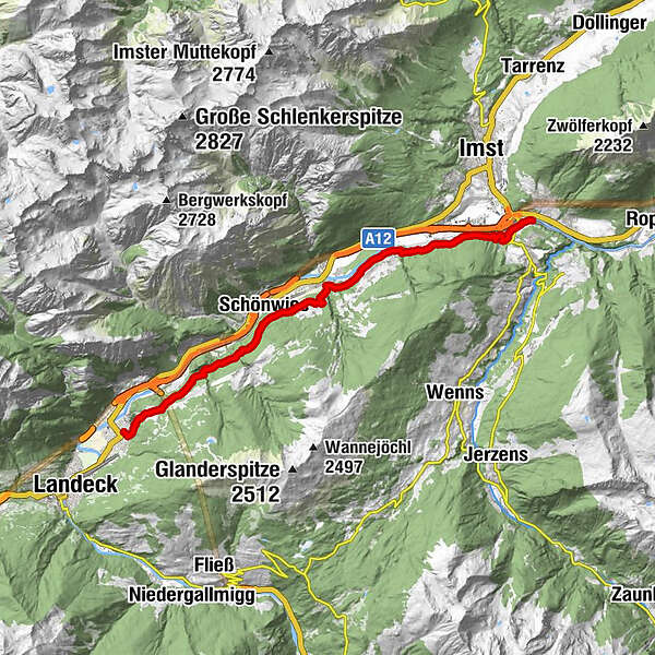
Imst-Pitztal (716 m)0,0 kmAu5,1 kmGasthaus Alpenrose5,1 kmImsterberg (879 m)6,0 kmRied7,9 kmTotenkapelle8,6 kmSt.Vigil8,7 kmim Loch8,8 kmSchönwies (737 m)10,6 kmWallfahrtskirche Mariahilf13,4 kmGasthof Kronburg13,5 kmTotenkapelle Kronburg13,5 kmRifenal15,8 kmAnreit16,6 kmZams (767 m)17,5 km
- Najwyższy punkt
- 972 m
- Miejsce docelowe
-
Zams Zentrum
- Profil wysokości
-

- Autor
-
Wycieczka Jakobsweg Imst Bhf - Zams jest używany przez outdooractive.com pod warunkiem.
GPS Downloads


Więcej wycieczek w regionach
-
Outdoorregion Imst
1228
-
Mils bei Imst
239