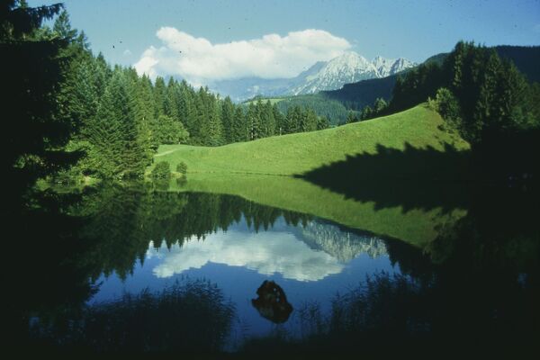
© TVB Wilder Kaiser - TVB Wilder Kaiser/GMedia

© TVB Wilder Kaiser

© TVB Wilder Kaiser - TVB Wilder Kaiser/Thomas Hennerbichler

© TVB Wilder Kaiser

- Krótki opis
-
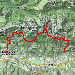
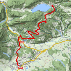
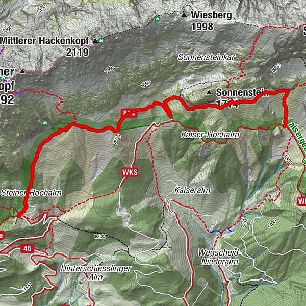
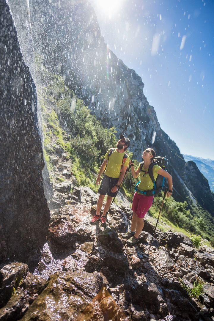
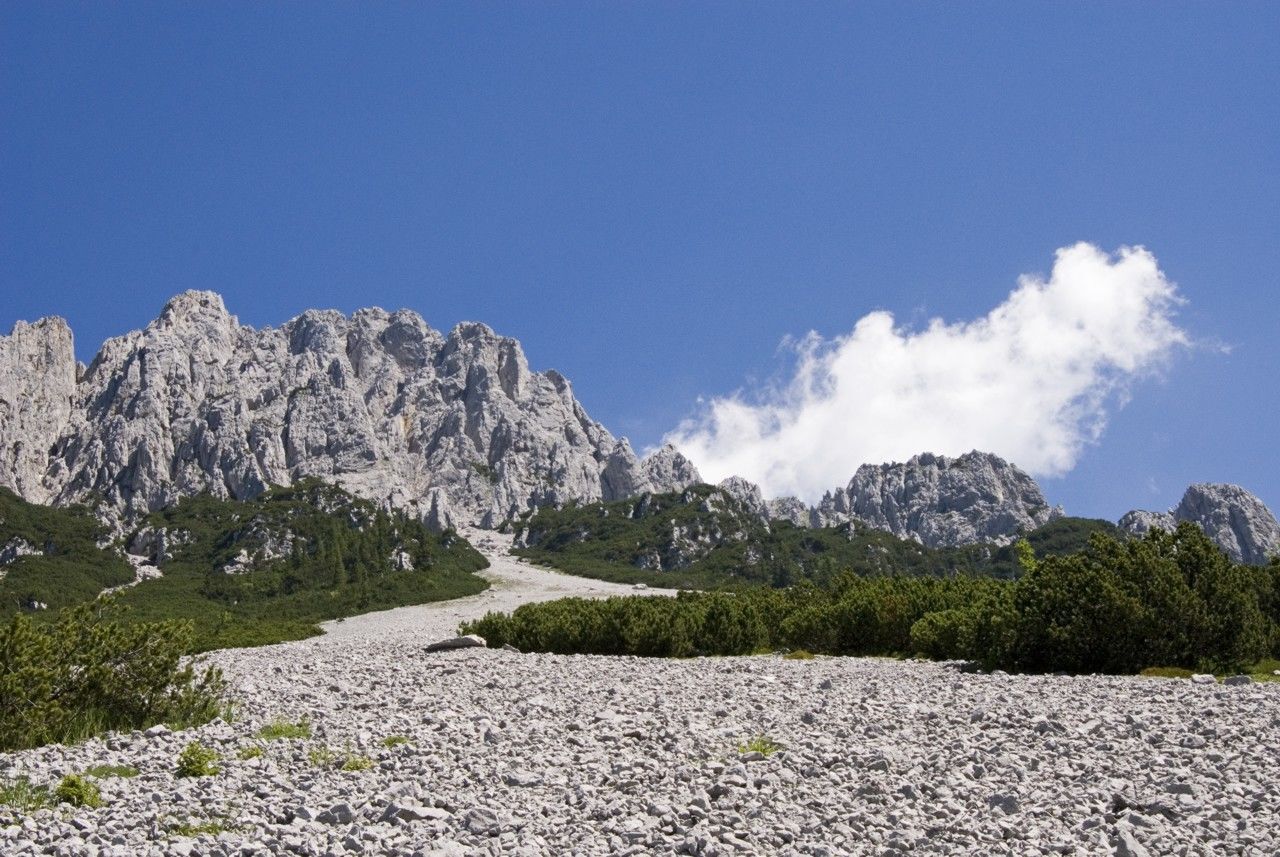
Fork 823/826 – via waterfall – Veitskirche – Steiner-Hochalm
- Stopień trudności
-
średni
- Ocena
-
- Trasa
-
Steiner Hochalm3,8 km
- Najlepszy sezon
-
stylutmarkwimajczelipsiewrzpaźlisgru
- Najwyższy punkt
- 1.590 m
- Miejsce docelowe
-
Steiner-Hochalm, Scheffau (1,257 m)
- Profil wysokości
-


- Autor
-
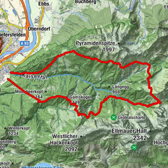
Wycieczka Kaiserkrone - alternative route at the foot of the Sonnenstein jest używany przez outdooractive.com pod warunkiem.
GPS Downloads


Informacje ogólne
Flora
Fauna
Obiecujący
Więcej wycieczek w regionach
-
Wilder Kaiser
1951
-
Scheffau am Wilden Kaiser
614