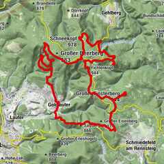
Rundwanderweg - Über Schmiedebacher Kopf und Kolitschberg - Wanderstart Goldisthal

Wędrówka
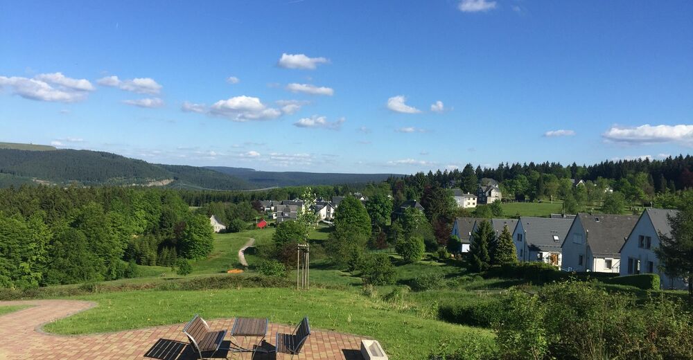
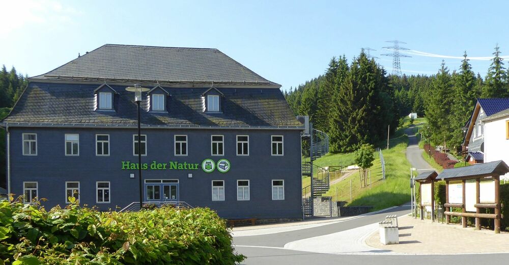
© Thüringer Wald - Elisabeth Otto
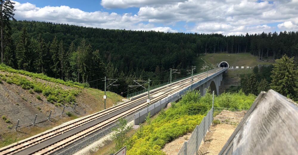
© Thüringer Wald - Erich Krauß

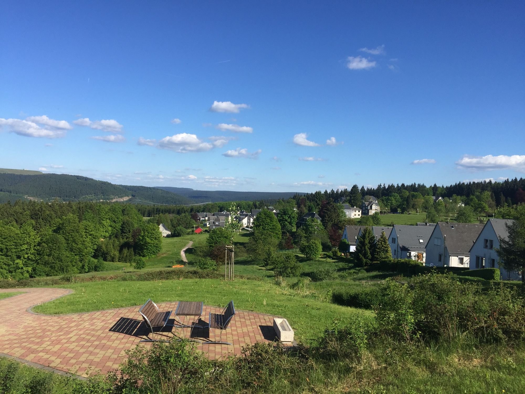
© Thüringer Wald - David Lehmann
© Thüringer Wald - David Lehmann


- Krótki opis
-
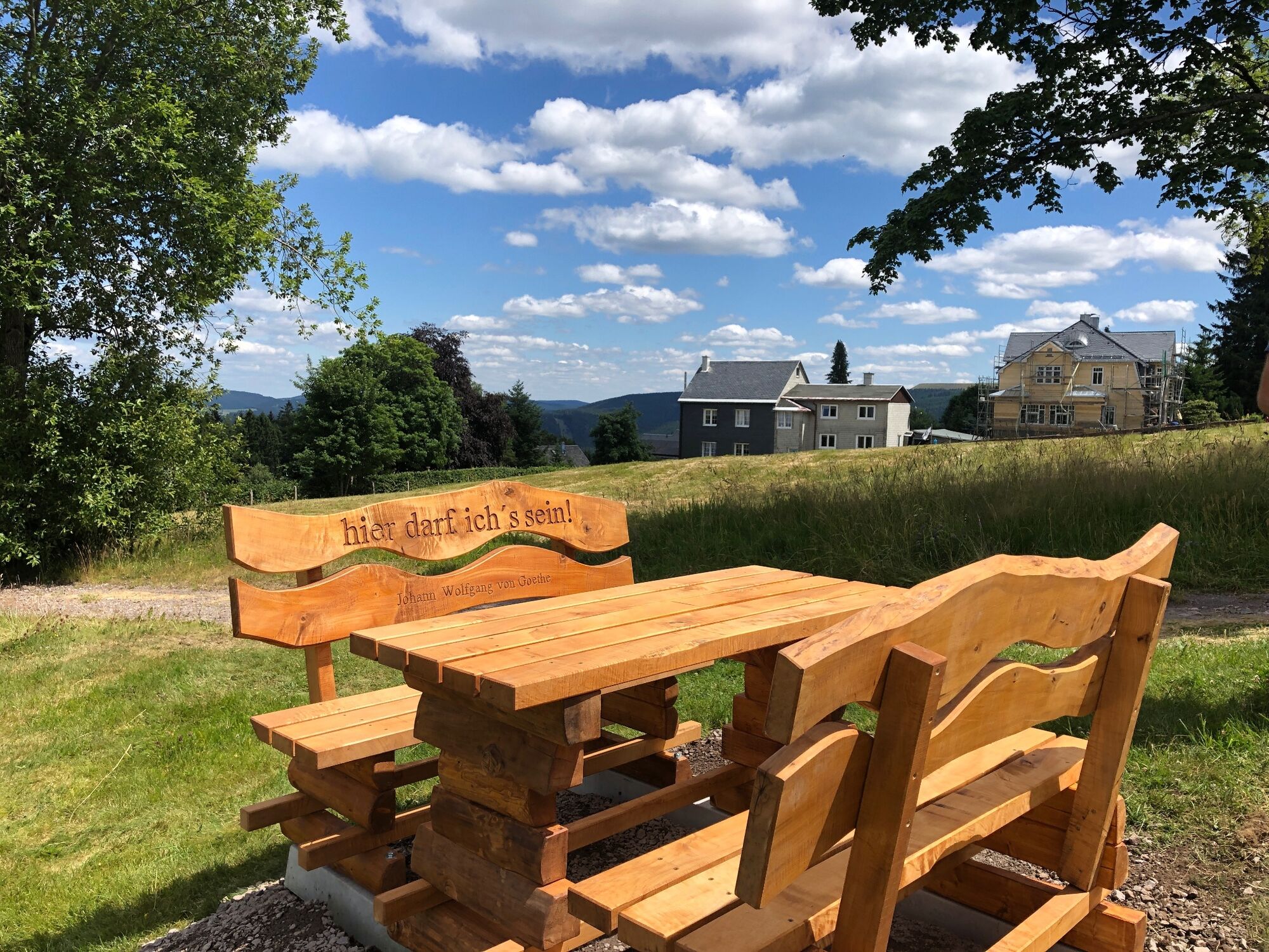
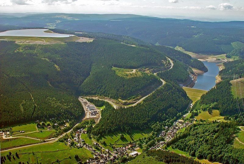
Auf dieser Rundwanderung erleben Sie herrliche Weitsicht in das Schwarzatal und noch viel mehr.
- Stopień trudności
-
średni
- Ocena
-
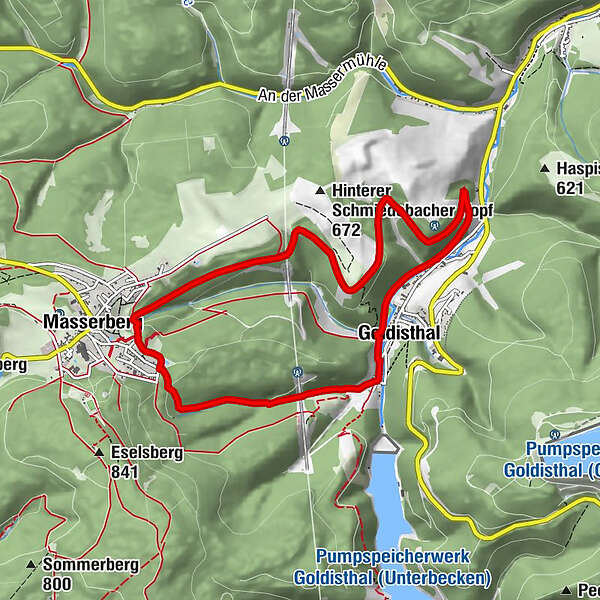
- Trasa
-
Goldisthal (512 m)0,4 kmGolden Nugget0,8 kmMasserberg5,8 kmGoldberg-Klause8,5 kmGoldisthal (512 m)8,6 km
- Najlepszy sezon
-
stylutmarkwimajczelipsiewrzpaźlisgru
- Najwyższy punkt
- 737 m
- Miejsce docelowe
-
Wanderstart Goldisthal
- Profil wysokości
-
 © outdooractive.com


- Autor
-
Wycieczka Rundwanderweg - Über Schmiedebacher Kopf und Kolitschberg - Wanderstart Goldisthal jest używany przez outdooractive.com pod warunkiem.
GPS Downloads


Informacje ogólne
Flora
Fauna
Obiecujący
Więcej wycieczek w regionach
-
Thüringer Wald
986
-
Coburg Rennsteig / Thüringen
492
-
Goldisthal
190