Educational trail - Between the Mountains and the Lake

Trasa tematyczna
© Lago Maggiore e Valli - Mariano Berri
© Lago Maggiore e Valli - Mariano Berri
© Lago Maggiore e Valli - Mariano Berri
© Lago Maggiore e Valli - Mariano Berri
© Lago Maggiore e Valli - Mariano Berri
© Lago Maggiore e Valli - Mariano Berri
© Lago Maggiore e Valli - Mariano Berri
© Lago Maggiore e Valli - Mariano Berri
© Lago Maggiore e Valli - Mariano Berri
© Lago Maggiore e Valli - Mariano Berri

- Krótki opis
-
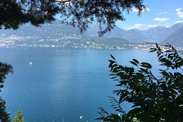
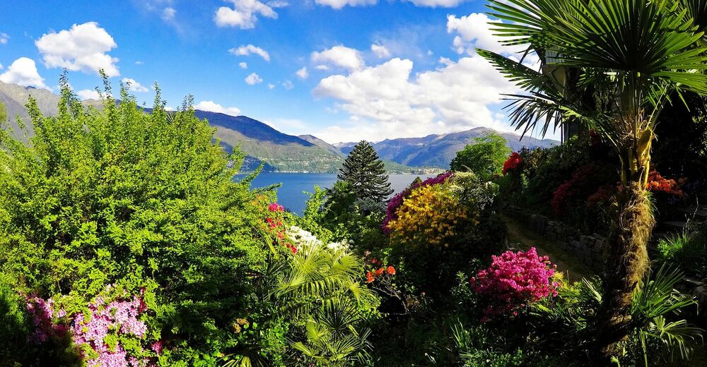
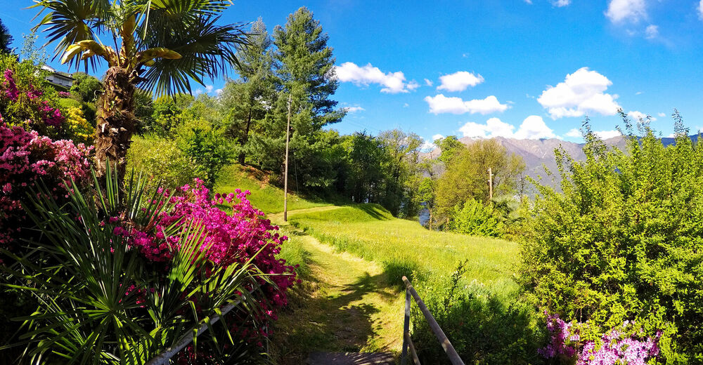
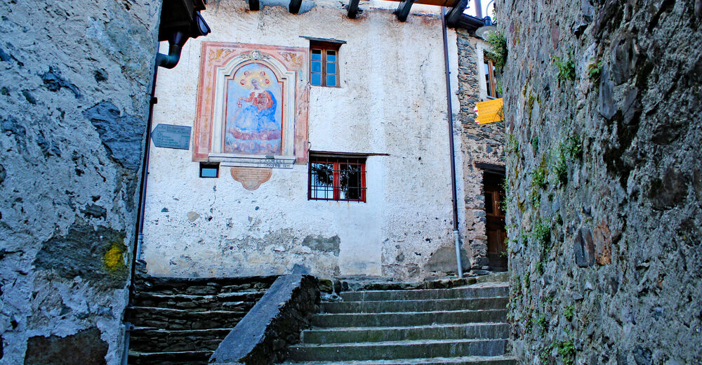
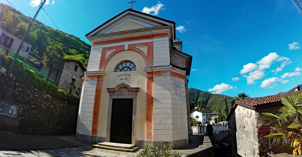
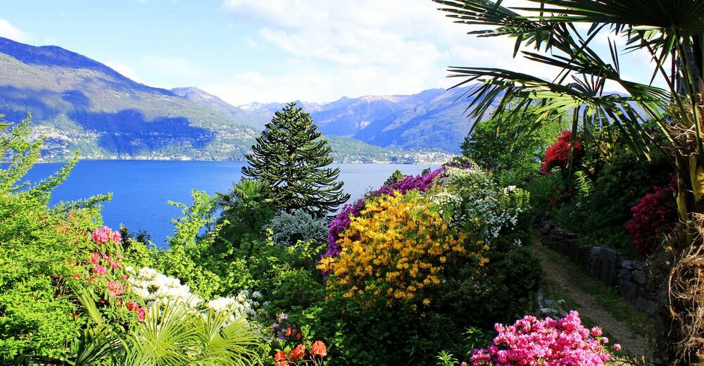
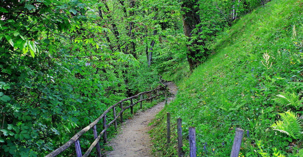
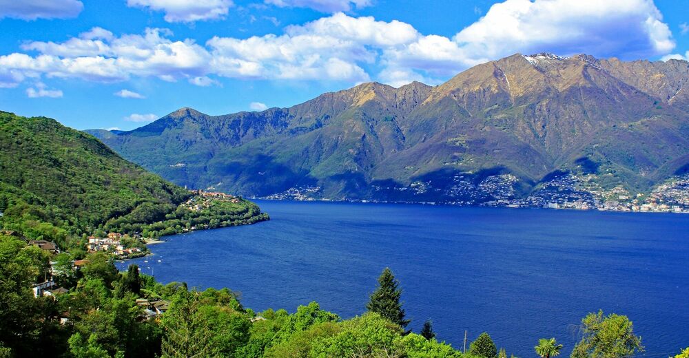
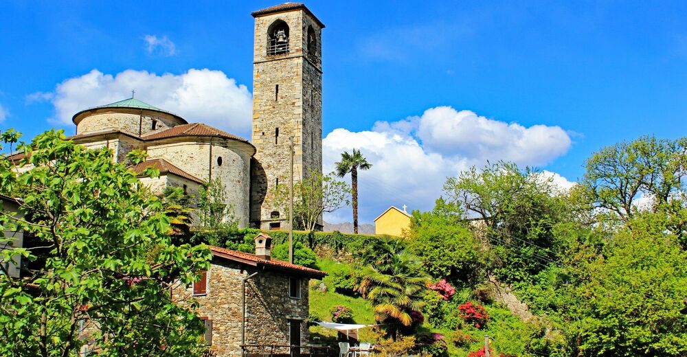
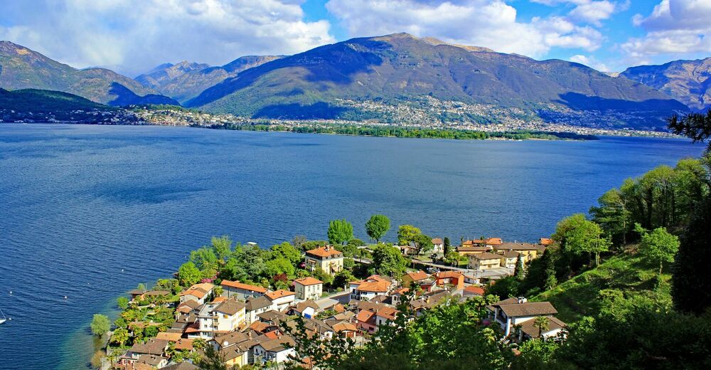
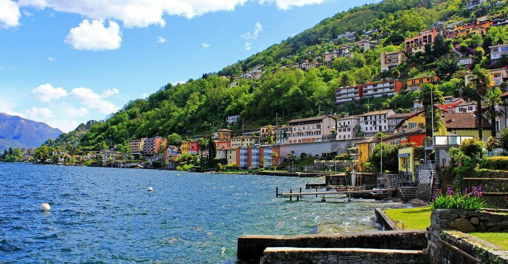
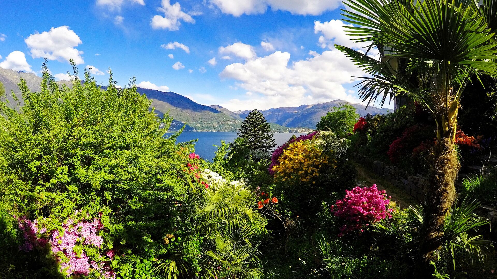
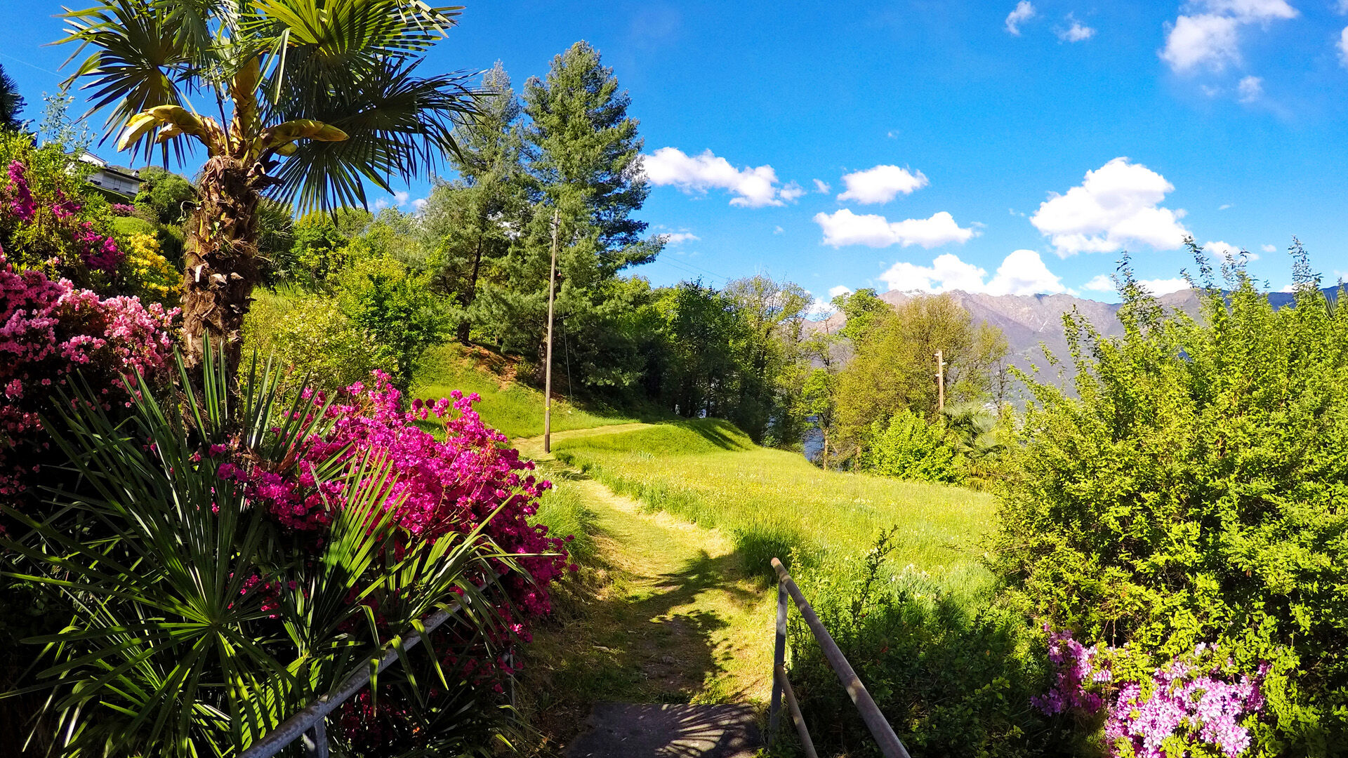
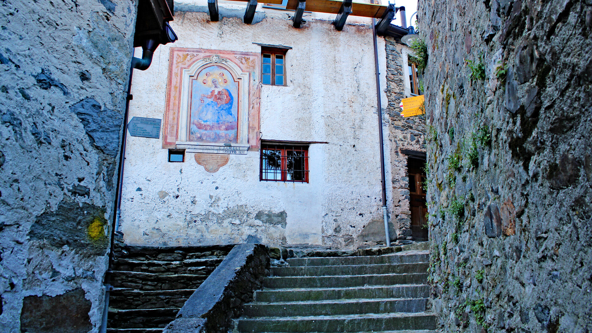
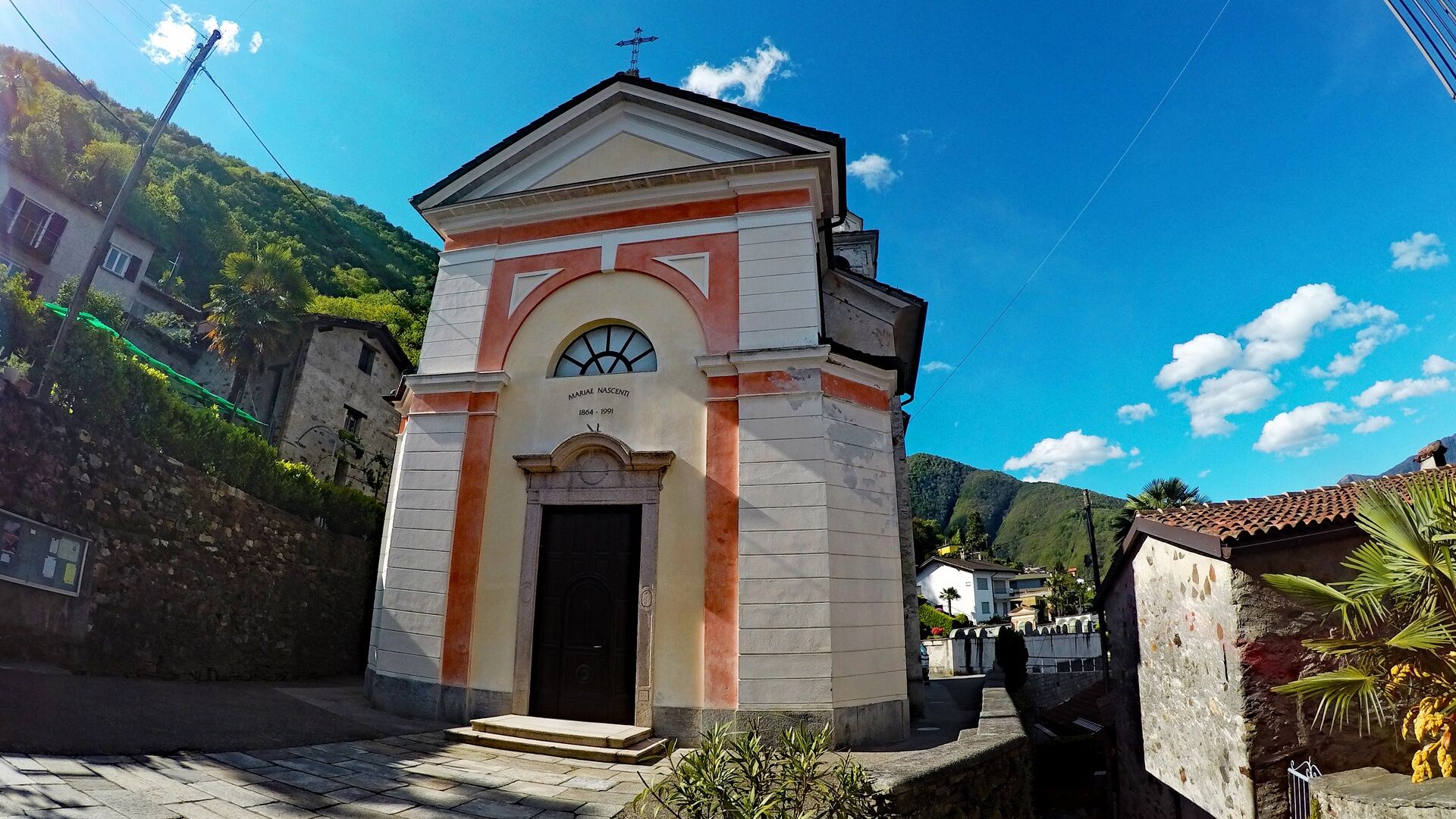
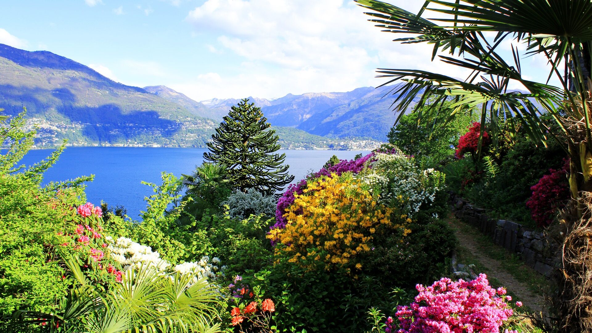
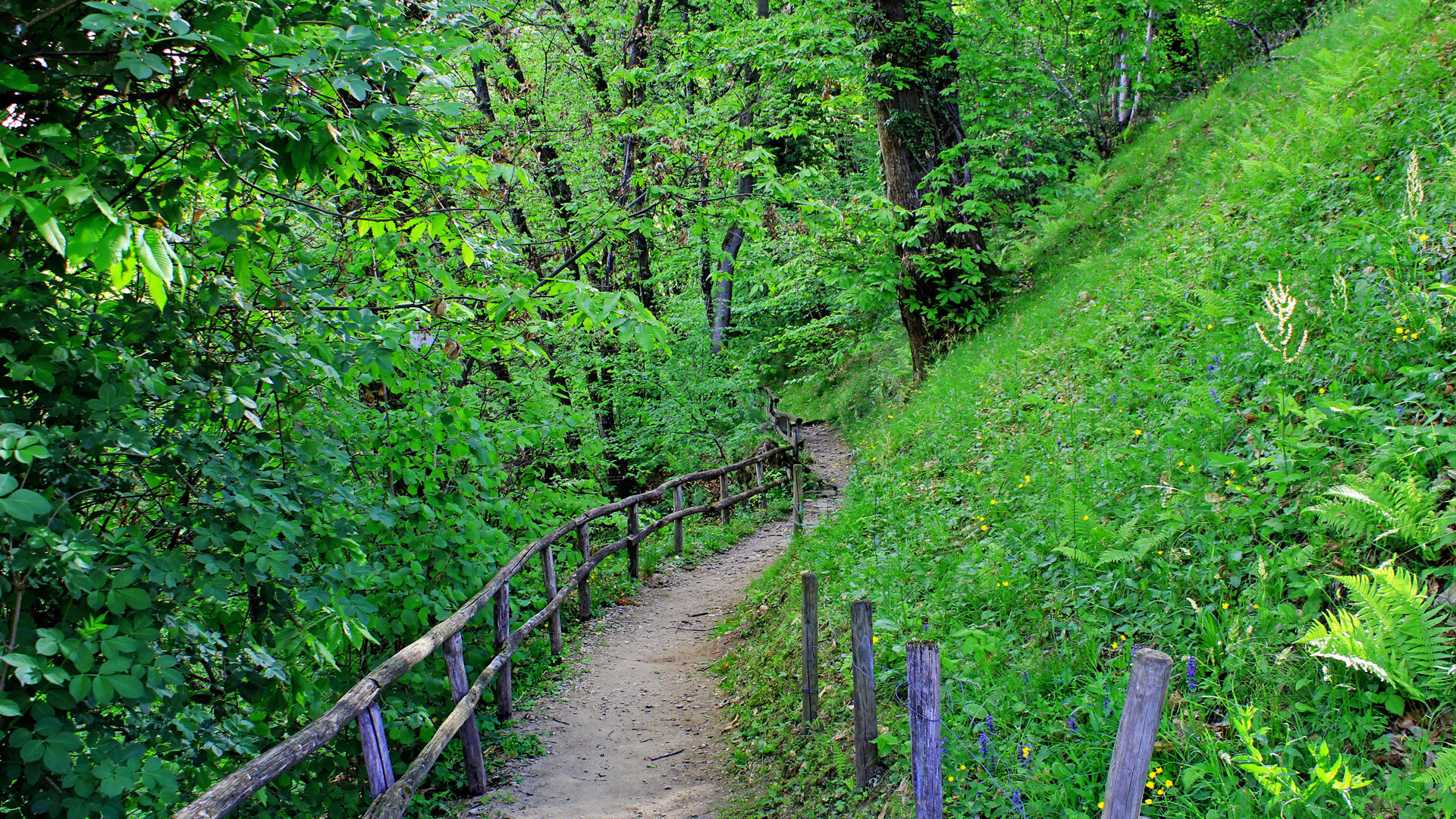
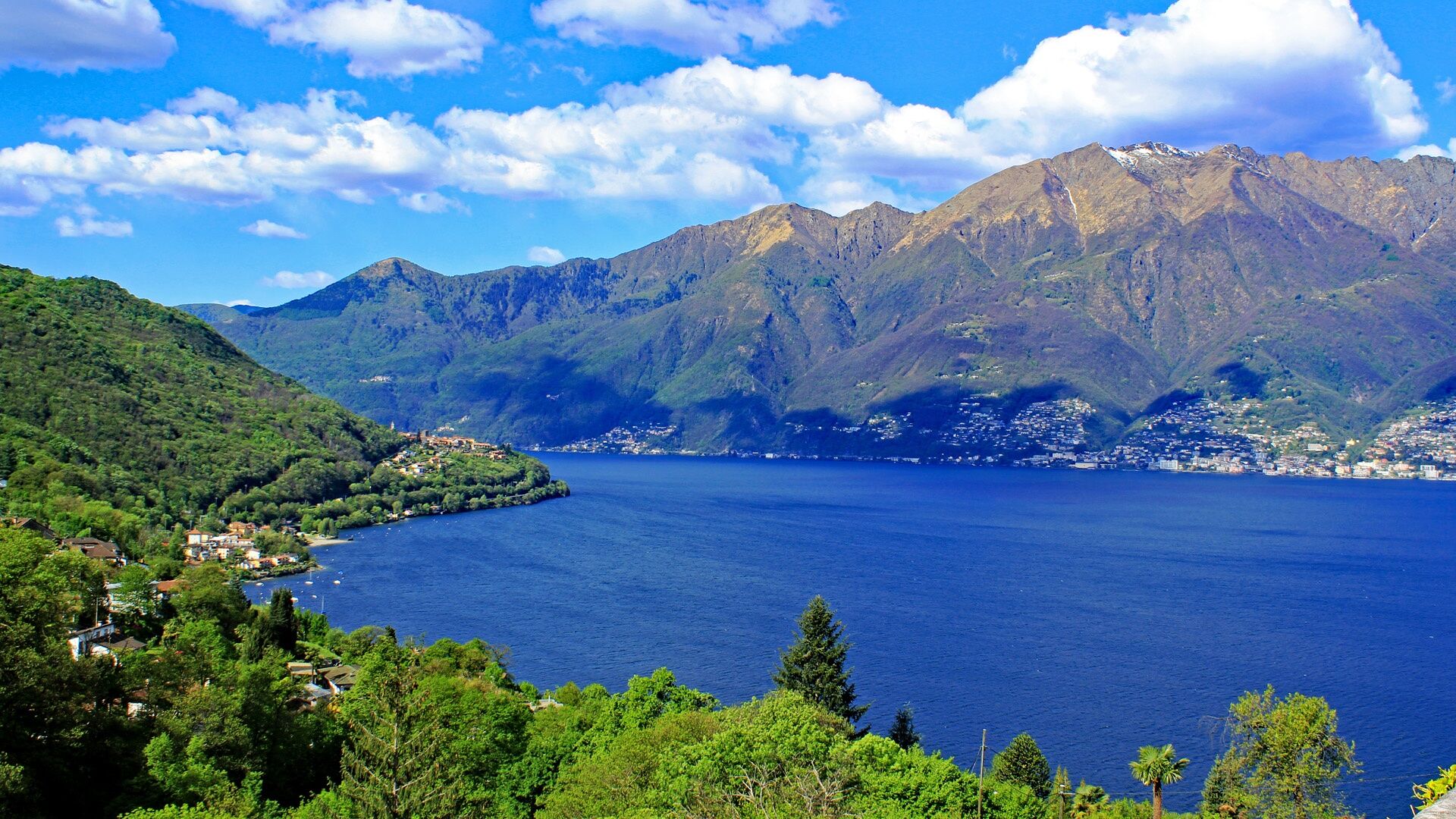
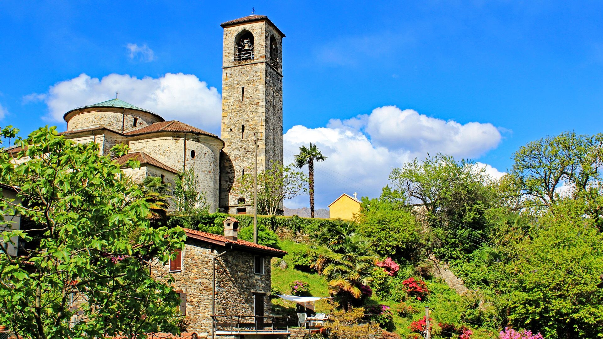
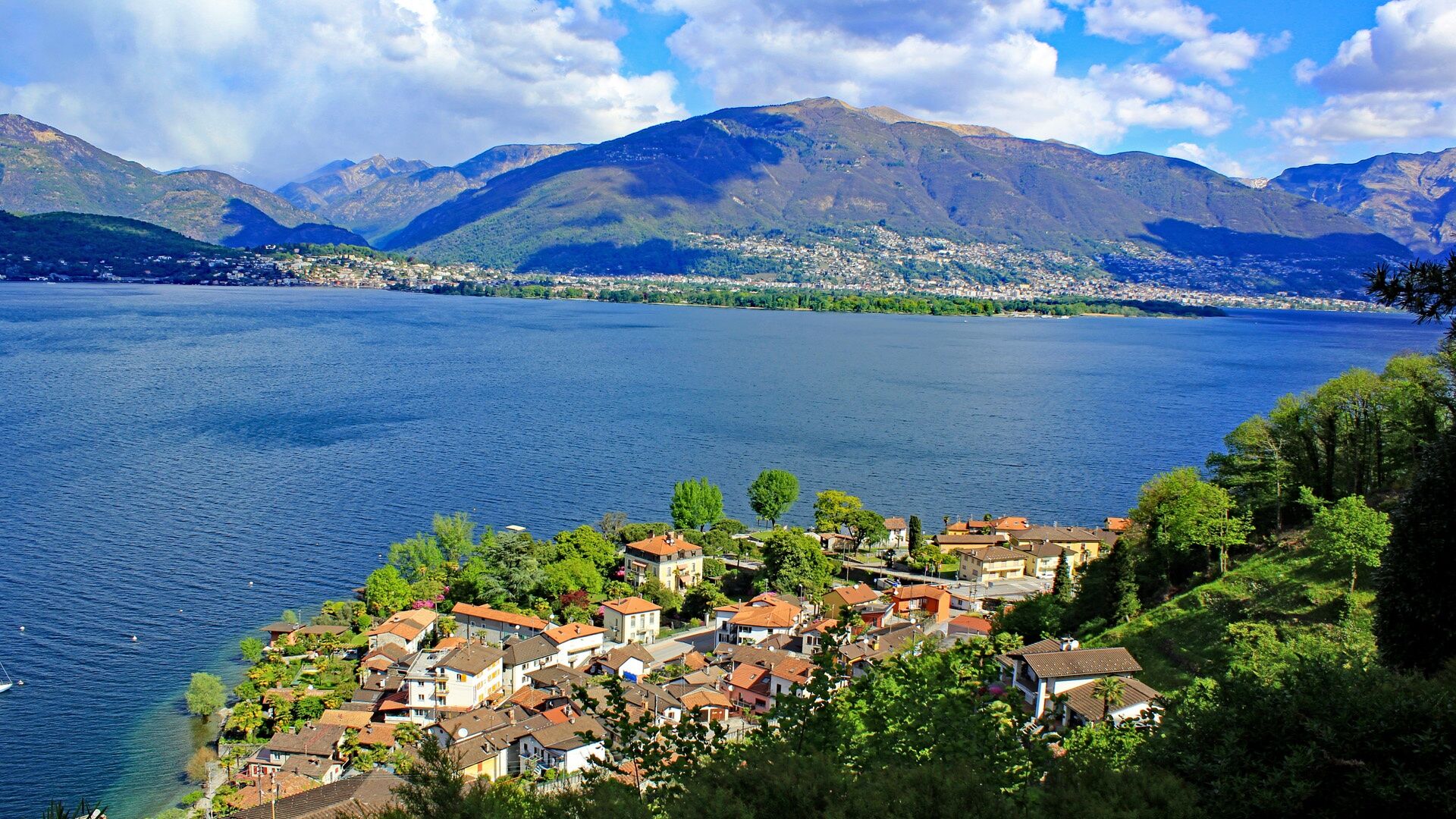
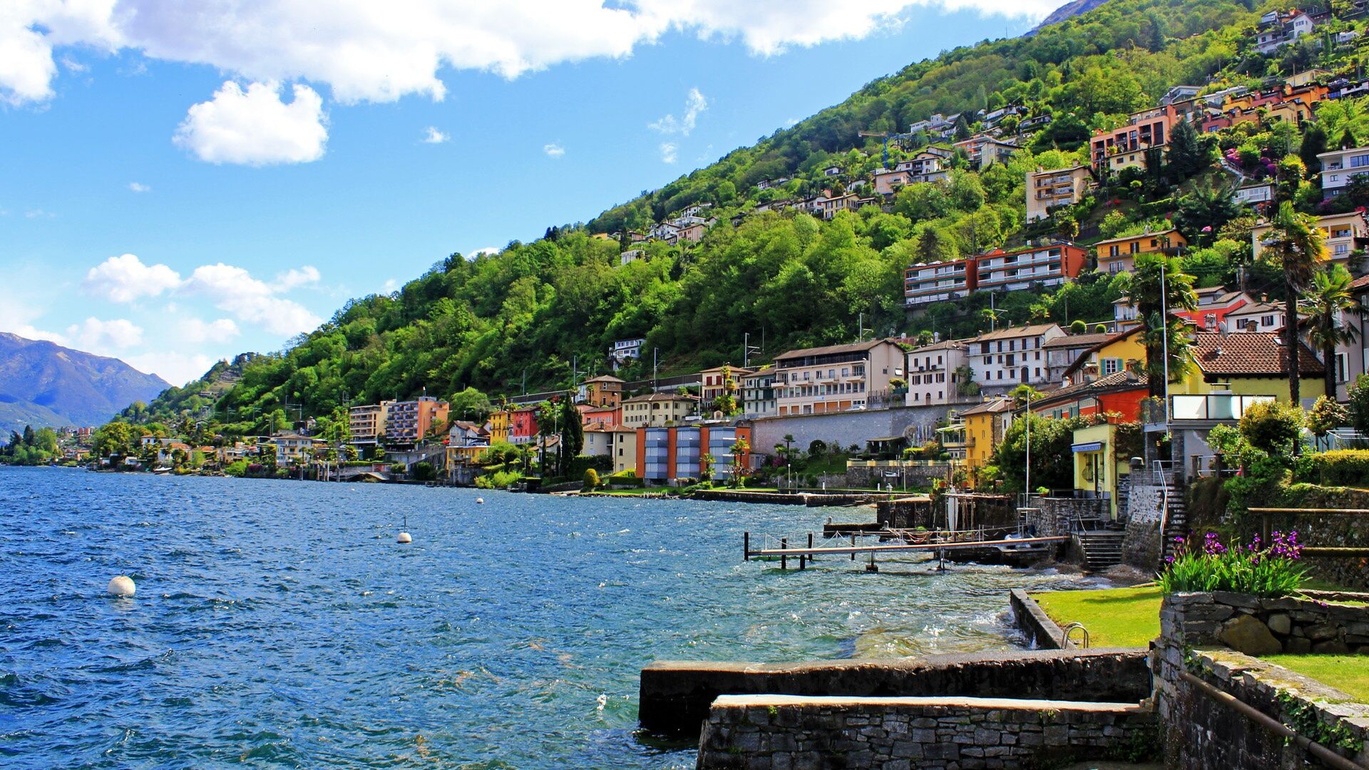
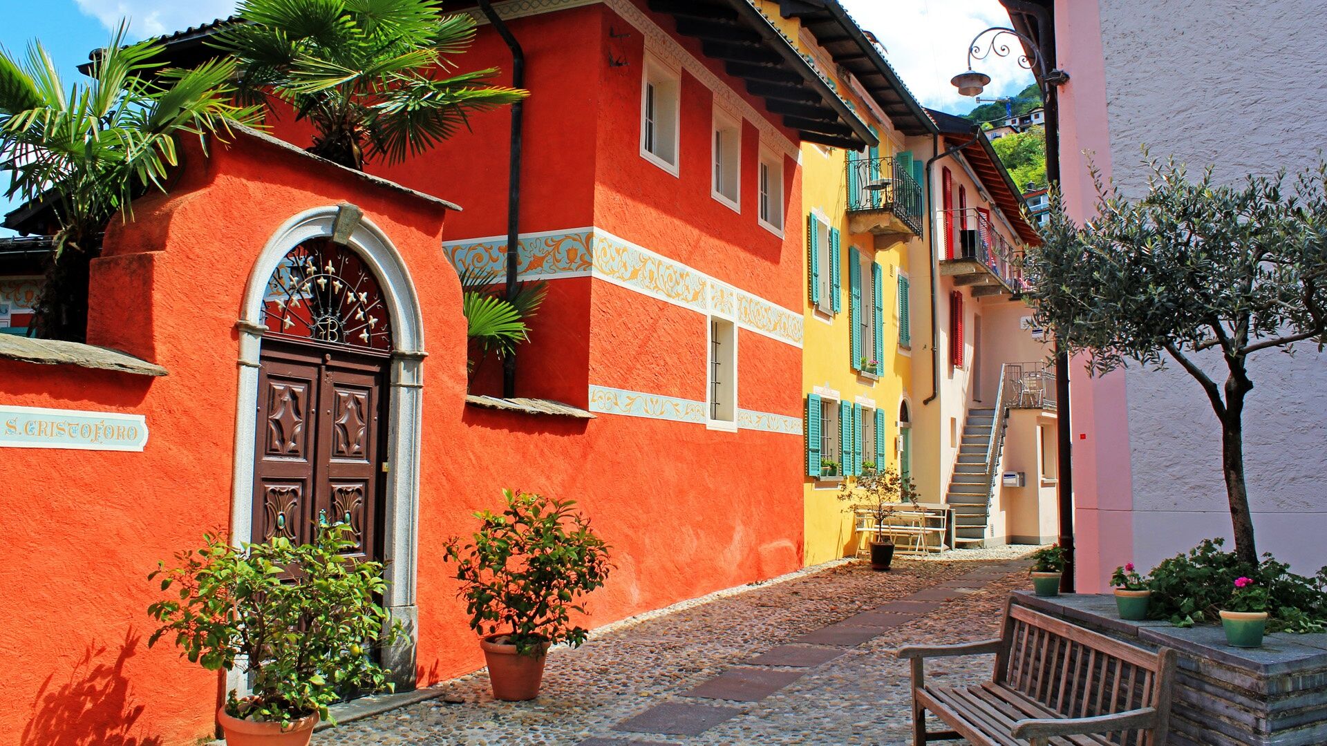
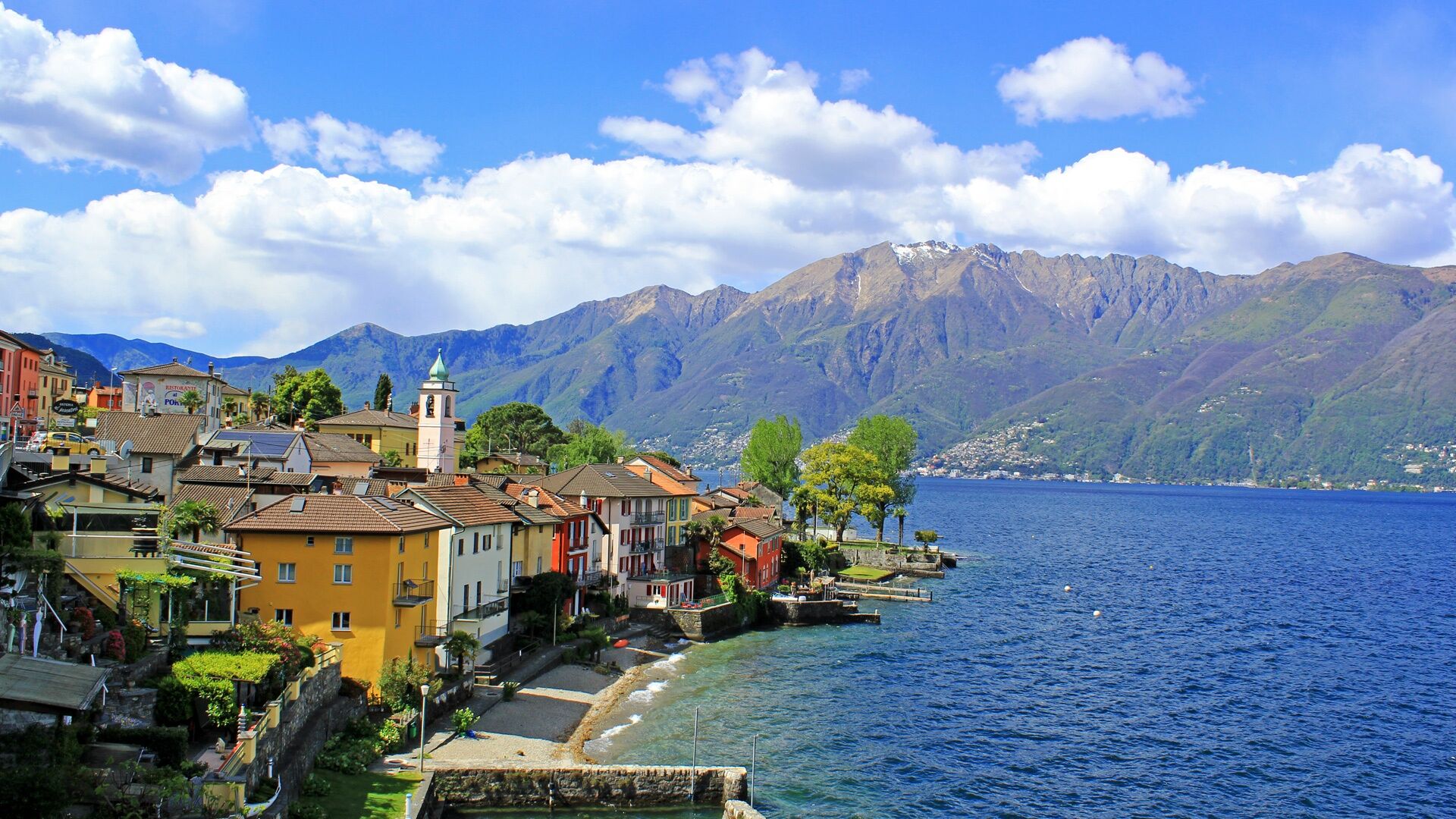
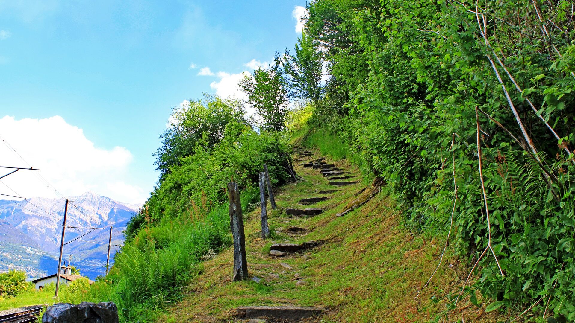
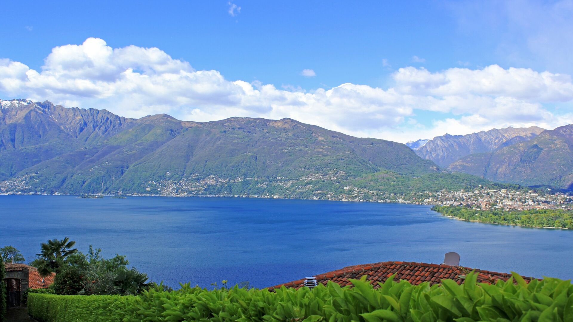
The Between the Mountains and the Lake educational trail links Dirinella, also the starting point for the mountain trail of the same name, to the railway station in Cadenazzo. The itinerary passes through woods, meadows and villages with enchanting views and panoramas, as well as industrial and agricultural areas and roads, offering an exhaustive insight into Gambarogno and the Magadino plain.
- Stopień trudności
-
średni
- Ocena
-
- Trasa
-
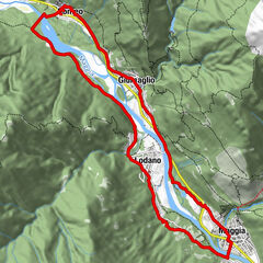
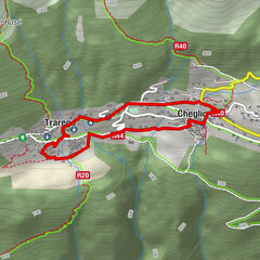
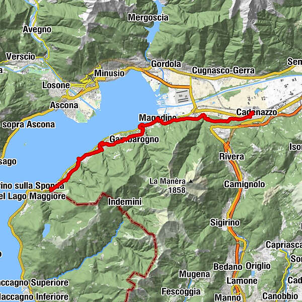
Dirinella0,1 kmScaiano0,3 kmChiesa di Santa Maria Nascente1,0 kmOsteria del Sole1,0 kmCaviano (282 m)1,1 kmChiesa di Santa Maria Nascente1,8 kmRistorante Grotto Bellavista1,8 kmSant'Abbondio (331 m)1,9 kmCalgiano2,2 kmScimiana4,0 kmGerra (216 m)4,1 kmAl Portico4,6 kmScalo di Gerra4,7 kmRonco4,9 kmGerra (Gambarogno) NLM (222 m)5,0 kmCasenzano6,7 kmSan Nazzaro (201 m)7,2 kmTaverna7,2 kmSan Nazzaro (211 m)7,5 kmOsteria Viarano8,6 kmVairano (392 m)8,8 kmPiazzogna (365 m)9,4 kmAl Grottino10,4 kmGambarogno (196 m)10,8 kmMonti di Fosano11,6 kmFosano11,6 kmLa Riva12,5 kmVira (204 m)12,8 kmVira (Gambarogno) (201 m)13,1 kmMagadino-Vira (215 m)13,6 kmMagadino (197 m)14,2 kmMagadino (196 m)14,5 kmOrgnana15,3 kmQuartino18,2 kmGrotto la Strega18,3 kmContone (206 m)21,7 kmSan Giovanni Battista21,9 kmCadenazzo (247 m)23,1 kmCadenazzo (208 m)23,2 km
- Najlepszy sezon
-
stylutmarkwimajczelipsiewrzpaźlisgru
- Najwyższy punkt
- 390 m
- Miejsce docelowe
-
Cadenazzo
- Profil wysokości
-
 © outdooractive.com
- Autor
-
Wycieczka Educational trail - Between the Mountains and the Lake jest używany przez outdooractive.com pod warunkiem.
GPS Downloads


Informacje ogólne
Przystanek odświeżania
Kulturalny/Historyczny
Flora
Obiecujący
Więcej wycieczek w regionach
-
Lago Maggiore / Lombardei
745
-
Gambarogno Riviera
592
-
Gambarogno
252