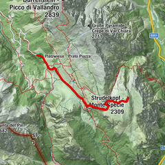
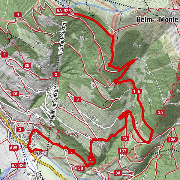
Mountain station Monte Elmo - Rifugio Larice - Valley station Monte Elmo

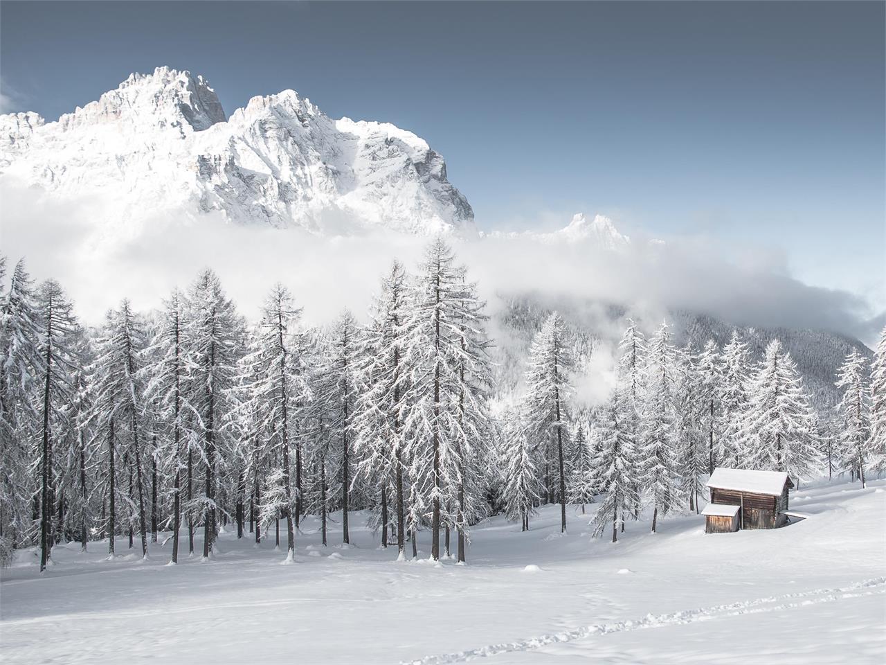
Wędrówka zimą

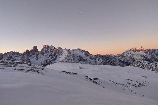
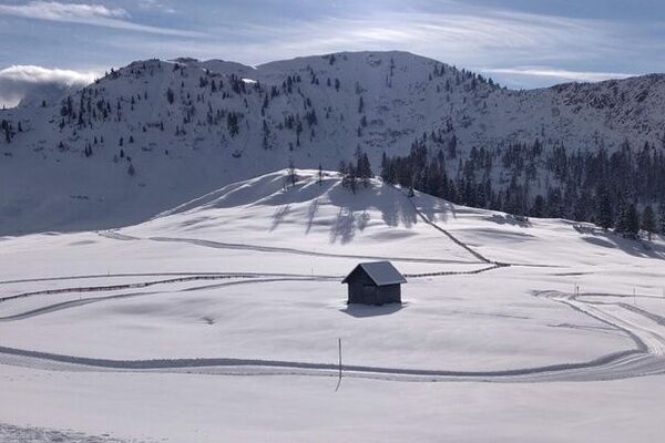
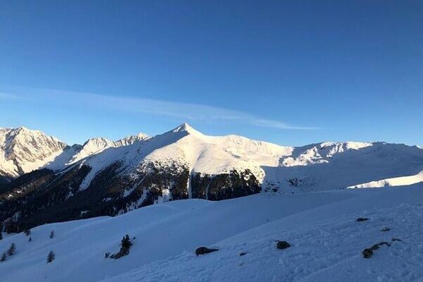
© 3 Zinnen Dolomites - M. Kottersteger

- Stopień trudności
-
średni
- Ocena
-
- Trasa
-
Lärchenhütte (1.830 m)2,0 kmTschurtschenthaler Hof4,1 kmSexten6,7 km
- Najlepszy sezon
-
siewrzpaźlisgrustylutmarkwimajczelip
- Najwyższy punkt
- 2.118 m
- Profil wysokości
-
 © outdooractive.com
- Autor
-
Wycieczka Mountain station Monte Elmo - Rifugio Larice - Valley station Monte Elmo jest używany przez outdooractive.com pod warunkiem.
GPS Downloads


Więcej wycieczek w regionach