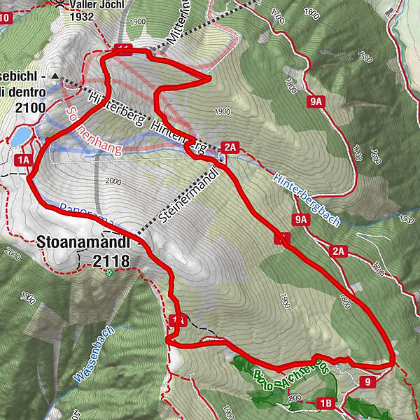
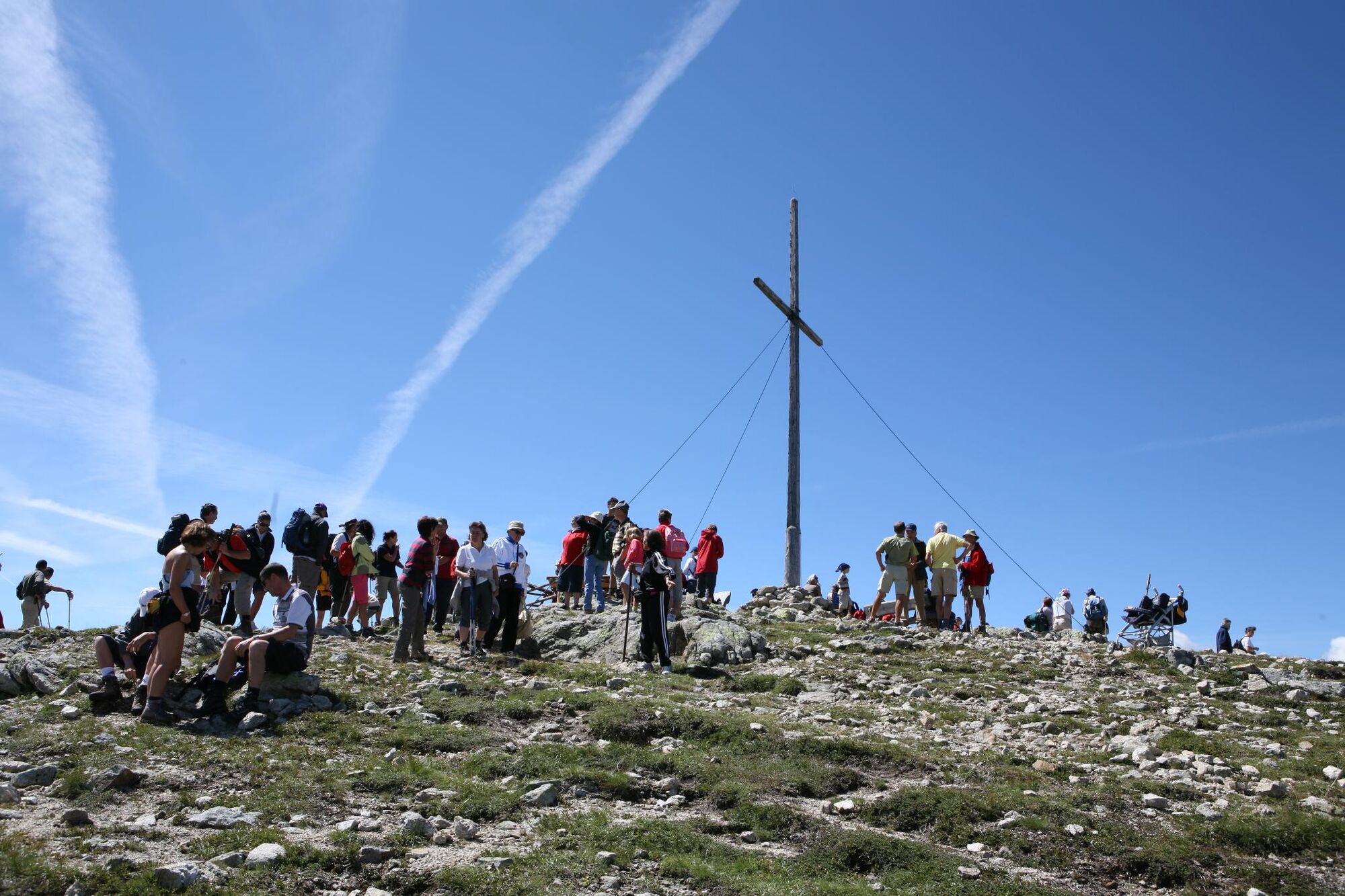
“Steiner Mandl” Panorama Hiking Trail in Jochtal Valley near Valles|Vals

Wędrówka

© Tourismusverein Gitschberg Jochtal

- Krótki opis
-
A leisurely walk to the summit of Steiner Mandl at the edge of the mountain, west of Vallertal Valley near Rio di Pusteria. Along the way there are several places where you can stop and rest, but you should allow yourself time, the 360° view needs to be enjoyed. Jochtal mountain gondola is operational in summer from the beginning of June until mid October.
- Trasa
-
Bergrestaurant Jochtal (2.009 m)Kinderlift0,0 kmSteinermandl2,1 kmStoanamandl (2.118 m)2,1 kmAichener Wiesen3,5 kmAnratterhütte (1.814 m)6,0 kmLinderalm (1.900 m)6,6 kmJochtal Bergrestaurant7,6 kmBergrestaurant Jochtal (2.009 m)7,6 km
- Najwyższy punkt
- 2.112 m
- Miejsce docelowe
-
Jochtal cable car mountain station (2,006m)
- Profil wysokości
-
 © outdooractive.com
- Autor
-
Wycieczka “Steiner Mandl” Panorama Hiking Trail in Jochtal Valley near Valles|Vals jest używany przez outdooractive.com pod warunkiem.
GPS Downloads


Więcej wycieczek w regionach
-
Brixen und Umgebung
1973
-
Gitschberg - Jochtal
671
-
Vals
129