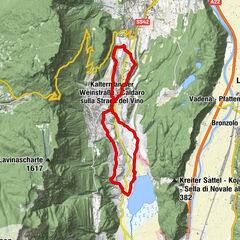
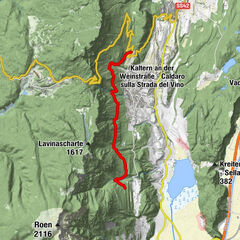
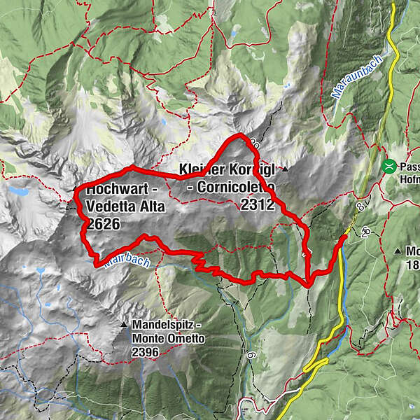
Loop trail with hike up to the top of Mount Cornicoletto, Belmonte and Vedetta Alta in the Maddalena Group

Wędrówka

© APT - Val di Non - APT Val di Non

© APT - Val di Non - Andreas Tamanini

© APT - Val di Non - Andreas Tamanini

© APT - Val di Non - Andreas Tamanini

© APT - Val di Non - Andreas Tamanini

- Krótki opis
-
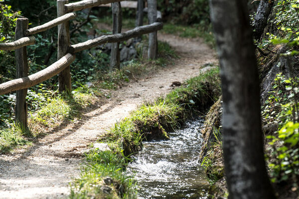
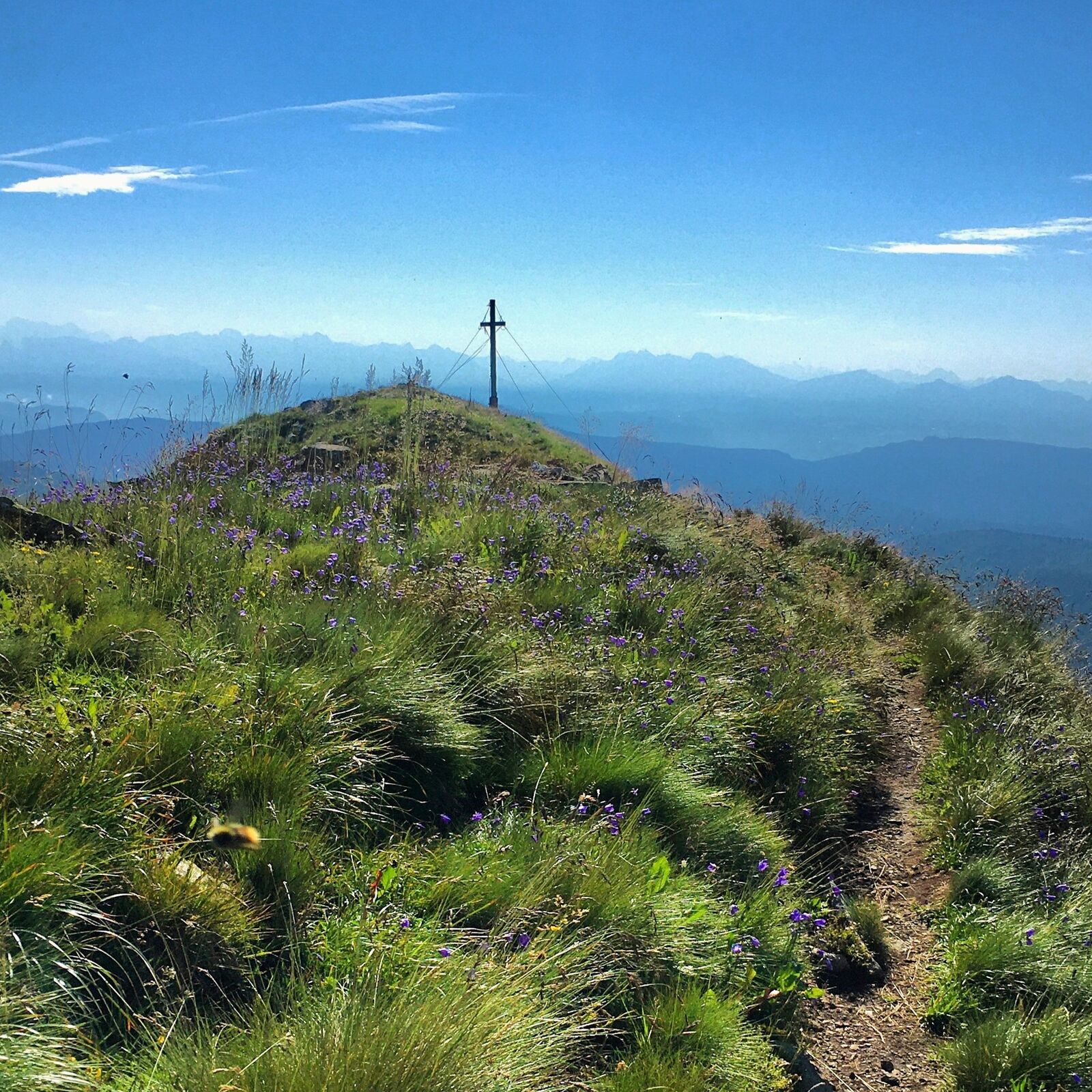
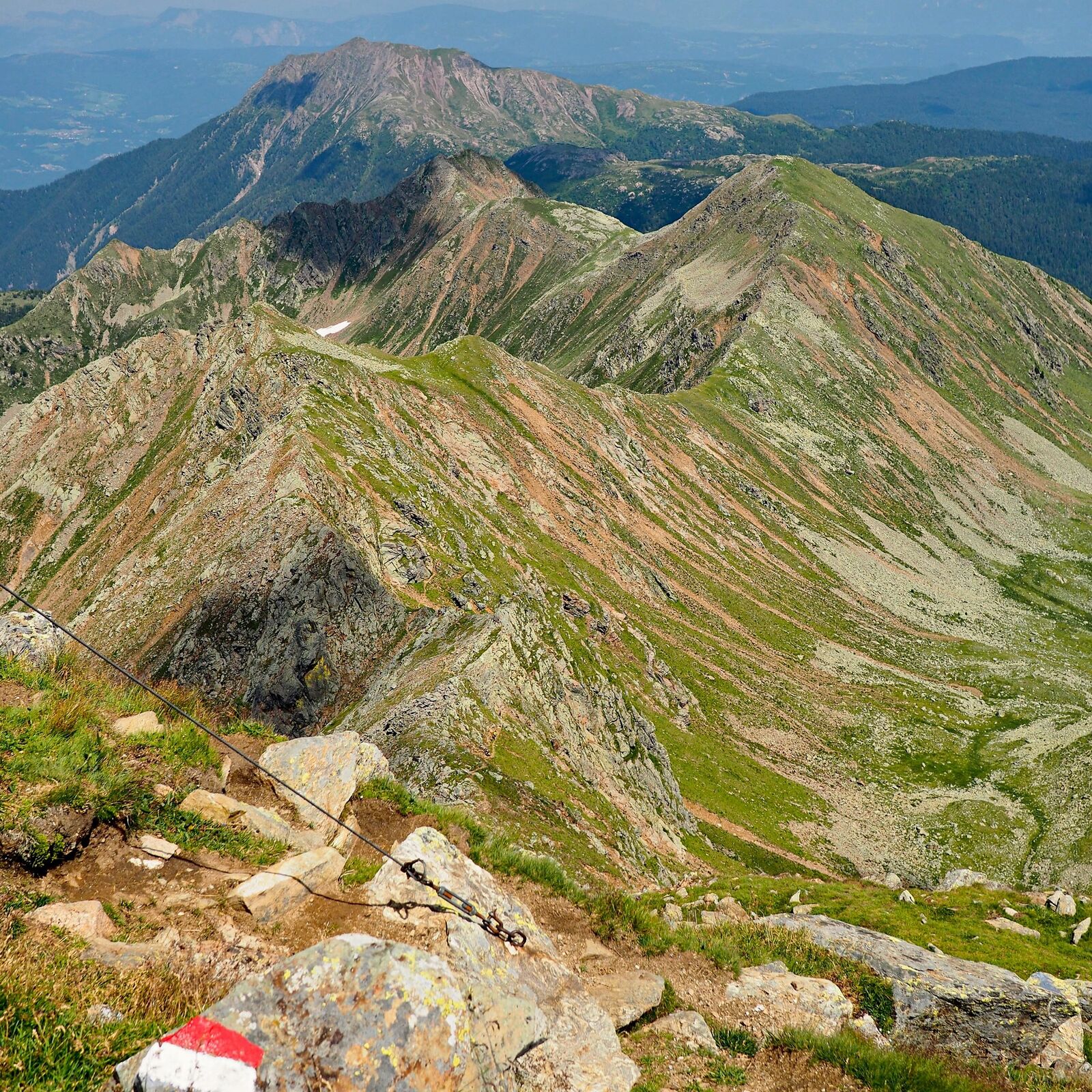
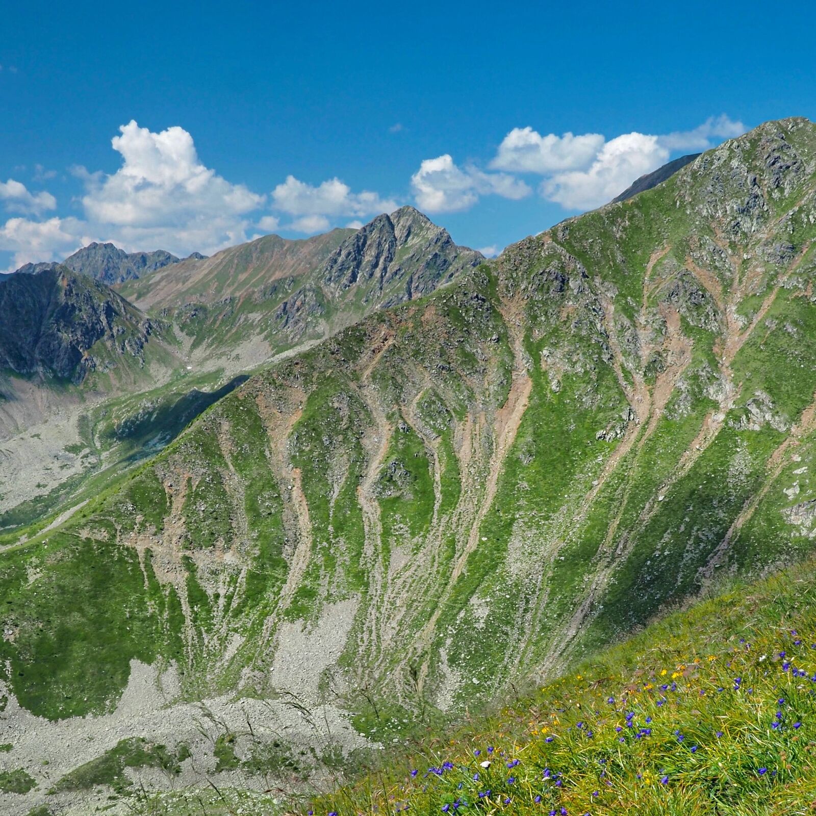
An excursion packed with satisfaction that winds along the most beautiful peaks and ridges of the wild Maddalena mountain range, on the border with South Tyrol.
- Stopień trudności
-
średni
- Ocena
-
- Trasa
-
Cloz Alm0,8 kmObere Alm1,7 kmKleiner Kornigl (2.419 m)3,3 kmSchöngrub (2.451 m)4,0 kmHochwart (2.626 m)5,8 kmObere Kessel Alm8,3 kmUntere Kessel Alm9,7 kmRewauer Alm10,6 kmCloz Alm11,1 km
- Najlepszy sezon
-
stylutmarkwimajczelipsiewrzpaźlisgru
- Najwyższy punkt
- 2.614 m
- Miejsce docelowe
-
Hofmahd car park between Val di Non and Val d'Ultimo
- Profil wysokości
-
 © outdooractive.com


- Autor
-
Wycieczka Loop trail with hike up to the top of Mount Cornicoletto, Belmonte and Vedetta Alta in the Maddalena Group jest używany przez outdooractive.com pod warunkiem.
GPS Downloads


Informacje ogólne
Przystanek odświeżania
Obiecujący
Więcej wycieczek w regionach
-
Meraner Land
1735
-
Ultental - Deutschnonsberg
638
-
Proveis
124