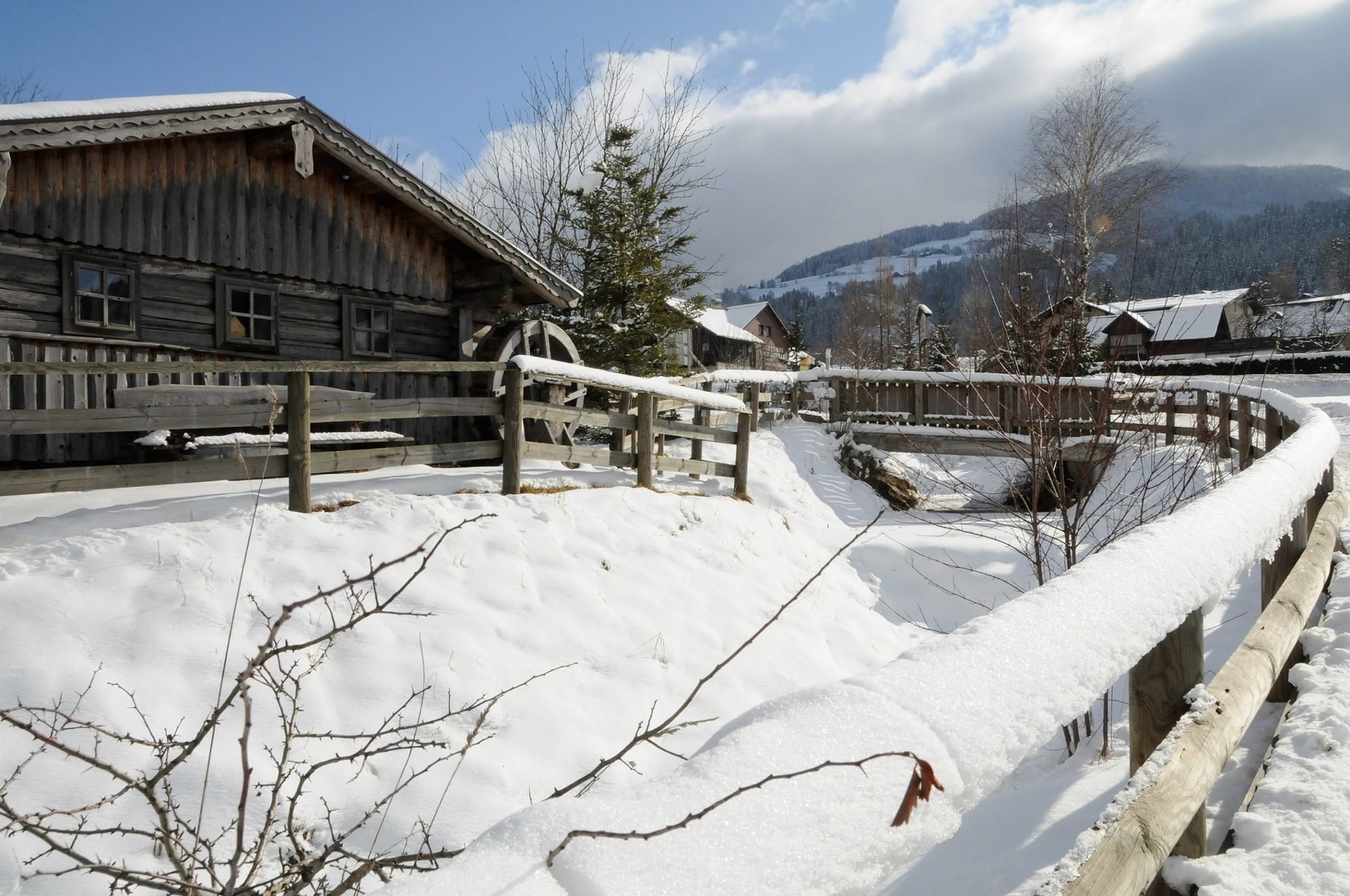
© © www.haus.at - TV Haus-Aich-Gössenberg

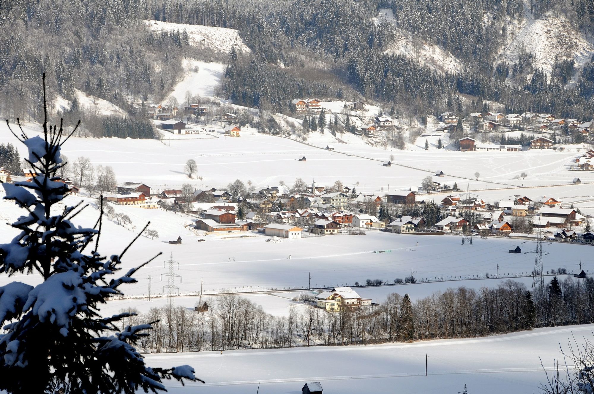
© Unbekannt - Tourismusverband Haus-Aich-Gössenberg

© Unbekannt - Tourismusverband Haus-Aich-Gössenberg

- Krótki opis
-
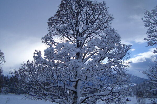
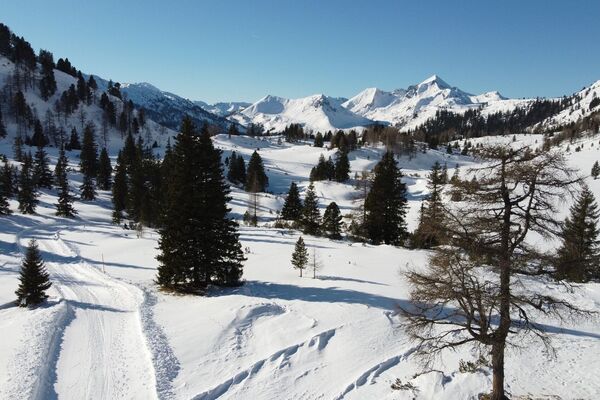
Experience the magical landscape of snowy Ennsvalley!
- Stopień trudności
-
łatwe
- Ocena
-
- Trasa
-
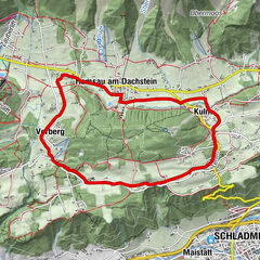
Haus im EnnstalWeißenbach2,6 kmHaus im Ennstal5,0 km
- Najlepszy sezon
-
siewrzpaźlisgrustylutmarkwimajczelip
- Najwyższy punkt
- 741 m
- Miejsce docelowe
-
Haus im Ennstal (outdoor swimmingpool)
- Profil wysokości
-


-
-
AutorWycieczka Villages and hike in the Enns Valley jest używany przez outdooractive.com pod warunkiem.
GPS Downloads


Informacje ogólne
Przystanek odświeżania
Więcej wycieczek w regionach
-
Schladming - Dachstein
159
-
Haus - Aich
81
-
Haus im Ennstal
36